
Éthiopie
Description

Ethiopia is a landlocked and largely mountainous country in the northeastern Horn of Africa. The Great Rift Valley runs right across from the northeast to the southwest, creating a wide variety of landscapes, from plateaus, mountains and lakes to deserts, lowlands and salt plains.
In the north of Ethiopia is the mighty massif of the Semien Mountains National Park. More than twenty peaks reach up to 4000 m or more, the so-called "Roof of Africa". They harbour the highest peak in Ethiopia, snow-covered Ras Dejen (4550 m). Southwest from the Semien range is Lake Tana, source of the Blue Nile.
In the southeast, on the other side of the Great Rift Valley, are the Bale Mountains, also a national park and high plateau with numerous volcanic outcrops reaching up to 4000m, lakes and deep river gorges. Ethiopia's second highest peak Tullu Demtu (4377 m) sits here.
A remote area is the Danakil (or Afar or Dallol) Depression at more than 100m below sea level, with vast expanses of desert, volcanoes, (hot) lava, salt plains and lakes, and reputedly the hottest place on earth. Slightly less remote but also in the lowlands lies the Awash National Park along the Awash River, with a dry terrain of acacia woodland and grassland full of wildlife.
Hiking is common in Semien Mountains and Bale Mountains National Parks, but also possible in the Omo Valley and even in the Sultanate of Aussa near the border with Djibouti. Trails are not marked or signposted, so it is common and sometimes necessary to hire a local guide and pack animals.
Inside or near most national parks camping is possible, and often there are lodge-type accommodations or hotels in nearby towns. Elsewhere facilities are limited or absent.
Régions
Montagnes
Liens
Données
Rapports
Guides et cartes
Hébergement
Organisations
Voyagistes
GPS
Autre
Livres
Netherlands
2018
- Reisgids Ethiopia, Djibouti - Ethiopië | Lonely Planet
- De perfecte reisgids voor zowel de georganiseerde als de zelfstandige reiziger. Naast een algemene inleiding van het land / streek vol met praktische informatie over hoe je er het beste kunt reizen: slapen, eten, vervoer, excursies ... alles kun je er in vinden. Engelstalig. Lonely Planet Lonely Planet Ethiopia & Djibouti is your passport to... Lire la suite
Netherlands
- Resting with Old Man
- "Eight years after graduating from university I found myself on top of a truck in Ethiopia being shot at by a farmer..." Being shot at. Getting lost. Suffering with illness. Eating poisonous snakes. Drinking with the locals... Andrew Wilson's eight year journey around the world was filled with adventure and excitement. He wanted to be free and... Lire la suite
- Also available from:
- Bol.com, Belgium
Belgium
- Resting with Old Man
- "Eight years after graduating from university I found myself on top of a truck in Ethiopia being shot at by a farmer..." Being shot at. Getting lost. Suffering with illness. Eating poisonous snakes. Drinking with the locals... Andrew Wilson's eight year journey around the world was filled with adventure and excitement. He wanted to be free and... Lire la suite
Netherlands
- The search for the rarest bird in the world
- Part detective trail, part love affair and pure story telling at its best. In 1990 an expedition of Cambridge scientists arrived at the Plains of Nechisar, tucked between the hills of the Great Rift Valley in the Gamo Gofa province in the country of Ethiopia. Lire la suite
- Also available from:
- Bol.com, Belgium
Belgium
- The search for the rarest bird in the world
- Part detective trail, part love affair and pure story telling at its best. In 1990 an expedition of Cambridge scientists arrived at the Plains of Nechisar, tucked between the hills of the Great Rift Valley in the Gamo Gofa province in the country of Ethiopia. Lire la suite
Netherlands
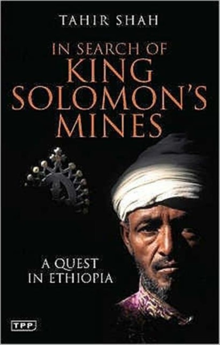
- In Search of King Solomon's Mines, paperback edition
- For more than a century Henry Rider Haggard's novel King Solomon's Mines has inspired generations of young men to set forth in search of adventure. But long before Rider Haggard's classic, explorers, theologians and scientists scoured the known world for the source of King Solomon's astonishing wealth. Taking his leads from a mixture of texts... Lire la suite
- Also available from:
- Bol.com, Belgium
Belgium
- In Search of King Solomon's Mines, paperback edition
- For more than a century Henry Rider Haggard's novel King Solomon's Mines has inspired generations of young men to set forth in search of adventure. But long before Rider Haggard's classic, explorers, theologians and scientists scoured the known world for the source of King Solomon's astonishing wealth. Taking his leads from a mixture of texts... Lire la suite
Netherlands
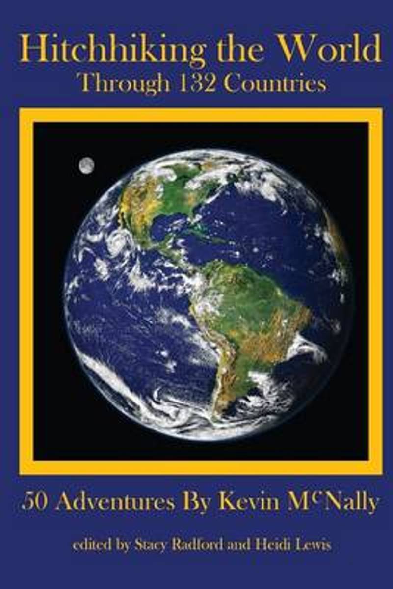
- Hitchhiking the World
- For over 35 years Kevin McNally has been hitching, climbing and sailing on all seven continents. In 2009 he was interviewed on National Public Radio s The World. As host Marco Wermen thumbed through Kevin s seven swollen passports, which are witness to his hitchhiking through 132 countries, Kevin told Marco s 2.5 million listeners a few of his... Lire la suite
- Also available from:
- Bol.com, Belgium
Belgium
- Hitchhiking the World
- For over 35 years Kevin McNally has been hitching, climbing and sailing on all seven continents. In 2009 he was interviewed on National Public Radio s The World. As host Marco Wermen thumbed through Kevin s seven swollen passports, which are witness to his hitchhiking through 132 countries, Kevin told Marco s 2.5 million listeners a few of his... Lire la suite
Netherlands
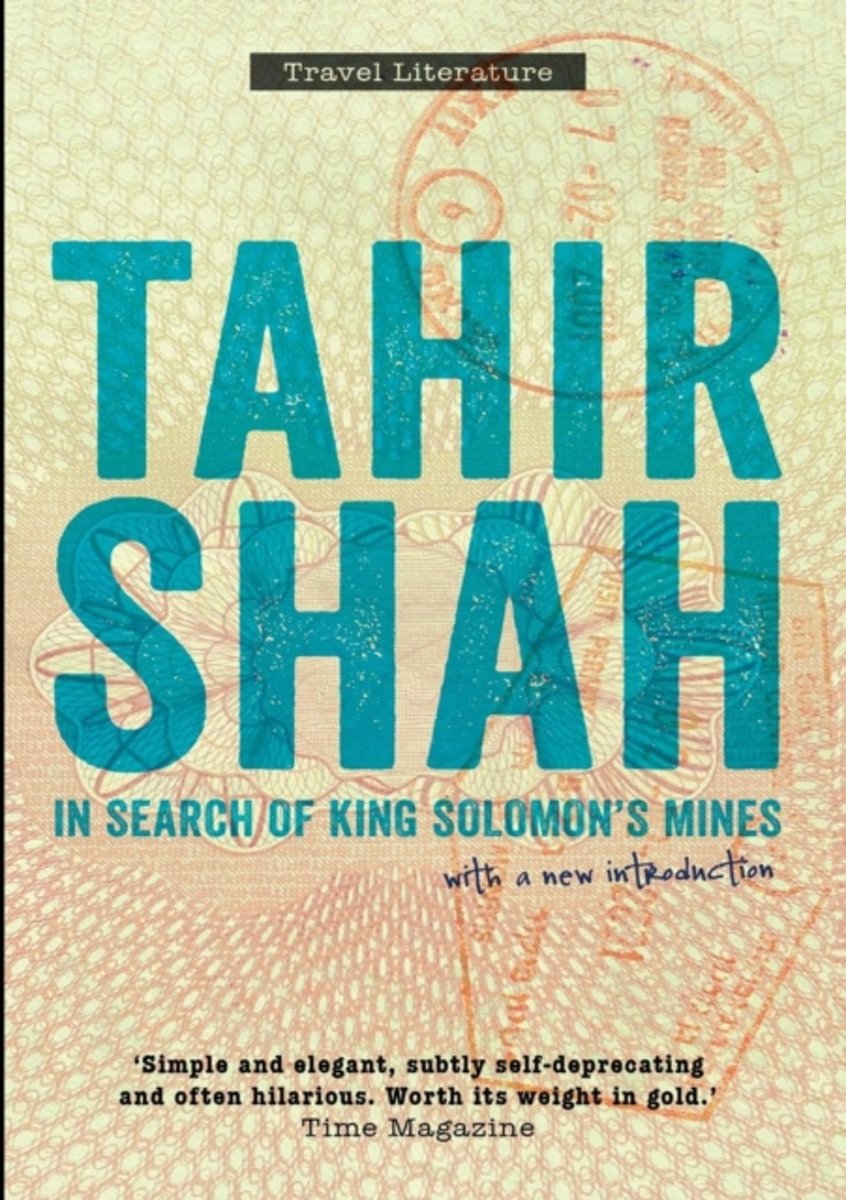
- In Search of King Solomon's Mines
- It began with a map in Jerusalem. The map showed a trail leading to the fabled mines of King Solomon, which have enthralled and tormented all those who have searched for them. Bewitched by the legends, Tahir Shah resolved to take up the quest. Chasing clues from past travellers' tales and local folklore to the Copper Scroll and the Kebra... Lire la suite
- Also available from:
- Bol.com, Belgium
Belgium
- In Search of King Solomon's Mines
- It began with a map in Jerusalem. The map showed a trail leading to the fabled mines of King Solomon, which have enthralled and tormented all those who have searched for them. Bewitched by the legends, Tahir Shah resolved to take up the quest. Chasing clues from past travellers' tales and local folklore to the Copper Scroll and the Kebra... Lire la suite
Netherlands
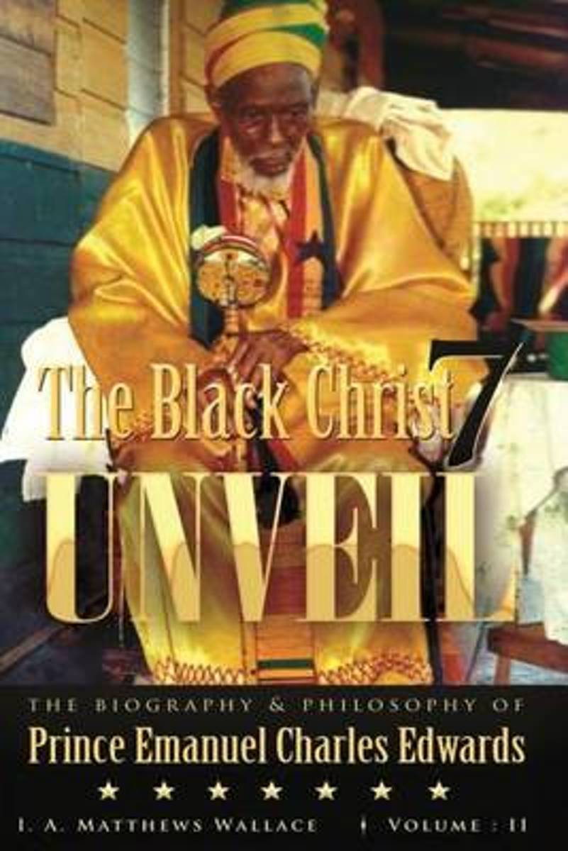
- The Black Christ 7 Unveil Volume 2
- This Prince Emmanuel Book is in Black And White.This book is about the incarnation of the Black Christ Prince Emanuel Charles Edwards. He had a difficult time in life from childhood to adult, yet he created the Ethiopia Africa Black International Congress Church of divine salvation. This congress was formed to land each and every nation under... Lire la suite
- Also available from:
- Bol.com, Belgium
Belgium
- The Black Christ 7 Unveil Volume 2
- This Prince Emmanuel Book is in Black And White.This book is about the incarnation of the Black Christ Prince Emanuel Charles Edwards. He had a difficult time in life from childhood to adult, yet he created the Ethiopia Africa Black International Congress Church of divine salvation. This congress was formed to land each and every nation under... Lire la suite
Netherlands
2018
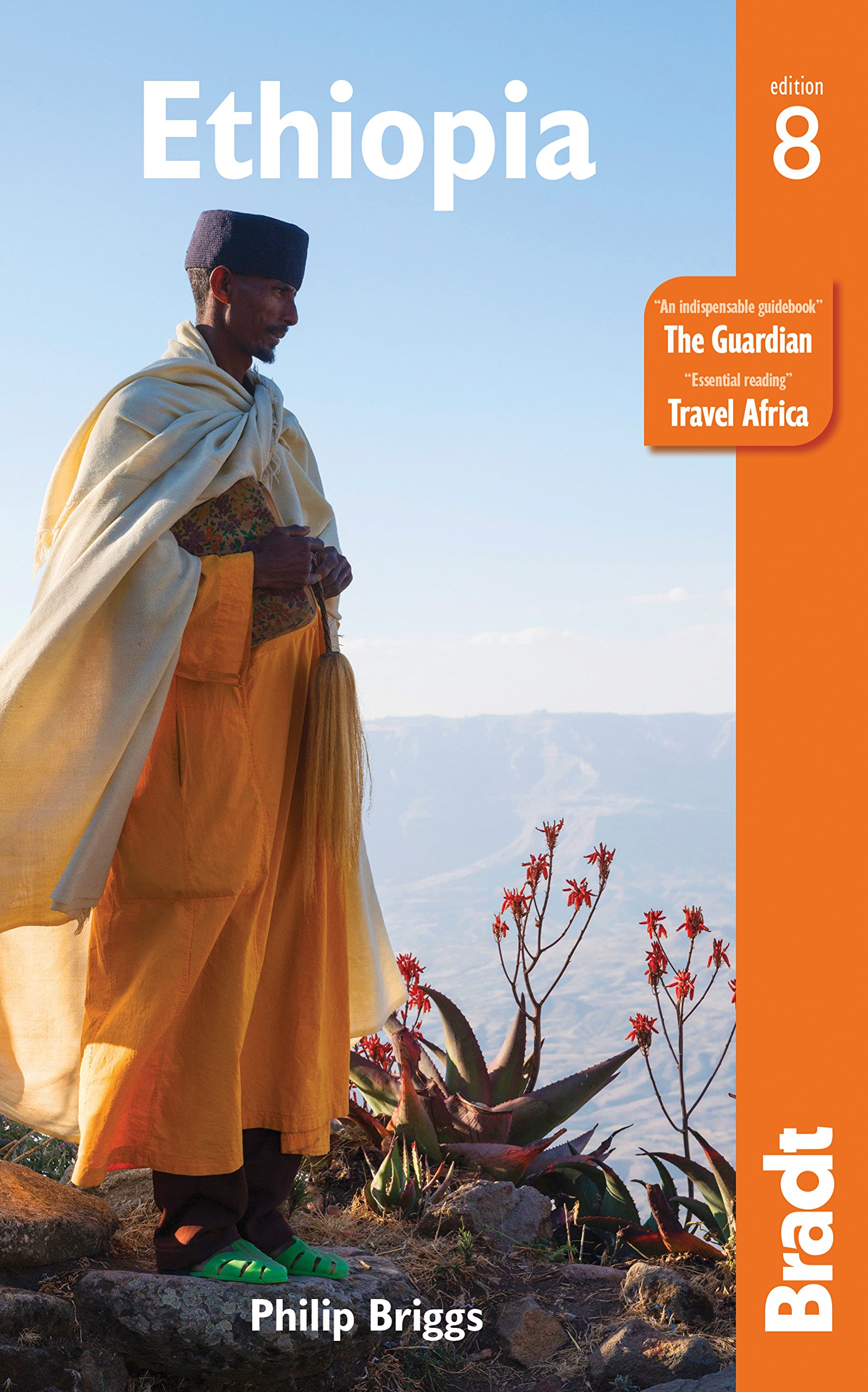
- Reisgids Ethiopia - Ethiopië | Bradt Travel Guides
- Zeer goede gids voor Ethiopië en betrouwbaar alternatief voor de Lonely Planet. Zo mogelijk nog completer! Zelfde soort informatie als de Lonely Planet: vol met praktische feiten en achtergronden. This new, fully-updated 8th edition of Bradt's Ethiopia remains the most comprehensive, detailed and thorough guide available, particularly known for... Lire la suite
Netherlands
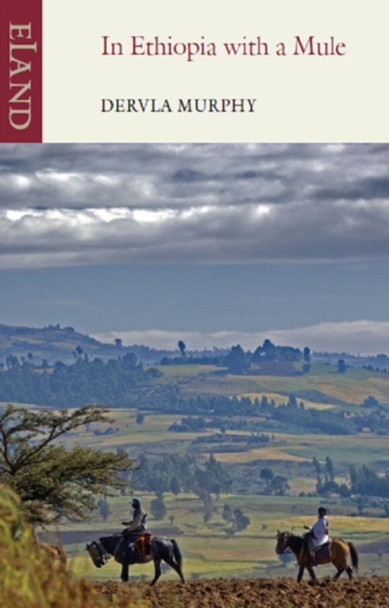
- In Ethiopia with a Mule
- Inspired by childhood stories of Prester John and the Queen of Sheba, in 1966 Dervla Murphy bought Jock, an amiable pack-mule, and set off to trek across the highlands of this awesome but troubled land. She wandered south from the Red Sea shore to Sheba"s Aksum and up onto the icy roof of Africa, the Semien mountains. From there she descended... Lire la suite
- Also available from:
- Bol.com, Belgium
Belgium
- In Ethiopia with a Mule
- Inspired by childhood stories of Prester John and the Queen of Sheba, in 1966 Dervla Murphy bought Jock, an amiable pack-mule, and set off to trek across the highlands of this awesome but troubled land. She wandered south from the Red Sea shore to Sheba"s Aksum and up onto the icy roof of Africa, the Semien mountains. From there she descended... Lire la suite
Cartes
Netherlands
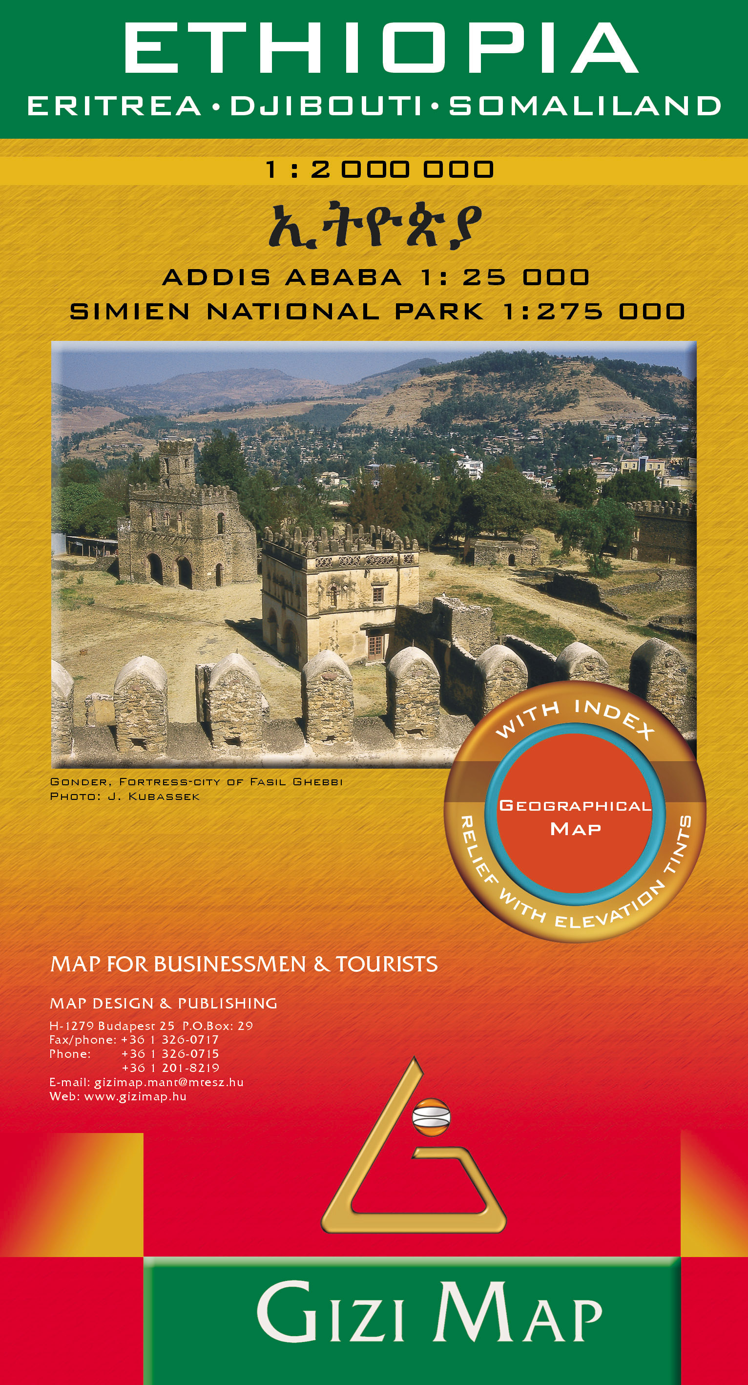
- Wegenkaart - landkaart Ethiopia - Eritrea - Djibouti - Somaliland | Gizi Map
- Ethiopia Geographical Map 1 : 2 000 000 ab 11.95 EURO Eritrea, Djibouti, Somaliland. Addis Ababa 1 : 25 000, Simien National Park 1 : 275 000. Neuauflage Lire la suite