
Ankogel
Description
- Altitude 3252.00 m
Liens
Données
Rapports
Guides et cartes
Hébergement
Organisations
Voyagistes
GPS
Autre
Livres
De Zwerver
Netherlands
2007
Netherlands
2007
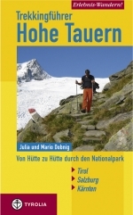
- Wandelgids Erlebnis Wandern! Trekking Hohe Tauern | Tyrolia
- Der Nationalpark Hohe Tauern bildet das größte Naturschutzgebiet Mitteleuropas. Er stellt Österreichs höchste Berggipfel, die einmalige Natur- sowie eine jahrhundertealte Kulturlandschaft unter besonderen Schutz. Die in diesem Buch erstmals vorgestellte, völlig neu konzipierte Trekkingtour eröffnet dem Wanderer die Möglichkeit, die... Lire la suite
Cartes

Stanfords
United Kingdom
United Kingdom
- Gasteinertal - Wagrain - Raurisertal - Grossarltal F&B WK191
- Gasteiner Tal - Wagrain - Grossarltal - St. Johann im Pongau - Bad Hofgastein - Bad Gastein area of the Austrian Alps presented at 1:50,000 in a series of contoured and GPS compatible outdoor leisure map from Freytag & Berndt with hiking and cycling routes, mountain huts, campsites and youth hostels, local bus stops, plus other tourist... Lire la suite
Bol.com
Netherlands
Netherlands
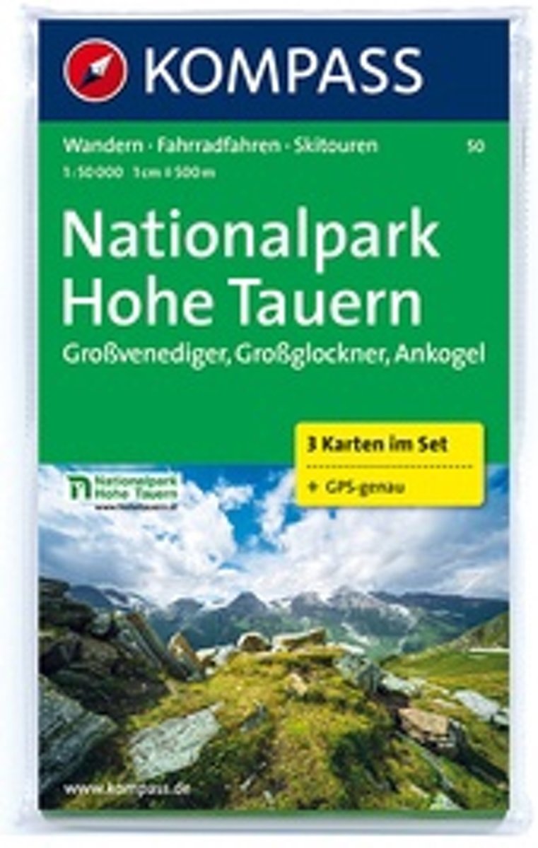
- Kompass WK50 Nationalpark Hohe Tauern
- Deze 3-deilge set Kompass wandelkaarten, schaal 1:50 000, is ideaal om uw route uit te stippelen en om onderweg te gebruiken naast de bekende bestemmingen, worden ook de minder bekende vermeld openbaar vervoer bij begin- of eindpunt van een route aangegeven eenvoudige wandelingen tot pittige (berg)tochten, voor getrainde en ongetrainde... Lire la suite
- Also available from:
- Bol.com, Belgium
Bol.com
Belgium
Belgium
- Kompass WK50 Nationalpark Hohe Tauern
- Deze 3-deilge set Kompass wandelkaarten, schaal 1:50 000, is ideaal om uw route uit te stippelen en om onderweg te gebruiken naast de bekende bestemmingen, worden ook de minder bekende vermeld openbaar vervoer bij begin- of eindpunt van een route aangegeven eenvoudige wandelingen tot pittige (berg)tochten, voor getrainde en ongetrainde... Lire la suite
Bol.com
Netherlands
Netherlands
- Nationalpark Hohe Tauern, Großvenediger, Großglockner, Ankogel 1:50 000
- KOMPASS-Wanderkarten enthalten alles Wissenswerte für Wanderer wie aktuelle Wanderwege mit Markierungen, empfehlenswerte Radrouten und wichtige touristische Informationen.Der topographische Inhalt wird bei aller Detailgenauigkeit leicht lesbar und anschaulich dargestellt.Dieses Kartenset besteht aus: . Kartenblatt Mitte: Großglockner.... Lire la suite
- Also available from:
- Bol.com, Belgium
Bol.com
Belgium
Belgium
- Nationalpark Hohe Tauern, Großvenediger, Großglockner, Ankogel 1:50 000
- KOMPASS-Wanderkarten enthalten alles Wissenswerte für Wanderer wie aktuelle Wanderwege mit Markierungen, empfehlenswerte Radrouten und wichtige touristische Informationen.Der topographische Inhalt wird bei aller Detailgenauigkeit leicht lesbar und anschaulich dargestellt.Dieses Kartenset besteht aus: . Kartenblatt Mitte: Großglockner.... Lire la suite

Stanfords
United Kingdom
United Kingdom
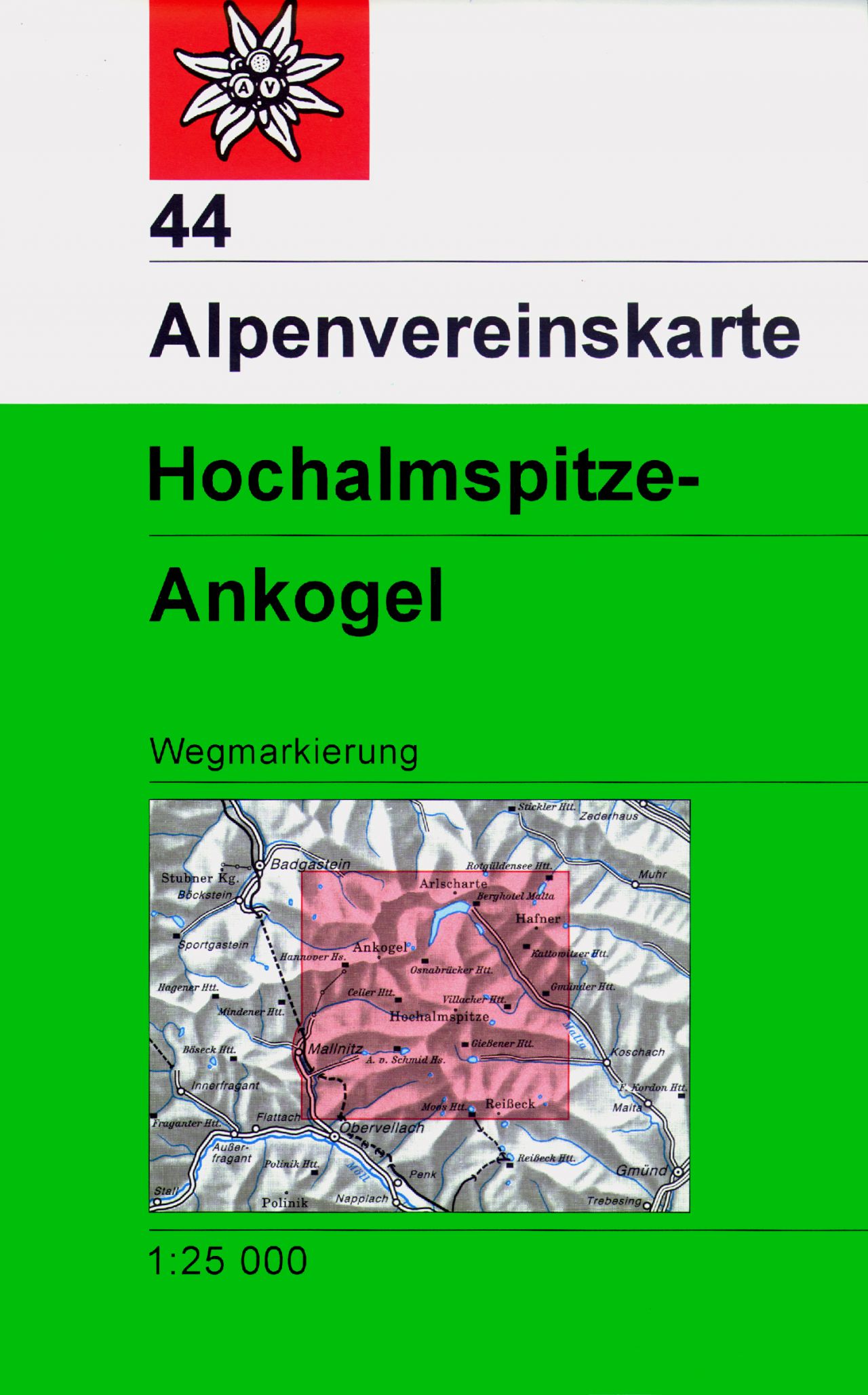
- Hochalmspitze - Ankogel Alpenverein Map 44
- Hochalmspitze - Ankogel area of the Alps in a combined hiking and ski edition at 1:25,000 from a series of detailed, GPS compatible maps published by the DAV - Deutscher Alpenverein and produced by the German and Austrian Alpine Clubs using cartography from their respective survey organizations. Maps in this series have topography vividly... Lire la suite
- Also available from:
- De Zwerver, Netherlands
De Zwerver
Netherlands
Netherlands
- Wandelkaart 44 Alpenvereinskarte Hochalmspitze - Ankogel | Alpenverein
- Hochalmspitze - Ankogel area of the Alps in a combined hiking and ski edition at 1:25,000 from a series of detailed, GPS compatible maps published by the DAV - Deutscher Alpenverein and produced by the German and Austrian Alpine Clubs using cartography from their respective survey organizations. Maps in this series have topography vividly... Lire la suite