
Loire
Description
France's longest river.
Liens
Données
Rapports
Guides et cartes
Hébergement
Organisations
Voyagistes
GPS
Autre
Livres

Stanfords
United Kingdom
2019
United Kingdom
2019
- La Loire à pied
- La Loire à pied, FFRP topo-guide ref. no. D042, one of the titles in an extensive series of light, A5-size, high quality paperback guides published by the Fédération Française de la Randonnée Pédestre in association with local authorities, ramblers’ clubs, etc. The guides have *colour extracts from the French topographic survey at 1:25,000 or... Lire la suite
Stanfords
United Kingdom
2019
United Kingdom
2019
- Mézenc - meygal et haute vallee de le Loire
- Le Pays de la Loire Sauvage et du Mézenc à pied, FFRP topo-guide Ref. No.P435, with 26 day walks of varying length and difficulty in the region south-east of Le Puy-en-Velay. Each walk is presented on a separate colour extract from IGN’s topographic survey of France at 1:25,000, with its description cross-referenced to the map. Current edition... Lire la suite

Stanfords
United Kingdom
United Kingdom
- Rick Steves Best of France (Third Edition)
- Hit France`s can`t-miss art, sights, and bites in two weeks or less with Rick Steves Best of France! Inside you`ll find:Strategic advice from Rick Steves on what`s worth your time and moneyShort itineraries covering the best of Paris, Normandy, the Loire, Dordogne, Provence, the French Riviera, and Burgundy, including Versailles, Nice, the... Lire la suite

Stanfords
United Kingdom
United Kingdom
- Les Marches du Velay à pied FFRP Topo-guide No. P43D
- Les Marches du Velay à pied, FFRP topo-guide Ref. No. P43D, with 21 day walks of varying length and difficulty near Monistril-sur-Loire. Each walk is presented on a separate colour extract from IGN’s topographic survey of France at 1:25,000, with its description cross-referenced to the map. Current edition of this title was published in May... Lire la suite

Stanfords
United Kingdom
2007
United Kingdom
2007
- Le Centre: Val de Loire à pied FFRP Topo-guide No. RE11
- Le Centre: Val de Loire à pied, FFRP topo-guide ref. no. RE08, one of the titles in an extensive series of light, A5-size, high quality paperback guides published by the Fédération Française de la Randonnée Pédestre in association with local authorities, ramblers’ clubs, etc. The guides have *colour extracts from the French topographic survey... Lire la suite
Stanfords
United Kingdom
2018
United Kingdom
2018
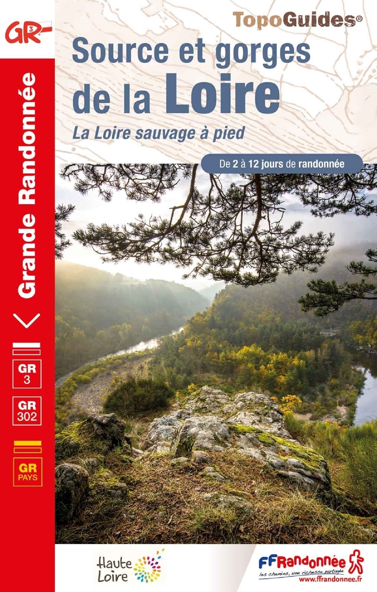
- Les Gorges de la Loire à pied
- Les Gorges de la Loire à pied, FFRP topo-guide Ref. No.P425, with 15 day walks of varying length and difficulty east of St-Etienne. The guide also includes a 28km long circuit along both banks of the river. Each walk is presented on a separate colour extract from IGN’s topographic survey of France at 1:25,000, with its description... Lire la suite

Stanfords
United Kingdom
2011
United Kingdom
2011
- Le Parc de Millevaches en Limousin à pied FFRP Topo-guide No. PN17
- Le Parc de Millevaches en Limousin à pied, topo-guide Ref. No. PN017, with 18 day walks of varying length and difficulty, plus 270kms of hiking circuits in the department of Creuse. Current edition of this title was published in March 2011.To see the list of other FFRP guides with day walks please click on the series link.ABOUT THE FFRP... Lire la suite
Stanfords
United Kingdom
United Kingdom
- Le Pays de Charlieu-Belmont à pied P423
- Le Pays de Belmont-de-la-Loire à pied, FFRP topo-guide ref. no. P423, with 16 day walks of varying length and difficult near Belmont-de-la-Loire . Current edition of this title was published in May 2008.To see the list of other FFRP guides with day walks please click on the series link.ABOUT THE FFRP (Fédération française de la randonnée... Lire la suite

Stanfords
United Kingdom
United Kingdom
- Amboise - Montlouis-sur-Loire IGN 1922SB
- Topographic survey of France at 1:25,000 in IGN`s excellent TOP25 / Série Bleue series. All the maps are GPS compatible, with a 1km UTM grid plus latitude and longitude lines at 5’ intervals. Contours are at 5m intervals except for mountainous areas where the maps have contours at 10m intervals, vividly enhanced by hill shading and graphics for... Lire la suite

Stanfords
United Kingdom
United Kingdom
- Chemins de St.Jacques: Cluny/Lyon - Le Puy à pied
- Chemins de St.Jacques: Cluny/Lyon-Le Puy à pied from Chamina presents the route overprinted on IGN’s 1:50,000 topographic survey with details of accommodation, local services and other tourist information.Each stage is shown on extracts from IGN`s 1:50,000 topographic survey cross-referenced to the descriptions of the route. Symbols indicate... Lire la suite

The Book Depository
United Kingdom
2021
United Kingdom
2021
- Also available from:
- De Zwerver, Netherlands
De Zwerver
Netherlands
2021
Netherlands
2021

Stanfords
United Kingdom
United Kingdom
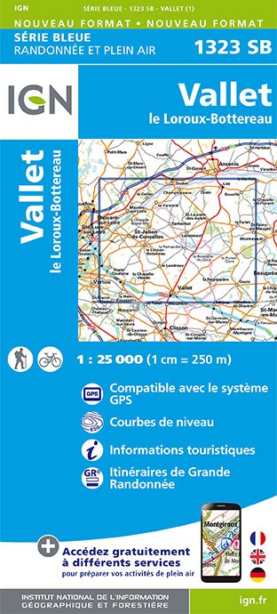
- Vallet - le Loroux-Bottereau IGN 25K Série Bleue Map 1323SB
- Topographic survey of France at 1:25,000 in IGN`s excellent TOP25 / Série Bleue series. All the maps are GPS compatible, with a 1km UTM grid plus latitude and longitude lines at 5’ intervals. Contours are at 5m intervals except for mountainous areas where the maps have contours at 10m intervals, vividly enhanced by hill shading and graphics for... Lire la suite
- Also available from:
- De Zwerver, Netherlands
De Zwerver
Netherlands
Netherlands
- Topografische kaart - Wandelkaart 1323SB Vallet | IGN - Institut Géographique National
- L'indispensable carte de randonnée IGN aux alentours de Vallet / Le Loroux-Bottereau. A conserver dans son sac à dos. Lire la suite
Bol.com
Netherlands
2016
Netherlands
2016
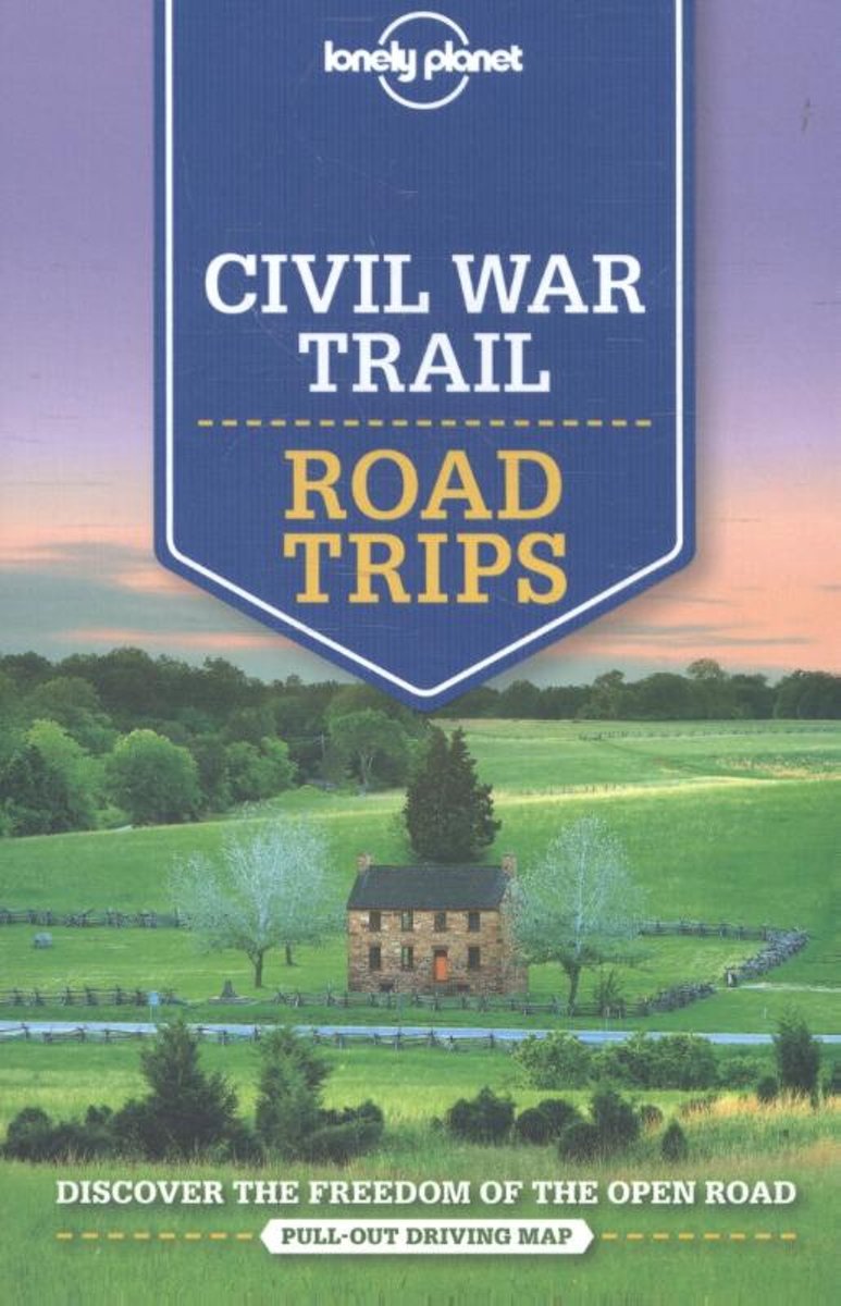
- Lonely Planet Civil War Trail Road Trips
- Lonely Planet: The world's leading travel guide publisher Whether exploring your own backyard or somewhere new, discover the freedom of the open road with Lonely Planet's Civil War Trail Road Trips. Featuring four amazing road trips, plus up-to-date advice on the destinations you'll visit along the way, you can visit Civil War battlefields... Lire la suite
- Also available from:
- Bol.com, Belgium
Bol.com
Belgium
2016
Belgium
2016
- Lonely Planet Civil War Trail Road Trips
- Lonely Planet: The world's leading travel guide publisher Whether exploring your own backyard or somewhere new, discover the freedom of the open road with Lonely Planet's Civil War Trail Road Trips. Featuring four amazing road trips, plus up-to-date advice on the destinations you'll visit along the way, you can visit Civil War battlefields... Lire la suite

Stanfords
United Kingdom
United Kingdom
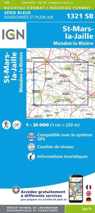
- Saint-Mars-la-Jaille - Moisdon-la-Riviere IGN 25K Série Bleue Map 1321SB
- Topographic survey of France at 1:25,000 in IGN`s excellent TOP25 / Série Bleue series. All the maps are GPS compatible, with a 1km UTM grid plus latitude and longitude lines at 5’ intervals. Contours are at 5m intervals except for mountainous areas where the maps have contours at 10m intervals, vividly enhanced by hill shading and graphics for... Lire la suite
- Also available from:
- De Zwerver, Netherlands
De Zwerver
Netherlands
Netherlands
- Wandelkaart - Topografische kaart 1321SB Saint-Mars-la-Jaille - Moisdon-la-Rivière | IGN - Institut Géographique National
- L'indispensable carte de randonnée IGN aux alentours de St-Mars-la-Jaille - Moisdon-la-Rivière. A conserver dans son sac à dos. Lire la suite

Bol.com
Netherlands
Netherlands
- Loire Travel Guide
- The Loire Valley is famous for its impressive chateaus and wines in its well-known towns that include Orleans, Tours, Chartres and Bourges. Two of the largest and most beautiful examples of French châteaus are Chambord and Chenonceau. To preserve the history and tradition these two châteaus have been bought by the French government and open... Lire la suite
- Also available from:
- Bol.com, Belgium
Bol.com
Belgium
Belgium
- Loire Travel Guide
- The Loire Valley is famous for its impressive chateaus and wines in its well-known towns that include Orleans, Tours, Chartres and Bourges. Two of the largest and most beautiful examples of French châteaus are Chambord and Chenonceau. To preserve the history and tradition these two châteaus have been bought by the French government and open... Lire la suite
Cartes

Stanfords
United Kingdom
United Kingdom
- Chatillon-sur-Indre - Ecueille IGN 2024SB
- Topographic survey of France at 1:25,000 in IGN`s excellent TOP25 / Série Bleue series. All the maps are GPS compatible, with a 1km UTM grid plus latitude and longitude lines at 5’ intervals. Contours are at 5m intervals except for mountainous areas where the maps have contours at 10m intervals, vividly enhanced by hill shading and graphics for... Lire la suite

Stanfords
United Kingdom
United Kingdom
- Illiers-Combray - Bailleau-le-Pin IGN 25K Série Bleue Map 2017SB
- Topographic survey of France at 1:25,000 in IGN`s excellent TOP25 / Série Bleue series. All the maps are GPS compatible, with a 1km UTM grid plus latitude and longitude lines at 5’ intervals. Contours are at 5m intervals except for mountainous areas where the maps have contours at 10m intervals, vividly enhanced by hill shading and graphics for... Lire la suite

Stanfords
United Kingdom
United Kingdom
- Forêt de Fontainebleau - Forêt des Trois Pignons IGN WATERPROOF 2417OTR
- Topographic survey of France at 1:25,000 in IGN`s excellent TOP25 / Série Bleue series. All the maps are GPS compatible, with a 1km UTM grid plus latitude and longitude lines at 5’ intervals. Contours are at 5m intervals except for mountainous areas where the maps have contours at 10m intervals, vividly enhanced by hill shading and graphics for... Lire la suite

Stanfords
United Kingdom
United Kingdom
- Romorantin-Lanthenay - Cour-Cheverny IGN 2122SB
- Topographic survey of France at 1:25,000 in IGN`s excellent TOP25 / Série Bleue series. All the maps are GPS compatible, with a 1km UTM grid plus latitude and longitude lines at 5’ intervals. Contours are at 5m intervals except for mountainous areas where the maps have contours at 10m intervals, vividly enhanced by hill shading and graphics for... Lire la suite

Stanfords
United Kingdom
United Kingdom
- Châteauroux - Levroux - Villedieu-sur-Indre IGN 25K Série Bleue Map 2125SB
- Topographic survey of France at 1:25,000 in IGN`s excellent TOP25 / Série Bleue series. All the maps are GPS compatible, with a 1km UTM grid plus latitude and longitude lines at 5’ intervals. Contours are at 5m intervals except for mountainous areas where the maps have contours at 10m intervals, vividly enhanced by hill shading and graphics for... Lire la suite

Stanfords
United Kingdom
United Kingdom
- Montrichard - St-Aignan IGN 2023SB
- Topographic survey of France at 1:25,000 in IGN`s excellent TOP25 / Série Bleue series. All the maps are GPS compatible, with a 1km UTM grid plus latitude and longitude lines at 5’ intervals. Contours are at 5m intervals except for mountainous areas where the maps have contours at 10m intervals, vividly enhanced by hill shading and graphics for... Lire la suite

Stanfords
United Kingdom
United Kingdom
- Forêt de Fontainebleau - Forêt des Trois Pignons IGN 2417OT
- Topographic survey of France at 1:25,000 in IGN`s excellent TOP25 / Série Bleue series. All the maps are GPS compatible, with a 1km UTM grid plus latitude and longitude lines at 5’ intervals. Contours are at 5m intervals except for mountainous areas where the maps have contours at 10m intervals, vividly enhanced by hill shading and graphics for... Lire la suite


Stanfords
United Kingdom
United Kingdom
- Luçay-le-Male - Poulaines IGN 2124SB
- Topographic survey of France at 1:25,000 in IGN`s excellent TOP25 / Série Bleue series. All the maps are GPS compatible, with a 1km UTM grid plus latitude and longitude lines at 5’ intervals. Contours are at 5m intervals except for mountainous areas where the maps have contours at 10m intervals, vividly enhanced by hill shading and graphics for... Lire la suite

Stanfords
United Kingdom
United Kingdom
- France Chamina Edition Greenways and Cycle Routes Atlas
- Guarantee of quality and reliability, the Atlas France of greenways & cycle routes Chamina is enriched this year by more than 1,000 km of cycle route: 2 new cycle routes (The Flow Vélo and the EuroVelo 4 - Tour de Manche) , as well as the updating of the extensive routes such as the ViaRhôna, the Vélo Francette, the EuroVelo 6 and the... Lire la suite

Stanfords
United Kingdom
United Kingdom
- Loire Cycle Route: Nevers to the Atlantic (690km) Bikeline Map/Guide
- Loire Cycle Route, a 690-km long stretch of the EuroVelo6 route along the Loire from Nevers in Burgundy to the Atlantic, presented by the Verlag Esterbauer in a guide with maps at 1:50,000 showing the route and its variants. Extensive information is conveyed by symbols, indicating road surface, campsites and other accommodation, repair... Lire la suite

Stanfords
United Kingdom
United Kingdom
- Fôrets d`Orléans: Massif d`Ingrannes IGN TOP25 Map 2319OT
- Topographic survey of France at 1:25,000 in IGN`s excellent TOP25 / Série Bleue series. All the maps are GPS compatible, with a 1km UTM grid plus latitude and longitude lines at 5’ intervals. Contours are at 5m intervals except for mountainous areas where the maps have contours at 10m intervals, vividly enhanced by hill shading and graphics for... Lire la suite

Stanfords
United Kingdom
United Kingdom
- Vivonne - Lusignan IGN 1728SB
- Topographic survey of France at 1:25,000 in IGN`s excellent TOP25 / Série Bleue series. All the maps are GPS compatible, with a 1km UTM grid plus latitude and longitude lines at 5’ intervals. Contours are at 5m intervals except for mountainous areas where the maps have contours at 10m intervals, vividly enhanced by hill shading and graphics for... Lire la suite

Stanfords
United Kingdom
United Kingdom
- St-Gaultier - Rosnay IGN 2026SB
- Topographic survey of France at 1:25,000 in IGN`s excellent TOP25 / Série Bleue series. All the maps are GPS compatible, with a 1km UTM grid plus latitude and longitude lines at 5’ intervals. Contours are at 5m intervals except for mountainous areas where the maps have contours at 10m intervals, vividly enhanced by hill shading and graphics for... Lire la suite

Stanfords
United Kingdom
United Kingdom
- Pays de la Loire IGN Regional NR07
- IGN publishes its new collection of regional maps including the official division of the 13 new regions. The largest regions are well represented on a single map. These maps are double sided and in 6 languages. Lire la suite