
GR65 - Via Podiensis
Description
- Name GR65 - Via Podiensis (GR65)
- Distance de sentier 740 km, 460 milles
- Durée en jours 30 jours
- Début de sentier Le Puy-en-Velay
- Fin de sentier Ostabat
- Classement Traildino MW, Marche modérée, sentier de randonnée
- Classement Traversée de montagne T1, Randonnée


 Via Podiensis, Le Puy-en-Velay - Ostabat, 740 km, 30 days
GR65, Geneva - Le Puy-en-Velay - Ostabat, 1090 km, 44 days
The Via Podiensis is one of the main pilgrim ways in France. The start is in Le Puy-en-Velay, and for about a month, pilgrims walk southwest till they hit the Pyrenees in Ostabat, Basque Country. The trail is very attractive, taking in some of the best parts of France, like the Causse, the Aubrac plateau, the volcanoes of Velay. The trail is also dotted with many churches, old towns and other monuments. Not surprisingly, this route is one of the most popular and busy pilgrim ways in France.
The walking association FFRP did a great job to mark the whole way white-red, and describe it in a topoguide. As a bonus, an extra itinerary between Geneva and Le Puy - the Via Gebennensis - has been added to the GR65. The GR65 continues into Spain, where it is better known as Camino Francés.
Did you know that the European Long Distance Trail E3 follows practically the same itinerary between Santiago de Compostela and Le Puy? It diverges in Le Puy from the GR65 and heads north.
Visit Traildino's overview page for the Way of Saint James / Camino de Santiago.
Carte


Liens
Données
Rapports
Guides et cartes
Hébergement
Organisations
Voyagistes
GPS
Autre
Livres

United Kingdom
2022
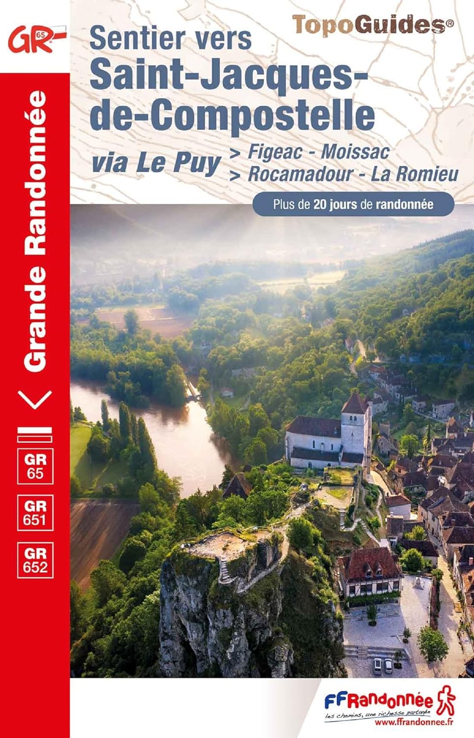
- Camino de Santiago - Via Podiensis
- Le Puy to the Pyrenees on the GR65 Lire la suite
- Also available from:
- De Zwerver, Netherlands

Netherlands
2022
- Wandelgids Camino de Santiago - Via Podiensis GR65 | Cicerone
- Le Puy to the Pyrenees on the GR65 Lire la suite

- Also available from:
- De Zwerver, Netherlands


Netherlands
2022
Netherlands
2019
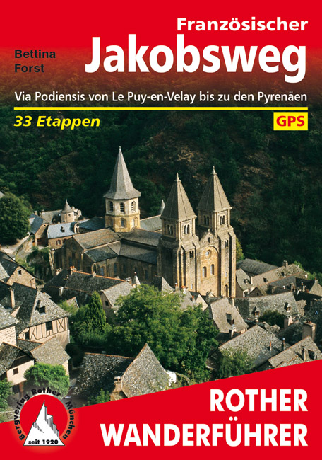
- Wandelgids - Pelgrimsroute 253 Französischer Jakobsweg GR65 | Rother Bergverlag
- Via Podiensis von Le Puy-en-Velay bis zu den Pyrenäen. 33 Etappen Rother Wanderführer. 4., aktualisierte Auflage. Lire la suite

Netherlands
2013
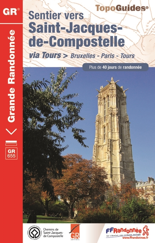
- Wandelgids 6551 Sentier vers Saint-Jacques-de-Compostela: Brussel - Parijs -Tours GR655 | FFRP
- Guide FFRandonnée Sentier vers Saint-Jacques-de-Compostelle : Bruxelles-Paris-Tours - 6551.La via Turonensis (ou voie de Tours/voie de Paris) est l'un des quatre chemins de France du pèlerinage de Saint-Jacques-de-Compostelle, le plus au nord. Voie la plus sereine et la plus ancienne, elle était historiquement la plus fréquentée.Au départ de... Lire la suite

Netherlands
2023

Netherlands
2015
- Wandelgids 6543 Sentier vers Saint-Jacques-de-Compostelle via Vezelay : Périgueux - Roncevaux - GR654 | FFRP
- Guide FFRandonnée Sentier vers St-Jacques-de-Compostelle : Périgueux-Ronceveaux. GR 654. Voie de Vézelay vers Compostelle : suite de l'itinéraire décrit dans le topo-guide réf. 6542 'Sentier vers St-Jacques-de-Compostelle : Vézelay-Périgueux'.Passé le seuil du Périgord blanc,... Lire la suite

Netherlands
2018
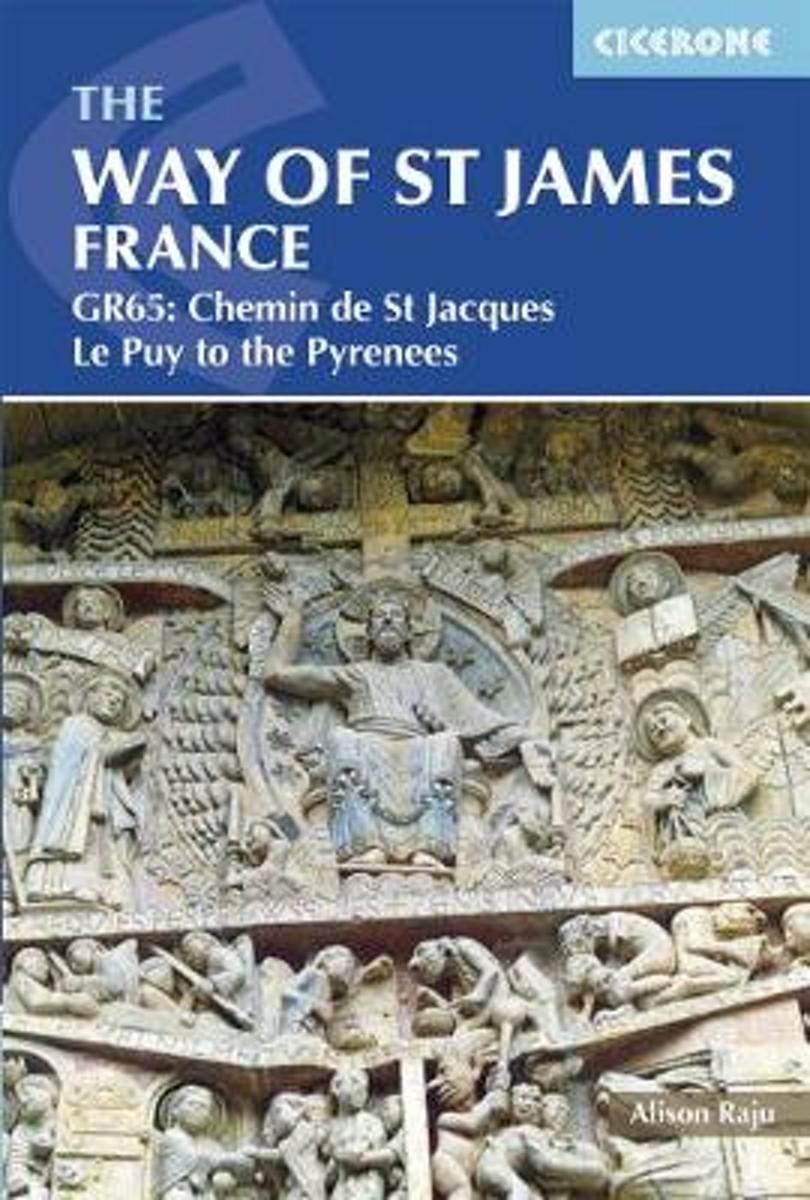
- The Way of St James - Le Puy to the Pyrenees
- This comprehensive guidebook describes the Way of St James (Camino de Santiago) pilgrim route through France. Also known as the Chemin de St Jacques or GR65, the 730km (454 mile) route runs from Le Puy-en-Velay in central France to Saint-Jean-Pied-de-Port in the Pyrenees. People have been walking it as a pilgrimage route for over 1000 years,... Lire la suite
- Also available from:
- Bol.com, Belgium
Belgium
2018
- The Way of St James - Le Puy to the Pyrenees
- This comprehensive guidebook describes the Way of St James (Camino de Santiago) pilgrim route through France. Also known as the Chemin de St Jacques or GR65, the 730km (454 mile) route runs from Le Puy-en-Velay in central France to Saint-Jean-Pied-de-Port in the Pyrenees. People have been walking it as a pilgrimage route for over 1000 years,... Lire la suite


Netherlands
2014
- Wandelgids - Pelgrimsroute 6531 Sentier vers Saint-Jacques-de-Compostelle : Montgenèvre - Arles GR653D | FFRP
- Guide FFRandonnée Sentier vers Saint-Jacques-de-Compostelle : Montgenèvre - Arles - GR 653D - 459 km de sentiers GR. La Voie d'Arles. Un chemin incontournable, à la fois itinéraire jacquaire et ancienne voie romaine, qui vous fera découvrir 4 départements aux paysages contrastés et au... Lire la suite

Cartes

Netherlands
2020
- Wandelatlas - Pelgrimsroute (kaart) 161 Chemins de Compostelle GR65 | Michelin
- Véritable petit atlas détaillant chaque étape avec indications précises concernant les villes de départ et d'arrivée ainsi que pour les localités traversées (auberges, refuges, restaurants, pharmacies, gare, épiceries, Km parcourus, Km restants....).Ce petit atlas suit le chemin du... Lire la suite