
Ammergauer Alpen
Description

The Ammergauer Alpen is a lesser known area on the north side of the Alps. The area forms the border between Austria and Germany. Three quarters of the region is located in Germany, and has been declared a protected nature reserve. To the west lies the popular and well known Allgäuer Alps. And on the eastern side you will find the Bayerische Voralpen and Wettersteingebirge. The south side borders to the Lechtal in Austria.
The area is accessible from the towns of Füssen (familiar sound for tourists traveling to and from Austria) and Oberammergau.
Like other parts of the Northern Alps, the rock formations are of a limestone type, mainly Dolomite. Barren ridges rise from the steep wooded valleys. These ridges are generally easy to walk, and steep passages are secured with cables etc. Popular with hikers is the Hochplatten-Tegelberg-Gruppe. Daniel is the highest mountain, 2340 m. Klammspitze (1985 m) is an other popular summit. The huts are usually open until november, often even longer.
A long distance trail through the Ammergauer Alps is the E4, which in fact coincides with the Maximiliansweg.
Carte


Sentiers de cette région
Liens
Données
Rapports
Guides et cartes
Hébergement
Organisations
Voyagistes
GPS
Autre
Livres
Netherlands
2018
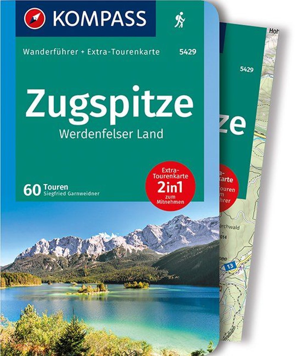
- Zugspitze - Werdenfelser Land
- Die KOMPASS Wanderführer bieten neben spannenden Destinationen und tollen Wandertourenauch viele praktische Tipps und Zusatzinformationen wie z. Bsp. Sehenswürdigkeiten oder Einkehrmöglichkeiten.Alle Touren sind von den jeweiligen Autoren selbst erwandert und enthalten detaillierte Angaben zu Schwierigkeitsgrad, Höhenmetern und Gehzeit.De... Lire la suite
- Also available from:
- Bol.com, Belgium
Belgium
2018
- Zugspitze - Werdenfelser Land
- Die KOMPASS Wanderführer bieten neben spannenden Destinationen und tollen Wandertourenauch viele praktische Tipps und Zusatzinformationen wie z. Bsp. Sehenswürdigkeiten oder Einkehrmöglichkeiten.Alle Touren sind von den jeweiligen Autoren selbst erwandert und enthalten detaillierte Angaben zu Schwierigkeitsgrad, Höhenmetern und Gehzeit.De... Lire la suite

United Kingdom
2015
- Crete High Mountain Walks, the White Mountains, Mt Ida and Lassithi - 3rd ed.
- The High Mountains of Crete is Loraine Wilson’s authoritative Cicerone guide to the best walking routes in Crete’s mountainous regions. The guide covers walks in the well-known Samaria Gorge and the other dramatic gorges and numerous peaks rising to over 2100m, alongside high mountain plains, forested crags, massive cliffs and remote beaches.... Lire la suite
- Also available from:
- The Book Depository, United Kingdom
- Bol.com, Netherlands
- Bol.com, Belgium
- De Zwerver, Netherlands

United Kingdom
2015
- The High Mountains of Crete
- The White Mountains, Psiloritis and Lassithi Mountains Lire la suite

Netherlands
2015
- The high mountains of Crete
- Guidebook to walking and trekking the high mountains of Crete. The largest of the Greek Islands, Crete's mountains provide breathtaking walking and wilderness on this popular island. The routes in this guidebook are graded for difficulty and range from short, easy strolls to challenging, multi-day treks, providing options for all walkers. In... Lire la suite
Belgium
2015
- The high mountains of Crete
- Guidebook to walking and trekking the high mountains of Crete. The largest of the Greek Islands, Crete's mountains provide breathtaking walking and wilderness on this popular island. The routes in this guidebook are graded for difficulty and range from short, easy strolls to challenging, multi-day treks, providing options for all walkers. In... Lire la suite

Netherlands
2015
- Wandelgids The high mountains of Crete - Kreta | Cicerone
- Guidebook of walking routes in Crete's mountains, covering the Lefka Ori (White Mountains), Mount Ida (the Psiloritis range), the Lassithi mountains and E4 trail. Each of the 87 walks is graded, in a range between 2 and 28km with various longer options, covering a multitude of terrains from rugged mountain ridges to forested crags and beaches. Lire la suite


Netherlands
2007
- Wandelgids Across the eastern alps: E5 | Cicerone
- From Lake Constance in Germany, this guidebook describes walking the E5 trek that runs 600km through a remarkable kaleidoscope of landscapes and culture in Switzerland, Austria and Italy, to its destination at Verona. It traverses the Allgauer, Lechtaler and Ötztaler Alps. There is a good network of alpine refuges and guesthouses on the route. Lire la suite

Netherlands
- Hiking in Switzerland
- This is the official guidebook to the Swiss section of the Via Alpina (National Route 1), published by the Swiss Hiking Federation. The Via Alpina is a network of five long-distance hiking routes which cross eight Alpine countries from Trieste to Monaco - over 5,000 kilometres of hiking trails in total. On Swiss soil, National Route 1 Via... Lire la suite
- Also available from:
- Bol.com, Belgium
Belgium
- Hiking in Switzerland
- This is the official guidebook to the Swiss section of the Via Alpina (National Route 1), published by the Swiss Hiking Federation. The Via Alpina is a network of five long-distance hiking routes which cross eight Alpine countries from Trieste to Monaco - over 5,000 kilometres of hiking trails in total. On Swiss soil, National Route 1 Via... Lire la suite

United Kingdom
2017
- The Swiss Alpine Pass Route - via Alpina Route 1: Trekking East to West Across Switzerland
- This guidebook presents the stunning Alpine Pass Route, now fully waymarked as Via Alpina 1. The 360km trail traverses Switzerland from east to west, from Sargans near the Liechtenstein border to Montreux on Lac Leman (Lake Geneva). Crossing sixteen Alpine passes, it showcases some of the country`s most breathtaking mountain landscapes,... Lire la suite
- Also available from:
- Bol.com, Netherlands
- Bol.com, Belgium

Netherlands
2017
- The Swiss alpine pass route - Via Alpina route 1
- This guidebook presents the stunning Alpine Pass Route, now fully waymarked as Via Alpina 1. The 360km trail traverses Switzerland from east to west, from Sargans near the Liechtenstein border to Montreux on Lac Léman (Lake Geneva). Crossing sixteen Alpine passes, it showcases some of the country's most breathtaking mountain landscapes,... Lire la suite
Belgium
2017
- The Swiss alpine pass route - Via Alpina route 1
- This guidebook presents the stunning Alpine Pass Route, now fully waymarked as Via Alpina 1. The 360km trail traverses Switzerland from east to west, from Sargans near the Liechtenstein border to Montreux on Lac Léman (Lake Geneva). Crossing sixteen Alpine passes, it showcases some of the country's most breathtaking mountain landscapes,... Lire la suite

Netherlands
- Over the Top & Back Again
- Book of the Year Bronze Award 2010 (travel essays category), ForeWord Magazine After hiking some of the world's great trails, Brandon Wilson was excited to hear about the Via Alpina, paths running across eight countries on the backbone of the Alps. Besides promising immersion into Alpine life and wilderness, it was the ultimate adventure. It... Lire la suite
- Also available from:
- Bol.com, Belgium
Belgium
- Over the Top & Back Again
- Book of the Year Bronze Award 2010 (travel essays category), ForeWord Magazine After hiking some of the world's great trails, Brandon Wilson was excited to hear about the Via Alpina, paths running across eight countries on the backbone of the Alps. Besides promising immersion into Alpine life and wilderness, it was the ultimate adventure. It... Lire la suite


Netherlands
2015
- Fernwanderweg E5
- Der E5 zeigt auf den 600 km vom Bodensee quer ber die Alpen nach Verona viele Gesichter: saftige Wiesen, felsige berg nge, m chtige Gletscher und mediterranes Flair. Lire la suite
- Also available from:
- Bol.com, Belgium
- De Zwerver, Netherlands
Belgium
2015
- Fernwanderweg E5
- Der E5 zeigt auf den 600 km vom Bodensee quer ber die Alpen nach Verona viele Gesichter: saftige Wiesen, felsige berg nge, m chtige Gletscher und mediterranes Flair. Lire la suite

Netherlands
2024
- Wandelgids Fernwanderweg E5 | Rother Bergverlag
- Duitstalige wandelgids met zeer goed beschreven wandelroutes die aan elkaar de Europese LAW E5 vormen. Redelijk kaartmateriaal, vooral de beschrijving van de route en de praktische info die er bij hoort is goed. Der Europäische Fernwanderweg E5 überquert die Alpen in Nord-Süd-Richtung auf etwa 600 km Länge. Überwiegend gut markiert führt er von... Lire la suite
Netherlands
2018
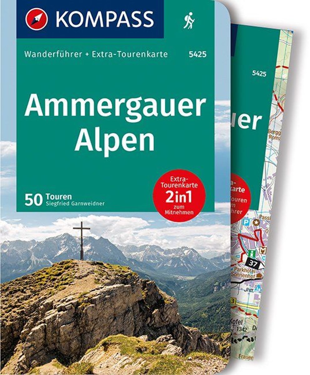
- Ammergauer Alpen
- Destination. Geprägt ist das Ammergebirge von tiefen Wäldern, markanten Gipfelhöhen, eindrucksvollen Königsschlössern und einer Fülle von beliebten und still gebliebenen Wanderwegen. Es breitet sich nördlich von Reutte, Ehrwald und dem Werdenfelser Land aus. Im Süden ist es von den Lechtaler Alpen und dem Wettersteingebirge begrenzt, nach... Lire la suite
- Also available from:
- Bol.com, Belgium
Belgium
2018
- Ammergauer Alpen
- Destination. Geprägt ist das Ammergebirge von tiefen Wäldern, markanten Gipfelhöhen, eindrucksvollen Königsschlössern und einer Fülle von beliebten und still gebliebenen Wanderwegen. Es breitet sich nördlich von Reutte, Ehrwald und dem Werdenfelser Land aus. Im Süden ist es von den Lechtaler Alpen und dem Wettersteingebirge begrenzt, nach... Lire la suite

Netherlands
- Over the Top & Back Again
- Book of the Year Bronze Award 2010 (travel essays category), ForeWord Magazine After hiking some of the world's great trails, Brandon Wilson was excited to hear about the Via Alpina, paths running across eight countries on the backbone of the Alps. Besides promising immersion into Alpine life and wilderness, it was the ultimate adventure. It... Lire la suite
- Also available from:
- Bol.com, Belgium
Belgium
- Over the Top & Back Again
- Book of the Year Bronze Award 2010 (travel essays category), ForeWord Magazine After hiking some of the world's great trails, Brandon Wilson was excited to hear about the Via Alpina, paths running across eight countries on the backbone of the Alps. Besides promising immersion into Alpine life and wilderness, it was the ultimate adventure. It... Lire la suite

Netherlands
2022

Netherlands
- WF5421 Allgäu, Allgäuer Alpen Kompass
- De Kompass wandelgids + kaart geeft een overzicht van alle wandelroutes in het gebied met nauwkeurige routeaanwijzingen en hoogteaanduidingen, De extra grote kaart, schaal 1:35 000, is ideaal om van te voren uw route uit te stippelen en om onderweg te gebruiken • naast de bekende bestemmingen, worden ook de minder bekende vermeld • openbaar... Lire la suite
- Also available from:
- Bol.com, Belgium
Belgium
- WF5421 Allgäu, Allgäuer Alpen Kompass
- De Kompass wandelgids + kaart geeft een overzicht van alle wandelroutes in het gebied met nauwkeurige routeaanwijzingen en hoogteaanduidingen, De extra grote kaart, schaal 1:35 000, is ideaal om van te voren uw route uit te stippelen en om onderweg te gebruiken • naast de bekende bestemmingen, worden ook de minder bekende vermeld • openbaar... Lire la suite

Netherlands
2017
- Griechenland: Trans Kreta E4
- Kein Geheimtipp und dennoch etwas in Vergessenheit geraten ist das ber 500 km lange Teilst ck des europ ischen Fernwanderweges E4 auf Kreta. Bereits seit den 1970er-Jahren geh rt dieser Abschnitt zu einem der beliebtesten des l ngsten europ ischen Fernwanderweges und ist somit ein echter Trekkingklassiker.Wer gut markierte Pfade und verl... Lire la suite
- Also available from:
- Bol.com, Belgium
- De Zwerver, Netherlands
Belgium
2017
- Griechenland: Trans Kreta E4
- Kein Geheimtipp und dennoch etwas in Vergessenheit geraten ist das ber 500 km lange Teilst ck des europ ischen Fernwanderweges E4 auf Kreta. Bereits seit den 1970er-Jahren geh rt dieser Abschnitt zu einem der beliebtesten des l ngsten europ ischen Fernwanderweges und ist somit ein echter Trekkingklassiker.Wer gut markierte Pfade und verl... Lire la suite

Netherlands
2017
- Wandelgids E4 Kreta Lefka Ori und Lasithi | Conrad Stein Verlag
- OutdoorHandbuch. 3. Auflage. Lire la suite
Netherlands
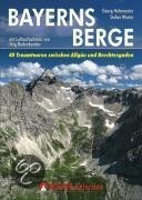
- Bayerns Berge
- Warum in die Ferne schweifen und eine weite Anreise in die Zentralalpen in Kauf nehmen, wenn das Gute so nahe liegt? Der bayerische Alpenbogen zwischen Allgäu und Berchtesgaden - die Allgäuer Alpen, die Ammergauer Alpen, das Wettersteingebirge, die Bayerischen Voralpen mit Estergebirge, Walchenseebergen, Benediktenwandgruppe und... Lire la suite
- Also available from:
- Bol.com, Belgium
Belgium
- Bayerns Berge
- Warum in die Ferne schweifen und eine weite Anreise in die Zentralalpen in Kauf nehmen, wenn das Gute so nahe liegt? Der bayerische Alpenbogen zwischen Allgäu und Berchtesgaden - die Allgäuer Alpen, die Ammergauer Alpen, das Wettersteingebirge, die Bayerischen Voralpen mit Estergebirge, Walchenseebergen, Benediktenwandgruppe und... Lire la suite
Cartes

United Kingdom
- Styrian Winelands - Southwest Styria F&B WK411
- Styrian Winelands area south-eastern Austria presented at 1:50,000 in a series of contoured and GPS compatible outdoor leisure map from Freytag & Berndt with hiking and cycling routes, mountain huts, campsites and youth hostels, local bus stops, plus other tourist information. To see the list of currently available titles in this series please... Lire la suite

United Kingdom
- Goms - Aletsch
- Goms - Aletsch area of the Bernese Oberland at 1:50,000 in a series from Hallwag covering Switzerland’s popular hiking regions on light, waterproof and tear-resistant maps highlighting long-distance paths: the nine national routes plus special regional routes, as well as other local hiking trails.Cartography is similar to that used both in... Lire la suite

United Kingdom
- E4 Arquipelago de Cabo Verde
- Plans included:Porto Novo (Ilha de Santo Antão) (1:10 000)Mindelo (Porto Grande) (Ilha de São Vicente) (1:20 000)Ilha de Santa Luzia (1:not known)Porto de Tarrafal (Ilha de São Nicolau) (1:8500)Porto da Preguiça (Ilha de São Nicolau) (1:8500)Baía da Palmeira (Ilha do Sal) (1:15 000)Porto de Sal-Rei (Ilha da Boavista) (1:30 000)Porto da Praia... Lire la suite

United Kingdom
- Lake Maggiore - Lake Orta - Lake Varese K+F Outdoor Map 8
- Lake Maggiore - Lake Orta - Lake Varese area at 1:50,000 in a series of waterproof and tear-resistant, GPS compatible and contoured recreational maps from Kümmerly + Frey with both local and long-distance hiking and cycling trails, ski routes, sites for other outdoor pursuits, accommodation, bus stops, etc. An inset provides a small road map of... Lire la suite

United Kingdom
- Peloponnese Anavasi Road Atlas
- Road Atlas of the Peloponnese from Anavasi, in an A4 paperback format, with contoured, GPS compatible mapping at 1:50,000, very detailed road classification, hiking paths, and place names in both Greek and Latin alphabets.The main section of the atlas has 178 pages of detailed maps with contours at 100m intervals, altitude colouring and relief... Lire la suite

United Kingdom
- Lake Como K+F Outdoor Map 9
- Lake Como area at 1:50,000 on a double-sided, waterproof and tear-resistant, GPS compatible and contoured recreational maps from Kümmerly + Frey with both local and long-distance hiking and cycling trails, ski routes, sites for other outdoor pursuits, accommodation, bus stops, etc. Coverage includes the northern part of Lake Lugano and extends... Lire la suite

United Kingdom
- Ammergebirge West - Hochplatte - Kreuzspitze Alpenverein BY6
- Ammergebirge West - Hochplatte - Kreuzspitze, map No. BY 6, in a series of highly detailed, GPS compatible hiking maps at 1:25,000 of the German Alps, published by the Deutscher Alpenverein, the German Alpine Club, with cartography of the German topographic survey from the Bavarian state survey organization. The maps use the survey’s excellent... Lire la suite

United Kingdom
- Taygetos - North Taygetos Anavasi 8.1
- The Taygetos range between Sparta and Kalamata at 1:50,000 on a contoured, GPS compatible map from Anavasi with on the reverse a special map highlighting the region’s numerous hiking trails, including the course of the E4 European long-distance path.On one side is the main map of the area with excellent presentation of its topography by... Lire la suite

United Kingdom
- Greece: Attika and Central Greece Road Atlas
- Road Atlas of Attika, the region around Athens, and Central Greece from Anavasi, in an A4 paperback format, with contoured mapping at 1:50,000, a 2km UTM grid for GPS users, very detailed road classification, hiking paths, and place names in both Greek and Latin alphabets.The main section of the atlas has 219 pages of detailed maps with... Lire la suite

United Kingdom
- Heidiland - UNESCO Tectonic Arena Sardona 50K K+F Hiking Map No. 33
- Heidiland, including the Swiss Tectonic Arena Sardona – a UNESCO World Heritage Site, at 1:50,000 in Kümmerly + Frey’s hiking series of Switzerland printed on light, waterproof and tear-resistant plastic paper. Coverage includes Walensee, Flumserberg, Pizol, Weisstannental, Sarganserland and Taminatal. Hiking trails highlighted on the map... Lire la suite
United Kingdom
- Adelboden - Lenk
- Adelboden - Lenk area of the western Bernese Oberland, from Gstaad to Frutigen and Leukerbad at 1:50,000 in a series from Hallwag covering Switzerland’s popular hiking regions on light, waterproof and tear-resistant maps highlighting long-distance paths: the nine national routes plus special regional routes, as well as other local hiking... Lire la suite
United Kingdom
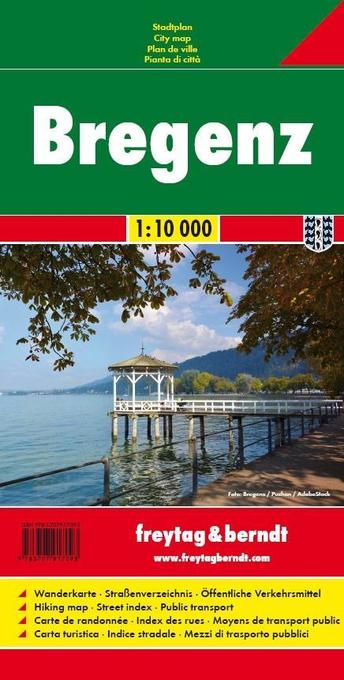
- Bregenz F&B
- Indexed street plan of Bregenz extending north along the Bodensee coast to Lochau and Unter Hochsteg. Detail includes pedestrianised areas, railways, bus routes and cycle paths. Notable buildings are highlighted in red, and symbols indicate post offices, hostels, campsites and car parks.On the reverse is a 1:50,000 contoured map of the... Lire la suite

United Kingdom
- Pfaffenwinkel - Northern Ammergau Alps UK50-49
- Pfaffenwinkel - Northern Ammergau Alps, map no. 50-49 covering an area around Weilheim, Schongau, Staffelsee, Kochelsee and Walchensee, in a series of special contoured and GP-compatible recreational maps from the Bavarian state survey organization, with cartography of the German topographic survey at 1:50,000 and extensive additional tourist... Lire la suite
United Kingdom
- Haslital: Grindelwald - Engelberg 50K Hallwag Outdoor Map No. 5
- Haslital area, from Grindelwald to Engelberg, at 1:50,000 in a series from Hallwag covering Switzerland’s popular hiking regions on light, waterproof and tear-resistant maps highlighting long-distance paths: the nine national routes plus special regional routes, as well as other local hiking trails.Cartography is similar to that used both in... Lire la suite

United Kingdom
- Transrhodopi - Long distance hiking and biking trail From Trigrad to Ivaylovgrad
- Western Rhodope Mountains at 1:100,000 on a contoured GPS compatible map from Domino extending from just west of the Pirin National Park to Asenovgrad in the north-east. The map is double-sided with a good overlap between the sides. Topography is shown by contours at 50m intervals with relief shading and spot heights, plus colouring for... Lire la suite