
Hessen
Description
Sentiers de cette état
- Aar HöhenwegGPX
- AlemannenwegGPX
- Badener Weg
- Barbarossaweg GPX
- BonifatiuswegGPX
- BorgmannwegGPX
- Burgenweg Bergstrasse
- Burgundenweg
- BurgwaldpfadGPX
- Diemelsteig
- E1GPX
- E6GPX
- E8GPX
- Eder HöhenwegGPX
- ElisabethpfadGPX
- EselswegGPX
- Frankenweg Odenwald
- Frankfurter GrünGürtel Rundwanderweg
- Frau HollepfadGPX
- Fränkischer Rotwein WanderwegGPX
- FuldahöhenwegGPX
- HansawegGPX
- HerkuluswegGPX
- Hessenweg 1GPX
- Hessenweg 10GPX
- Hessenweg 11GPX
- Hessenweg 2GPX
- Hessenweg 3GPX
- Hessenweg 4GPX
- Hessenweg 5GPX
- Hessenweg 6GPX
- Hessenweg 7GPX
- Hessenweg 8GPX
- Hessenweg 9GPX
- KellerwaldsteigGPX
- Lahn Dill BerglandpfadGPX
- LöwenwegGPX
- LulluspfadGPX
- MärchenlandwegGPX
- RheinburgenwegGPX
- Rheingauer Riesling Routen
- RheinhöhenwegGPX
- RheinsteigGPX
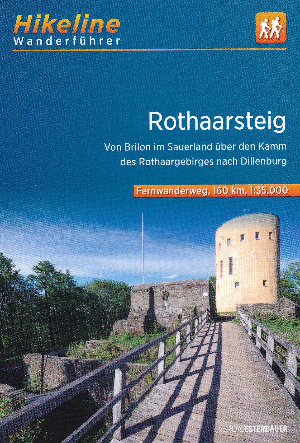
- RothaarsteigGPX
- SchinderhannespfadGPX
- StudentenpfadGPX
- Taunus HöhenwegGPX
- Taunus-Rhön-WegGPX
- UplandsteigGPX
- Urwaldsteig EderseeGPX
- Vogelsberger Vulkansteig
- Vulkanring VogelsbergGPX
- Wanderweg der Deutschen EinheitGPX
- WesterwaldsteigGPX
- WildbahnGPX
Liens
Données
Rapports
Guides et cartes
Hébergement
Organisations
Voyagistes
GPS
Autre
Livres

Stanfords
United Kingdom
United Kingdom
- Rhön Kompass 2-Map Set 460
- Rhön region of central Germany, straddling the borders between Bavaria, Hesse and Thuringia, in a set of two detailed, contoured and GPS compatible maps at 1:50,000 from Kompass with local and long-distance footpaths, cycling routes, accommodation, etc.KOMPASS HIKING & RECREATIONAL MAPS: this title is part of an extensive series covering... Lire la suite

Stanfords
United Kingdom
United Kingdom
- Spessart North - Bad Orb - Steinau - Burgsinn 35K Kümmerly + Frey Map No. 49
- Spessart North - Bad Orb - Steinau – Burgsinn area of Germany at 1:35,000 from Kümmerly+Frey in a series GPS compatible, double-sided maps printed on durable, waterproof and tear-resistant plastic paper; contoured, with hiking and cycle routes, other recreational activities, etc.Maps in this series are at a scale of either 1:50,000 or 1:35,000.... Lire la suite

Stanfords
United Kingdom
United Kingdom
- Istria Kompass 238
- Istria at 1:75,000 on a double-sided, waterproof and tear-resistant, detailed contoured map from Kompass, with hiking and cycling routes, street plans of 10 main towns, plus tourist information. Coverage extends north beyond the Croatian border to include Trieste and the coast of Slovenia. Contours at 50m intervals and spot heights present the... Lire la suite
Bol.com
Netherlands
2019
Netherlands
2019
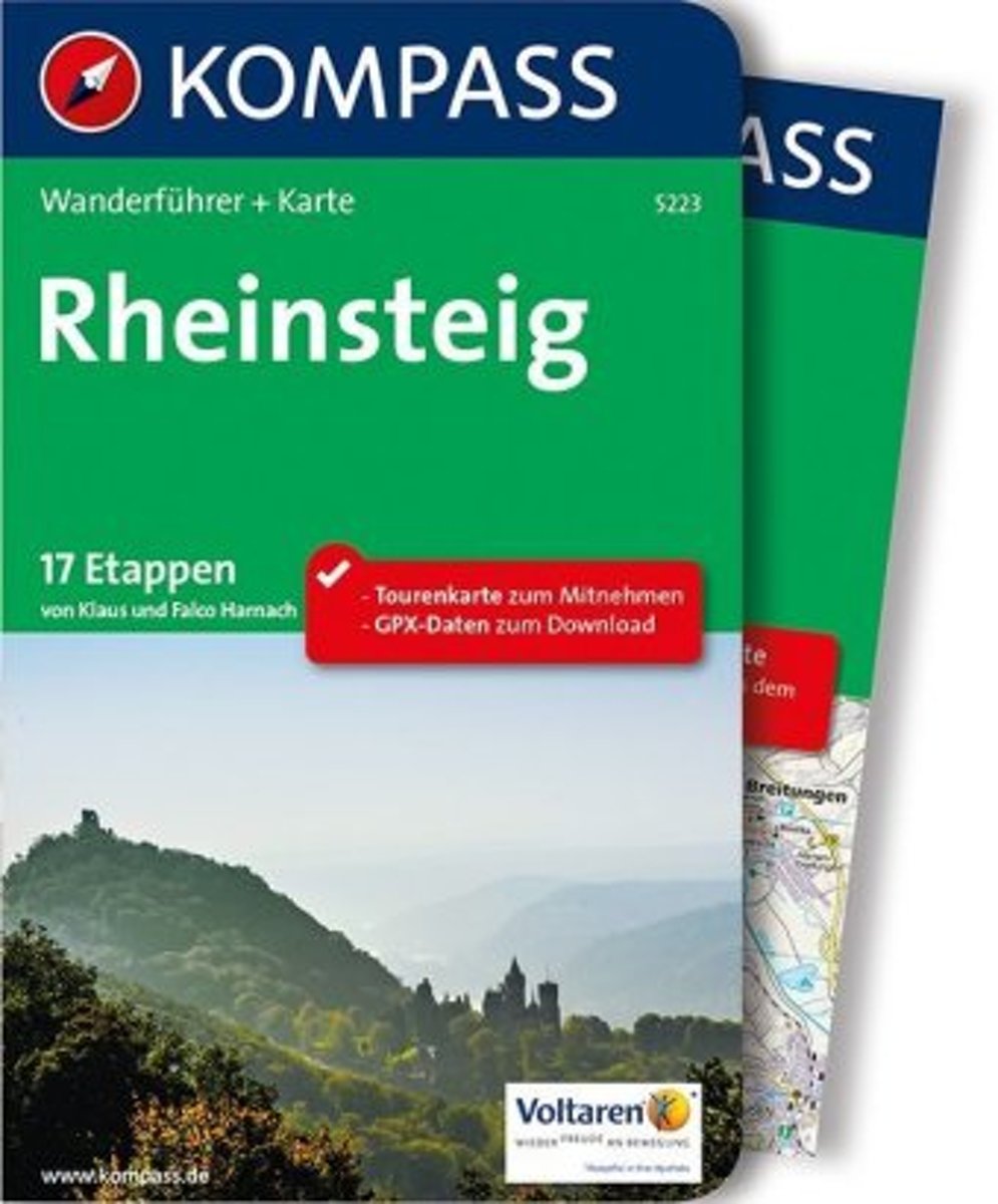
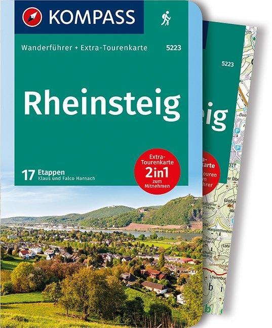
- WF5223 Rheinsteig Kompass
- De Kompass wandelgids + kaart geeft een overzicht van alle wandelroutes in het gebied met nauwkeurige routeaanwijzingen en hoogteaanduidingen, De extra grote kaart, schaal 1:35 000, is ideaal om van te voren uw route uit te stippelen en om onderweg te gebruiken • naast de bekende bestemmingen, worden ook de minder bekende vermeld • openbaar... Lire la suite
- Also available from:
- Bol.com, Belgium
- De Zwerver, Netherlands
Bol.com
Belgium
2019
Belgium
2019
- WF5223 Rheinsteig Kompass
- De Kompass wandelgids + kaart geeft een overzicht van alle wandelroutes in het gebied met nauwkeurige routeaanwijzingen en hoogteaanduidingen, De extra grote kaart, schaal 1:35 000, is ideaal om van te voren uw route uit te stippelen en om onderweg te gebruiken • naast de bekende bestemmingen, worden ook de minder bekende vermeld • openbaar... Lire la suite
De Zwerver
Netherlands
2019
Netherlands
2019
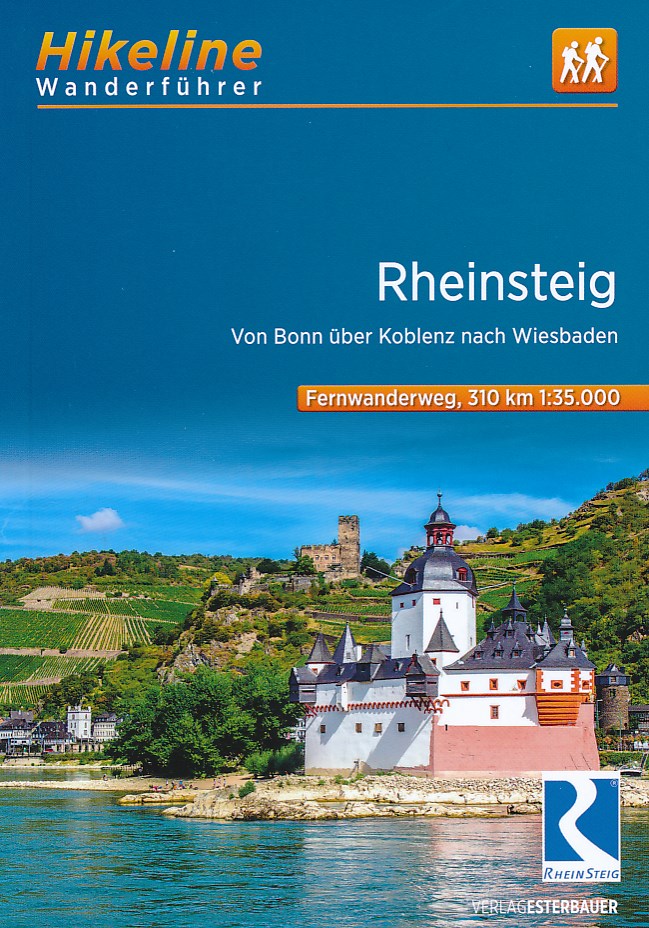
- Wandelgids 5223 Wanderführer Rheinsteig - Siebengebirge, Rheinisches Schiefergebirge, Taunus, Rheingau. | Kompass
- Wanderführer mit Extra Tourenkarte zum Mitnehmen. Lire la suite
De Zwerver
Netherlands
2022
Netherlands
2022
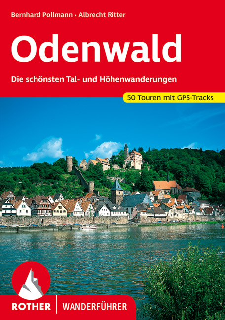
- Wandelgids Odenwald | Rother Bergverlag
- Uitstekende wandelgids met een groot aantal dagtochten in dal en hooggebergte. Met praktische informatie en beperkt kaartmateriaal! Wandelingen in verschillende zwaarte weergegeven in rood/blauw/zwart. Der Odenwald, der von der Bergstraße, dem Neckar und dem Main begrenzt wird, bietet einen reichen Schatz an Natur und Kultur. Neben den... Lire la suite
De Zwerver
Netherlands
2021
Netherlands
2021
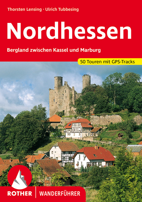
- Wandelgids Nordhessen | Rother Bergverlag
- Uitstekende wandelgids met een groot aantal dagtochten in dal en hooggebergte. Met praktische informatie en beperkt kaartmateriaal! Wandelingen in verschillende zwaarte weergegeven in rood/blauw/zwart. Im Herzen Deutschlands gelegen bildet das nordhessische Bergland zwischen Kassel und Marburg auf dem historischen Territorium des ehemaligen... Lire la suite
Bol.com
Netherlands
2019
Netherlands
2019
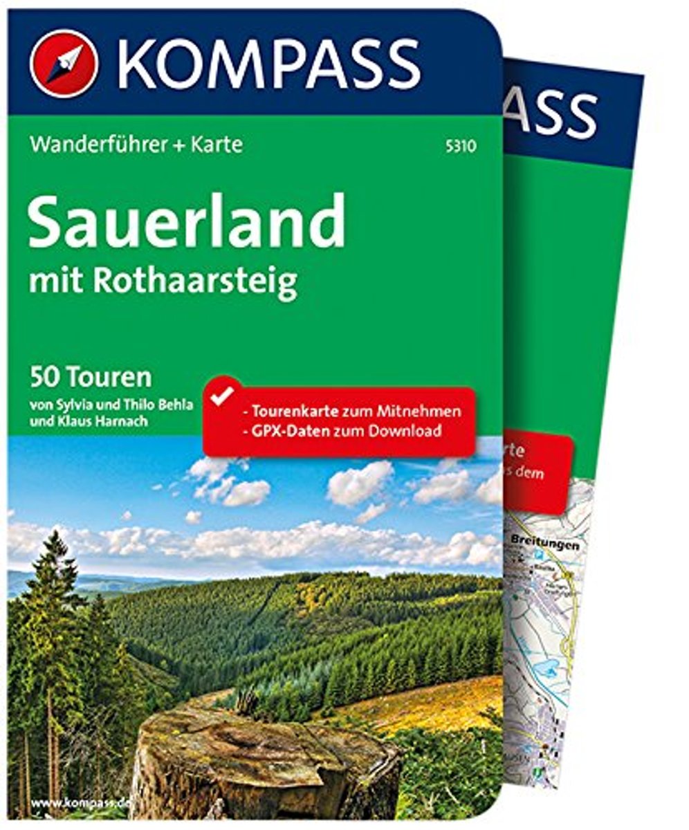
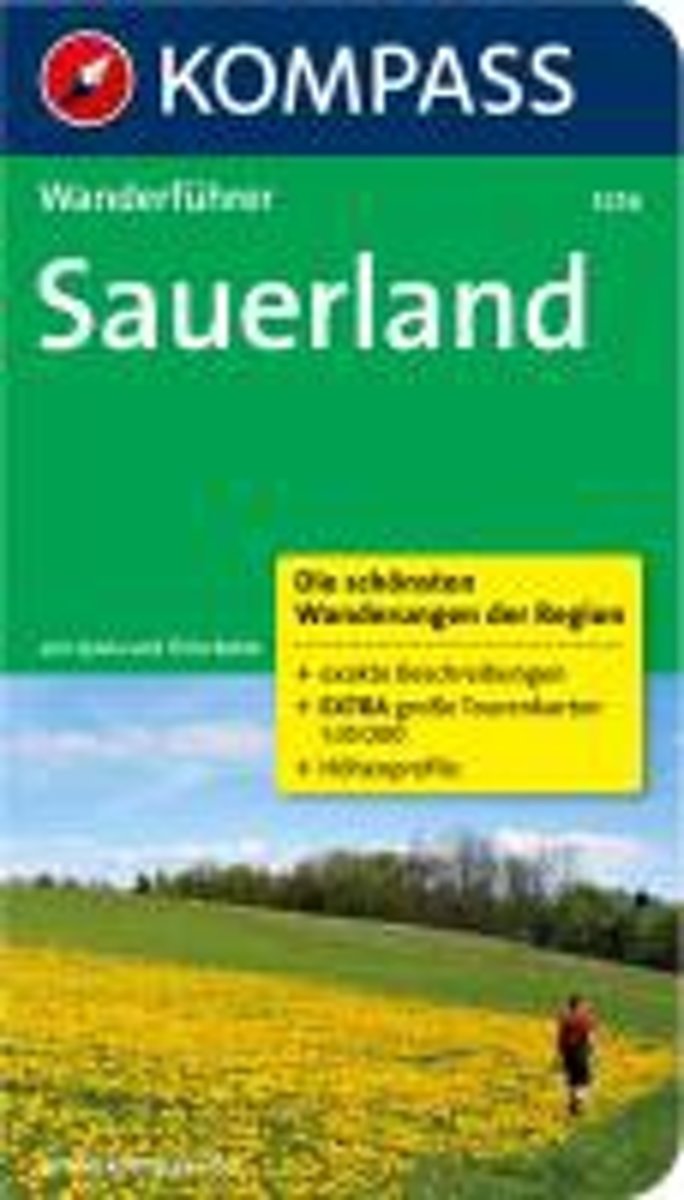
- WF5310 Sauerland Kompass
- De Kompass wandelgids + kaart geeft een overzicht van alle wandelroutes in het gebied met nauwkeurige routeaanwijzingen en hoogteaanduidingen. De extra grote kaart, schaal 1:35 000, is ideaal om van te voren uw route uit te stippelen en om onderweg te gebruiken • naast de bekende bestemmingen, worden ook de minder bekende vermeld • openbaar... Lire la suite
- Also available from:
- Bol.com, Belgium
Bol.com
Belgium
2019
Belgium
2019
- WF5310 Sauerland Kompass
- De Kompass wandelgids + kaart geeft een overzicht van alle wandelroutes in het gebied met nauwkeurige routeaanwijzingen en hoogteaanduidingen. De extra grote kaart, schaal 1:35 000, is ideaal om van te voren uw route uit te stippelen en om onderweg te gebruiken • naast de bekende bestemmingen, worden ook de minder bekende vermeld • openbaar... Lire la suite
Bol.com
Netherlands
2013
Netherlands
2013
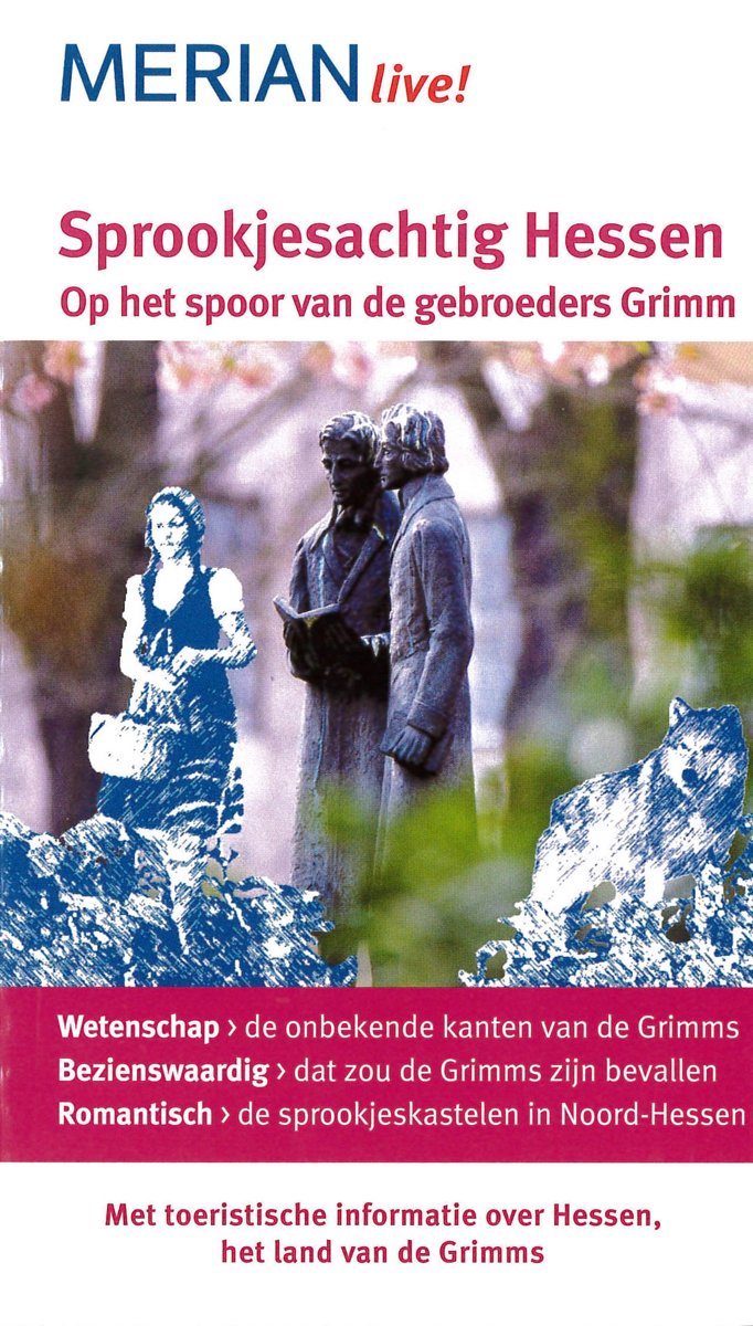
- Sprookjesachtig Hessen
- 2013 is het Grimm-Jaar! Fans van de beroemde gebroeders Grimm kunnen aan de hand van deze reisgids hun levenswandel volgen. De reis gaat van Hanau waar het geboortehuis van Jakob en Wilhelm Grimm stond, via Kassel, Marburg en G ttingen tot aan de tijd in Frankfurt in de revolutie-jaren 1848/49.Aantrekkelijke suggesties voor uitstapjes en tips... Lire la suite
- Also available from:
- Bol.com, Belgium
Bol.com
Belgium
2013
Belgium
2013
- Sprookjesachtig Hessen
- 2013 is het Grimm-Jaar! Fans van de beroemde gebroeders Grimm kunnen aan de hand van deze reisgids hun levenswandel volgen. De reis gaat van Hanau waar het geboortehuis van Jakob en Wilhelm Grimm stond, via Kassel, Marburg en G ttingen tot aan de tijd in Frankfurt in de revolutie-jaren 1848/49.Aantrekkelijke suggesties voor uitstapjes en tips... Lire la suite

De Zwerver
Netherlands
2022
Netherlands
2022
Bol.com
Netherlands
Netherlands
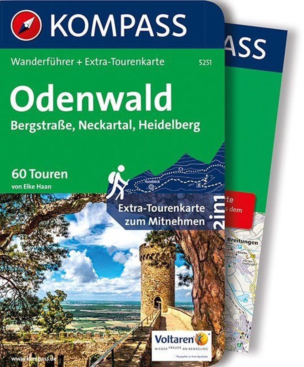
- WF5251 Odenwald Kompass
- Destination:. Der Odenwald liegt zwischen Rhein, Main und Neckar in den Bundesländern Hessen, Baden-Württembergund Bayern.. Die größten Städte sind Heidelberg im Neckartal und Darmstadt an der Bergstraße.. Der Geo-Naturpark Bergstraße-Odenwald umfasst 3500 km2 Täler, Höhen und Weinberge im hessischbayerischen Naturpark Bergstraße-Odenwald und... Lire la suite
- Also available from:
- Bol.com, Belgium
Bol.com
Belgium
Belgium
- WF5251 Odenwald Kompass
- Destination:. Der Odenwald liegt zwischen Rhein, Main und Neckar in den Bundesländern Hessen, Baden-Württembergund Bayern.. Die größten Städte sind Heidelberg im Neckartal und Darmstadt an der Bergstraße.. Der Geo-Naturpark Bergstraße-Odenwald umfasst 3500 km2 Täler, Höhen und Weinberge im hessischbayerischen Naturpark Bergstraße-Odenwald und... Lire la suite
Bol.com
Netherlands
Netherlands
- Kompas WF5256 Sauerland
- De Kompass wandelgids + kaart geeft een overzicht van alle wandelroutes in het gebied met nauwkeurige routeaanwijzingen en hoogteaanduidingen, De extra grote kaart, schaal 1:35 000, is ideaal om van te voren uw route uit te stippelen en om onderweg te gebruiken • naast de bekende bestemmingen, worden ook de minder bekende vermeld • openbaar... Lire la suite
- Also available from:
- Bol.com, Belgium
Bol.com
Belgium
Belgium
- Kompas WF5256 Sauerland
- De Kompass wandelgids + kaart geeft een overzicht van alle wandelroutes in het gebied met nauwkeurige routeaanwijzingen en hoogteaanduidingen, De extra grote kaart, schaal 1:35 000, is ideaal om van te voren uw route uit te stippelen en om onderweg te gebruiken • naast de bekende bestemmingen, worden ook de minder bekende vermeld • openbaar... Lire la suite
Bol.com
Netherlands
Netherlands
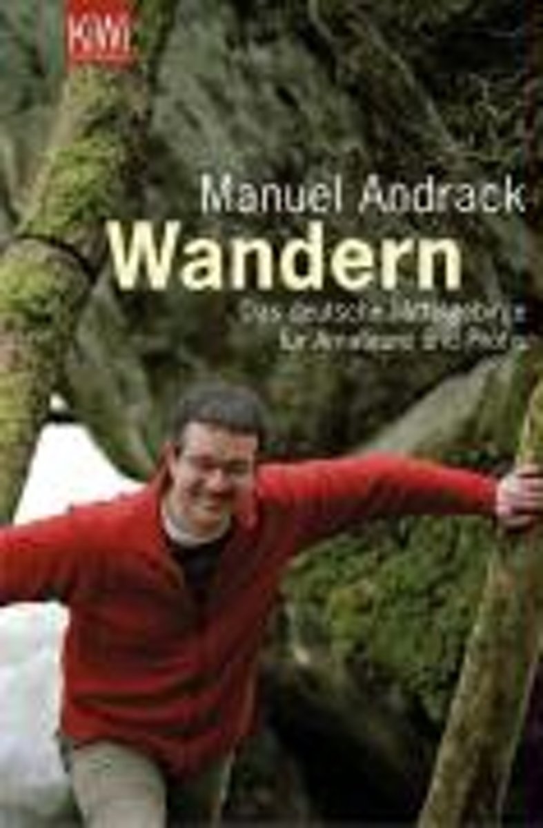
- Wandern
- In Wandern bekommen Sie das komplette deutsche Mittelgebirge und noch mehr! Mehrere 1000 Kilometer Wanderwege ziehen sich durch die deutschen Mittelgebirge. Es gibt Qualit tswege und Fernwege, Naturschutzgebiete und Nationalparks. Wer soll da noch den berblick behalten? Der 'deutsche Wanderpapst', wie ihn die internationale Wanderpresse... Lire la suite
- Also available from:
- Bol.com, Belgium
Bol.com
Belgium
Belgium
- Wandern
- In Wandern bekommen Sie das komplette deutsche Mittelgebirge und noch mehr! Mehrere 1000 Kilometer Wanderwege ziehen sich durch die deutschen Mittelgebirge. Es gibt Qualit tswege und Fernwege, Naturschutzgebiete und Nationalparks. Wer soll da noch den berblick behalten? Der 'deutsche Wanderpapst', wie ihn die internationale Wanderpresse... Lire la suite

De Zwerver
Netherlands
2022
Netherlands
2022
Cartes

Stanfords
United Kingdom
United Kingdom
- Central Rhodopes / Rodopi Geopsis 132
- Central Rhodopes Mountains on the border of north-eastern Greece and Bulgaria on a waterproof and tear-resistant, contoured and GPS compatible map from Geopsis highlighting nine recommended hiking trails and the local section of the E6 cross-Europe long-distance route. All place names are in both Greek and Latin alphabet, with several villages... Lire la suite

Stanfords
United Kingdom
United Kingdom
- Eastern Rhodopes / Rodopi Geopsis 131
- Eastern Rhodopes Mountains on the border of north-eastern Greece and Bulgaria on a waterproof and tear-resistant, contoured and GPS compatible map from Geopsis highlighting nine recommended hiking trails and the local section of the E6 cross-Europe long-distance route. All place names are in both Greek and Latin alphabet, with several villages... Lire la suite

Stanfords
United Kingdom
United Kingdom
- Western Rhodopes / Rodopi - Falakro Geopsis 133
- Central Rhodopes Mountains on the border of north-eastern Greece and Bulgaria on a waterproof and tear-resistant, contoured and GPS compatible map from Geopsis highlighting nine recommended hiking trails and the local section of the E6 cross-Europe long-distance route. All place names are in both Greek and Latin alphabet, with several villages... Lire la suite

Stanfords
United Kingdom
United Kingdom
- Istria K+F Outdoor Map
- Istria at 1:75,000 on a double-sided, durable, waterproof and tear-resistant, GPS compatible recreational map from Kümmerly + Frey, with street plans of Pula, Rovinj, Opatija, Umag, Novigrad, Porec and Vrsar. Topography is indicated by contours at 50m intervals, with relief shading and colouring for woodlands. Road network includes small local... Lire la suite

Stanfords
United Kingdom
United Kingdom
- Monte Fumaiolo - Monte Comero 18
- Map No. 18, Monte Fumaiolo - Alto Tevere, in series of contoured, GPS compatible hiking maps at 1:25,000 from the Istituto Geografico Adriatico, covering mainly the spine of the Apennines along the borders of Tuscany, Emilia-Romagna, Umbria and the Marches.Map in this series have contours at 25m intervals with additional shading and numerous... Lire la suite

Stanfords
United Kingdom
United Kingdom
- Appennino Tosco-Romagnolo East
- Map No. 135, Appennino Tosco-Romagnolo East, in a series of GPS compatible hiking maps at 1:50,000 from the Istituto Geografico Adriatico, covering parts of central Italy: eastern Tuscany, with northern Umbria and the Marches, plus the south-eastern of part of Emilia-Romagna.The maps have contours at 50m intervals with additional shading and... Lire la suite

Stanfords
United Kingdom
United Kingdom
- Transrhodopi - Long distance hiking and biking trail From Trigrad to Ivaylovgrad
- Western Rhodope Mountains at 1:100,000 on a contoured GPS compatible map from Domino extending from just west of the Pirin National Park to Asenovgrad in the north-east. The map is double-sided with a good overlap between the sides. Topography is shown by contours at 50m intervals with relief shading and spot heights, plus colouring for... Lire la suite
Stanfords
United Kingdom
United Kingdom
- Bagno di Romagna Monti Editore 19
- Map No. 19, Bagno di Romagna, in series of contoured, GPS compatible hiking maps at 1:25,000 from the Istituto Geografico Adriatico, covering mainly the spine of the Apennines along the borders of Tuscany, Emilia-Romagna, Umbria and the Marches.The maps have contours at 25m intervals with additional shading and numerous Map in this series have... Lire la suite
Stanfords
United Kingdom
United Kingdom
- Alta Val Tiberina
- Map No. 125, Alta Val Tiberina, in a series of GPS compatible hiking maps at 1:50,000 from the Istituto Geografico Adriatico, covering parts of central Italy: eastern Tuscany, with northern Umbria and the Marches, plus the south-eastern of part of Emilia-Romagna.The maps have contours at 50m intervals with additional shading and numerous spot... Lire la suite

Stanfords
United Kingdom
United Kingdom
- Rheinsteig long-distance Trail Kompass 2503
- The Rheinsteig, a 306km long-distance hiking trail from Bonn to Wiesbaden along the right bank of the Rhine, including a 65km stretch of the Middle Rhine Valley, a UNESCO World Heritage area and home to many castles, historic towns and vineyards which have inspiration for many writers, artists and composers. The route is presented on 16 panels,... Lire la suite
Stanfords
United Kingdom
United Kingdom
- Monte Carpegna - Sasso di Simone
- Map No. 16, Monte Carpegna - Sasso di Simone, in series of contoured, GPS compatible hiking maps at 1:25,000 from the Istituto Geografico Adriatico, covering mainly the spine of the Apennines along the borders of Tuscany, Emilia-Romagna, Umbria and the Marches.Map in this series have contours at 25m intervals with additional shading and... Lire la suite
Stanfords
United Kingdom
United Kingdom
- Riviera Cesenate - San Marino
- Map No. 128, Riviera Cesenate - San Marino, in a series of GPS compatible hiking maps at 1:50,000 from the Istituto Geografico Adriatico, covering parts of central Italy: eastern Tuscany, with northern Umbria and the Marches, plus the south-eastern of part of Emilia-Romagna.The maps have contours at 50m intervals with additional shading and... Lire la suite

Stanfords
United Kingdom
United Kingdom
- Monti Sibillini National Park Edizioni Multigraphic 60/61
- Monti Sibillini National Park at 1:25,000 on a double-sided contoured map from Edizioni Multigraphic highlighting local waymarked hiking routes including the GAS – Grand Anello dei Sibilini, the circular tour around the mountains.The map has contours at 25m intervals with colouring for woodlands. Waymarked routes are highlighted and annotated... Lire la suite

Stanfords
United Kingdom
United Kingdom
- Foreste Casentinesi NP Monti Editore 20
- Map No. 20, Foreste Casentinesi: Campigna, Camaldoli, Chiusi dell Verna, in series of contoured, GPS compatible hiking maps at 1:25,000 from the Istituto Geografico Adriatico, covering mainly the spine of the Apennines along the borders of Tuscany, Emilia-Romagna, Umbria and the Marches.Map in this series have contours at 25m intervals with... Lire la suite
Stanfords
United Kingdom
United Kingdom
- Alta Val Marecchia
- Map No. 126, Alta Val Marecchia, in a series of GPS compatible hiking maps at 1:50,000 from the Istituto Geografico Adriatico, covering parts of central Italy: eastern Tuscany, with northern Umbria and the Marches, plus the south-eastern of part of Emilia-Romagna.The maps have contours at 50m intervals with additional shading and numerous spot... Lire la suite