Waterford
Description

County Waterford has a pleasant landscape of rolling hills and rich with trees. It borders on Ireland’s south coast. It has some hill areas too: the Knockmealdown Mountains and the Comeragh Mountains. The East Munster Way runs from west to east through Waterford.
Sentiers de cette état
Liens
Données
Rapports
Guides et cartes
Hébergement
Organisations
Voyagistes
GPS
Autre
Livres

Stanfords
United Kingdom
United Kingdom
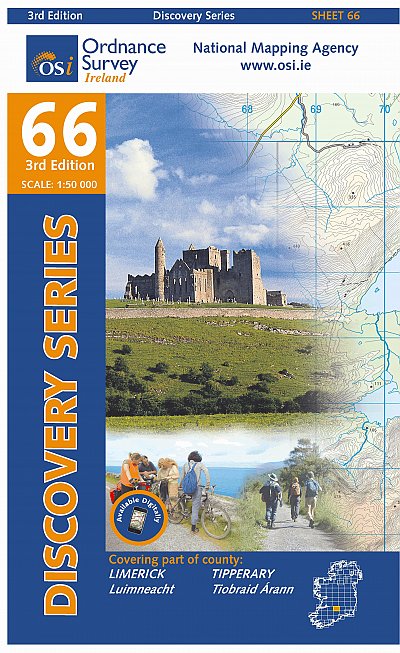
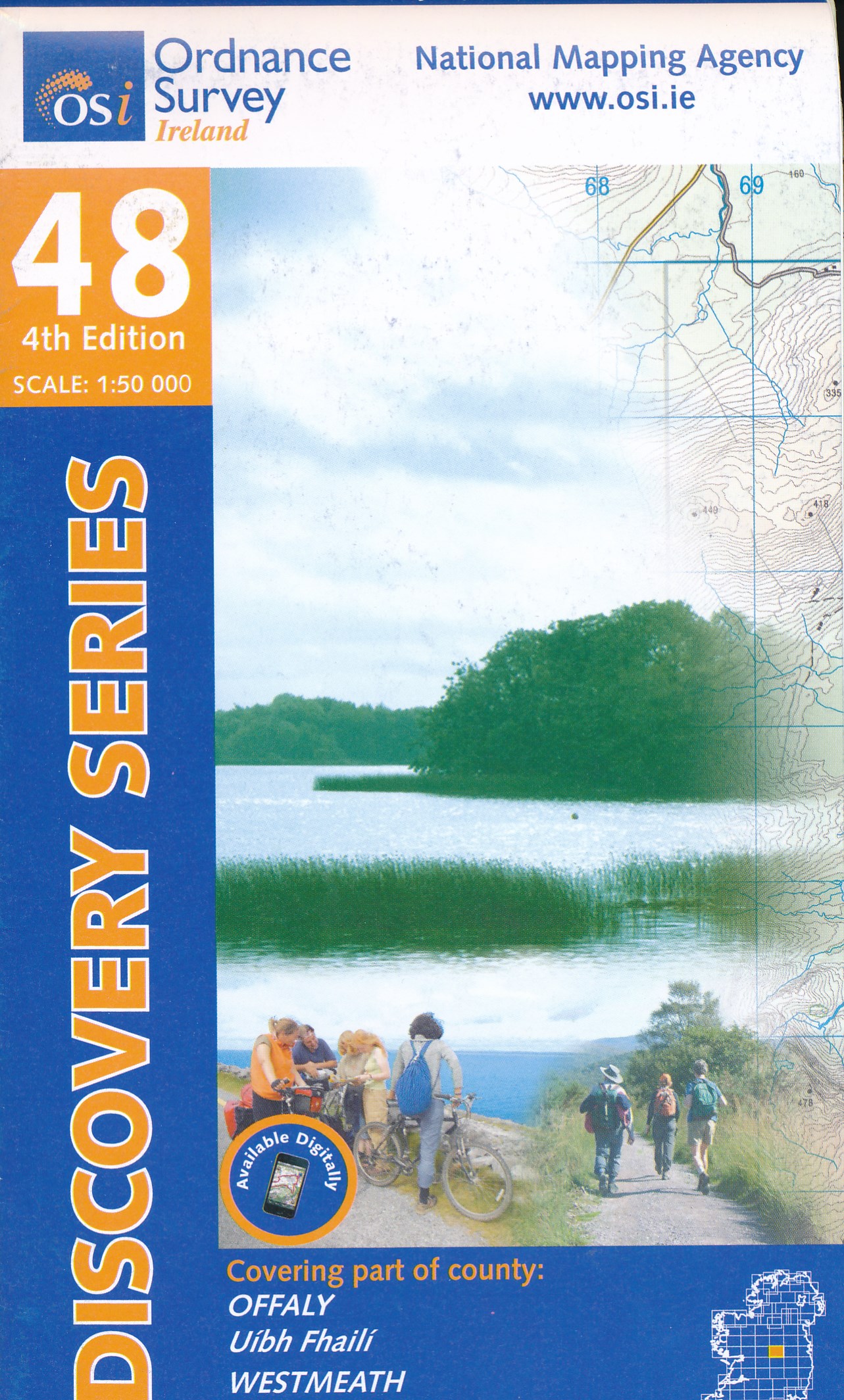
- Offaly - Westmeath OSI Discovery 48
- Map No. 48, Offaly North - Westmeath South in the Discovery series from the OSI, the Ordnance Survey of Ireland, which presents the country on detailed topographic maps at 1:50,000, with additional overprint highlighting campsites and caravan parks, youth hostels, etc. Current 3rd edition of this map was published in February 2011.Maps in the... Lire la suite
- Also available from:
- The Book Depository, United Kingdom


The Book Depository
United Kingdom
United Kingdom
- New Guinea Birds
- A Folding Pocket Guide to Familiar Species Lire la suite

- Also available from:
- De Zwerver, Netherlands
De Zwerver
Netherlands
Netherlands

- Also available from:
- De Zwerver, Netherlands

- Also available from:
- De Zwerver, Netherlands
De Zwerver
Netherlands
Netherlands
De Zwerver
Netherlands
2007
Netherlands
2007
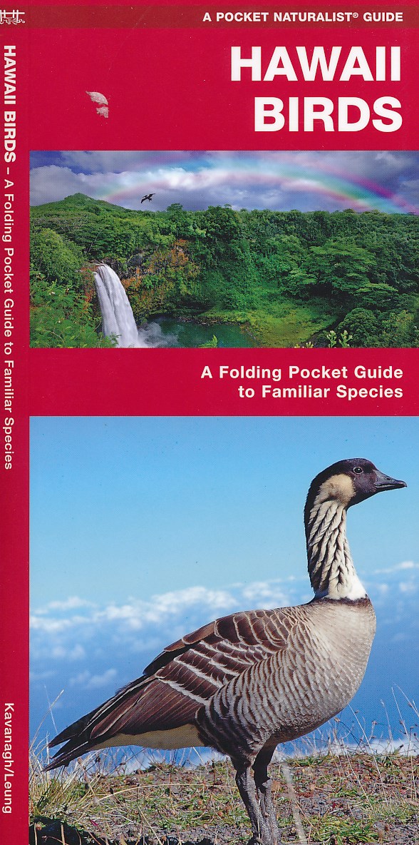
- Vogelgids - Natuurgids Hawaii Birds | Waterford Press
- Een bijzonder handige uitklapkaart met alle veelvoorkomende vogels van Hawaii. Duidelijke illustraties, goede korte omschrijving van soort en leefgebied, geplastificeerd. Lire la suite
De Zwerver
Netherlands
Netherlands
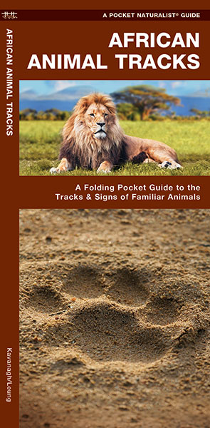
- Natuurgids African Animal Tracks | Waterford Press
- Een handige uitklapkaart met sporen en uitwerpselen van de meest bekende dieren omp ze op te kunnen sporen als je op safari bent. When tracking animals in Africa, guides rely on spoor (tracks and dung) to let them know where and when animals are travelling. African Animal Tracks is the perfect pocket-sized, folding guide for the travelling... Lire la suite

De Zwerver
Netherlands
Netherlands
- Natuurgids Brazil Wildlife - Brazilië | Waterford Press
- Een bijzonder handige uitklapkaart met alle veelvoorkomende wildlife van Brazilië. Duidelijke illustraties, goede korte omschrijving van soort en leefgebied, geplastificeerd. One of the world’s richest ecosystems, Brazil is home to the most species of plants (55,000), fishes (3,000) and mammals (600+) anywhere on earth. A naturalist’s paradise,... Lire la suite
De Zwerver
Netherlands
Netherlands
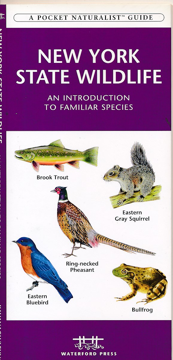
- Natuurgids New York state wildlife | Waterford Press
- New York State Wildlife is the perfect pocket-sized, folding guide for the nature enthusiast. This beautifully illustrated guide highlights over 140 familiar species of birds, mammals, reptiles, amphibians, butterflies and fishes and includes a map featuring prominent state-wide wildlife sanctuaries. Laminated for durability, this handy guide... Lire la suite

Bol.com
Netherlands
2013
Netherlands
2013
- Rocky Mountain National Park Wildlife
- With over 415 square miles of alpine and subalpine territory, Rocky Mountain National Park Wildlife has varied habitats that support hundreds of species of animals. This beautifully illustrated guide highlights over 140 familiar and unique species of mammals, birds, reptiles, amphibians, fishes and butterflies and includes a map featuring... Lire la suite
- Also available from:
- Bol.com, Belgium
- De Zwerver, Netherlands
Bol.com
Belgium
2013
Belgium
2013
- Rocky Mountain National Park Wildlife
- With over 415 square miles of alpine and subalpine territory, Rocky Mountain National Park Wildlife has varied habitats that support hundreds of species of animals. This beautifully illustrated guide highlights over 140 familiar and unique species of mammals, birds, reptiles, amphibians, fishes and butterflies and includes a map featuring... Lire la suite

De Zwerver
Netherlands
2013
Netherlands
2013
- Natuurgids - Vogelgids Rocky Mountain National Park Wildlife | Waterford Press
- Een bijzonder handige uitklapkaart met alle veelvoorkomende dieren van de Rocky Mountain nationale park. Duidelijke illustraties, goede korte omschrijving van soort en leefgebied, geplastificeerd. Familiar species, common plants, and natural phenomena are introduced in these beautifully illustrated guides to nature and the outdoors. Printed on... Lire la suite
De Zwerver
Netherlands
Netherlands
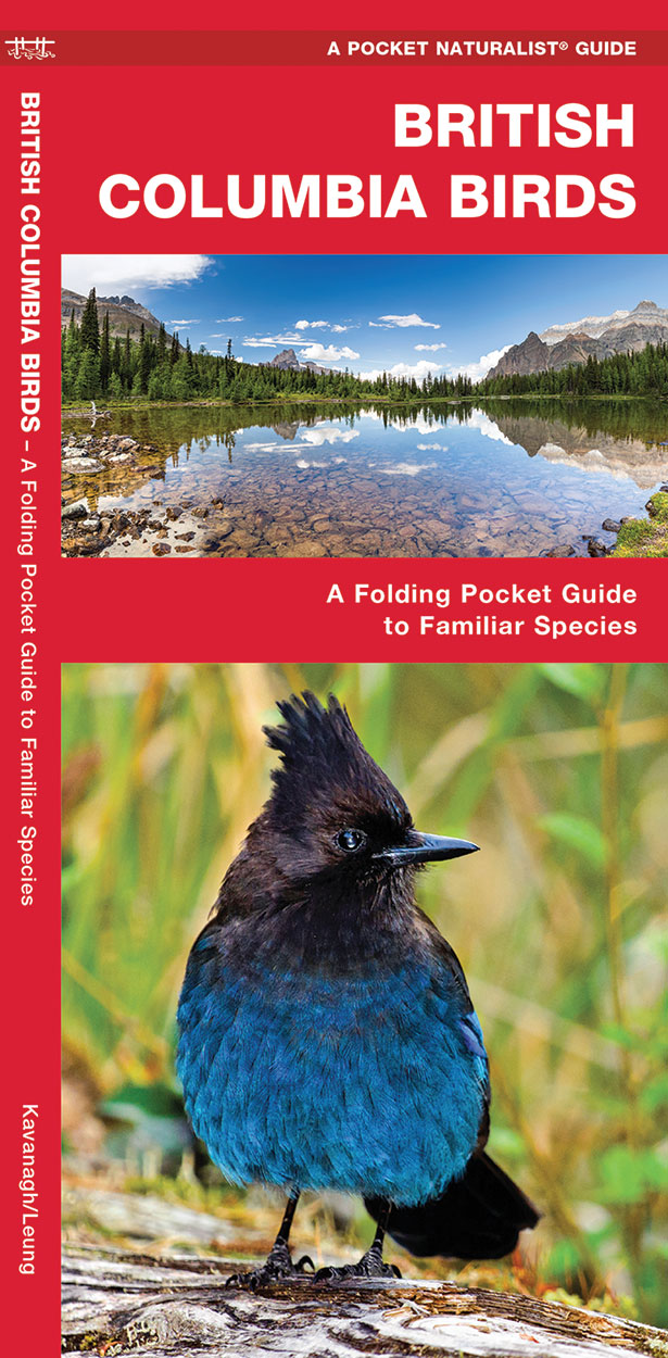
- Vogelgids - Natuurgids British Columbia Birds | Waterford Press
- British Columbia Birds, An Introduction to Familiar Species, is a must-have, reference guide for beginners and experts alike. This guide covers birding hotspots and sanctuaries. Whether you're on a nature hike or in your own backyard, you'll want to take along a copy of this indispensable guide. The Pocket Naturalist series is an introduction... Lire la suite

De Zwerver
Netherlands
Netherlands
- Natuurgids Australia's Dangerous Animals | Waterford Press
- Een bijzonder handige uitklapkaart met de meest voorkomende gevaarlijke dieren van Australië. Duidelijke illustraties, goede korte omschrijving van soort en leefgebied, geplastificeerd. One of the most the most dangerous places for humans to live on earth, Australia is home to a variety of creatures that can severely injure humans on land and... Lire la suite
De Zwerver
Netherlands
Netherlands
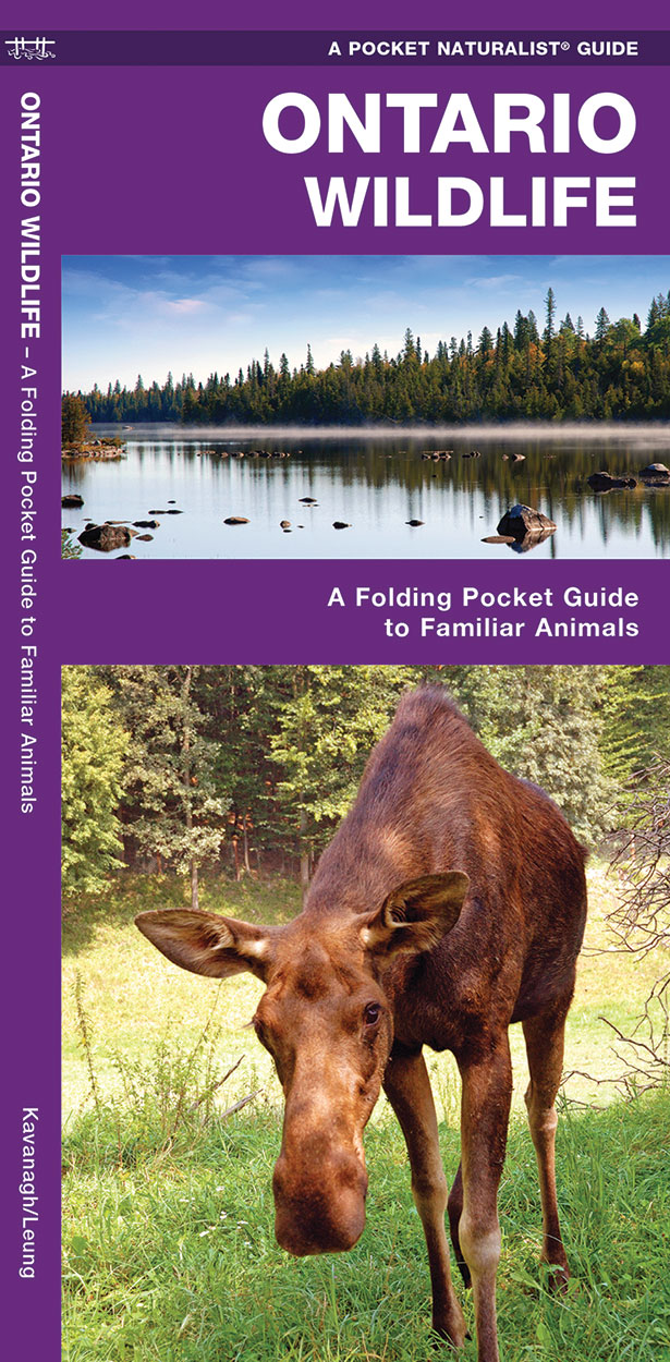
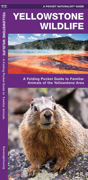
- Natuurgids - Vogelgids Yellowstone Wildlife | Waterford Press
- Een bijzonder handige uitklapkaart met alle veelvoorkomende dieren van Yellowstone National Park. Duidelijke illustraties, goede korte omschrijving van soort en leefgebied, geplastificeerd. Astounding geology, unusual wildlife and spectacular scenery are but a few of the amazing attractions of this special area that is home to America's first... Lire la suite
Cartes

Stanfords
United Kingdom
United Kingdom
- Kildare - Meath - Offaly - Westmeath OSI Discovery 49
- Map No. 49, Kildare North - Meath south-East - Offaly East in the Discovery series from the OSI, the Ordnance Survey of Ireland, which presents the country on detailed topographic maps at 1:50,000, with additional overprint highlighting campsites and caravan parks, youth hostels, etc. Current 4th edition of this map was published in January... Lire la suite

Stanfords
United Kingdom
United Kingdom
- Transrhodopi - Long distance hiking and biking trail From Trigrad to Ivaylovgrad
- Western Rhodope Mountains at 1:100,000 on a contoured GPS compatible map from Domino extending from just west of the Pirin National Park to Asenovgrad in the north-east. The map is double-sided with a good overlap between the sides. Topography is shown by contours at 50m intervals with relief shading and spot heights, plus colouring for... Lire la suite

Stanfords
United Kingdom
United Kingdom
- Kilkenny - Tipperary - Waterford OSI Discovery 75
- Map No. 75, Waterford North in the Discovery series from the OSI, the Ordnance Survey of Ireland, which presents the country on detailed topographic maps at 1:50,000, with additional overprint highlighting campsites and caravan parks, youth hostels, etc. Current 4th edition of this map was published in January 2013.Maps in the Discovery series... Lire la suite
Stanfords
United Kingdom
United Kingdom
- Leitrim - Longford - Roscommon - Sligo OSI Discovery 33
- Map No. 33, Roscommon North - Leitrim South-West in the Discovery series from the OSI, the Ordnance Survey of Ireland, which presents the country on detailed topographic maps at 1:50,000, with additional overprint highlighting campsites and caravan parks, youth hostels, etc. Current 4th edition of this title was published in January 2013.Maps... Lire la suite

Stanfords
United Kingdom
United Kingdom
- Brantford - Stratford - Woodstock
- Double-sided, indexed street plan of Brantford, Stratford and Woodstock, including Simcoe Delhi, Paris, Port Dover, St. Marys, and Waterford. Street plans from the MapArt / Canadian Cartographics Corporation / JDM Géo publishing group are usually produced at scales around 1:25,000 to 1:35,000 with smaller towns often shown at more detailed... Lire la suite

Stanfords
United Kingdom
United Kingdom
- Dublin Borch
- Central districts of Dublin on a laminated and waterproof tourist plan from Borch, with an enlargement for the city centre, a plan of Phoenix Park, and road maps of the capital’s environs and of the whole of the east coast between Dundalk and Waterford. The main plan at 1:12,000 extends from Dublin Bay Passenger and Ferry Terminal to Phoenix... Lire la suite

Stanfords
United Kingdom
United Kingdom
- Cape Breton Island - Sydney - Truro NS MapArt
- Cape Breton Island – the north-eastern part of Nova Scotia on an indexed map at 1:300,000, plus indexed street maps of its main towns. The map of Cape Breton Island indicates unpaved roads, with driving distances marked on main routes. Railway lines and ferry connections are marked and the map indicates locations with scheduled air services.... Lire la suite
Stanfords
United Kingdom
United Kingdom
- Galway - Longford - Roscommon - Westmeath OSI Discovery 40
- Map No. 40, Roscommon Central - Longford West in the Discovery series from the OSI, the Ordnance Survey of Ireland, which presents the country on detailed topographic maps at 1:50,000, with additional overprint highlighting campsites and caravan parks, youth hostels, etc. Current 3rd edition of this title was published in March 2011.Maps in the... Lire la suite

Stanfords
United Kingdom
United Kingdom
- Longford - Meath - Westmeath OSI Discovery 41
- Map No. 41, Longford South-West - Westmeath North in the Discovery series from the OSI, the Ordnance Survey of Ireland, which presents the country on detailed topographic maps at 1:50,000, with additional overprint highlighting campsites and caravan parks, youth hostels, etc. Current 3rd edition of this title was published in February 2011.Maps... Lire la suite
Stanfords
United Kingdom
United Kingdom
- Waterford SE OSI Discovery 82
- Map No. 82, Waterford South-East in the Discovery series from the OSI, the Ordnance Survey of Ireland, which presents the country on detailed topographic maps at 1:50,000, with additional overprint highlighting campsites and caravan parks, youth hostels, etc. Current 3rd edition of this map was published in January 2012.Maps in the Discovery... Lire la suite
- Also available from:
- The Book Depository, United Kingdom

The Book Depository
United Kingdom
United Kingdom
- Waterford
- Map No. 82, Waterford South-East in the Discovery series from the OSI, the Ordnance Survey of Ireland, which presents the country on detailed topographic maps at 1:50,000, with additional overprint highlighting campsites and caravan parks, youth hostels, etc. Current 3rd edition of this map was published in January 2012.Maps in the Discovery... Lire la suite
Stanfords
United Kingdom
United Kingdom
- Laois - Offaly - Tipperary OSI Discovery 54
- Map No. 54, Laois North West in the Discovery series from the OSI, the Ordnance Survey of Ireland, which presents the country on detailed topographic maps at 1:50,000, with additional overprint highlighting campsites and caravan parks, youth hostels, etc. Current 3rd edition of this map was published in October 2011.Maps in the Discovery series... Lire la suite
- Also available from:
- The Book Depository, United Kingdom

The Book Depository
United Kingdom
United Kingdom
- Laois, Offlay, Tipperary
- Map No. 54, Laois North West in the Discovery series from the OSI, the Ordnance Survey of Ireland, which presents the country on detailed topographic maps at 1:50,000, with additional overprint highlighting campsites and caravan parks, youth hostels, etc. Current 3rd edition of this map was published in October 2011.Maps in the Discovery series... Lire la suite

The Book Depository
United Kingdom
United Kingdom
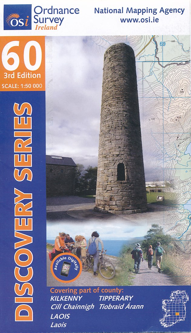
- Kilkenny, Laois, Tipperary
- Map No. 60, Kilkenny North - Laois South in the Discovery series from the OSI, the Ordnance Survey of Ireland, which presents the country on detailed topographic maps at 1:50,000, with additional overprint highlighting campsites and caravan parks, youth hostels, etc. Current 3rd edition of this map was published in October 2011.Maps in the... Lire la suite
- Also available from:
- De Zwerver, Netherlands
De Zwerver
Netherlands
Netherlands
- Topografische kaart - Wandelkaart 60 Discovery Kilkenny, Laois, Tipperary | Ordnance Survey Ireland
- Map No. 60, Kilkenny North - Laois South in the Discovery series from the OSI, the Ordnance Survey of Ireland, which presents the country on detailed topographic maps at 1:50,000, with additional overprint highlighting campsites and caravan parks, youth hostels, etc. Current 3rd edition of this map was published in October 2011.Maps in the... Lire la suite

Stanfords
United Kingdom
United Kingdom
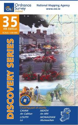
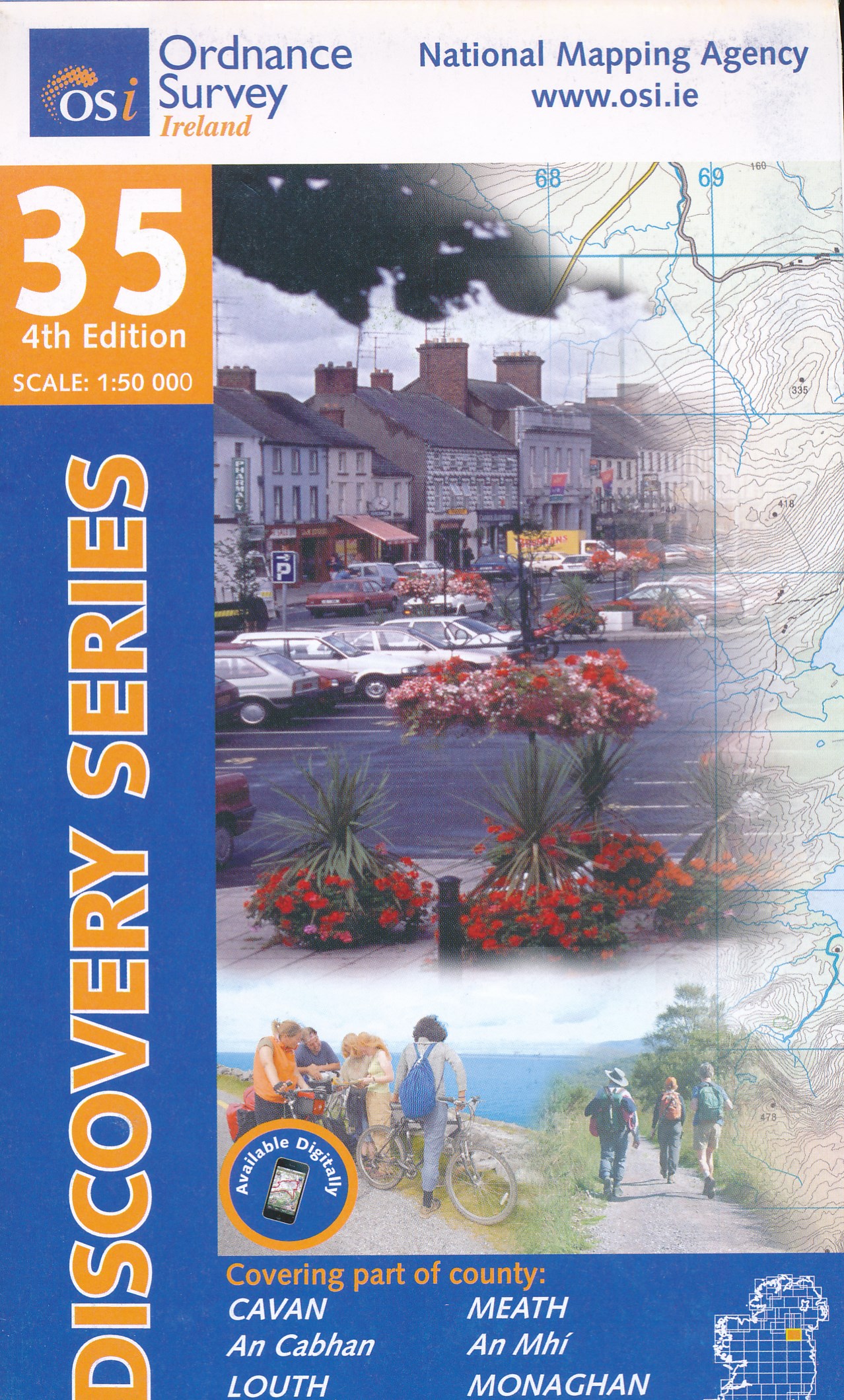
- Cavan - Louth - Meath - Monaghan OSI Discovery 35
- Map No. 35, Cavan East - Meath North in the Discovery series from the OSI, the Ordnance Survey of Ireland, which presents the country on detailed topographic maps at 1:50,000, with additional overprint highlighting campsites and caravan parks, youth hostels, etc. Current 3rd edition of this map was published in December 2011.Maps in the... Lire la suite
- Also available from:
- The Book Depository, United Kingdom
- De Zwerver, Netherlands
De Zwerver
Netherlands
Netherlands
- Topografische kaart - Wandelkaart 35 Discovery Cavan, Louth, Meath, Monaghan | Ordnance Survey Ireland
- Map No. 35, Cavan East - Meath North in the Discovery series from the OSI, the Ordnance Survey of Ireland, which presents the country on detailed topographic maps at 1:50,000, with additional overprint highlighting campsites and caravan parks, youth hostels, etc. Current 3rd edition of this map was published in December 2011.Maps in the... Lire la suite
De Zwerver
Netherlands
Netherlands
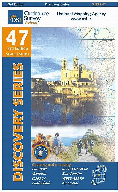
- Topografische kaart - Wandelkaart 47 Discovery Galway, Offaly, Roscommon, Westmeath | Ordnance Survey Ireland
- Zeer gedetailleerde topografische kaart met een aantal toegevoegde toeristische symbolen voor bijv. bezienswaardigheden, campings en jeugdherbergen. Met hoogtelijnen, mooi kleurgebruik en ingetekende lange-afstands-wandelroutes. Op deze kaart zijn de nationale parken en de 'national reserves ' uitstekend te vinden. De kaart is dus zowel voor de... Lire la suite
Plus de cartes …