
Utrechtse Heuvelrug
Description
The Utrechtse Heuvelrug is a range of wooded hills in the province of Utrecht. The hills are poor sand deposits of the glaciers that reached the Netherlands in one of the Ice Ages. The currentn course of the river Rhine was a result of this era. Like many parts of the Netherlands, the area was barren and treeless, grazed by sheep. The area close to the rivers was colonized by rich families during the Golden Age; you will find many residences and parks, called "buitenplaats". The once desolate hills are now turned into fantastic forests, albeit a bit overcrowded.
Sentiers de cette région
Liens
Données
Rapports
Guides et cartes
Hébergement
Organisations
Voyagistes
GPS
Autre
Livres
Bol.com
Netherlands
Netherlands
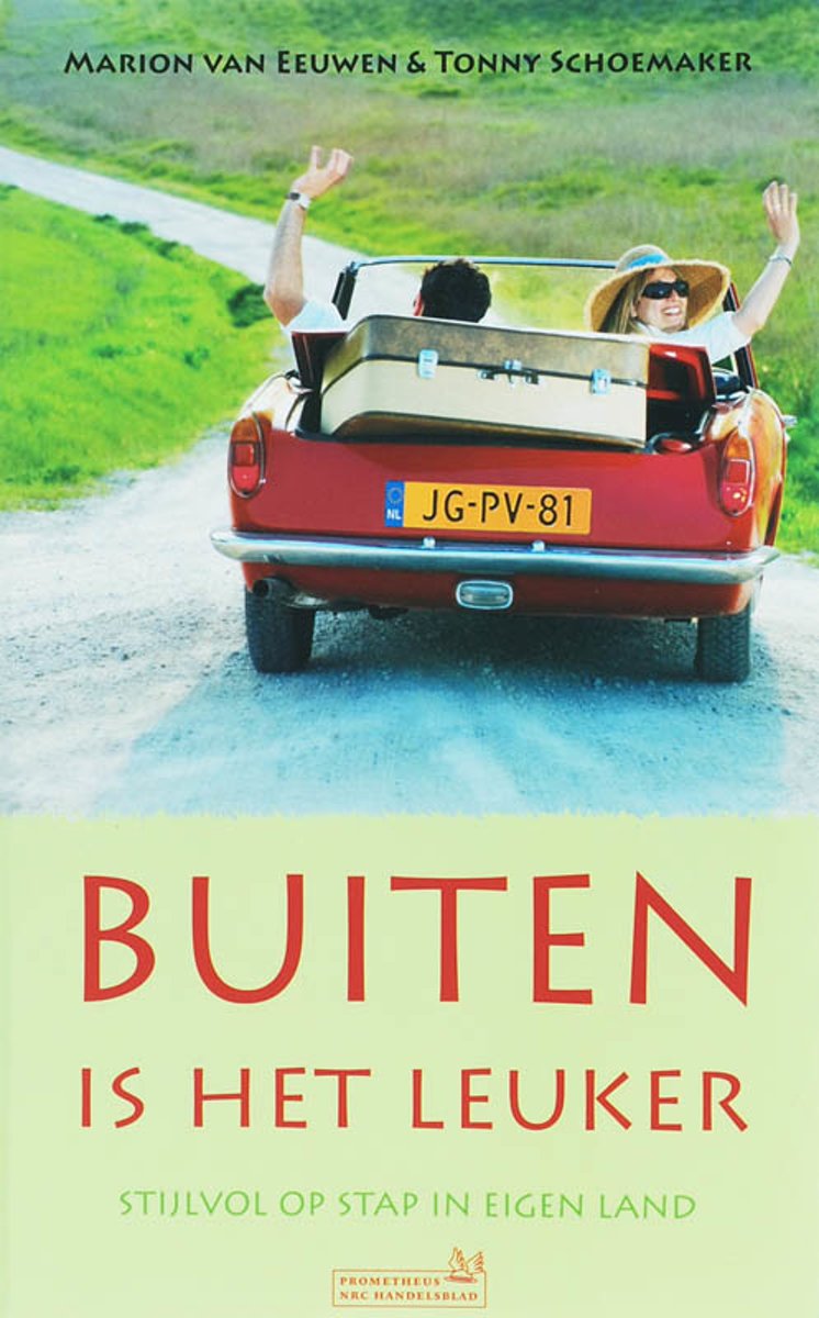
- Buiten Is Het Leuker
- Wandelen langs ruisende beken, varen in een salonboot, theedrinken tussen de rododendrons en logeren in een hooiberg.BUITEN IS HET LEUKER doet suggesties voor stijlvolle uitstapjes in de omgeving van bijzondere natuur-gebieden in Nederland. Bij elke region zochten en vonden de samenstelsters van de succesvolle Agenda van NRC Handelsblad... Lire la suite
- Also available from:
- Bol.com, Belgium
Bol.com
Belgium
Belgium
- Buiten Is Het Leuker
- Wandelen langs ruisende beken, varen in een salonboot, theedrinken tussen de rododendrons en logeren in een hooiberg.BUITEN IS HET LEUKER doet suggesties voor stijlvolle uitstapjes in de omgeving van bijzondere natuur-gebieden in Nederland. Bij elke region zochten en vonden de samenstelsters van de succesvolle Agenda van NRC Handelsblad... Lire la suite
Bol.com
Netherlands
Netherlands
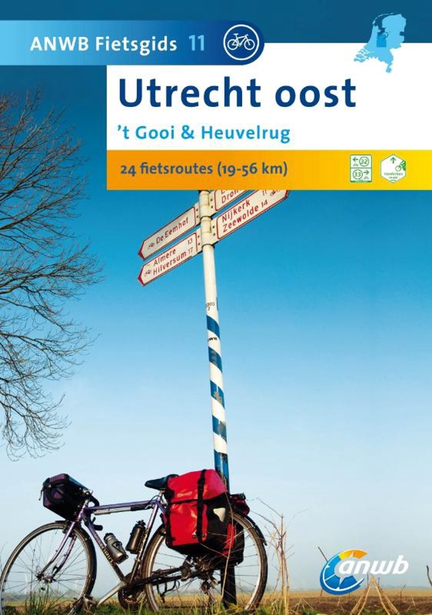
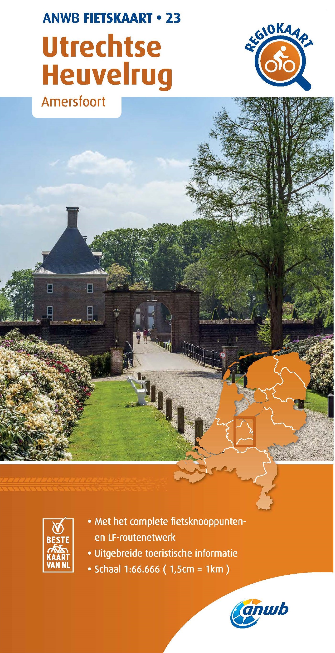
- ANWB Fietsgids 11 / 't Gooi & Heuvelrug Utrecht Oost
- De fietsroutes laten de provincie van een verrassend gevarieerde kant zien. De provincie Utrecht wordt in tweeën gedeeld door de Utrechtse Heuvelrug. Naar het hoogste punt, de 58m hoge Amerongse berg, is het nog een pittige, steile klim. In het laagland ten oosten en westen van de heuvelrug liggen de rivierdalen, veenweiden, polders en plassen.... Lire la suite
- Also available from:
- Bol.com, Belgium
Bol.com
Belgium
Belgium
- ANWB Fietsgids 11 / 't Gooi & Heuvelrug Utrecht Oost
- De fietsroutes laten de provincie van een verrassend gevarieerde kant zien. De provincie Utrecht wordt in tweeën gedeeld door de Utrechtse Heuvelrug. Naar het hoogste punt, de 58m hoge Amerongse berg, is het nog een pittige, steile klim. In het laagland ten oosten en westen van de heuvelrug liggen de rivierdalen, veenweiden, polders en plassen.... Lire la suite
De Zwerver
Netherlands
2022
Netherlands
2022
De Zwerver
Netherlands
2015
Netherlands
2015
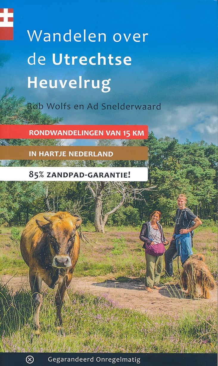
- Wandelgids Wandelen over de Utrechtse Heuvelrug | Gegarandeerd Onregelmatig
- 'Wandelen over de Utrechtse Heuvelrug' is wandelen in het hart van Nederland. In maar liefst vijftien rondwandelingen doorkruis je de meest uiteenlopende landschappen. Van uitgestrekte heidevelden naar lommerijke lanen en over kronkelige bospaden naar de toppen van de heuvelrug. Je daalt zelfs een paar keer af naar de uiterwaarden van... Lire la suite
De Zwerver
Netherlands
2012
Netherlands
2012
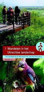
- Wandelgids Wandelen in het Utrechtse landschap | Buijten & Schipperheijn
- Tien wandelingen in een bijzonder stuwwallengebied: de Utrechtse Heuvelrug. De natuurjournalist Kees de Heer brengt je op de mooiste plekken. Met kennis van zaken en veel enthousiasme wijst hij op bijzondere elementen in het landschap: bodemopbouw, reliëfverschillen de ontginningsgeschiedenis, oude patronen, tuinstijlen en andere... Lire la suite
De Zwerver
Netherlands
2014
Netherlands
2014
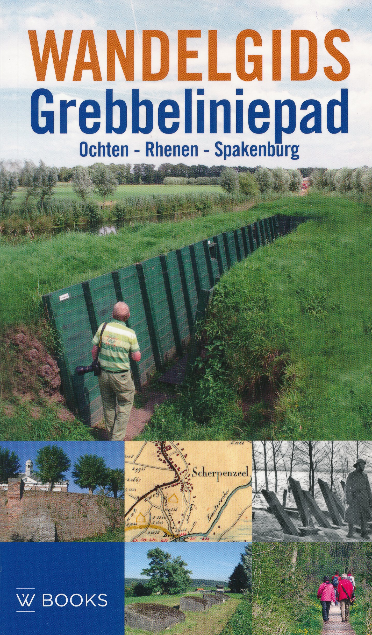
- Wandelgids Grebbeliniepad Ochten - Rhenen - Spakenburg | Uitgeverij Wbooks
- Wandelen in Grebbelinie heeft iets geheimzinnigs; de sporen van 200 jaar vestinggeschiedenis liggen overal verborgen in het groen. In deze vernieuwde uitgave van de Wandelgids Grebbeliniepad is de linie voor het eerst over de gehele lengte te bewandelen. Met de toevoeging van het ontbrekende deel door de Neder-Betuwe langs o.a. het Hoornwerk... Lire la suite
- Also available from:
- Bol.com, Belgium
Cartes

Stanfords
United Kingdom
2010
United Kingdom
2010
- Utrechtse Heuvelrug
- Utrechtse Heuvelrug on a waterproof, tear-resistant, GPS compatible walking map at 1:25,000 from Trage Paden, in a series of maps with extensive overprint for long-distance and local walking routes. GPS waypoints and route profiles are available for download from the publisher’s website.Contours used in this map series vary between 2,5 to 5m... Lire la suite

Stanfords
United Kingdom
United Kingdom
- Pegnitz E11
- Pegnitz in a series of GPS compatible recreational editions of the Bavarian topographic survey at 1:25,000, with waymarked hiking trails and cycling routes, campsites and youth hostels, etc. Coverage includes Creußen, Ahorntal, Pottenstein, Glashütten, Hummeltal, Schnabelwaid.Contours used in this map vary between 5 to 20m according to the... Lire la suite

Stanfords
United Kingdom
United Kingdom
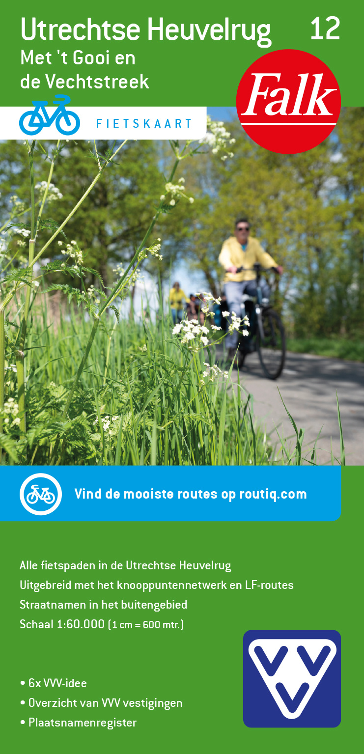
- Utrecht Hills - `t Gooi - Vecht area Falkplan Cycling Map 12
- Utrecht Hill Ridge region of the Netherlands at 1:50,000 in a series from Falk B.V. showing the network of signposted cycling routes on large, double-sided indexed maps with prominent highlighting of long-distance LF routes, symbols indicating accommodation and other tourist services, plus in each title two or more panels with recommended local... Lire la suite

Stanfords
United Kingdom
2020
United Kingdom
2020
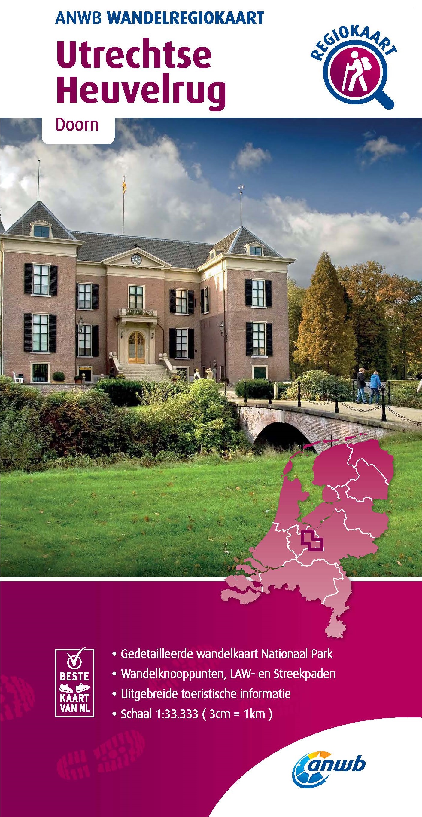
- Utrechtse Heuvelrug
- Utrechtse Heuvelrug area of the Netherlands in a series of walking and cycling maps at 1:25,000 – 1:35,000, published by Falk BV in cooperation with Staatsbosbeheer – Dutch government’s organization for forestry and the management of nature reserves.Colouring indicates different types of vegetation or terrain: woodland, pastures, heath or sand... Lire la suite
- Also available from:
- De Zwerver, Netherlands

De Zwerver
Netherlands
2020
Netherlands
2020
- Wandelkaart 25 Staatsbosbeheer Utrechtse Heuvelrug | Falk
- Utrechtse Heuvelrug area of the Netherlands in a series of walking and cycling maps at 1:25,000 Lire la suite