
Graafschapspad
Description
- Name Graafschapspad (SP8)
- Distance de sentier 116 km, 72 milles
- Durée en jours 6 jours
- Début de sentier Zutphen
- Fin de sentier Zutphen
- Classement Traildino LW, Promenade légère, promenade a la campagne


Graafschapspad, SP8: Circular Trail, 116 km, divided into 4-6 day hikes.
If you want to go east, but not too far from the urban centres of the country, this trail is a fine suggestion. The ‘Graafschap' is a region to the east of the river IJssel. It owes much of its historical development to its position between the towns of Holland and the German hinterland. This brought trade and resulted in attractive towns like Zutphen. In addition to being a trade route, traditionally the area was also attractive for the rich to build their country houses and estates. Social inequality is not a thing of the past, but present day walkers are free to enjoy its contribution to the countryside.
Also known as the Regional Path RP 8, the Graafschapspad is a circular trail around the town of Vorden in the province of Gelderland. Both Zutphen and Doesburg are convenient starting points. (DB)
Carte


Liens
Données
Rapports
Guides et cartes
Hébergement
Organisations
Voyagistes
GPS
Autre
Livres
Netherlands
2017
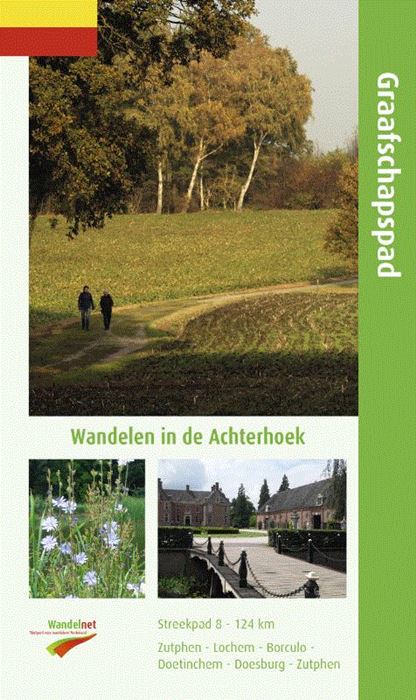
- Wandelgids S8 Streekpad Graafschapspad | Wandelnet
- Routegids met gedetailleerde topografische kaarten waar de route duidelijk op ingetekend is. Daarnaast alle noodzakelijke informatie als openbaar vervoer en overnachtingsadressen. Traject : Rondom Vorden / Lengte : 124 km Een afwisselende route in een verrassend stukje Nederland. Kleine bosjes, landgoederen en Saksische boerderijen in de... Lire la suite