
Catalunya
Description
Carte

Sentiers de cette région
- Carros de FocGPX
- GR1 Sendero Histórico, Senda TransversalGPX
- GR107 - El Camí dels Bons HomesGPX
- GR11 Sendero PirenaicoGPX
- GR150 Alrededor de la Sierra de CadíGPX
- GR170 L'Estany - VidràGPX
- GR171 Pinós - PaülsGPX
- GR172 Bellprat - Montserrat - La MussaraGPX
- GR173 Vallès NaturalGPX
- GR174 Sender del PrioratGPX
- GR175 Ruta del CisterGPX
- GR176 Ruta de les Vint ErmitesGPX
- GR177 Ruta del MoianésGPX
- GR178 Ruta d'en SerrallongaGPX
- GR179 Sender del MaquisGPX
- GR192 Cambrils - AmpostaGPX
- GR2 La Jonquera - AiguafredaGPX
- GR210 Camí vora TerGPX
- GR211 Circular del Vall d'AranGPX
- GR241 Sender Circular de BorredàGPX
- GR3 Sendero Central de CatalunyaGPX
- GR4 Puigcerdà - MontserratGPX
- GR5 Sendero de los Parques Naturales, Sender dels MiradorsGPX
- GR6 Barcelona - MontserratGPX
- GR65 Camino de SantiagoGPX
- GR7 Andorra - TarifaGPX
- GR8 Puertos de Beceite - JavalambreGPX
- GR83 - Camí del Nord o del CanigóGPX
- GR92 Sender MediterraneoGPX
- GR96 Cami Romeu a MontserratGPX
- GR97 Sendero de la Tordera al LlobregatGPX
- GR99 Sendero del EbroGPX
Liens
Données
Rapports
Guides et cartes
Hébergement
Organisations
Voyagistes
GPS
Autre
Livres

Stanfords
United Kingdom
United Kingdom
- Les Monts du Beaujolais et du Lyonnais à pied FFRP Topo-guide No. P691
- Les Monts du Beaujolais et du Lyonnais à pied, FFRP topo-guide Ref. No. P691, with 34 day walks of varying length and difficulty in the region between Mâcon and St.Etienne, including a route along the GR7 and its variants. Each walk is presented on a separate colour extract from IGN’s topographic survey of France at 1:25,000, with its... Lire la suite
Stanfords
United Kingdom
United Kingdom
- DK Eyewitness Travel Guide Spain
- Your journey starts here. Featuring DK`s much-loved maps and illustrations, walks and information, plus all new, full-colour photography, this 100% updated guide to Spain brings you the best of this sensational country in a brand-new, lightweight format.What`s inside?- full-colour photography, hand-drawnillustrations, and maps throughout-... Lire la suite

Stanfords
United Kingdom
2021
United Kingdom
2021
- Camino de Santiago: The ancient Way of Saint James pilgrimage route from the French Pyrenees to Santiago de Compostela
- El Camino de Santiago de Compostela, the ancient Christian pilgrimage route has been travelled for over a thousand years to the Cathedral of Santiago de Compostela, where, legend has it, the bones of St James are buried. This guide follows the most popular route, starting at St Jean-Pied-de-Port in south-west France and heading all the way... Lire la suite

Stanfords
United Kingdom
United Kingdom
- DK Eyewitness Barcelona and Catalonia
- Sun-worshipper, city goer or outdoor enthusiast? No matter your tribe, this is the perfect region for you.Whether you want to enjoy Costa Brava`s laidback lifestyle, marvel the truly iconic Sagrada Familia or hike the undulating landscape of long-extinct volcanoes, your DK Eyewitness travel guide makes sure you experience all that Barecelona... Lire la suite

Stanfords
United Kingdom
United Kingdom
- DK Eyewitness Road Trips Spain
- With its idyllic hilltop villages, historic cities, coastal towns, and stunning natural landscapes, Spain is the perfect destination for a leisurely road trip. It`s yours to explore with Road Trips Spain, our redesigned and newly updated guide containing 25 drives across the country, from the spectacular rocky coastline of Mallorca to the... Lire la suite

Stanfords
United Kingdom
United Kingdom
- GR3: Les Monts du Forez FFRP Topo-guide No. 334
- Les Monts du Forez, FFRP topoguide Ref. No. 334, covering in all 259kms along the GR3 and its variant, with additional descriptions of 21 day walks in the region. Current edition of this title was published in April 2016.ABOUT THE FFRP (Fédération française de la randonnée pédestre) TOPOGUIDES: published in a handy A5 paperback format, the... Lire la suite

Stanfords
United Kingdom
United Kingdom
- DK Eyewitness Barcelona and Catalonia
- Discover unique architecture, diverse landscapes and a centuries-old culture.Whether you want to enjoy Costa Brava`s laidback lifestyle, marvel at the iconic Sagrada Familia or hike the undulating landscape of long-extinct volcanoes, your DK Eyewitness travel guide makes sure you experience all that Barecelona and Catalonia have to offer.From... Lire la suite

Stanfords
United Kingdom
United Kingdom
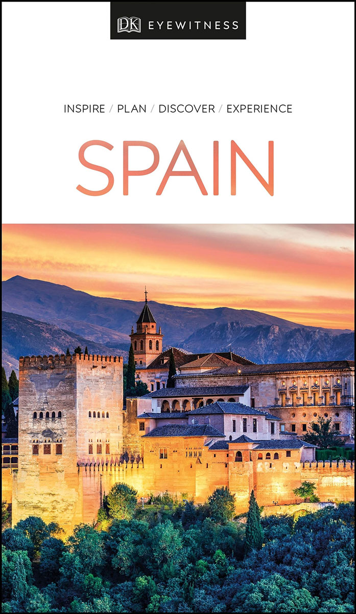
- DK Eyewitness Spain
- Discover Spain - a compelling country filled with must-see sightsWhether you want to explore Granada`s spectacular Alhambra palace, watch swirling flamenco dancers in Seville or walk through lush countryside on the epic Camino de Santiago, your DK Eyewitness travel guide makes sure you experience all that Spain has to offer.From the golden... Lire la suite
Stanfords
United Kingdom
2020
United Kingdom
2020
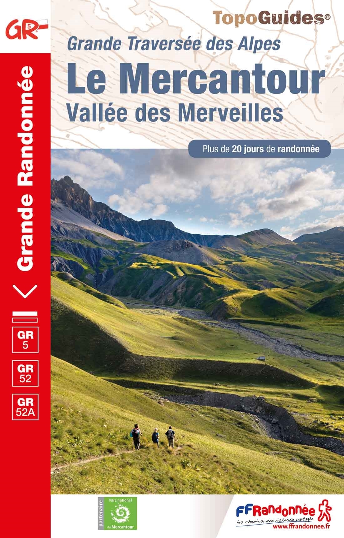
- Le Mercantour - Vallee des Merveilles GR5/GR52/52A
- Le Mercantour: Larche – Nice/Menton, Vallée des Merveilles, FFRP topoguide Ref. No. 507, covering 450km of long-distance routes: the last section of the GR5 in the French Alps from Larche to Nice, an alternative variant off GR5 along the GR52 leading via the Vallée des Merveilles to Menton, plus GR52A – Panoramique du Mecantour from Col du... Lire la suite

Stanfords
United Kingdom
2020
United Kingdom
2020
- La Traversee der Alpes La Vanoise - PN de la Vanoise GR5/GR55
- 15 days in altitude from the Tarentaise to Modane, heart of the Maurienne. Description also of Via Alpina.La Vanoise (including Parc National de la Vanoise), FFRP topoguide Ref. no. 530, covering the second section of the GR5 in the French Alps between Landry and Modane, its lower variant on the GR5E along the river Arc, plus the traverse of... Lire la suite

Stanfords
United Kingdom
2017
United Kingdom
2017
- Sentiers de St- Jacques via le Puy - Moissac to Roncevaux GR65
- Continuation and end of the Puy road, through Quercy, Béarn and Basque Country. More than 15 days of hiking.Chemins de St- Jacques: Moissac - Roncevaux (Roncesvalles), FFRP topoguide Ref. no. 653, covering the last, 345-km long section of the Way of St. James in France along the GR65 between Le Puy-en-Velay to the Spanish border. Current... Lire la suite

Stanfords
United Kingdom
2015
United Kingdom
2015
- GR9/GR96/GRP: Tours et Traversées de Chartreuse FFRP Topo-guide No. 903
- Tours et Traversées de Chartreuse, FFRP topoguide Ref. no. 903, covering 385kms of routes along the GR9 and GR96 in the northern part of the French Alps between Culoz, Chambéry and Grenoble. Current edition of this title was published in May 2015.ABOUT THE FFRP (Fédération française de la randonnée pédestre) TOPOGUIDES: published in a handy A5... Lire la suite
Stanfords
United Kingdom
2021
United Kingdom
2021
- Tour de l`Oisans et des Ecrins - Parc National des Ecrins GR54/GR541
- Tour de l`Oisans et des Ecrins, FFRP topoguide, Ref. No. 508, covering the 11 to 13 days long tour of the Ecrins massif along the GR54, including the local section of the GR5. Variants along GRs 54A, 54B, 54C, and 541 offer less demanding circuits of two to three days. Current edition of this title was published in April 2014.To see other... Lire la suite

Stanfords
United Kingdom
2016
United Kingdom
2016
- St-Jacques-de-Compostelle - Puy-en-Velay to Moissac GR65-1 IGN 89020
- Chemin de St-Jacques - the Way of St James in France along the GR65 between Le Puy-en-Velay and Moissac presented at 1:100,000 on a double-sided, waterproof and tear-resistant map from IGN with cartography from their highly popular TOP100 series. The route is prominently highlighted on contoured mapping and annotated with hiking distances.... Lire la suite

Stanfords
United Kingdom
2015
United Kingdom
2015
- GR2: La Seine à pied en Ile de France FFRP Topo-guide No. 203
- More than 10 days of hiking following the course of the Seine between Montereau (77) and Vernon (27).La Seine à pied en Ile de France, FFRP topoguide Ref. no. 203, covering a 262kms route along the GR2 from Monterau-Fault-Yonne to Vernon following the Seine, including in the suburbs of Paris and across the capital, with variants on both sides... Lire la suite
Cartes

Stanfords
United Kingdom
United Kingdom
- Ordesa - Monte Perdido National Park Editorial Alpina 2-Map Set
- Ordesa and Monte Perdido National Park at 1:25,000 in a set of two GPS compatible recreational maps in an extensive and very popular series from Editorial Alpina, providing more detailed coverage of this popular hiking area.Contours are at 10m intervals, with relief shading and vegetation colouring. An overprint highlights waymarked PR hiking... Lire la suite
Stanfords
United Kingdom
United Kingdom
- Bachimala - Valles de Chistau y Bielsa Editorial Alpina
- Bachimala area of the High Pyrenees in Spain on a contoured and GPS compatible map at 1:25,000 from Editorial Alpina, with a booklet including English language descriptions of recommended walks, extensive accommodation list, etc. With the peak of Gran Bachimala towards the north-eastern corner of the map, coverage extends west to Bielsa and... Lire la suite

Stanfords
United Kingdom
United Kingdom
- Serra de Montsant Editorial Piolet Hiking Map
- Serra de Montsant area at 1:20,000 in a series of GPS compatible maps from Editorial Piolet with cartography based on Spain’s civilian topographic survey overprinted with hiking routes and other tourist information. The overprint includes 11 recommended itinerates in the park, plus eight special walks exploring local flora.Hiking maps in the... Lire la suite

Stanfords
United Kingdom
United Kingdom
- Garrigues
- Topographic survey of Catalonia at 1:50,000 from the Institut Cartogràfic de Catalunya, with vivid presentation of the terrain and an overprint for long-distance GR hiking trails. The series provides an excellent alternative to the much smaller sheets in the civilian or military surveys produced for the whole of Spain. The Catalan 50K series... Lire la suite

Stanfords
United Kingdom
United Kingdom
- Pallars Jussà ICGC 25
- Topographic survey of Catalonia at 1:50,000 from the Institut Cartogràfic de Catalunya, with vivid presentation of the terrain and an overprint for long-distance GR hiking trails. The series provides an excellent alternative to the much smaller sheets in the civilian or military surveys produced for the whole of Spain. The Catalan 50K series... Lire la suite

Stanfords
United Kingdom
United Kingdom
- Gironès ICGC 20
- Topographic survey of Catalonia at 1:50,000 from the Institut Cartogràfic de Catalunya, with vivid presentation of the terrain and an overprint for long-distance GR hiking trails. The series provides an excellent alternative to the much smaller sheets in the civilian or military surveys produced for the whole of Spain. The Catalan 50K series... Lire la suite

Stanfords
United Kingdom
United Kingdom
- Vall de Núria – Ulldeter
- Topographic survey of Catalonia at 1:25,000 from the Institut Cartogràfic i Geològic de Catalunya, an attractive alternative to Spain’s national topographic survey at this scale, offering a much larger area per sheet with extensive tourist information and vivid presentation of vegetation and land use.These large, detailed maps have contours at... Lire la suite
Stanfords
United Kingdom
United Kingdom
- Priorat
- Topographic survey of Catalonia at 1:50,000 from the Institut Cartogràfic de Catalunya, with vivid presentation of the terrain and an overprint for long-distance GR hiking trails. The series provides an excellent alternative to the much smaller sheets in the civilian or military surveys produced for the whole of Spain. The Catalan 50K series... Lire la suite

Stanfords
United Kingdom
United Kingdom
- Collsacabra - Vall de Sau Editorial Alpina
- This Alpina Hiking map and guidebook of Collsacabra at 1:25.000. Includes master contours at 50m, shady relief and is compatible with GPS.The guidebook includes hikes, potholing, gully descent, climbing, mountain biking and all the facts of interest. Lire la suite
Stanfords
United Kingdom
United Kingdom
- Vielha - Baish Aran - Mijaran - Naut Aran
- Topographic survey of Catalonia at 1:25,000 from the Institut Cartogràfic i Geològic de Catalunya, an attractive alternative to Spain’s national topographic survey at this scale, offering a much larger area per sheet with extensive tourist information and vivid presentation of vegetation and land use.These large, detailed maps have contours at... Lire la suite
Stanfords
United Kingdom
United Kingdom
- Puigcerda Llavia la Tossa d`Alp
- Topographic survey of Catalonia at 1:25,000 from the Institut Cartogràfic i Geològic de Catalunya, an attractive alternative to Spain’s national topographic survey at this scale, offering a much larger area per sheet with extensive tourist information and vivid presentation of vegetation and land use.These large, detailed maps have contours at... Lire la suite

Stanfords
United Kingdom
United Kingdom
- Pla de Lleida
- Pla de Lleida map at 1:100,000 in the topographic survey of Catalonia published by the Institut Cartogràfic de Catalunya, with very detailed coverage of a large area and an excellent representation of the region’s topography. Maps in this series have relief presented by contours at 40m intervals, enhanced by additional hill-shading and spot... Lire la suite

Stanfords
United Kingdom
United Kingdom
- Pirineu Oriental - Girona - Costa Brava
- Pirineu Oriental - Girona - Costa Brava map, covering the eastern part of the Catalan Pyrenees and the coast southwards to Pineda de Mar at 1:100,000 in the topographic survey of Catalonia published by the Institut Cartogràfic de Catalunya, with very detailed coverage of a large area and an excellent representation of the region’s topography.... Lire la suite
Stanfords
United Kingdom
United Kingdom
- Montsià
- Topographic survey of Catalonia at 1:50,000 from the Institut Cartogràfic de Catalunya, with vivid presentation of the terrain and an overprint for long-distance GR hiking trails. The series provides an excellent alternative to the much smaller sheets in the civilian or military surveys produced for the whole of Spain. The Catalan 50K series... Lire la suite
Stanfords
United Kingdom
United Kingdom
- Móra d`Ebre
- Topographic survey of Catalonia at 1:25,000 from the Institut Cartogràfic i Geològic de Catalunya, an attractive alternative to Spain’s national topographic survey at this scale, offering a much larger area per sheet with extensive tourist information and vivid presentation of vegetation and land use.These large, detailed maps have contours at... Lire la suite