Kintyre Way
Description
- Name Kintyre Way
- Distance de sentier 140 km, 87 milles
- Durée en jours 7 jours
- Début de sentier Tarbert
- Fin de sentier Dunaverty
- Classement Traildino EW, Marche facile, sentier de la nature
Kintyre Way, Tarbert - Dunaverty, 140 km, 87 miles
A recently (2006) opened trail on the Kintyre Peninsula, Scotland. You will hike in the hills, along the Atlantic coast, over emty beaches and through little villages.
Select some tracks
☐Kintyre Way, 161km
Liens
Données
Rapports
Guides et cartes
Hébergement
Organisations
Voyagistes
GPS
Autre
Livres
Bol.com
Netherlands
2007
Netherlands
2007
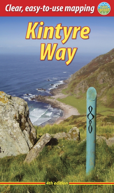
- The Kintyre Way
- The Kintyre Way opened in 2006 and is a fully waymarked trail running for 89 miles (142 km) southward from the beautiful natural harbour of Tarbert to Dunaverty, near the Mull of Kintyre. Criss-crossing the entire peninsula, you pass castles, abbeys and prehistoric remains, sometimes walking along rugged coastline, sometimes high on forestry... Lire la suite
- Also available from:
- Bol.com, Belgium
Bol.com
Belgium
2007
Belgium
2007
- The Kintyre Way
- The Kintyre Way opened in 2006 and is a fully waymarked trail running for 89 miles (142 km) southward from the beautiful natural harbour of Tarbert to Dunaverty, near the Mull of Kintyre. Criss-crossing the entire peninsula, you pass castles, abbeys and prehistoric remains, sometimes walking along rugged coastline, sometimes high on forestry... Lire la suite
Bol.com
Netherlands
Netherlands
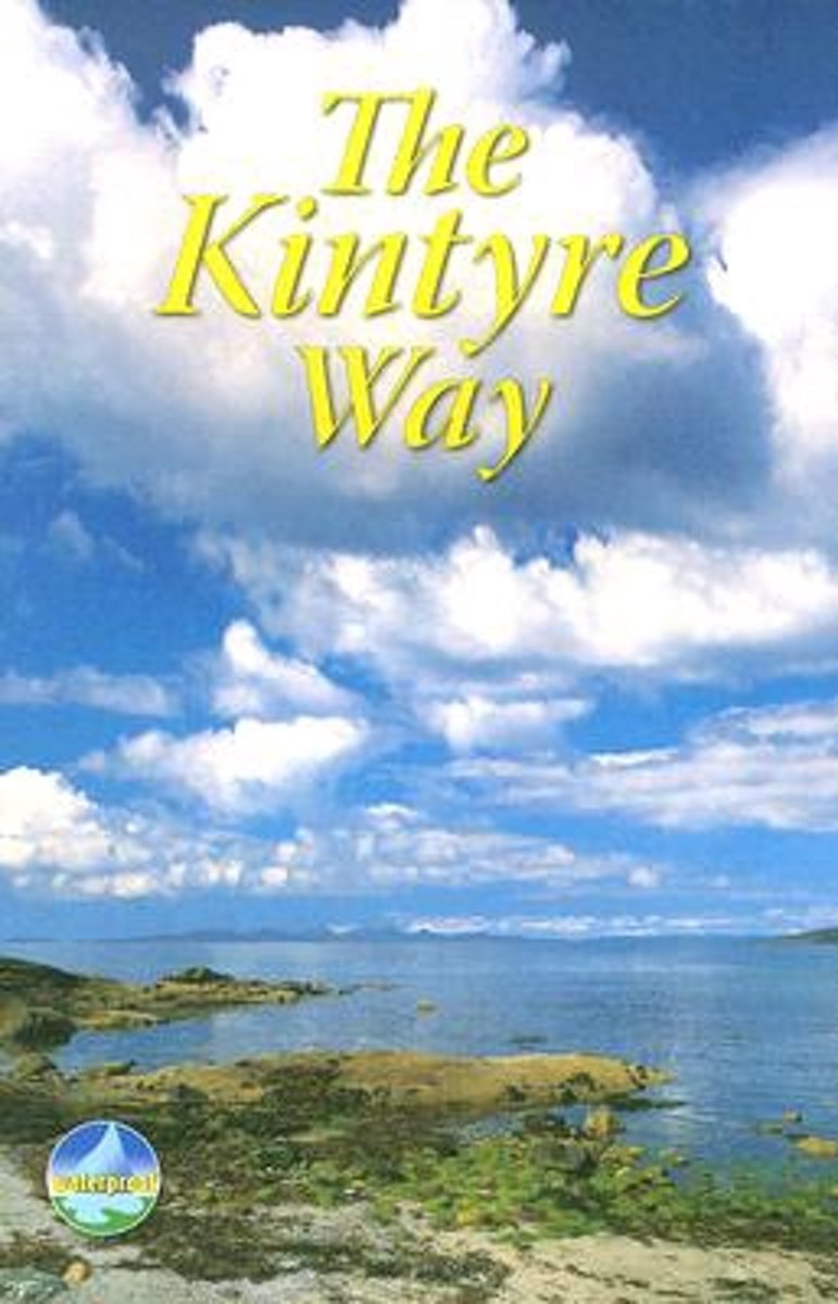
- Kintyre Way
- This fully waymarked trail runs for 89 miles southward from the beautiful natural harbour of Tarbert to Dunaverty, near the Mull of Kintyre. Criss-crossing the entire peninsula, you pass castles, abbeys and prehistoric remains, sometimes walking along rugged coastline, sometimes high on forestry tracks with glorious views over Arran, the Firth... Lire la suite
- Also available from:
- Bol.com, Belgium
Bol.com
Belgium
Belgium
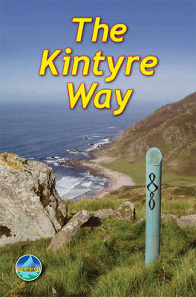
- Kintyre Way
- This fully waymarked trail runs for 89 miles southward from the beautiful natural harbour of Tarbert to Dunaverty, near the Mull of Kintyre. Criss-crossing the entire peninsula, you pass castles, abbeys and prehistoric remains, sometimes walking along rugged coastline, sometimes high on forestry tracks with glorious views over Arran, the Firth... Lire la suite
Bol.com
Netherlands
2016
Netherlands
2016
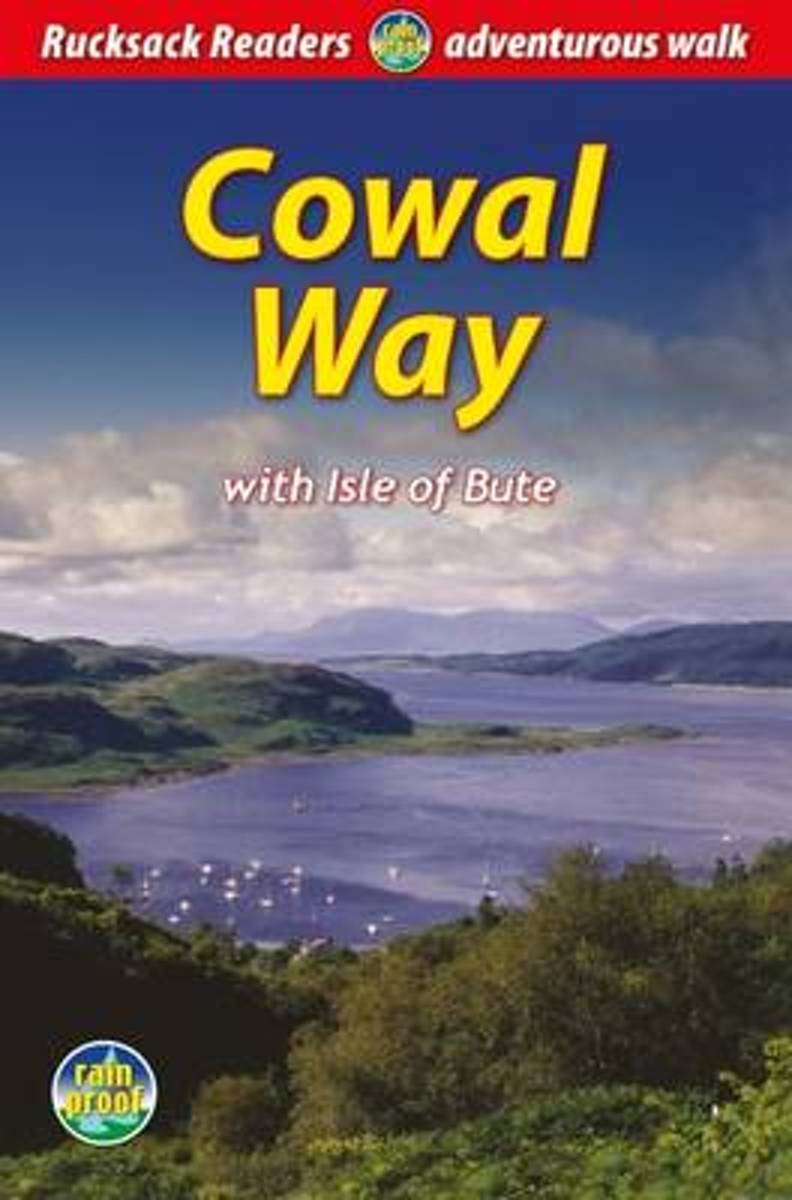
- Cowal Way
- The Cowal Way is a waymarked trail running for 57 miles (92 km) across the rugged Cowal peninsula, an unspoiled area of the Highlands just west of Glasgow. It is best walked from Portavadie on Loch Fyne to finish at Inveruglas on Loch Lomond. The Way has some rugged scenery, the walk is easily broken into manageable sections, and it offers... Lire la suite
- Also available from:
- Bol.com, Belgium
Bol.com
Belgium
2016
Belgium
2016
- Cowal Way
- The Cowal Way is a waymarked trail running for 57 miles (92 km) across the rugged Cowal peninsula, an unspoiled area of the Highlands just west of Glasgow. It is best walked from Portavadie on Loch Fyne to finish at Inveruglas on Loch Lomond. The Way has some rugged scenery, the walk is easily broken into manageable sections, and it offers... Lire la suite
Plus de livres …