
Trans Pennine Trail
Description
- Name Trans Pennine Trail
- Distance de sentier 346 km, 215 milles
- Durée en jours 16 jours
- Classement Traildino EW, Marche facile, sentier de la nature

215 miles. 325 km.
The Trans Pennine Trail is a coast-to-coast route. It's located south from Wainwright's timeless Coast to Coast Walk. It also differs in that it runs through the crowded industrial area of central England: Liverpool, Manchester, Sheffield, Leeds and Kingston upon Hull.
The 325 km, 215 miles are especially popular with cyclists, although the path is very much designed as a multi-use trail. The path is even part of the European network of trails, i.e. the E8. However, there is currently lack of experience of hikers on the internet.
What to expect? The path follows largely abandoned railways and old towpaths. It is an easy path. Parts of it are even suitable for people in wheelchairs. 70% of it is traffic-free. The trail is especially interesting for people who like to explore the results of the industrious labor of their fellow homo sapiens in past centuries.
Carte

Liens
Données
Rapports
Guides et cartes
Hébergement
Organisations
Voyagistes
GPS
Autre
Livres
Netherlands
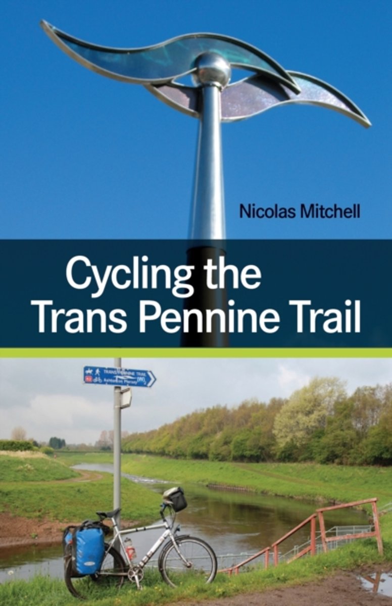
- Cycling the Trans Pennine Trail
- The Trans Pennine Trail (TPT) is one of the finest long-distance cycle rides in England, and tackling the route over four days is a marvelous mini-adventure that should appeal to all sorts of cyclists. Every stage of this 205-mile long cycle route, from Southport on Merseyside to Hornsea in East Yorkshire, is described by author Nicolas... Lire la suite
- Also available from:
- Bol.com, Belgium
Belgium
- Cycling the Trans Pennine Trail
- The Trans Pennine Trail (TPT) is one of the finest long-distance cycle rides in England, and tackling the route over four days is a marvelous mini-adventure that should appeal to all sorts of cyclists. Every stage of this 205-mile long cycle route, from Southport on Merseyside to Hornsea in East Yorkshire, is described by author Nicolas... Lire la suite
Netherlands
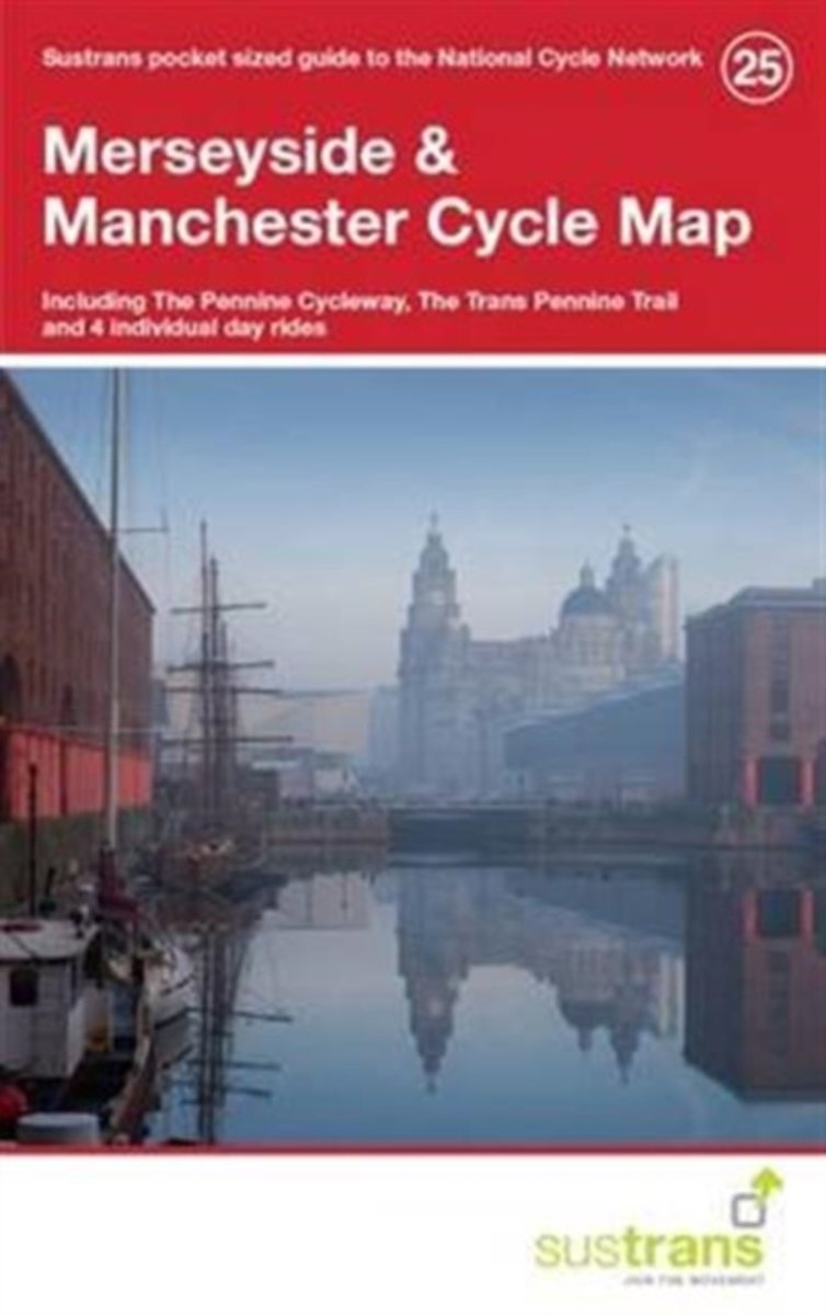
- Merseyside & Manchester Cycle Map 25
- This is in the series of pocket sized, folded maps to the National Cycle Network which include clearly mapped on-road and traffic-free paths, easy to read contours and detailed town insets. Published by Sustrans. 1:110,000 scale; folded 155mm x 99mm; flat 792mm x 630mm.Merseyside & Manchester Cycle Map - Including The Pennine Cycleway, The... Lire la suite
- Also available from:
- Bol.com, Belgium
Belgium
- Merseyside & Manchester Cycle Map 25
- This is in the series of pocket sized, folded maps to the National Cycle Network which include clearly mapped on-road and traffic-free paths, easy to read contours and detailed town insets. Published by Sustrans. 1:110,000 scale; folded 155mm x 99mm; flat 792mm x 630mm.Merseyside & Manchester Cycle Map - Including The Pennine Cycleway, The... Lire la suite
Netherlands
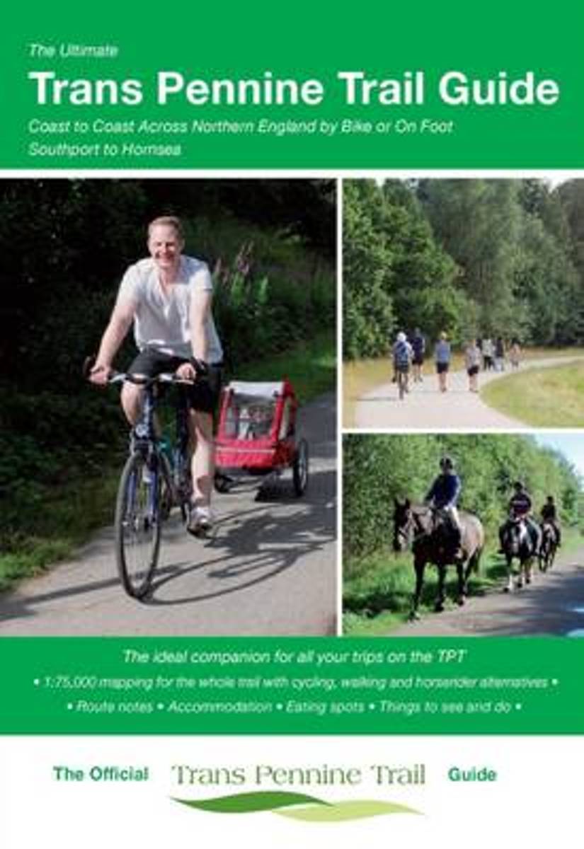
- The Ultimate Trans Pennine Trail Guide
- An entirely new guide to the Trans Pennine Trail. The hugely popular 370 miles (595km) of trail across the north of England is a big favourite with walkers and cyclists, with many sections available for horse-riders and wheelchair users. The trail is suitable for users of all ages and abilities due to its easy gradients and traffic free... Lire la suite
- Also available from:
- Bol.com, Belgium
Belgium
- The Ultimate Trans Pennine Trail Guide
- An entirely new guide to the Trans Pennine Trail. The hugely popular 370 miles (595km) of trail across the north of England is a big favourite with walkers and cyclists, with many sections available for horse-riders and wheelchair users. The trail is suitable for users of all ages and abilities due to its easy gradients and traffic free... Lire la suite
Netherlands
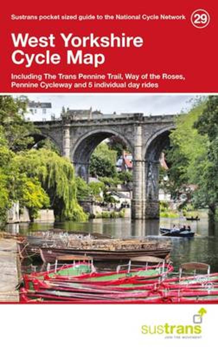
- West Yorkshire Cycle Maps 29
- This is in the series of pocket sized, folded maps to the National Cycle Network which include clearly mapped on-road and traffic-free paths, easy to read contours and detailed town insets. Published by Sustrans. 1:110,000 scale; folded 155mm x 99mm; flat 792mm x 630mm. West Yorkshire Cycle Map (29) including The Trans Pennine Trail, Way of the... Lire la suite
- Also available from:
- Bol.com, Belgium
Belgium
- West Yorkshire Cycle Maps 29
- This is in the series of pocket sized, folded maps to the National Cycle Network which include clearly mapped on-road and traffic-free paths, easy to read contours and detailed town insets. Published by Sustrans. 1:110,000 scale; folded 155mm x 99mm; flat 792mm x 630mm. West Yorkshire Cycle Map (29) including The Trans Pennine Trail, Way of the... Lire la suite
Netherlands
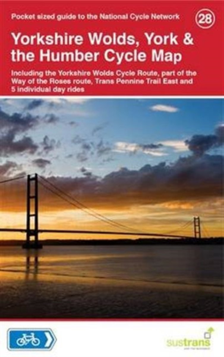
- Yorkshire Wolds, York & The Humber Cycle Map 28
- Yorkshire Wolds, York & the Humber Cycle MapThis area map is in the Sustrans series showing the National Cycle Network and local routes in this area. It covers the Yorkshire Wolds Cycle Route, part of the Way of the Roses route, Trans Pennine Trail East and 5 individual day rides. This pocket-sized colour map shows clearly mapped on-road and... Lire la suite
- Also available from:
- Bol.com, Belgium
Belgium
- Yorkshire Wolds, York & The Humber Cycle Map 28
- Yorkshire Wolds, York & the Humber Cycle MapThis area map is in the Sustrans series showing the National Cycle Network and local routes in this area. It covers the Yorkshire Wolds Cycle Route, part of the Way of the Roses route, Trans Pennine Trail East and 5 individual day rides. This pocket-sized colour map shows clearly mapped on-road and... Lire la suite
Cartes

United Kingdom
- Stara Planina Central: Zlatitsa to Kalofer Domino Map
- Stara Planina Central: Zlatitsa to Kalofer map at 1:50,000 from Bulgarian publishers Domino, contoured and GPS compatible, with hiking trails, accommodation options including a list of local mountain refuges, etc. The map is double-sided and covers the mountains from just west of Ribaritsa and Zlatitsa eastwards beyond Kalofer to the peak of... Lire la suite
- Also available from:
- De Zwerver, Netherlands

Netherlands
- Wandelkaart 1 Stara Planina gebergte | Domino
- Stara Planina Central: Zlatitsa to Kalofer map at 1:50,000 from Bulgarian publishers Domino, contoured and GPS compatible, with hiking trails, accommodation options including a list of local mountain refuges, etc. The map is double-sided and covers the mountains from just west of Ribaritsa and Zlatitsa eastwards beyond Kalofer to the peak of... Lire la suite

United Kingdom
- Stara Planina Central: Uzana to Vratnik Domino Map
- Stara Planina Central: Uzana to Vratnik map at 1:50,000 from Bulgarian publishers Domino, contoured and GPS compatible, with hiking trails, accommodation options including a list of local mountain refuges, etc. The map is double-sided and covers the mountains from just west of the Uzana massif, the geographical centre of Bulgaria, eastwards to... Lire la suite
- Also available from:
- De Zwerver, Netherlands

Netherlands
- Wandelkaart 2 Stara Planina gebergte | Domino
- Stara Planina Central: Uzana to Vratnik map at 1:50,000 from Bulgarian publishers Domino, contoured and GPS compatible, with hiking trails, accommodation options including a list of local mountain refuges, etc. The map is double-sided and covers the mountains from just west of the Uzana massif, the geographical centre of Bulgaria, eastwards to... Lire la suite

United Kingdom
- Stara Planina Western: Belogradchik to Berkovita Domino Map
- Stara Planina Western: Belogradchik to Berkovita map at 1:50,000 from Bulgarian publishers Domino, contoured and GPS compatible, with hiking trails, accommodation options including a list of local mountain refuges, etc. The map is double-sided and covers the mountains from the peak of Byala Voda near Belogradchik eastwards to just beyond... Lire la suite
- Also available from:
- De Zwerver, Netherlands

Netherlands
- Wandelkaart 3 Stara Planina gebergte | Domino
- Stara Planina Western: Belogradchik to Berkovita map at 1:50,000 from Bulgarian publishers Domino, contoured and GPS compatible, with hiking trails, accommodation options including a list of local mountain refuges, etc. The map is double-sided and covers the mountains from the peak of Byala Voda near Belogradchik eastwards to just beyond... Lire la suite

United Kingdom
- Stara Planina Western: Berkovita to Zlatitsa Domino Map
- Stara Planina Western: Berkovita to Zlatitsa map at 1:50,000 from Bulgarian publishers Domino, contoured and GPS compatible, with hiking trails, accommodation options including a list of local mountain refuges, etc. The map is double-sided and covers the mountains from Varshets (directly north of Sofia) to just beyond Etrepole.Maps in the... Lire la suite
- Also available from:
- De Zwerver, Netherlands

Netherlands
- Wandelkaart 4 Stara Planina gebergte | Domino
- Stara Planina Western: Berkovita to Zlatitsa map at 1:50,000 from Bulgarian publishers Domino, contoured and GPS compatible, with hiking trails, accommodation options including a list of local mountain refuges, etc. The map is double-sided and covers the mountains from Varshets (directly north of Sofia) to just beyond Etrepole.Maps in the... Lire la suite

United Kingdom
- Rila Mountains Domino
- Rila Mountains at 1:50,000 on a large, double-sided, contoured map with GPS waypoints for shelters and chalets, peaks, etc. and highlighting hiking routes. Topography is shown by contours at 50m intervals with additional relief shading and graphics and colouring for scree, single rocks over 5m high, marshlands and pine scrub and forests. An... Lire la suite
- Also available from:
- De Zwerver, Netherlands

Netherlands
- Wandelkaart 5 Rila gebergte | Domino
- Rila Mountains at 1:50,000 on a large, double-sided, contoured map with GPS waypoints for shelters and chalets, peaks, etc. and highlighting hiking routes. Topography is shown by contours at 50m intervals with additional relief shading and graphics and colouring for scree, single rocks over 5m high, marshlands and pine scrub and forests. An... Lire la suite

United Kingdom
- Pirin Mountains Domino
- Pirin Mountains at 1:50,000 on a large, double-sided, contoured map with GPS waypoints for shelters and chalets, peaks, etc. and highlighting hiking routes. Topography is shown by contours at 40m intervals with additional relief shading and graphics and colouring for sandstone stacks, single rocks over 5m high, marshlands and different types of... Lire la suite
- Also available from:
- De Zwerver, Netherlands

Netherlands
- Wandelkaart 6 Pirin gebergte | Domino
- Pirin Mountains at 1:50,000 on a large, double-sided, contoured map with GPS waypoints for shelters and chalets, peaks, etc. and highlighting hiking routes. Topography is shown by contours at 40m intervals with additional relief shading and graphics and colouring for sandstone stacks, single rocks over 5m high, marshlands and different types of... Lire la suite

United Kingdom
- Western Rhodope Mountains Domino Map
- Western Rhodope Mountains at 1:100,000 on a contoured GPS compatible map from Domino extending from just west of the Pirin National Park to Asenovgrad in the north-east. The map is double-sided with a good overlap between the sides. Topography is shown by contours at 50m intervals with relief shading and spot heights, plus colouring for... Lire la suite
- Also available from:
- De Zwerver, Netherlands

Netherlands
- Wandelkaart - Wegenkaart - landkaart 7 Westelijke Rhodopen - Western Rhodopes | Domino
- Western Rhodope Mountains at 1:100,000 on a contoured GPS compatible map from Domino extending from just west of the Pirin National Park to Asenovgrad in the north-east. The map is double-sided with a good overlap between the sides. Topography is shown by contours at 50m intervals with relief shading and spot heights, plus colouring for... Lire la suite
Netherlands
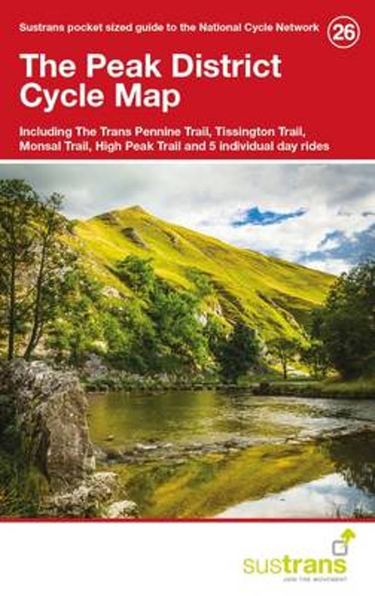
- Peak District Cycle Map 26
- This is in the series of pocket sized, folded maps to the National Cycle Network which include clearly mapped on-road and traffic-free paths, easy to read contours and detailed town insets. Published by Sustrans. The Peak District Cycle Map (26) including The Trans Pennine Trail, Tissington Trail, Monsal Trail, High Peak Trail and 5 individual... Lire la suite
- Also available from:
- Bol.com, Belgium
Belgium
- Peak District Cycle Map 26
- This is in the series of pocket sized, folded maps to the National Cycle Network which include clearly mapped on-road and traffic-free paths, easy to read contours and detailed town insets. Published by Sustrans. The Peak District Cycle Map (26) including The Trans Pennine Trail, Tissington Trail, Monsal Trail, High Peak Trail and 5 individual... Lire la suite