Banff National Park
Description
National Park in the Canadian Rocky Mountains.
Sentiers de cette région
Liens
Données
Rapports
Guides et cartes
Hébergement
Organisations
Voyagistes
GPS
Autre
Livres

Stanfords
United Kingdom
United Kingdom
- DK Eyewitness Travel Guide Canada
- DK Eyewitness travel guides: award-winning guidebooksDiscover Canada with this essential travel guide, designed to help you create your own unique trip and to transport you to this incredible country before you`ve even packed your case - marvel at the magnificent thundering waterfalls of Niagara Falls, hike through spectacular scenery in Banff... Lire la suite

Stanfords
United Kingdom
2008
United Kingdom
2008
- 50 Walks and Hikes in Banff National Park
- Hiking in Banff National Park attracts millions of visitors each year. In this book, Brian Patton and Bart Robinson, authors of the best-selling Canadian Rockies Trail Guide, detail their favourite easy walks, short hikes, and day trips in one of the world’s most spectacular national parks. Each trail is described in detail and accompanied by... Lire la suite

Stanfords
United Kingdom
United Kingdom
- Kootenay National Park Gem Trek Map
- Kootenay National Park in the Canadian Rockies at 1:100,000 on a contoured and GPS compatible, waterproof and tear-resistant map from Gem Trek Publishing, highlighting hiking trails, recreational areas, accommodation options, etc, plus on the reverse extensive tourist information including descriptions of recommended routes.The map provides a... Lire la suite

Stanfords
United Kingdom
United Kingdom
- Best of Canmore Gem Trek
- Best of Camnore, a contoured and GPS compatible, waterproof and tear-resistant map/guide at 1:35,000 from Gem Trek, designed for people who are only going to be in Camnore for one to three days and want to know the highlights. On one side is a detailed, relief-shaded topographic map of the Canmore area, covering Canmore Nordic Centre Provincial... Lire la suite

Stanfords
United Kingdom
United Kingdom
- Banff, Huntly, Portsoy & Turriff OS Landranger Active Map 29 (waterproof)
- Waterproof and tear-resistant OS Active version of map No. 29 from the Ordnance Survey’s Landranger series at 1:50,000, with contoured and GPS compatible topographic mapping plus tourist information.MOBILE DOWNLOADS: As well as the physical edition of the map, each Landranger title now includes a code for downloading after purchase its digital... Lire la suite
- Also available from:
- The Book Depository, United Kingdom


The Book Depository
United Kingdom
2021
United Kingdom
2021
- Moon Best of Glacier, Banff & Jasper (First Edition)
- Make the Most of One to Three Days in the Parks Lire la suite


Stanfords
United Kingdom
2015
United Kingdom
2015
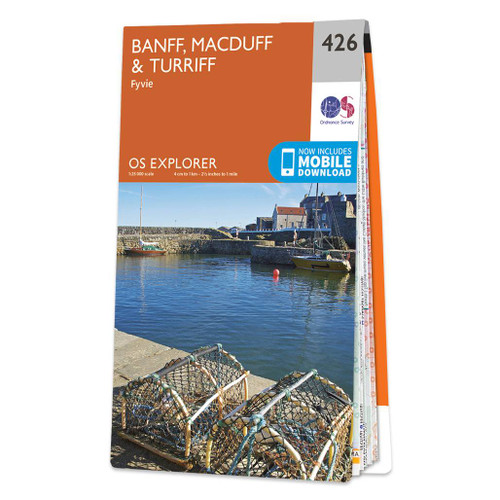
- Banff, Macduff & Turriff - Fyvie OS Explorer Map 426 (paper)
- Banff, Macduff, Turriff and Fyvie area on a detailed topographic and GPS compatible map No. 426, paper version, from the Ordnance Survey’s 1:25,000 Explorer series. MOBILE DOWNLOADS: this title and all the other OS Explorer maps include a code for downloading after purchase the digital version onto your smartphone or tablet for viewing on the... Lire la suite
- Also available from:
- The Book Depository, United Kingdom
- De Zwerver, Netherlands

De Zwerver
Netherlands
2015
Netherlands
2015

The Book Depository
United Kingdom
2022
United Kingdom
2022
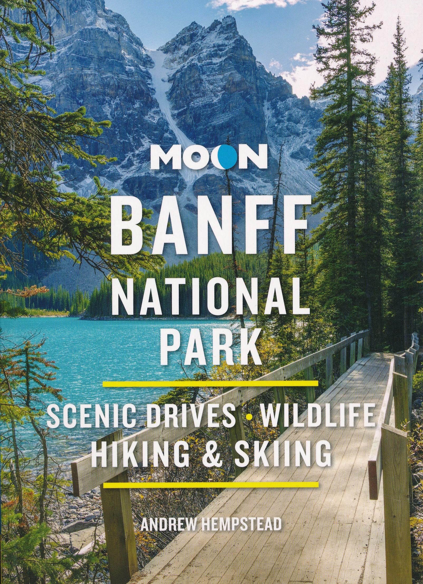
- Moon Banff National Park (Fourth Edition)
- Scenic Drives, Wildlife, Hiking & Skiing Lire la suite
- Also available from:
- De Zwerver, Netherlands
De Zwerver
Netherlands
2022
Netherlands
2022
- Reisgids Banff National Park | Moon Travel Guides
- Scenic Drives, Wildlife, Hiking & Skiing Lire la suite

Stanfords
United Kingdom
United Kingdom
- Banff, Macduff & Turriff - Fyvie OS Explorer Active Map 426 (waterproof)
- Banff, Macduff, Turriff and Fyvie area on a detailed topographic and GPS compatible map No. 426, waterproof version, from the Ordnance Survey’s 1:25,000 Explorer series. MOBILE DOWNLOADS: this title and all the other OS Explorer maps include a code for downloading after purchase the digital version onto your smartphone or tablet for viewing on... Lire la suite
- Also available from:
- The Book Depository, United Kingdom

Bol.com
Netherlands
Netherlands
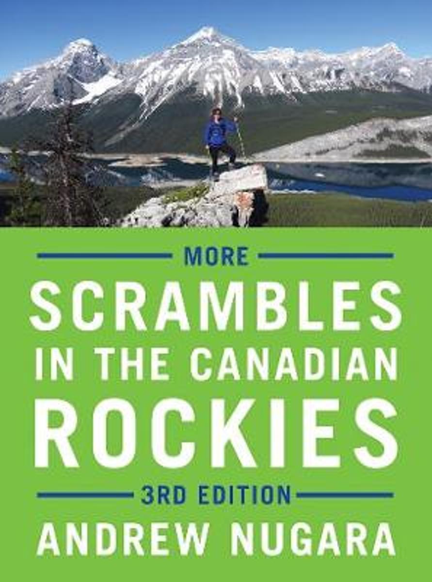
- More Scrambles in the Canadian Rockies
- Thoroughly updated, expanded and redesigned, this bestselling, full-colour guide to scrambling contains dozens of new trips for experienced hikers looking for more challenging routes to the top of a mountain.The third edition of More Scrambles in the Canadian Rockies contains 39 new routes, in addition to updates to some of the 114 featured in... Lire la suite
- Also available from:
- Bol.com, Belgium
Bol.com
Belgium
Belgium
- More Scrambles in the Canadian Rockies
- Thoroughly updated, expanded and redesigned, this bestselling, full-colour guide to scrambling contains dozens of new trips for experienced hikers looking for more challenging routes to the top of a mountain.The third edition of More Scrambles in the Canadian Rockies contains 39 new routes, in addition to updates to some of the 114 featured in... Lire la suite
Bol.com
Netherlands
Netherlands
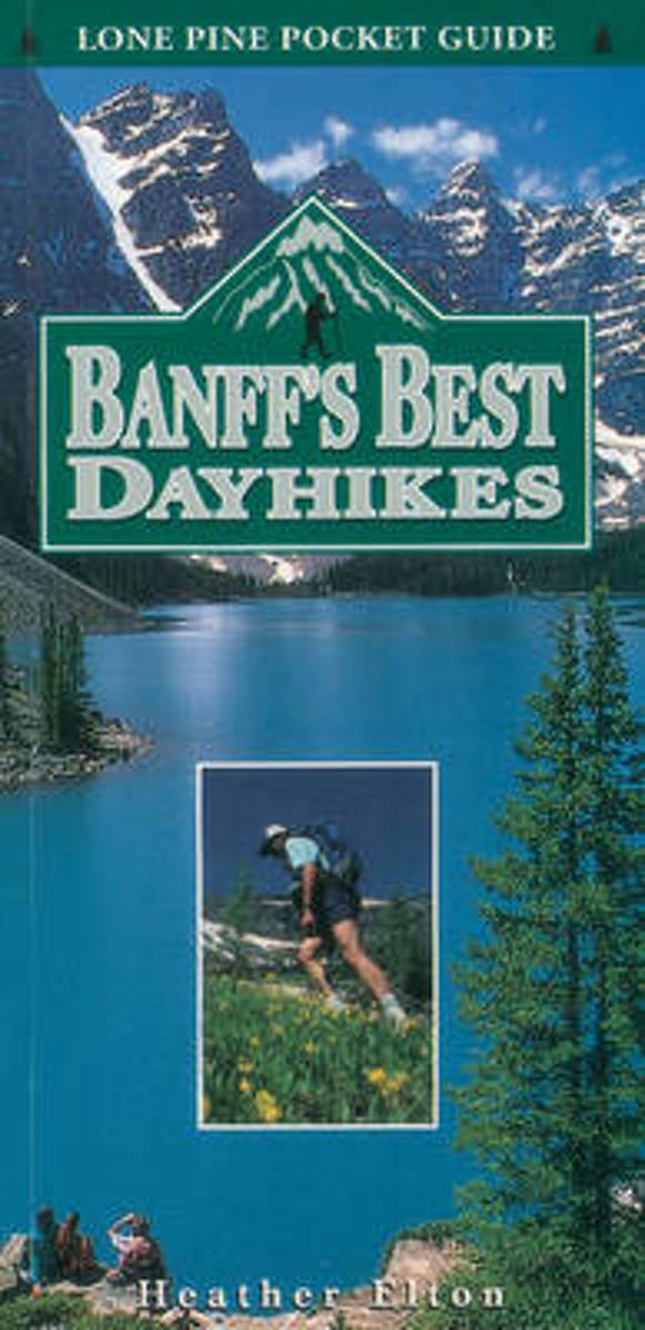
- Banff's Best Dayhikes
- The hikes featured are the best of what can be seen surrounding the townsite of Banff in Canada's National Park. The best trails, their length, elevation, features and estimated hiking times are included. Lire la suite
- Also available from:
- Bol.com, Belgium
Bol.com
Belgium
Belgium
- Banff's Best Dayhikes
- The hikes featured are the best of what can be seen surrounding the townsite of Banff in Canada's National Park. The best trails, their length, elevation, features and estimated hiking times are included. Lire la suite
Bol.com
Netherlands
2017
Netherlands
2017
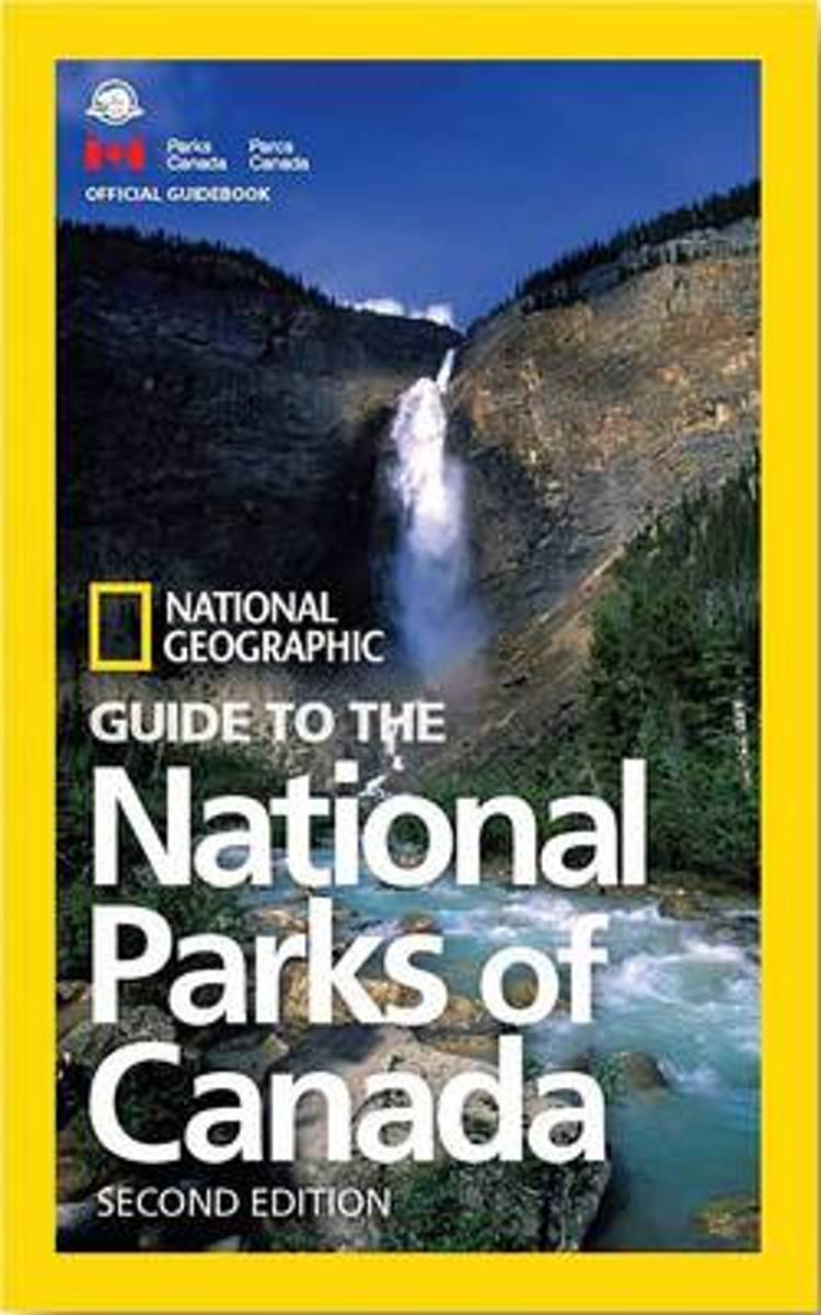
- NG Guide to the National Parks of Canada, 2nd Edition
- This completely updated guidebook shows you how to make the most out of your visit to Canada's 47 gorgeous national parks, just in time for Canada's 150th birthday--from Cape Breton Highlands to Banff to Pacific Rim National Park Preserve, plus the five newest additions: Naats'ihch'oh National Park Reserve, Mealy Mountains, Rouge Urban,... Lire la suite
- Also available from:
- Bol.com, Belgium
- De Zwerver, Netherlands
Bol.com
Belgium
2017
Belgium
2017
- NG Guide to the National Parks of Canada, 2nd Edition
- This completely updated guidebook shows you how to make the most out of your visit to Canada's 47 gorgeous national parks, just in time for Canada's 150th birthday--from Cape Breton Highlands to Banff to Pacific Rim National Park Preserve, plus the five newest additions: Naats'ihch'oh National Park Reserve, Mealy Mountains, Rouge Urban,... Lire la suite
De Zwerver
Netherlands
2017
Netherlands
2017
- Reisgids National Parks of Canada | National Geographic
- Per provincie worden de parken helder beschreven en aangevuld met duidelijke kaarten en prachtige foto's zoals we van National Geographic gewend zijn levert dit een complete gids op. This completely updated guidebook shows you how to make the most out of your visit to Canada's 47 gorgeous national parks, just in time for Canada's 150th... Lire la suite
Bol.com
Netherlands
Netherlands
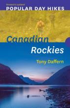
- Popular Day Hikes 2
- Featuring a fresh design and the most recent route updates, Popular Day Hikes is a series of bestselling books written for visitors and locals looking to hike scenic trails from well-established staging areas.Popular Day Hikes 2 covers 37 popular, accessible trails in one of the world s most stunningly beautiful natural environments. Featuring... Lire la suite
- Also available from:
- Bol.com, Belgium
Bol.com
Belgium
Belgium
- Popular Day Hikes 2
- Featuring a fresh design and the most recent route updates, Popular Day Hikes is a series of bestselling books written for visitors and locals looking to hike scenic trails from well-established staging areas.Popular Day Hikes 2 covers 37 popular, accessible trails in one of the world s most stunningly beautiful natural environments. Featuring... Lire la suite
Bol.com
Netherlands
2017
Netherlands
2017
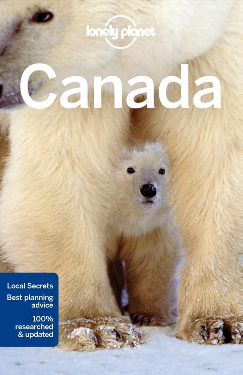
- Lonely Planet Canada
- Lonely Planet: The world's leading travel guide publisher Lonely Planet Canada is your passport to the most relevant, up-to-date advice on what to see and skip, and what hidden discoveries await you. Hike the Rockies, marvel at the Northern Lights, or indulge in cultural delights from Montreal's cafe culture to the island villages of Haida... Lire la suite
- Also available from:
- Bol.com, Belgium
Bol.com
Belgium
2017
Belgium
2017
- Lonely Planet Canada
- Lonely Planet: The world's leading travel guide publisher Lonely Planet Canada is your passport to the most relevant, up-to-date advice on what to see and skip, and what hidden discoveries await you. Hike the Rockies, marvel at the Northern Lights, or indulge in cultural delights from Montreal's cafe culture to the island villages of Haida... Lire la suite
Cartes

Stanfords
United Kingdom
United Kingdom
- Kootenay Rockies - Calgary and Northern Montana Back Road Atlas
- South-eastern British Columbia with the adjoining regions of Alberta including the Banff and Jasper NP plus the border area of Montana with the Glacier NP presented at 1:250,000 in an A4 paperback road atlas with additional street plans, a listing of local events, etc.Mapping at 1:250,000 covers the areas indicated on our coverage image.... Lire la suite

Stanfords
United Kingdom
United Kingdom
- British Columbia - Alberta FastTrack
- British Columbia and Alberta, including the Banff and Jasper National Parks, on an indexed, double-sided road map presenting both provinces together at 1:2,000,000, plus more detailed mapping of the region’s main urban areas including Vancouver, Victoria, Calgary, etc.On one side both provinces are shown together at 1:2m with their road network... Lire la suite

Stanfords
United Kingdom
United Kingdom
- British Columbia FastTrack
- British Columbia, with coverage extending to Calgary to include the Banff and Jasper National Parks, on an indexed, waterproof and tear-resistant, handy size FastTrack map, presenting the whole province on two overlapping panels at 1:2,000,000, with more detailed enlargements and street plans covering the Vancouver at 1:1,275,000, the Victoria... Lire la suite

Stanfords
United Kingdom
United Kingdom
- Alberta Pocket Road Atlas
- Pocket road atlas of Alberta presenting the whole province at 1:1,325,000, with numerous enlargement showing in more detail most visited areas, including Banff, Jasper, Canmore, Calgary, Edmonton, etc. The index includes a listing of the province’s national and provincial parks.Road network indicates loose surface and unimproved roads, showing... Lire la suite

Stanfords
United Kingdom
United Kingdom
- Calgary & Southern Alberta Street Atlas
- Street atlas of Calgary and Southern Alberta, Aidrie, Banff, Beiseker, Black Diamond, Bragg Creek, Brooks, Canmore, Chestermere, Coaldale, Cochrane, Crowsnest Pass, Crossfield, Drumheller, High River, Innisfail, Irricana, Lake Louise, Medicin Hat, Okotoks, Olds, Red Deer, Redwood Meadows, Strathmore, Taber and Turner Valley. The atlas is part... Lire la suite

Stanfords
United Kingdom
United Kingdom
- British Columbia - Alberta MapArt
- British Columbia and Alberta, including the Banff and Jasper National Parks, on an indexed, double-sided road map presenting both provinces together at 1:2,000,000, plus more detailed mapping of the region’s main urban areas including Vancouver, Victoria, Calgary, etc.On one side both provinces are shown together at 1:2m with their road network... Lire la suite

Stanfords
United Kingdom
United Kingdom
- Alberta & Saskatchewan
- Alberta, including the Banff and Jasper National Parks, and Saskatchewan on an indexed road map presenting both provinces at 1:1,850,000, each accompanied by several street maps of their main cities, including detailed plans of downtown Calgary, Edmonton, Regina and Saskatoon.On one side is a road map of Alberta with coverage extending within... Lire la suite

Stanfords
United Kingdom
United Kingdom
- Alberta MapArt
- Alberta, including the Banff and Jasper National Parks, on an indexed road map at 1:1,500,000 accompanied by several street maps of its main cities, including plans of Calgary, Edmonton and the holiday resorts of Banff, Jasper and Canmore.The road map shows Alberta at 1:1,500,000 prominently highlighting its numerous national and provincial... Lire la suite

Stanfords
United Kingdom
United Kingdom
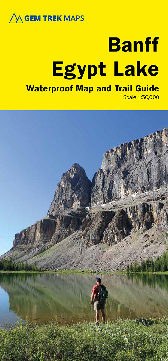
- Banff - Egypt Lake Gem Trek
- Banff - Egypt Lake, a contoured and GPS compatible map at 1:50,000 from Gem Trek of the main hiking area in the Banff National Park, with coverage around Banff itself, including trails eastwards to Lake Minnewanka and Johnson, and extending westwards across the state border to include parts of Kootenay NP and Mt. Assiniboine Provincial Park.... Lire la suite

Stanfords
United Kingdom
United Kingdom
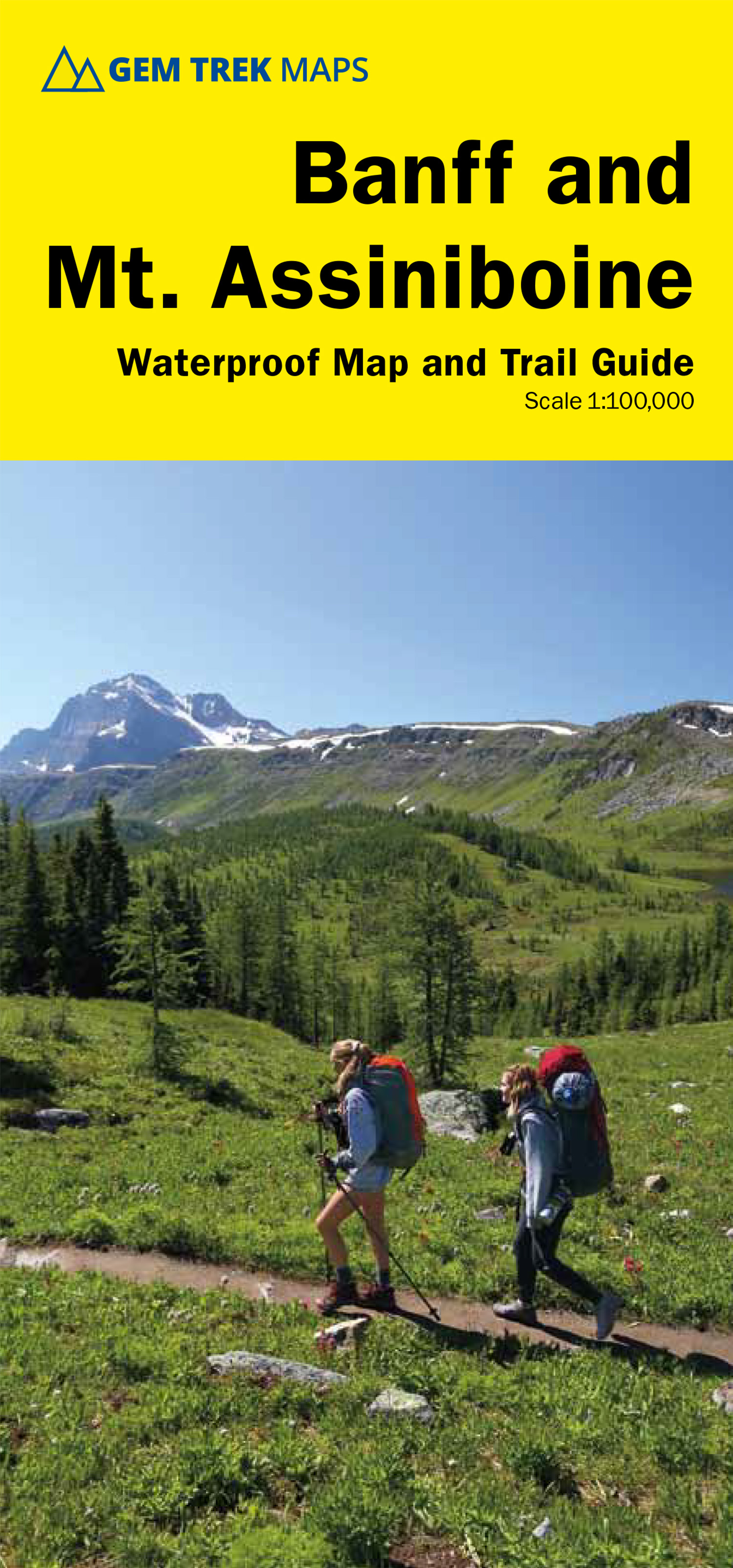
- Banff & Mount Assiniboine Gem Trek
- Banff - Mount Assiniboine area at 1:100,000 on a light, waterproof and tear-resistant map from Gem Trek Publishing in their series of detailed hiking maps of the Canadian Rockies. On the reverse are descriptions of several day hikes and overnight trips, plus plenty of other tourist information.The map covers the most popular hiking and mountain... Lire la suite
- Also available from:
- De Zwerver, Netherlands
De Zwerver
Netherlands
Netherlands
- Wandelkaart 05 Banff National Park and Mt. Assiniboine | Gem Trek Maps
- Banff - Mount Assiniboine area at 1:100,000 on a light, waterproof and tear-resistant map from Gem Trek Publishing in their series of detailed hiking maps of the Canadian Rockies. On the reverse are descriptions of several day hikes and overnight trips, plus plenty of other tourist information.The map covers the most popular hiking and mountain... Lire la suite

Stanfords
United Kingdom
United Kingdom
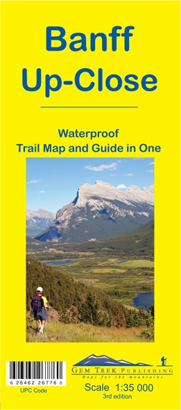
- Banff Up-Close Gem Trek
- Banff town and the surrounding area on a contoured and GPS compatible, waterproof and tear-resistant map/guide at 1:35,000 from Gem Trek, designed for people who are only going to be in Banff for one to three days and want to know the highlights. On one side is a detailed, topographic map of the Banff village area, from the Sundance and Sulphur... Lire la suite
- Also available from:
- De Zwerver, Netherlands
De Zwerver
Netherlands
Netherlands
- Wandelkaart 11 Banff Up-Close | Gem Trek Maps
- Gem Trek Map-Guides Banff Up-Close (11) - This map-and-guide-in-one is designed for people who are only going to be in Banff for one to three days, and want to know what the highlights are and how to find them.On the front is a detailed relief-shaded topographic map of the Banff townsite area, from the Sundance and Sulphur Mountain areas in the... Lire la suite

Stanfords
United Kingdom
United Kingdom
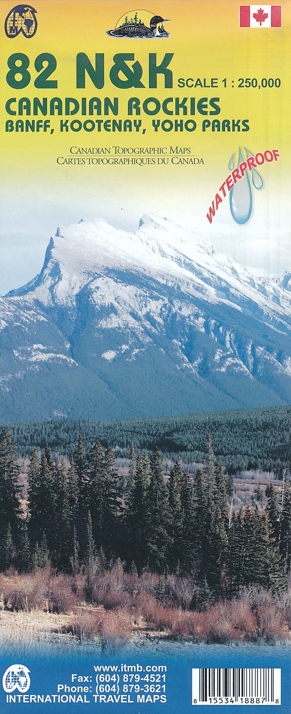
- Canadian Rockies - Banff - Kootenay - Yoho Parks ITMB
- Canadian Rockies: Banff, Kootenay and Yoho National Parks at 1:250,000 in a series of topographic survey maps of selected areas of British Columbia and the Canadian Rockies from ITMB with cartography from Canada’s national survey organization. Most sheets are printed on light, waterproof and tear- resistant plastic paper.Whilst the Canadian... Lire la suite
- Also available from:
- De Zwerver, Netherlands
De Zwerver
Netherlands
Netherlands
- Topografische kaart 82 N&K Canadian Rockies Banff, Kootenay, Yoho Parks | ITMB
- 1:250,000 scale, 1st Edition, 2008 – This is a fabulous map. The artwork consists of four complete Govt. of Canada Topographic maps (82J, K, N, and O) overprinted with hundreds of touristic attractions – camping sites, hiking trails, canoeing areas, wilderness lodges, youth hostels, golf courses – you name it, it's there. Coverage is from... Lire la suite

Stanfords
United Kingdom
United Kingdom
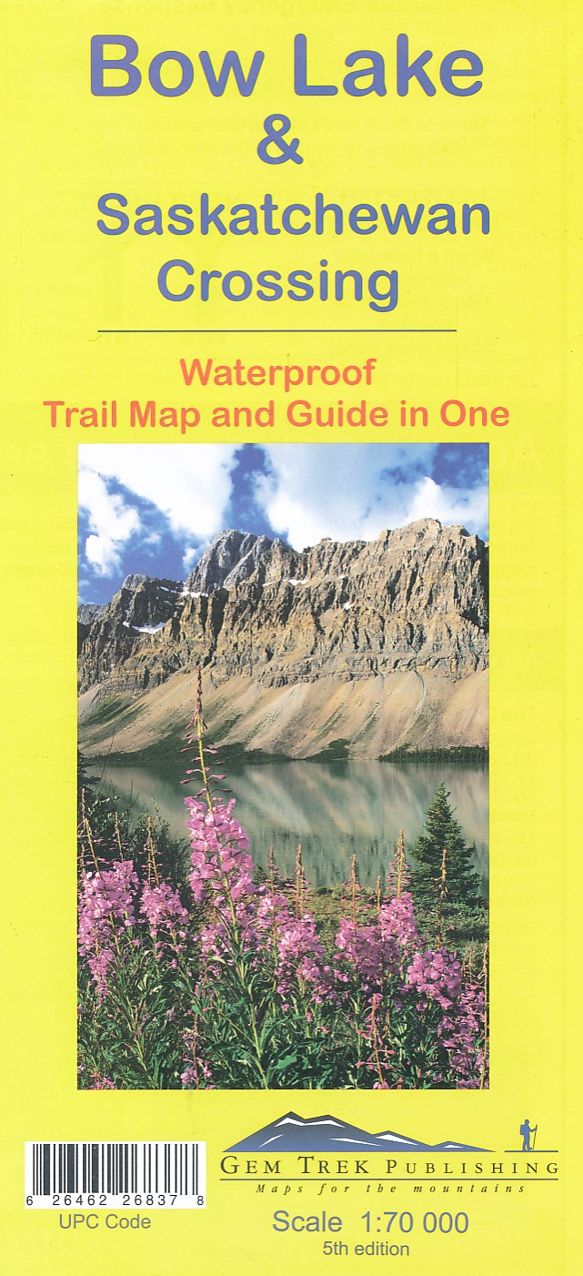
- Bow Lake & Saskatchewan Crossing Gem Trek Map
- Bow Lake - Saskatchewan Crossing region of the Canadian Rockies on a contoured and GPS compatible map at 1:70,000 from Gem Trek with an extension at 1:100,000 to include the Mosquito Creek – Fish Lakes area, plus extensive tourist information on recommended hikes, etc.The map shows trails departing from the southern section of the Icefields... Lire la suite
- Also available from:
- De Zwerver, Netherlands
De Zwerver
Netherlands
Netherlands
- Wandelkaart 03 Bow Lake and Saskatchewan Crossing | Gem Trek Maps
- Bow Lake - Saskatchewan Crossing region of the Canadian Rockies on a contoured and GPS compatible map at 1:70,000 from Gem Trek with an extension at 1:100,000 to include the Mosquito Creek – Fish Lakes area, plus extensive tourist information on recommended hikes, etc.The map shows trails departing from the southern section of the Icefields... Lire la suite
Plus de cartes …