
Laurentian Mountains
Description
A mountain range in southern Quebec, Canada. Highest point is Mont Raoul Blanchard, 1166 metres (3,825 feet).
Sentiers de cette région
Liens
Données
Rapports
Guides et cartes
Hébergement
Organisations
Voyagistes
GPS
Autre
Livres

- Also available from:
- Bol.com, Netherlands
- Bol.com, Belgium
Bol.com
Netherlands
Netherlands
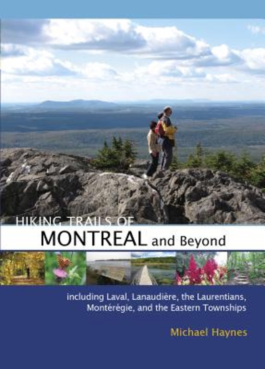
- Hiking Trails of Montr?al and Beyond
- Featuring 50 hiking routes within 150 km of Montreal, this handy guide explores trails within the city and in the adjacent Laurentides, Lanaudiere, Monteregie, and Cantons-de-l'Est regions. Michael Haynes hiked and mapped each of the 50 trails, and in this handy guide, he provides detailed maps, trail descriptions, and GPS coordinates, as well... Lire la suite
Bol.com
Belgium
Belgium
- Hiking Trails of Montr?al and Beyond
- Featuring 50 hiking routes within 150 km of Montreal, this handy guide explores trails within the city and in the adjacent Laurentides, Lanaudiere, Monteregie, and Cantons-de-l'Est regions. Michael Haynes hiked and mapped each of the 50 trails, and in this handy guide, he provides detailed maps, trail descriptions, and GPS coordinates, as well... Lire la suite
Cartes

Stanfords
United Kingdom
United Kingdom
- Outaouais - Laurentides - Abitibi Street Atlas
- Street atlas of the Laurentide, Outaouais and Abitibi area, including Angers, Aylmer, Bellefeuille, Buckingham, Chelsea, Connaught Gardens, Deleage, Des Ruisseaux, Domaine-Raymond, Gatineau, Hull, Rouyn-Noranda, Ste Agathe, St Jerome, Ste Therese, Val d`Or and other locations. The atlas is part of an extensive coverage of Canadian cities and... Lire la suite