Rideau Trail
Description
- Name Rideau Trail
- Distance de sentier 385 km, 239 milles
- Durée en jours 21 jours
- Début de sentier Ottawa
- Fin de sentier Kingston
- Classement Traildino MW, Marche modérée, sentier de randonnée
- Classement Traversée de montagne T1, Randonnée
Ottawa - Kingston, 200 km + 185 km side trails
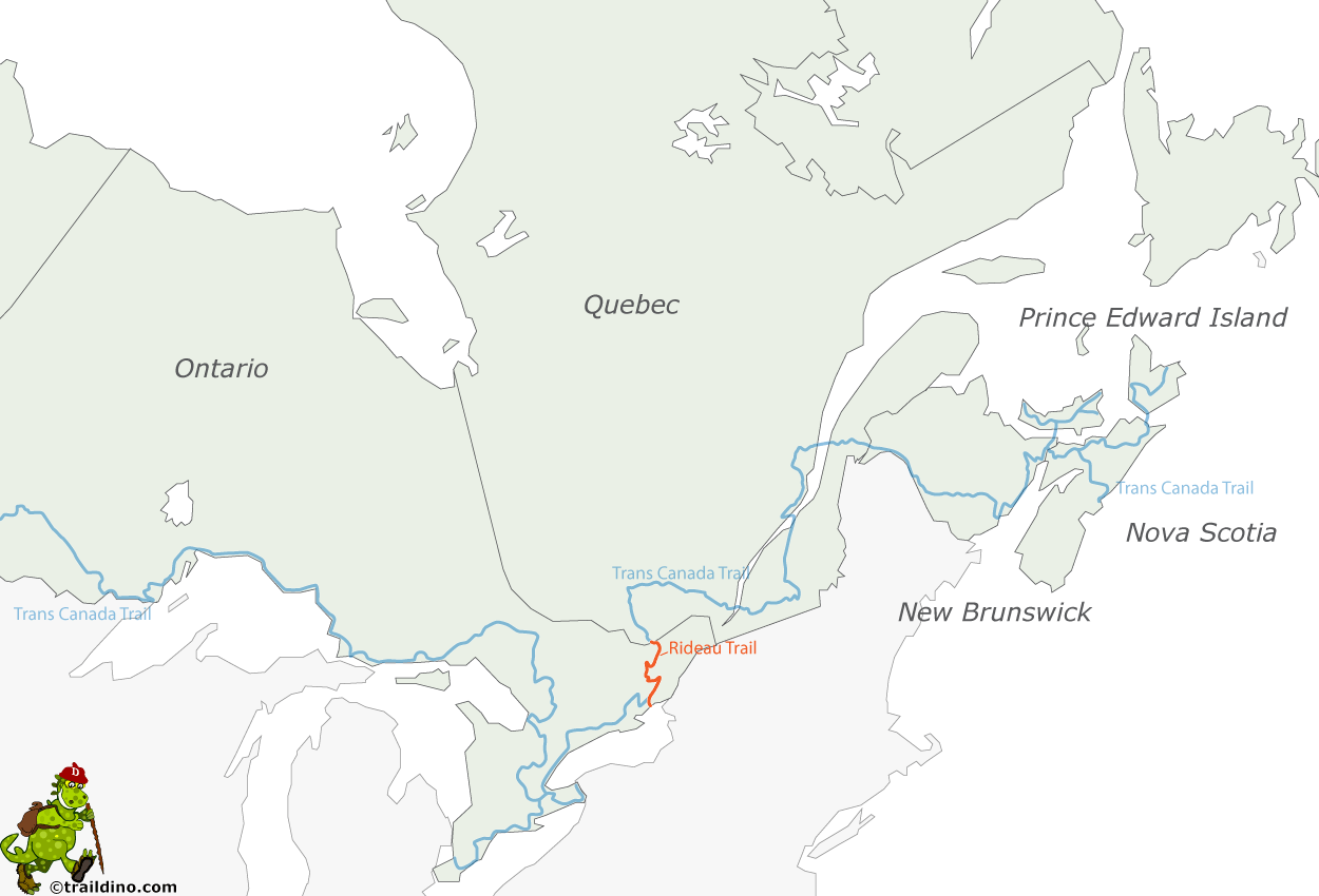
The Rideau Trail is a 387 km hiking trail in Ontario, also open for showshoeing and cross country skiing. It links Ottawa and Kingston, which is the main 200 km section of the trail system.
The name of the trail is derived from the Rideau Canal, although the hiking trail does not closely follow this waterway.
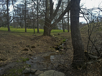
You will hike through farmland, sometimes over rural roads, but also through rugged terrain in the Frontenac Provincial Park.
Select some tracks


