
King Range National Conservation Area
Description
Sentiers de cette région
Liens
Données
Rapports
Guides et cartes
Hébergement
Organisations
Voyagistes
GPS
Autre
Livres
Bol.com
Netherlands
Netherlands
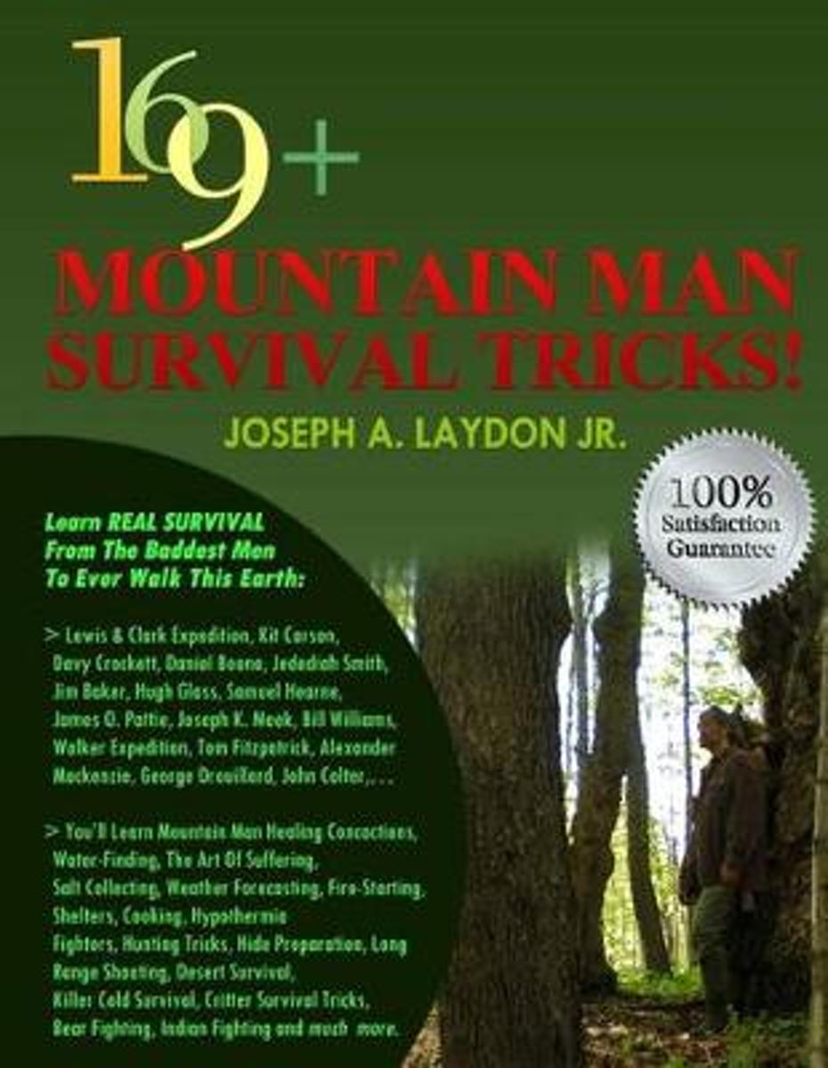
- 169+ Mountain Man Survival Tricks!
- 169+ Mountain Man Survival Tricks My name is Joseph A. Laydon Jr. and stay with me through this DESCRIPTION cause whether you get this Book or not, I m here to help you out. So at the end of this DESCRIPTION, I LL GIVE YOU ONE OF THESE 169+ Mountain Man Survival Tricks so you re ready Anytime Anywhere!! Fair enough! OK then.Some of the... Lire la suite
- Also available from:
- Bol.com, Belgium
Bol.com
Belgium
Belgium
- 169+ Mountain Man Survival Tricks!
- 169+ Mountain Man Survival Tricks My name is Joseph A. Laydon Jr. and stay with me through this DESCRIPTION cause whether you get this Book or not, I m here to help you out. So at the end of this DESCRIPTION, I LL GIVE YOU ONE OF THESE 169+ Mountain Man Survival Tricks so you re ready Anytime Anywhere!! Fair enough! OK then.Some of the... Lire la suite

Stanfords
United Kingdom
United Kingdom
- Big Sur - Ventana Wilderness - Los Padres National Forest CA
- Map No. 814, Angeles National Forest, CA, in an extensive series of GPS compatible, contoured hiking maps of USA’s national and state parks or forests and other popular recreational areas. Cartography based on the national topographic survey, with additional tourist information.The maps, with most titles now printed on light, waterproof and... Lire la suite
- Also available from:
- Bol.com, Netherlands
- Bol.com, Belgium

Bol.com
Netherlands
Netherlands
- Big Sur/ventana Wilderness - Los Padres National Forest
- Waterproof Tear-Resistant Topographic MapNational Geographic's Trails Illustrated map of Big Sur / Ventana Wilderness - Los Padres National Forest is a two-sided, waterproof map designed to meet the needs of outdoor enthusiasts with unmatched durability and detail. This map was created in conjunction with local land management agencies... Lire la suite
Bol.com
Belgium
Belgium
- Big Sur/ventana Wilderness - Los Padres National Forest
- Waterproof Tear-Resistant Topographic MapNational Geographic's Trails Illustrated map of Big Sur / Ventana Wilderness - Los Padres National Forest is a two-sided, waterproof map designed to meet the needs of outdoor enthusiasts with unmatched durability and detail. This map was created in conjunction with local land management agencies... Lire la suite
Bol.com
Netherlands
Netherlands
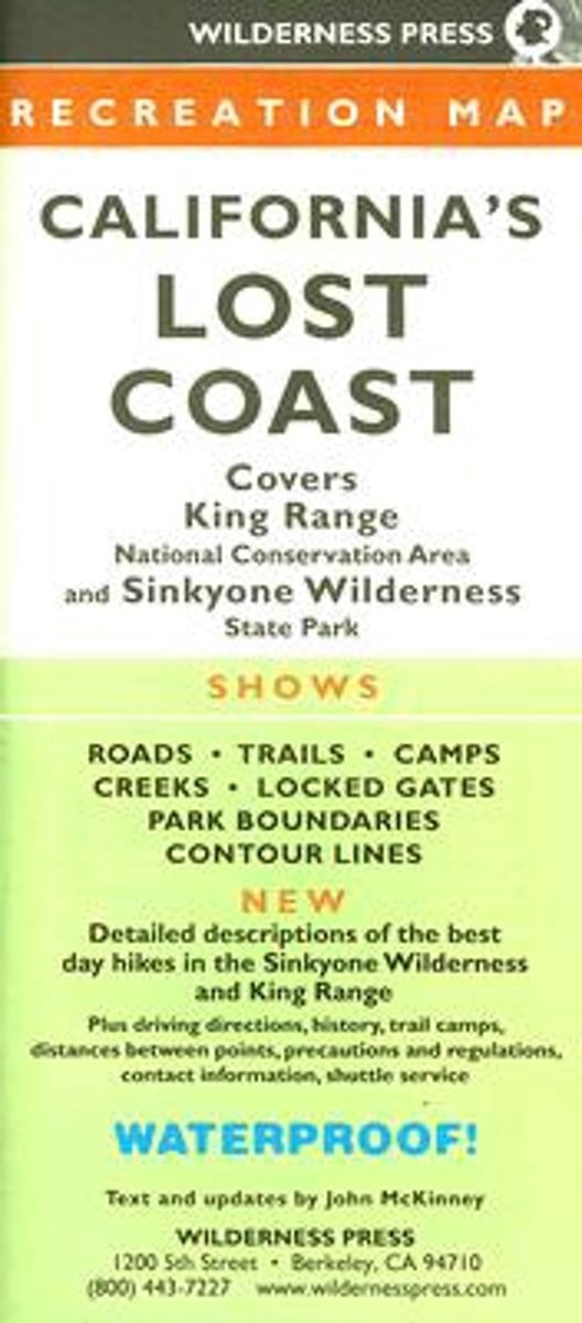
- MAP Californias Lost Coast Rec
- Covers King Range National Conservation Area and Sinkyone Wilderness State Park. Shows all roads, trails, camps, creeks, and locked gates in the area, and includes driving directions, trail mileages, campground details, precautions, and regulation. This new edition highlights the best day hikes in the King Range and Sinkyone Wilderness. Lire la suite
- Also available from:
- Bol.com, Belgium
Bol.com
Belgium
Belgium
- MAP Californias Lost Coast Rec
- Covers King Range National Conservation Area and Sinkyone Wilderness State Park. Shows all roads, trails, camps, creeks, and locked gates in the area, and includes driving directions, trail mileages, campground details, precautions, and regulation. This new edition highlights the best day hikes in the King Range and Sinkyone Wilderness. Lire la suite

Stanfords
United Kingdom
United Kingdom
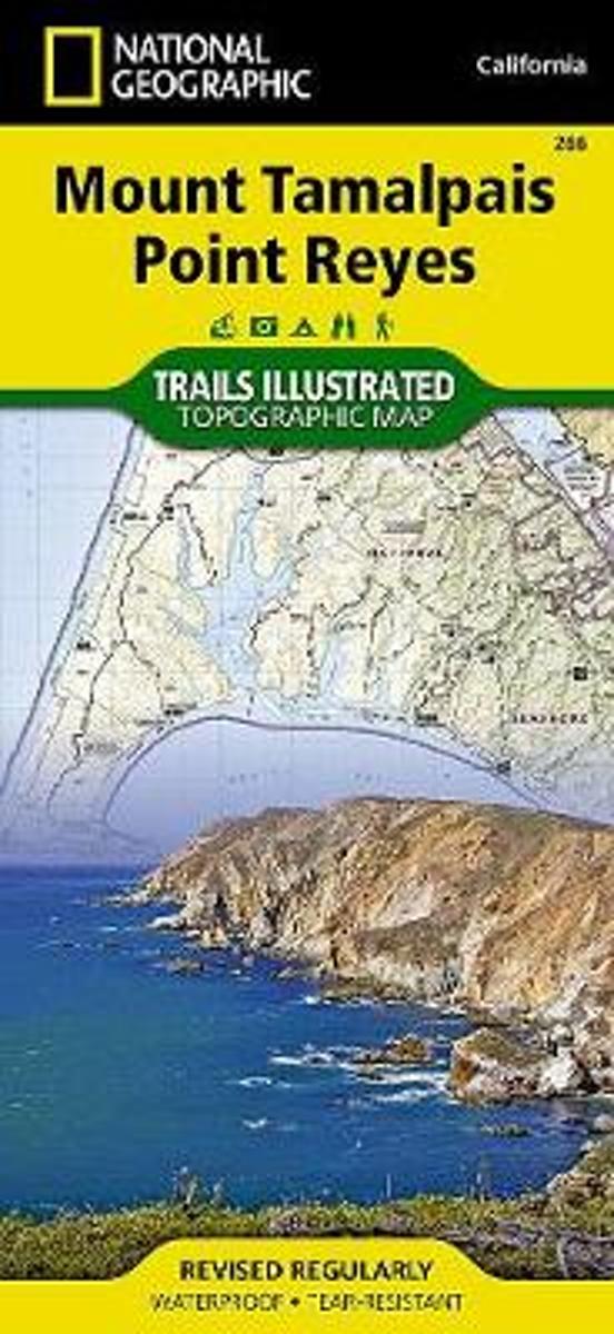
- Mount Tamalpais and Point Reyes CA
- Map No. 266, Mount Tamalpais and Point Reyes, CA, in an extensive series of GPS compatible, contoured hiking maps of USA’s national and state parks or forests and other popular recreational areas. Cartography based on the national topographic survey, with additional tourist information.The maps, with most titles now printed on light, waterproof... Lire la suite
- Also available from:
- The Book Depository, United Kingdom
- Bol.com, Netherlands
- Bol.com, Belgium

The Book Depository
United Kingdom
United Kingdom
- Mount Tamalpais/pt. Reyes
- Trails Illustrated Other Rec. Areas Lire la suite
Bol.com
Netherlands
Netherlands
- Mount Tamalpais/pt. Reyes
- Waterproof Tear-Resistant Topographic MapNational Geographic's Trails Illustrated map of Mount Tamalpais and Point Reyes is a two-sided, waterproof map designed to meet the needs of outdoor enthusiasts with unmatched durability and detail. This map was created in conjunction with local land management agencies and is loaded with valuable... Lire la suite
Bol.com
Belgium
Belgium
- Mount Tamalpais/pt. Reyes
- Waterproof Tear-Resistant Topographic MapNational Geographic's Trails Illustrated map of Mount Tamalpais and Point Reyes is a two-sided, waterproof map designed to meet the needs of outdoor enthusiasts with unmatched durability and detail. This map was created in conjunction with local land management agencies and is loaded with valuable... Lire la suite