
Wyoming
Description
Wyoming is a true mountain state, with the Rocky Mountains, glaciers, but also badlands and deserts. And of course the Yellowstone National Park. The main hiking area is the northwest.
Yellowstone is famous, but try to avoid the tourist traps. Better to choose the trails in the outer parts of the park. Another hit is the Grand Teton National Park, and the adjacent National Forest with the same name. The Bridger-Teton National Forest has large wilderness areas. And finally the glacier rich Shoshone National Forest. These parks count for more than 6000 miles of hiking trails.
Wyoming has its share of the famous Continental Divide Trail, and also of the Great Western Trail. The place to be!
Carte

Sentiers de cette état
Liens
Données
Rapports
Guides et cartes
Hébergement
Organisations
Voyagistes
GPS
Autre
Livres

Stanfords
United Kingdom
United Kingdom
- Cloud Peak Wilderness WY
- Map No. 720, Cloud Peak Wilderness in Wyoming, at 1:45,000 in an extensive series of GPS compatible, contoured hiking maps of USA’s national and state parks or forests and other popular recreational areas. Cartography based on the national topographic survey, with additional tourist information.The maps, with most titles now printed on light,... Lire la suite

The Book Depository
United Kingdom
United Kingdom
- Hiking the Black Hills Country
- A Guide To More Than 50 Hikes In South Dakota And Wyoming Lire la suite

The Book Depository
United Kingdom
United Kingdom
- Hiking Wyoming
- A Guide to the State's Greatest Hiking Adventures Lire la suite

The Book Depository
United Kingdom
2022
United Kingdom
2022
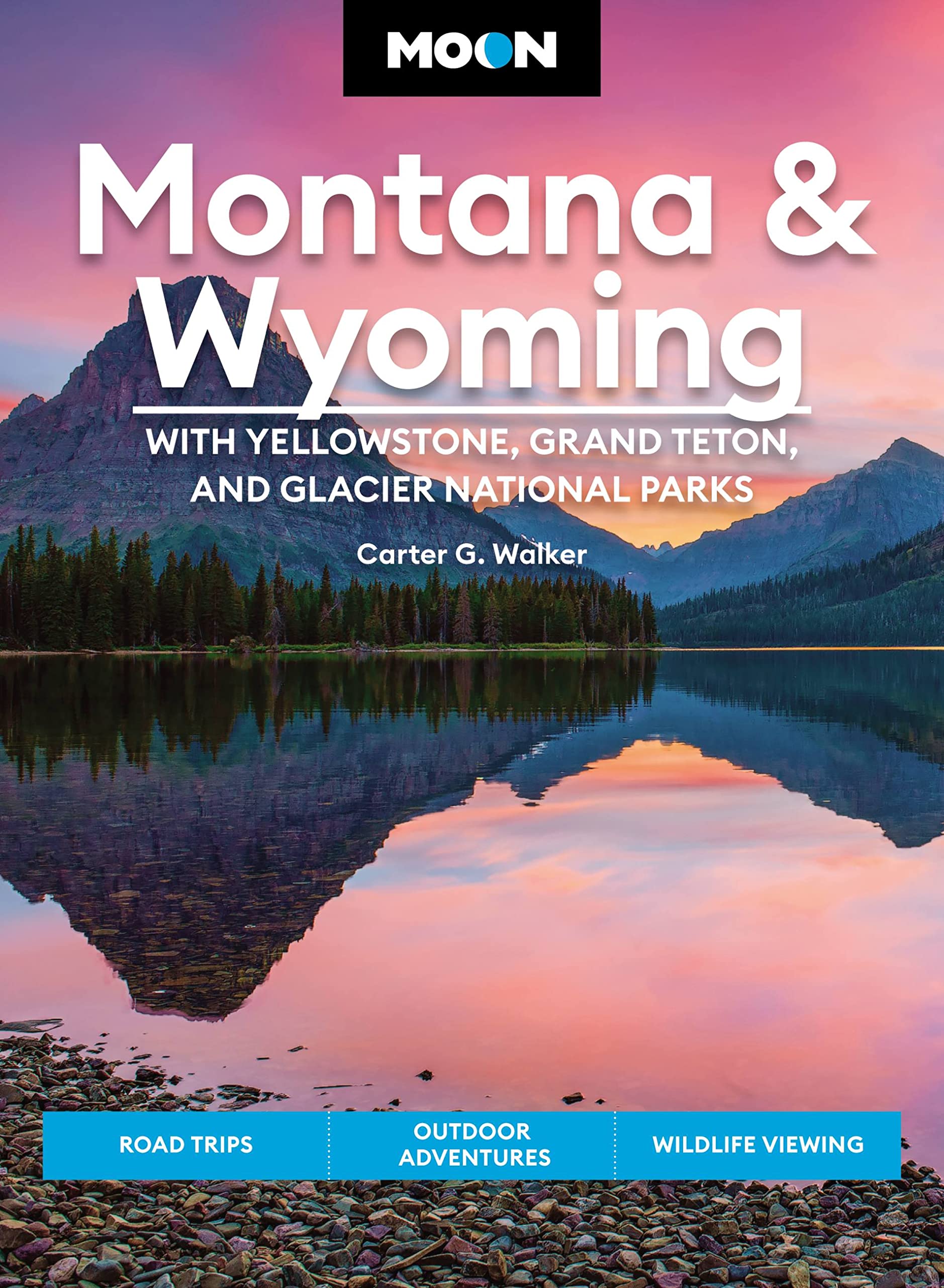
- Moon Montana & Wyoming: With Yellowstone, Grand Teton & Glacier National Parks (Fifth Edition)
- Road Trips, Outdoor Adventures, Wildlife Viewing Lire la suite
- Also available from:
- De Zwerver, Netherlands
De Zwerver
Netherlands
2022
Netherlands
2022
- Reisgids Montana - Wyoming | Moon Travel Guides
- Road Trips, Outdoor Adventures, Wildlife Viewing Lire la suite
Bol.com
Netherlands
Netherlands
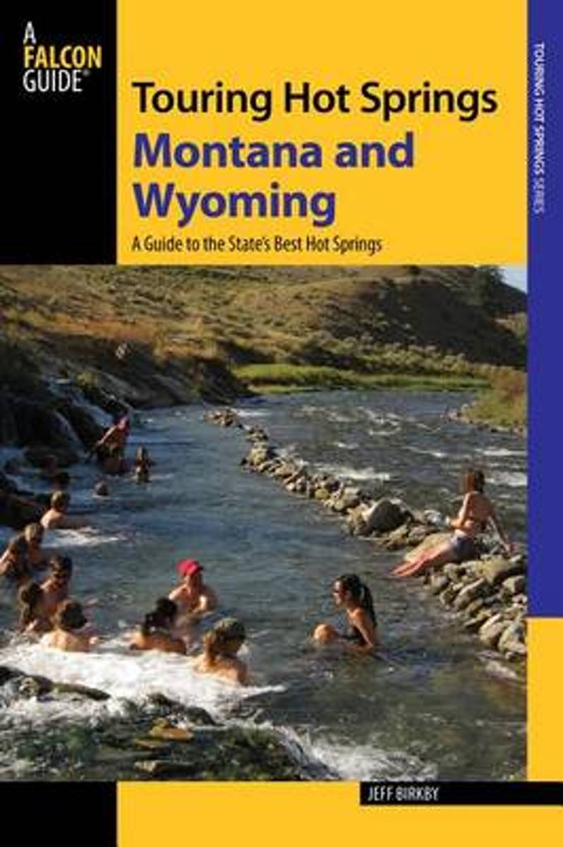
- Touring Hot Springs Montana and Wyoming
- Featuring everything from developed hot springs resorts to isolated mountain pools, this guide covers the publicly accessible hot springs in Montana and Wyoming. Clear directions are given to each hot spring along with historical notes, nearby attractions, accommodations, and soaking regulations in Yellowstone National Park. Lire la suite
- Also available from:
- Bol.com, Belgium
Bol.com
Belgium
Belgium
- Touring Hot Springs Montana and Wyoming
- Featuring everything from developed hot springs resorts to isolated mountain pools, this guide covers the publicly accessible hot springs in Montana and Wyoming. Clear directions are given to each hot spring along with historical notes, nearby attractions, accommodations, and soaking regulations in Yellowstone National Park. Lire la suite
Bol.com
Netherlands
Netherlands
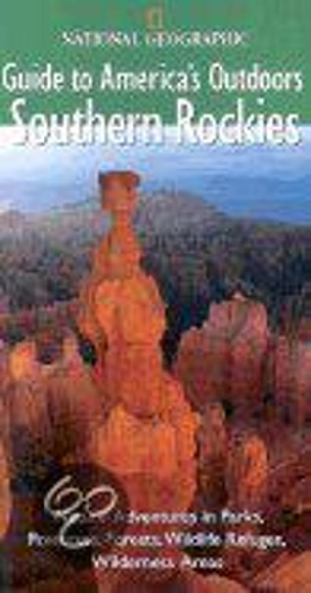
- National Geographics Guide to Americas Outdoors Southern Rockies
- National Geographic Guide to America's Outdoors Southern Rockies Colorado Utah With Northern Arizona, northern New Mexico, and southwestern Wyoming In this practical, informative, richly illustrated guide, National Geographic takes you to the best nature sites in the southern Rockies and tells you what you need to know -- about the landscape,... Lire la suite
- Also available from:
- Bol.com, Belgium
Bol.com
Belgium
Belgium
- National Geographics Guide to Americas Outdoors Southern Rockies
- National Geographic Guide to America's Outdoors Southern Rockies Colorado Utah With Northern Arizona, northern New Mexico, and southwestern Wyoming In this practical, informative, richly illustrated guide, National Geographic takes you to the best nature sites in the southern Rockies and tells you what you need to know -- about the landscape,... Lire la suite
Bol.com
Netherlands
Netherlands
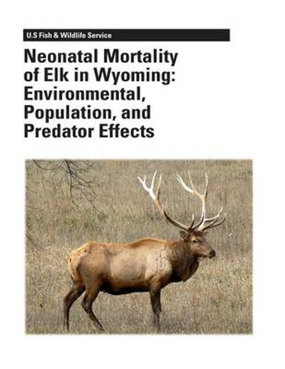
- Neonatal Mortality of Elk in Wyoming
- Public concerns over large losses of wild ungulates to predators arise when restoring large carnivore species to former locations or population densities. During the 1990s, mountain lion (Felis concolor) and grizzly bear (Ursus arctos) numbers increased in Jackson Hole, Wyoming, and gray wolves (Canis lupus) were reintroduced to the Greater... Lire la suite
- Also available from:
- Bol.com, Belgium
Bol.com
Belgium
Belgium
- Neonatal Mortality of Elk in Wyoming
- Public concerns over large losses of wild ungulates to predators arise when restoring large carnivore species to former locations or population densities. During the 1990s, mountain lion (Felis concolor) and grizzly bear (Ursus arctos) numbers increased in Jackson Hole, Wyoming, and gray wolves (Canis lupus) were reintroduced to the Greater... Lire la suite

The Book Depository
United Kingdom
United Kingdom
- Hiking the Continental Divide Trail
- One Woman's Journey Lire la suite
- Also available from:
- Bol.com, Netherlands
- Bol.com, Belgium

Bol.com
Netherlands
Netherlands
- Hiking the Continental Divide Trail
- An avid outsoorswoman, Jennifer Hanson with her husband set off to thru-hike the 2,400-mile Continental Divide Trail. Together they traversed the arid ranchlands of New Mexico, the snow-capped mountains of Colorado, the Red Desert of Wyoming, and Glacier National Park of Montana. Due to an injury, her husband left the trail and Jennifer... Lire la suite
Bol.com
Belgium
Belgium
- Hiking the Continental Divide Trail
- An avid outsoorswoman, Jennifer Hanson with her husband set off to thru-hike the 2,400-mile Continental Divide Trail. Together they traversed the arid ranchlands of New Mexico, the snow-capped mountains of Colorado, the Red Desert of Wyoming, and Glacier National Park of Montana. Due to an injury, her husband left the trail and Jennifer... Lire la suite
Bol.com
Netherlands
Netherlands
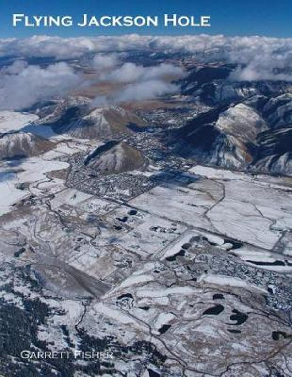
- Flying Jackson Hole
- The beauty of Jackson Hole is no mystery to millions of tourists and skiers that visit Grand Teton and Yellowstone National Parks or partake of world-class winter sports. To the author, most of the area is missed as it is hidden away from roads, behind mountains, deep in the backcountry, or otherwise overlooked for favor of the highlights of... Lire la suite
- Also available from:
- Bol.com, Belgium
Bol.com
Belgium
Belgium
- Flying Jackson Hole
- The beauty of Jackson Hole is no mystery to millions of tourists and skiers that visit Grand Teton and Yellowstone National Parks or partake of world-class winter sports. To the author, most of the area is missed as it is hidden away from roads, behind mountains, deep in the backcountry, or otherwise overlooked for favor of the highlights of... Lire la suite
Bol.com
Netherlands
Netherlands
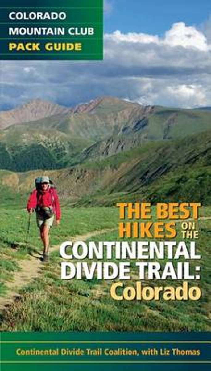
- The Best Hikes on the Continental Divide Trail
- Features 20 of the best hikes along the iconic Continental Divide Trail. Hike some of the more popular and accessible sections of the trail near Denver and Summit County, then venture out on an overnight trek across some of the most remote areas of the state. The Continental Divide Trail runs approximately 800 miles through Colorado, taking... Lire la suite
- Also available from:
- Bol.com, Belgium
Bol.com
Belgium
Belgium
- The Best Hikes on the Continental Divide Trail
- Features 20 of the best hikes along the iconic Continental Divide Trail. Hike some of the more popular and accessible sections of the trail near Denver and Summit County, then venture out on an overnight trek across some of the most remote areas of the state. The Continental Divide Trail runs approximately 800 miles through Colorado, taking... Lire la suite

Bol.com
Netherlands
Netherlands
- Alexander Gardner
- Best known for his Civil War photographs, Alexander Gardner (18211882) also created two extraordinary bodies of work depicting the transformation of the American West:Across the Continent on the Kansas Pacific Railway and Scenes in the Indian County. In 1867, after joining the survey team for what became the Kansas Pacific Railroad, Gardner... Lire la suite
- Also available from:
- Bol.com, Belgium
Bol.com
Belgium
Belgium
- Alexander Gardner
- Best known for his Civil War photographs, Alexander Gardner (18211882) also created two extraordinary bodies of work depicting the transformation of the American West:Across the Continent on the Kansas Pacific Railway and Scenes in the Indian County. In 1867, after joining the survey team for what became the Kansas Pacific Railroad, Gardner... Lire la suite

Stanfords
United Kingdom
United Kingdom
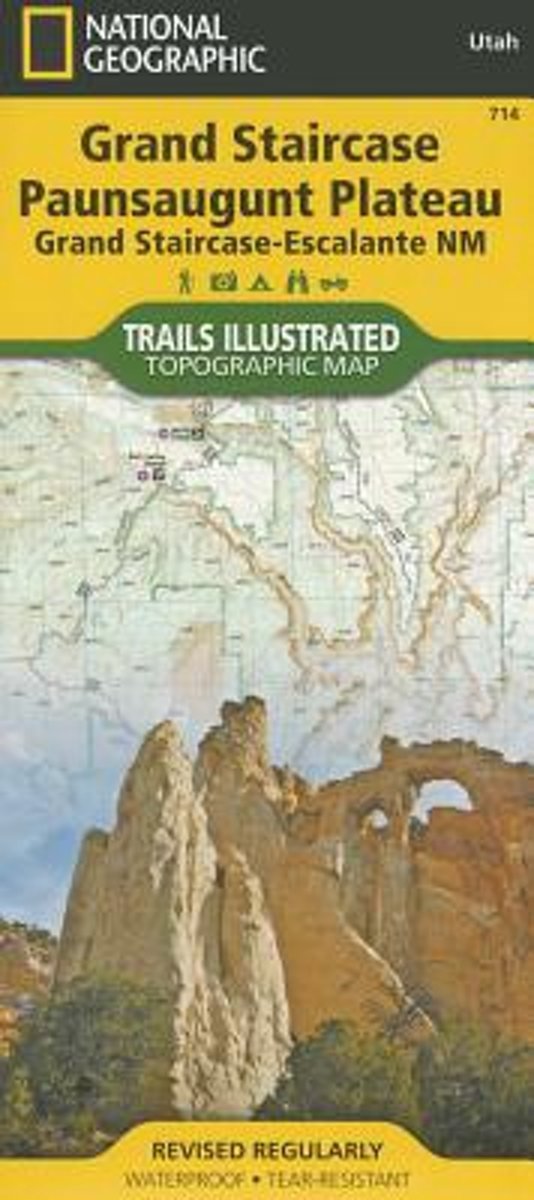
- Grand Staircase - Paunsaugunt Plateau - Grand Staircase-Escalante NM
- Map No. 714 covering at 1:75,000 the Grand Staircase, Paunsaugunt Plateau (Grand Staircase-Escalante National Monument) area of Utah. The title is part of an extensive series in the National Geographic’s Trails Illustrated imprint of GPS compatible, contoured hiking maps of USA’s national and state parks or forests and other popular... Lire la suite
- Also available from:
- Bol.com, Netherlands
- Bol.com, Belgium
Bol.com
Netherlands
Netherlands
- Willis Canyon
- Waterproof Tear-Resistant Topographic Map National Geographics Trails Illustrated map of Willis Canyon in Bryce Canyon National Park is designed to meet the needs of outdoor enthusiasts with unmatched durability and detail. Expertly researched and created in partnership with local land management agencies, this map features Kodachrome Basin... Lire la suite
Bol.com
Belgium
Belgium
- Willis Canyon
- Waterproof Tear-Resistant Topographic Map National Geographics Trails Illustrated map of Willis Canyon in Bryce Canyon National Park is designed to meet the needs of outdoor enthusiasts with unmatched durability and detail. Expertly researched and created in partnership with local land management agencies, this map features Kodachrome Basin... Lire la suite
Bol.com
Netherlands
Netherlands
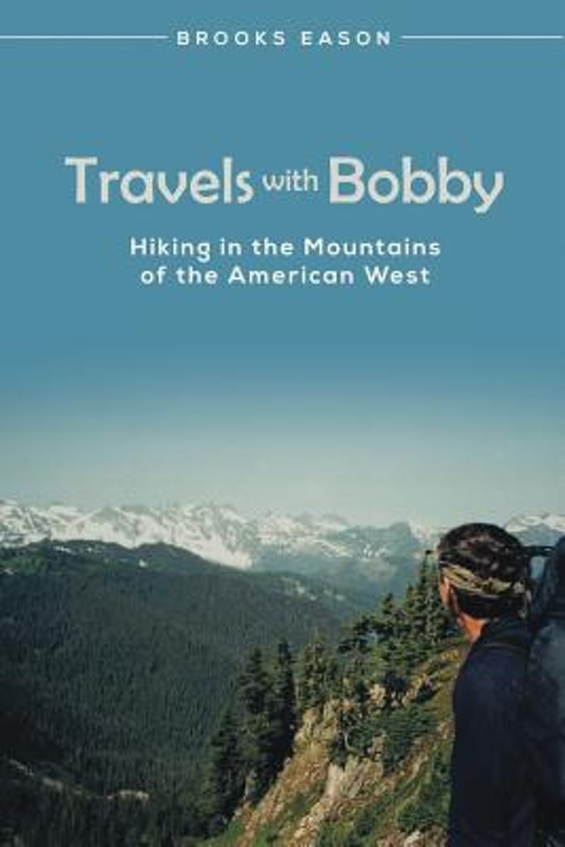
- Travels with Bobby
- Brooks Eason and his best friend, Bobby Ariatti, live in the flatlands but love the mountains. They have explored the outdoors together for two decades, taking annual hiking trips to the mountains of the American West. This is the story of their first six trips. Their travels begin in Yosemite National Park in California. In the years that... Lire la suite
- Also available from:
- Bol.com, Belgium
Bol.com
Belgium
Belgium
- Travels with Bobby
- Brooks Eason and his best friend, Bobby Ariatti, live in the flatlands but love the mountains. They have explored the outdoors together for two decades, taking annual hiking trips to the mountains of the American West. This is the story of their first six trips. Their travels begin in Yosemite National Park in California. In the years that... Lire la suite
Bol.com
Netherlands
Netherlands
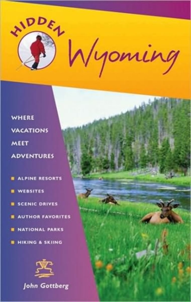
- Wyoming
- Combining unique travel choices, outdoor adventures, and little-known locales into guides where vacations meet adventures, each title in theHidden series also offers readers the comfort of detailed maps, Internet information for each listing, author picks, suggested itineraries, and walking and driving tours.Hidden Wyoming reviews everything... Lire la suite
- Also available from:
- Bol.com, Belgium
Bol.com
Belgium
Belgium
- Wyoming
- Combining unique travel choices, outdoor adventures, and little-known locales into guides where vacations meet adventures, each title in theHidden series also offers readers the comfort of detailed maps, Internet information for each listing, author picks, suggested itineraries, and walking and driving tours.Hidden Wyoming reviews everything... Lire la suite
Bol.com
Netherlands
Netherlands
- Ethnographic Assessment and Documentation of Rocky Mountain National Park
- This report contains the results of an Ethnographic Overview and Assessment project which sought to identify and document the history of American Indians in the region in and around Rocky Mountain National Park (RMNP). It was completed under contract number ROMO-R96-0617 out of the National Park Service Intermountain Support Office, Denver, CO,... Lire la suite
- Also available from:
- Bol.com, Belgium
Bol.com
Belgium
Belgium
- Ethnographic Assessment and Documentation of Rocky Mountain National Park
- This report contains the results of an Ethnographic Overview and Assessment project which sought to identify and document the history of American Indians in the region in and around Rocky Mountain National Park (RMNP). It was completed under contract number ROMO-R96-0617 out of the National Park Service Intermountain Support Office, Denver, CO,... Lire la suite
Cartes

Stanfords
United Kingdom
United Kingdom
- Greater Yellowstone & Grand Teton Benchnark Maps Recreation Atlas & Guide
- Greater Yellowstone and Grand Teton Recreation Atlas & Guide from Benchmark Maps in an A4 paperback format, with coverage of the two parks on detailed, GPS compatible “Recreational” section at 1:100,000, regional map coverage of a wider area, plus a 10-page recreational guide with list of various facilities, etc.The more detailed “Landscape”... Lire la suite

Stanfords
United Kingdom
United Kingdom
- Old Faithful - Yellowstone National Park SW WY/MT
- Map No. 302, Yellowstone SW: Old Faithful, WY/MT, in an extensive series of GPS compatible, contoured hiking maps of USA’s national and state parks or forests and other popular recreational areas. Cartography based on the national topographic survey, with additional tourist information.The maps, with most titles now printed on light, waterproof... Lire la suite
- Also available from:
- The Book Depository, United Kingdom
- De Zwerver, Netherlands

The Book Depository
United Kingdom
United Kingdom
- Yellowstone Sw/old Faithful
- Trails Illustrated National Parks Lire la suite

De Zwerver
Netherlands
Netherlands
- Wandelkaart - Topografische kaart 302 Old Faithful, Yellowstone National Park SW | National Geographic
- Prachtige geplastificeerde kaart van het bekende nationaal park. Met alle recreatieve voorzieningen als campsites, maar ook met topografische details en wandelroutes ed. Door uitgekiend kleurgebruik zeer prettig in gebruik. Scheur en watervast! Beautiful waterproof and tear-resistant topographical hiking map of a well-loved National Park, with... Lire la suite

Stanfords
United Kingdom
United Kingdom
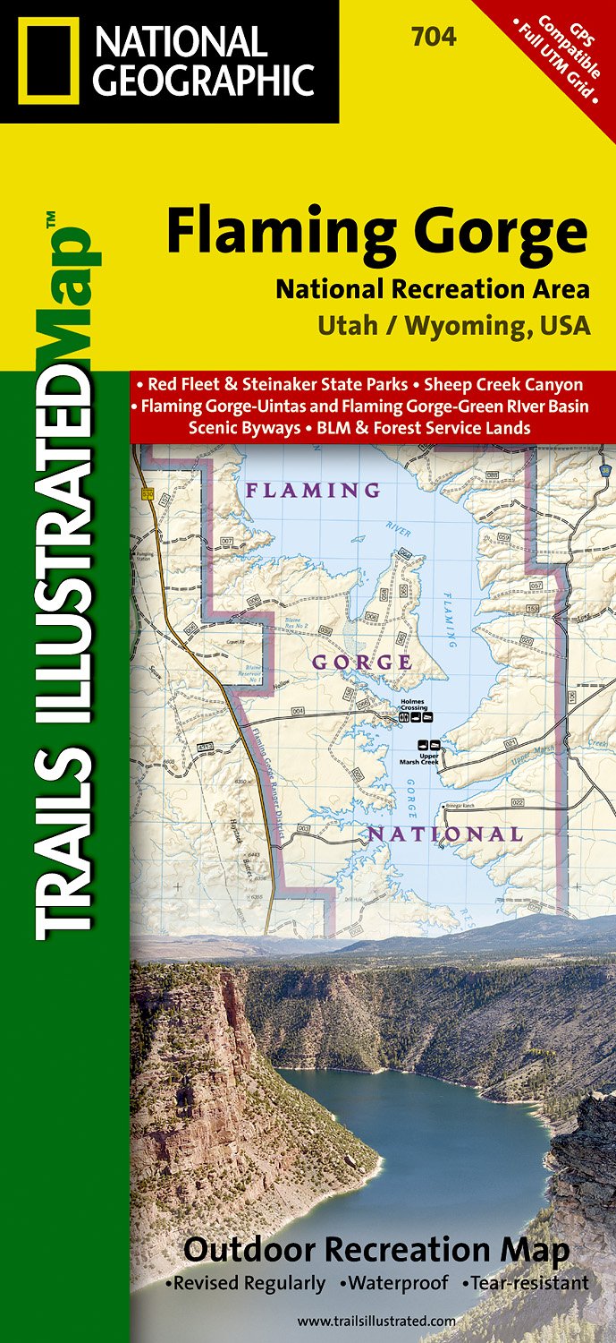
- Flaming Gorge - East Uintas UT/WY
- Map No. 704, Flaming Gorge - East Uintas, UT/WY, in an extensive series of GPS compatible, contoured hiking maps of USA’s national and state parks or forests and other popular recreational areas. Cartography based on the national topographic survey, with additional tourist information.The maps, with most titles now printed on light, waterproof... Lire la suite
- Also available from:
- The Book Depository, United Kingdom
- De Zwerver, Netherlands

The Book Depository
United Kingdom
United Kingdom
- Flaming Gorge/east Uintas
- Trails Illustrated Other Rec. Areas Lire la suite
De Zwerver
Netherlands
Netherlands
- Wandelkaart - Topografische kaart 704 Flaming Gorge National Recreation Area | National Geographic
- Prachtige geplastificeerde kaart van het bekende nationaal park. Met alle recreatieve voorzieningen als campsites, maar ook met topografische details en wandelroutes ed. Door uitgekiend kleurgebruik zeer prettig in gebruik. Scheur en watervast! Coverage includes Ashley National Forest; Flaming Gorge National Recreation Area; Eastern Uinta... Lire la suite

Stanfords
United Kingdom
United Kingdom
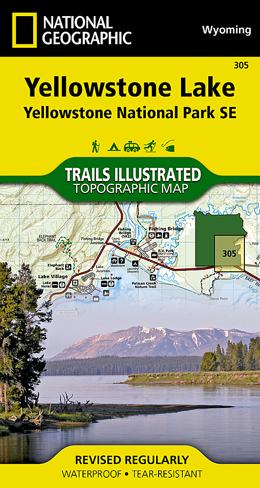
- Yellowstone Lake - Yellowstone National Park WY
- Map No. 305, Yellowstone SE: Yellowstone Lake in Wyoming, at 1:63.360 in an extensive series of GPS compatible, contoured hiking maps of USA’s national and state parks or forests and other popular recreational areas. Cartography based on the national topographic survey, with additional tourist information.The maps, with most titles now printed... Lire la suite
- Also available from:
- The Book Depository, United Kingdom
- De Zwerver, Netherlands

The Book Depository
United Kingdom
United Kingdom
- Yellowstone Se/yellowstone Lake
- Trails Illustrated National Parks Lire la suite
De Zwerver
Netherlands
Netherlands
- Wandelkaart 305 Yellowstone Lake | National Geographic
- Prachtige geplastificeerde kaart van het nationaal park. Met alle recreatieve voorzieningen als campsites, maar ook met topografische details en wandelroutes ed. Door uitgekiend kleurgebruik zeer prettig in gebruik. Scheur en watervast! Coverage of the Yellowstone Lake area of Yellowstone National Park includes Pelican Valley BMA, Clear Creek... Lire la suite

Stanfords
United Kingdom
United Kingdom
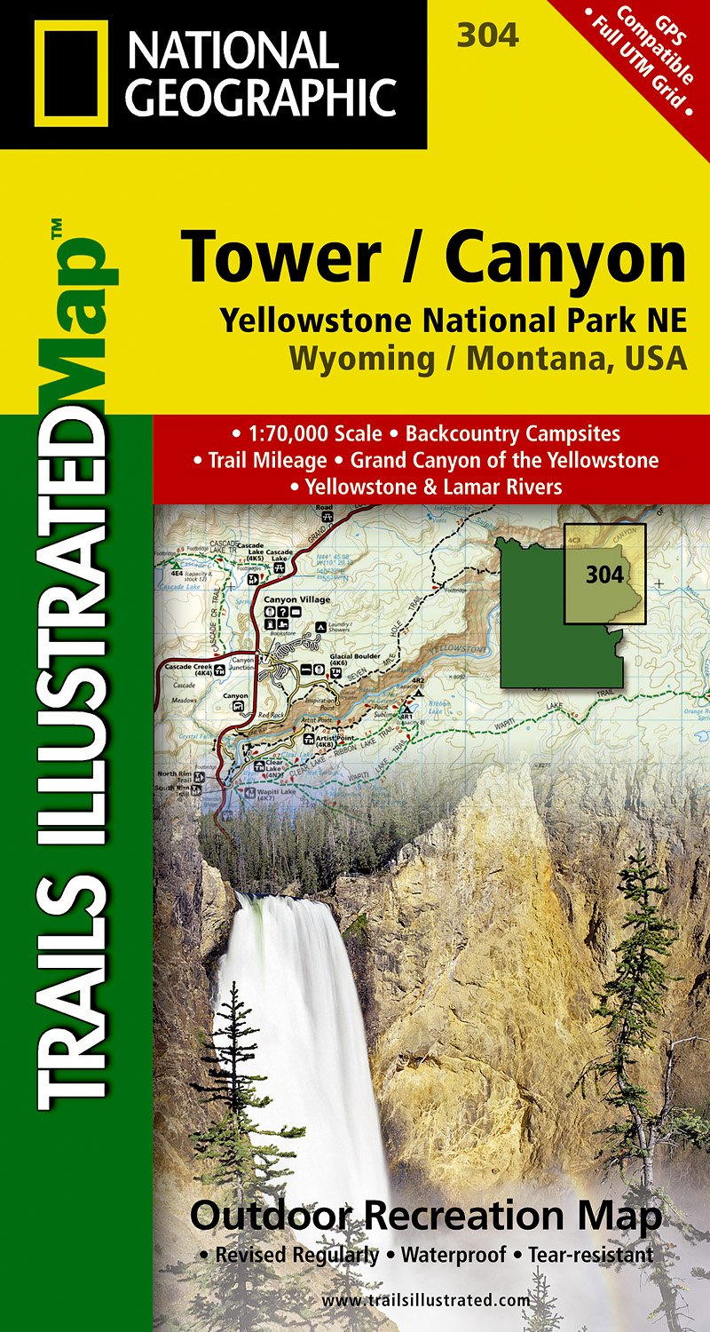
- Tower - Canyon - Yellowstone National Park WY/MT
- Map No. 304, Yellowstone NE: Tower/Canyon, WY/MT, in an extensive series of GPS compatible, contoured hiking maps of USA’s national and state parks or forests and other popular recreational areas. Cartography based on the national topographic survey, with additional tourist information.The maps, with most titles now printed on light, waterproof... Lire la suite
- Also available from:
- The Book Depository, United Kingdom
- De Zwerver, Netherlands

The Book Depository
United Kingdom
United Kingdom
- Yellowstone Ne/tower/canyon
- Trails Illustrated National Parks Lire la suite
De Zwerver
Netherlands
Netherlands
- Wandelkaart - Topografische kaart 304 Tower - Canyon - Yellowstone National Park NE | National Geographic
- Prachtige geplastificeerde kaart van het nationaal park. Met alle recreatieve voorzieningen als campsites, maar ook met topografische details en wandelroutes ed. Door uitgekiend kleurgebruik zeer prettig in gebruik. Scheur en watervast! Coverage of the Tower / Canyon area of Yellowstone National Park includes Canyon Village, Tower -... Lire la suite
De Zwerver
Netherlands
Netherlands

Stanfords
United Kingdom
United Kingdom
- Yellowstone National Park WY/MT NGS Trails Illustrated Map 201
- Map No. 201, Yellowstone National Park, WY/MT, in an extensive series of GPS compatible, contoured hiking maps of USA’s national and state parks or forests and other popular recreational areas. Cartography based on the national topographic survey, with additional tourist information.The maps, with most titles now printed on light, waterproof... Lire la suite
- Also available from:
- The Book Depository, United Kingdom
- Bol.com, Netherlands
- Bol.com, Belgium
- De Zwerver, Netherlands

The Book Depository
United Kingdom
United Kingdom
- Yellowstone National Park
- Trails Illustrated National Parks Lire la suite

Bol.com
Netherlands
Netherlands
- Yellowstone National Park
- Waterproof Tear-Resistant Topographic MapNational Geographic's Trails Illustrated map of Yellowstone National Park is designed to meet the needs of outdoor enthusiasts by combining valuable information with unmatched detail of America's first national park. Expertly researched and created in partnership with local land management... Lire la suite
Bol.com
Belgium
Belgium
- Yellowstone National Park
- Waterproof Tear-Resistant Topographic MapNational Geographic's Trails Illustrated map of Yellowstone National Park is designed to meet the needs of outdoor enthusiasts by combining valuable information with unmatched detail of America's first national park. Expertly researched and created in partnership with local land management... Lire la suite

De Zwerver
Netherlands
Netherlands
- Wandelkaart - Topografische kaart 201 Trails Illustrated Yellowstone National Park | National Geographic
- Prachtige geplastificeerde kaart van het bekende nationaal park. Met alle recreatieve voorzieningen als campsites, maar ook met topografische details en wandelroutes ed. Door uitgekiend kleurgebruik zeer prettig in gebruik. Scheur en watervast! Detailed and accurate coverage for Yellowstone National Park. Includes a detailed road network and... Lire la suite

Stanfords
United Kingdom
United Kingdom
- Many Glacier - Glacier and Waterton Lakes National Parks MT
- Map No. 313, Glacier National Park: North Fork, MT, in an extensive series of GPS compatible, contoured hiking maps of USA’s national and state parks or forests and other popular recreational areas. Cartography based on the national topographic survey, with additional tourist information.The maps, with most titles now printed on light,... Lire la suite
- Also available from:
- Bol.com, Netherlands
- Bol.com, Belgium
- De Zwerver, Netherlands

Bol.com
Netherlands
Netherlands
- Many Glacier, Glacier National Park
- Waterproof Tear-Resistant Topographic MapLocated just north of Kalispell in Montana's northwest corner, Glacier National contains an abundance of recreational opportunities for outdoor enthusiasts of all interests.This detailed topographic recreation map contains carefully researched trails, campsites, forest service roads, and... Lire la suite
Bol.com
Belgium
Belgium
- Many Glacier, Glacier National Park
- Waterproof Tear-Resistant Topographic MapLocated just north of Kalispell in Montana's northwest corner, Glacier National contains an abundance of recreational opportunities for outdoor enthusiasts of all interests.This detailed topographic recreation map contains carefully researched trails, campsites, forest service roads, and... Lire la suite

De Zwerver
Netherlands
Netherlands
- Wandelkaart - Topografische kaart 314 Many Glacier - Glacier and Waterton Lakes National Parks | National Geographic
- Prachtige geplastificeerde kaart van het bekende nationaal park. Met alle recreatieve voorzieningen als campsites, maar ook met topografische details en wandelroutes ed. Door uitgekiend kleurgebruik zeer prettig in gebruik. Scheur en watervast! Located just north of Kalispell in Montana's northwest corner, Glacier National contains an... Lire la suite

Stanfords
United Kingdom
United Kingdom
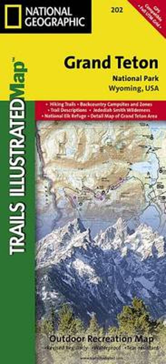
- Grand Teton National Park WY NGS Trails Illustrated Map 202
- Map No. 202, Grand Teton National Park, WY, in an extensive series of GPS compatible, contoured hiking maps of USA’s national and state parks or forests and other popular recreational areas. Cartography based on the national topographic survey, with additional tourist information.The maps, with most titles now printed on light, waterproof and... Lire la suite
- Also available from:
- The Book Depository, United Kingdom
- Bol.com, Netherlands
- Bol.com, Belgium
- De Zwerver, Netherlands

The Book Depository
United Kingdom
United Kingdom
- Grand Teton National Park
- Trails Illustrated National Parks Lire la suite
Bol.com
Netherlands
Netherlands
- Grand Teton National Park
- Waterproof Tear-Resistant Topographic MapExpertly researched and created in partnership with local land management agencies, National Geographic's Trails Illustrated map of Grand Teton National Park provides an unparalleled tool for exploring this magnificent region. This map offers unmatched detail of the entire park and features key... Lire la suite
Bol.com
Belgium
Belgium
- Grand Teton National Park
- Waterproof Tear-Resistant Topographic MapExpertly researched and created in partnership with local land management agencies, National Geographic's Trails Illustrated map of Grand Teton National Park provides an unparalleled tool for exploring this magnificent region. This map offers unmatched detail of the entire park and features key... Lire la suite

De Zwerver
Netherlands
Netherlands
- Wandelkaart 202 Grand Teton National Park | National Geographic
- Prachtige geplastificeerde kaart van het bekende nationaal park. Met alle recreatieve voorzieningen als campsites, maar ook met topografische details en wandelroutes ed. Door uitgekiend kleurgebruik zeer prettig in gebruik. Scheur en watervast! De meeste kaarten hebben een UTM grid en zijn dan ook GPS toepasbaar. Coverage includes town of Lead,... Lire la suite

Stanfords
United Kingdom
United Kingdom
- Telluride - Silverton - Ouray - Lake City CO
- Map No. 141, Telluride - Silverton - Ouray - Lake City, CO, in an extensive series of GPS compatible, contoured hiking maps of USA’s national and state parks or forests and other popular recreational areas. Cartography based on the national topographic survey, with additional tourist information.The maps, with most titles now printed on light,... Lire la suite
- Also available from:
- The Book Depository, United Kingdom
- Bol.com, Netherlands
- Bol.com, Belgium
- De Zwerver, Netherlands

The Book Depository
United Kingdom
United Kingdom
- Telluride/silverton/ouray/lake City
- Trails Illustrated Lire la suite

Bol.com
Netherlands
Netherlands
- Telluride/silverton/ouray/lake City
- Waterproof Tear-Resistant Topographic MapExpertly researched and created in partnership with local land management agencies, National Geographic's Trails Illustrated map of Telluride, Silverton, Ouray, and Lake City provides an unparalleled tool for exploring this breathtaking region of Colorado. Whatever the season, you'll find this map... Lire la suite
Bol.com
Belgium
Belgium
- Telluride/silverton/ouray/lake City
- Waterproof Tear-Resistant Topographic MapExpertly researched and created in partnership with local land management agencies, National Geographic's Trails Illustrated map of Telluride, Silverton, Ouray, and Lake City provides an unparalleled tool for exploring this breathtaking region of Colorado. Whatever the season, you'll find this map... Lire la suite

De Zwerver
Netherlands
Netherlands
- Wandelkaart - Topografische kaart 141 Telluride, Silverton, Ouray, Lake City | National Geographic
- Prachtige geplastificeerde kaart van het bekende nationaal park. Met alle recreatieve voorzieningen als campsites, maar ook met topografische details en wandelroutes ed. Door uitgekiend kleurgebruik zeer prettig in gebruik. Scheur en watervast! Beautiful waterproof and tear-resistant topographical hiking map of a well-loved National Park, with... Lire la suite

Bol.com
Netherlands
Netherlands
- Grand Canyon East
- Waterproof Tear-Resistant Topographic MapGrand Canyon East (#262) and Grand Canyon West (#263) combine to cover the entire Grand Canyon National Park and its bordering public lands. Both maps contain detailed and easy-to-read trail and road networks, locations of facilities, points of interest, and highly accurate terrain with thousands... Lire la suite
- Also available from:
- Bol.com, Belgium
- De Zwerver, Netherlands
Bol.com
Belgium
Belgium
- Grand Canyon East
- Waterproof Tear-Resistant Topographic MapGrand Canyon East (#262) and Grand Canyon West (#263) combine to cover the entire Grand Canyon National Park and its bordering public lands. Both maps contain detailed and easy-to-read trail and road networks, locations of facilities, points of interest, and highly accurate terrain with thousands... Lire la suite

De Zwerver
Netherlands
Netherlands
- Wandelkaart 262 Grand Canyon East - Oost | National Geographic
- Prachtige geplastificeerde kaart van het nationaal park. Met alle recreatieve voorzieningen als campsites, maar ook met topografische details en wandelroutes ed. Door uitgekiend kleurgebruik zeer prettig in gebruik. Scheur en watervast! Grand Canyon East (#262) and Grand Canyon West (#263) combine to cover the entire Grand Canyon National Park... Lire la suite

Stanfords
United Kingdom
United Kingdom
- Bryce Canyon National Park UT NGS Trails Illustrated Map 219
- Map No. 219, Bryce Canyon National Park, UT, in an extensive series of GPS compatible, contoured hiking maps of USA’s national and state parks or forests and other popular recreational areas. Cartography based on the national topographic survey, with additional tourist information.The maps, with most titles now printed on light, waterproof and... Lire la suite
- Also available from:
- The Book Depository, United Kingdom
- Bol.com, Netherlands
- Bol.com, Belgium
- De Zwerver, Netherlands

The Book Depository
United Kingdom
United Kingdom
- Bryce Canyon National Park
- Trails Illustrated National Parks Lire la suite

Bol.com
Netherlands
Netherlands
- Bryce Canyon National Park
- Waterproof Tear-Resistant Topographic MapNational Geographic's Trails Illustrated map of Bryce Canyon National Park is designed to meet the needs of outdoor enthusiasts by combining valuable information with unmatched detail of this unique landscape of hoodoos and forest. Created in partnership with local land management agencies, this... Lire la suite
Bol.com
Belgium
Belgium
- Bryce Canyon National Park
- Waterproof Tear-Resistant Topographic MapNational Geographic's Trails Illustrated map of Bryce Canyon National Park is designed to meet the needs of outdoor enthusiasts by combining valuable information with unmatched detail of this unique landscape of hoodoos and forest. Created in partnership with local land management agencies, this... Lire la suite

De Zwerver
Netherlands
Netherlands
- Wandelkaart - Topografische kaart 219 Bryce Canyon National Park | National Geographic
- Prachtige geplastificeerde kaart van het bekende nationaal park. Met alle recreatieve voorzieningen als campsites, maar ook met topografische details en wandelroutes ed. Door uitgekiend kleurgebruik zeer prettig in gebruik. Scheur en watervast! This informative Trails Illustrated map will help you plan trips and explore the area in and around... Lire la suite

Stanfords
United Kingdom
United Kingdom
- Glacier - Waterton Lakes National Park MT
- Map No. 215, Glacier/Waterton Lakes National Park, MT, in an extensive series of GPS compatible, contoured hiking maps of USA’s national and state parks or forests and other popular recreational areas. Cartography based on the national topographic survey, with additional tourist information.The maps, with most titles now printed on light,... Lire la suite
- Also available from:
- Bol.com, Netherlands
- Bol.com, Belgium
- De Zwerver, Netherlands

Bol.com
Netherlands
Netherlands
- Glacier/waterton Lakes National Parks
- Waterproof Tear-Resistant Topographic MapNational Geographic's Trails Illustrated map of Glacier and Waterton Lakes National Parks offers unparalleled detail for outdoor enthusiasts exploring the pristine landscape of forests, mountains, lakes, and meadows within these two spectacular parks. Created in partnership with local land... Lire la suite
Bol.com
Belgium
Belgium
- Glacier/waterton Lakes National Parks
- Waterproof Tear-Resistant Topographic MapNational Geographic's Trails Illustrated map of Glacier and Waterton Lakes National Parks offers unparalleled detail for outdoor enthusiasts exploring the pristine landscape of forests, mountains, lakes, and meadows within these two spectacular parks. Created in partnership with local land... Lire la suite

De Zwerver
Netherlands
Netherlands
- Wandelkaart - Topografische kaart 215 Glacier - Waterton Lakes National Park | National Geographic
- Prachtige geplastificeerde kaart van het bekende nationaal park. Met alle recreatieve voorzieningen als campsites, maar ook met topografische details en wandelroutes ed. Door uitgekiend kleurgebruik zeer prettig in gebruik. Scheur en watervast! Waterton Lakes National Park, Canada includes Waterton Park, Upper and Middle Waterton Lakes, The... Lire la suite

Stanfords
United Kingdom
United Kingdom
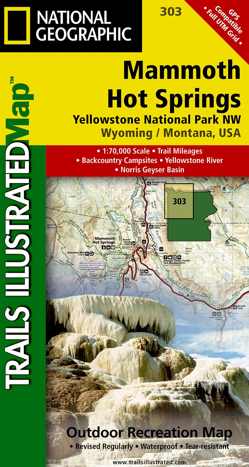
- Mammoth Hot Springs - Yellowstone National Park NW WY/MT
- Map No. 303, Yellowstone NW: Mammoth Hot Springs, WY/MT, in an extensive series of GPS compatible, contoured hiking maps of USA’s national and state parks or forests and other popular recreational areas. Cartography based on the national topographic survey, with additional tourist information.The maps, with most titles now printed on light,... Lire la suite
- Also available from:
- De Zwerver, Netherlands
De Zwerver
Netherlands
Netherlands
- Wandelkaart - Topografische kaart 303 Mammoth Hot Springs Yellowstone National Park | National Geographic
- Prachtige geplastificeerde kaart van het nationaal park. Met alle recreatieve voorzieningen als campsites, maar ook met topografische details en wandelroutes ed. Door uitgekiend kleurgebruik zeer prettig in gebruik. Scheur en watervast! Coverage of the Old Faithful area of Yellowstone National Park includes Heart Lake BMA, Pitchstone Plateau,... Lire la suite

De Zwerver
Netherlands
Netherlands
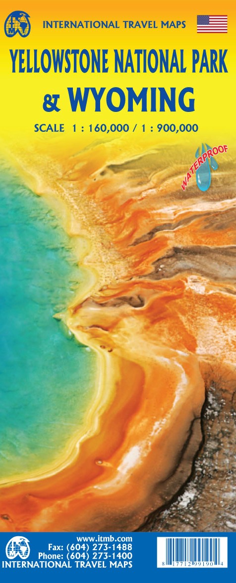
- Wegenkaart - landkaart Idaho, Montana & Wyoming | ITMB
- Idaho,Montana & Wyoming Travel Reference Map 1 : 1 000 000 ab 10.49 EURO International Travel Map ITM. 1st Edition Lire la suite