
Victoria
Description
Victoria in the south east of Australia has an attractive coastline as well as mountain ranges in the eastern end. Victoria hosts the popular Victorian Alps and Mount Bogong. The Australian Alps Walking Track offer a tough opportunity to explore all the ranges, into New South Wales.
Along the coastline several trails will keep you busy, including the Great South West Walk, the Great Ocean Walk, the Wilsons Promontory Circuits and the Croajingalong Wilderness Coast Walk.
The large city of Melbourne - 70% of Victoria's population - is the start of the 270 km long Great Dividing Trail.
Carte

Sentiers de cette état
- Australian Alps Walking TrackGPX
- Bicentennial National TrailGPX
- Bogong High Plains Circuit
- Croajingolong Wilderness Coast Walk
- East Gippsland Rail Trail
- Grampians Wild Walk
- Great Dividing TrailGPX
- Great Ocean WalkGPX
- Great South West WalkGPX
- McMillans Track
- Wilsons Promontory Northern Circuit
- Wilsons Promontory Southern CircuitGPX
Liens
Données
Rapports
Guides et cartes
Hébergement
Organisations
Voyagistes
GPS
Autre
Livres

Stanfords
United Kingdom
United Kingdom
- Vancouver Insight City Guide SUPERCEDED
- This brand new edition provides a comprehensive and highly visual introduction to the lively city of Vancouver, bringing its history, places and local people to life at the turn of a page. The `Places` section provides a detailed, district-by-district exploration of all the places to visit, from Midtown and West End to North and West Vancouver.... Lire la suite

Stanfords
United Kingdom
2019
United Kingdom
2019
- Insight Guides Explore Vancouver & Victoria (Travel Guide with Free eBook)
- Focused travel guide featuring the very best routes and itineraries, now with free eBook.Discover the best of Vancouver and Victoria with this unique travel guide, packed full of insider information and stunning images. From making sure you don`t miss out on must-see, top attractions like Stanley Park, Capilano Suspension Bridge and Granville... Lire la suite

Stanfords
United Kingdom
United Kingdom
- Insight Guides Explore Hong Kong (Travel Guide with Free eBook)
- INSIGHT GUIDES EXPLORE HONG KONGLet us guide you on every step of your travels...Focused travel guides featuring the very best routes and itineraries, now with free eBook.Discover the best of Hong Kong with this unique travel guide, packed full of insider information and stunning images. From making sure you don`t miss out on must-see, top... Lire la suite

Stanfords
United Kingdom
United Kingdom
- Hampshire & the New Forest - Kiddiwalks
- A series of twenty short, circular walks especially designed for children. Includes routes at Danebury Hill Fort, Queen Victoria Country Park, Fort Nelson and Basingstoke Common. In colour. Lire la suite

Stanfords
United Kingdom
United Kingdom
- On a Pedestal: A Trip around Britain`s Statues
- This is a book for people who are interested in statues... and for people who aren`t. It explores those immortalised in marble and bronze - and what the rest of us think about them. As Roger Lytollis travels Britain he encounters a man at Liverpool`s Beatles statue convinced that Rod Stewart was in the Fab Four. In Edinburgh he walks into a row... Lire la suite

Stanfords
United Kingdom
2013
United Kingdom
2013
- Malta, Gozo and Comino Sunflower Landscape Guide
- Malta, Gozo and Comino is the Sunflower Landscapes guide to exploring the best walking and touring possibilities on each island. The guide covers a range of routes including walks on each of the islands. A double-sided, fold-out touring map of Malta gives an overview of the island, basic street outlines of Victoria and Comino and the locations... Lire la suite

Stanfords
United Kingdom
United Kingdom
- 150 Walks in Victoria
- “150 Walks in Victoria” contains 150 walks of varying degrees of difficulty and type, meaning it has at least one walk for every type of hiker.The start of the guide includes detailed sections on what to expect wherever you’re walking, with tips on hiking, the climate in Victoria, the flora and fauna, as well as the landscape itself. As well as... Lire la suite

Stanfords
United Kingdom
United Kingdom
- Bombay Then & Mumbai Now
- Bombay is a city always on the move. Driven by multiple impulses, it has been the site for a Buddhist ethos, a safe haven for refugees from Persia, a hub of maritime trade and a melting pot of European and Eastern influences. Enriched with in-depth historical research and exclusive photographs, `Bombay: Then` documents the transformation of the... Lire la suite

Stanfords
United Kingdom
United Kingdom
- Walks with History: Walks through the fascinating historic landscapes of the Yorkshire Dales
- This attractive and cleverly structured guide gives walkers the ten best walks through the fascinating historic landscapes of the Yorkshire Dales National Park in a popular pocketable format.With clear information, an overview and introduction for each walk, expertly written numbered directions, large scale Ordnance Survey maps, superb... Lire la suite
- Also available from:
- The Book Depository, United Kingdom

The Book Depository
United Kingdom
United Kingdom
- Walks with History
- Walks through the fascinating historic landscapes of the Yorkshire Dales Lire la suite

Stanfords
United Kingdom
2021
United Kingdom
2021
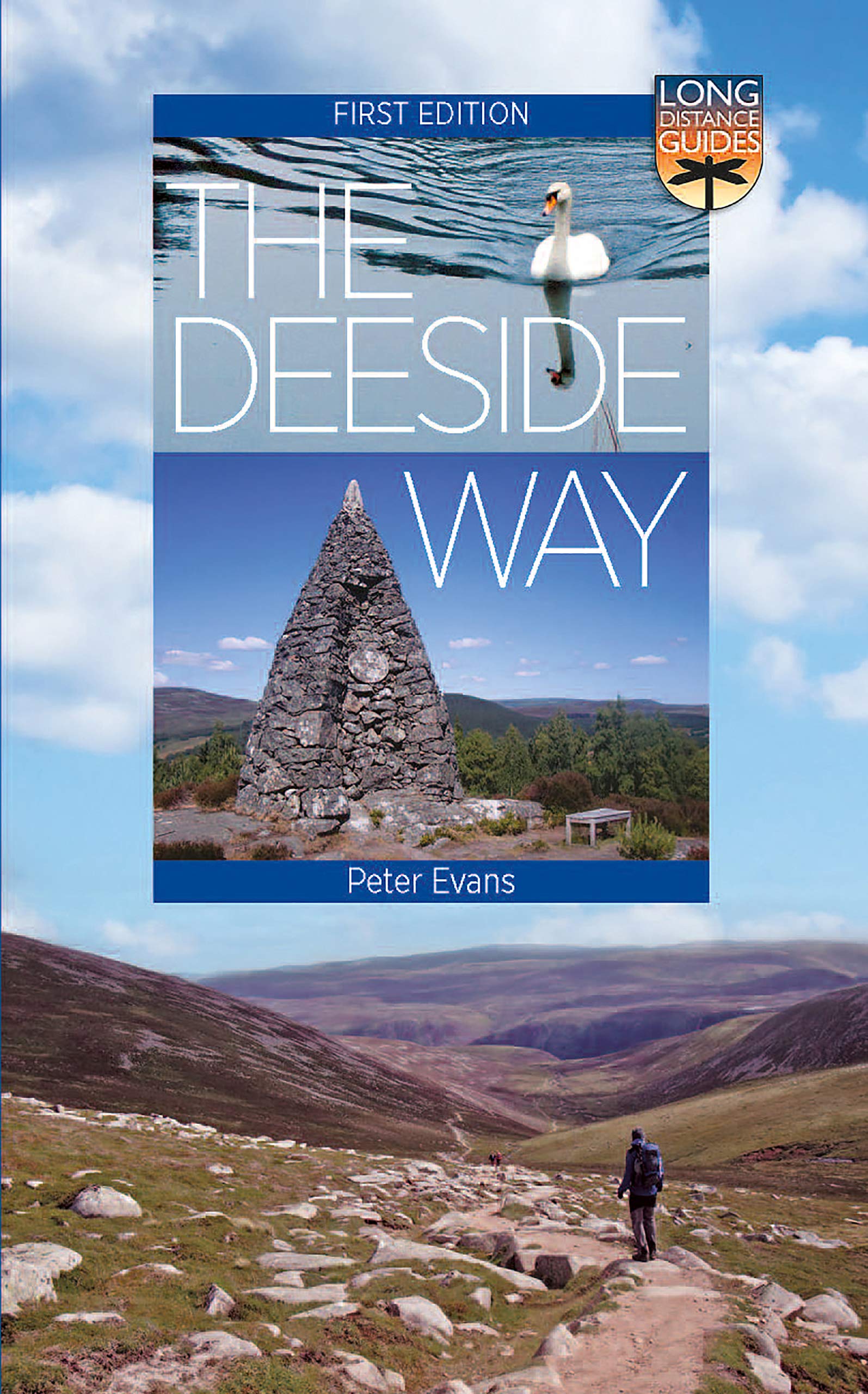
- The Deeside Way: Long Distance Guide
- The Deeside Way is a long-distance path running for 66km (41 miles) from Aberdeen, the oil capital of Europe, to Ballater in Royal Deeside in the Cairngorms National Park. Mainly following the course of old Royal Deeside Railway line, it is suitable for cyclists as well as walkers. There is much to be seen along the Way of scenic beauty,... Lire la suite
- Also available from:
- The Book Depository, United Kingdom
- De Zwerver, Netherlands

De Zwerver
Netherlands
2021
Netherlands
2021
- Wandelgids The Deeside Way | Birlinn
- The Deeside Way is a long-distance path running for 66km (41 miles) from Aberdeen, the oil capital of Europe, to Ballater in Royal Deeside in the Cairngorms National Park. Mainly following the course of old Royal Deeside Railway line, it is suitable for cyclists as well as walkers. There is much to be seen along the Way of scenic beauty,... Lire la suite
Bol.com
Netherlands
Netherlands
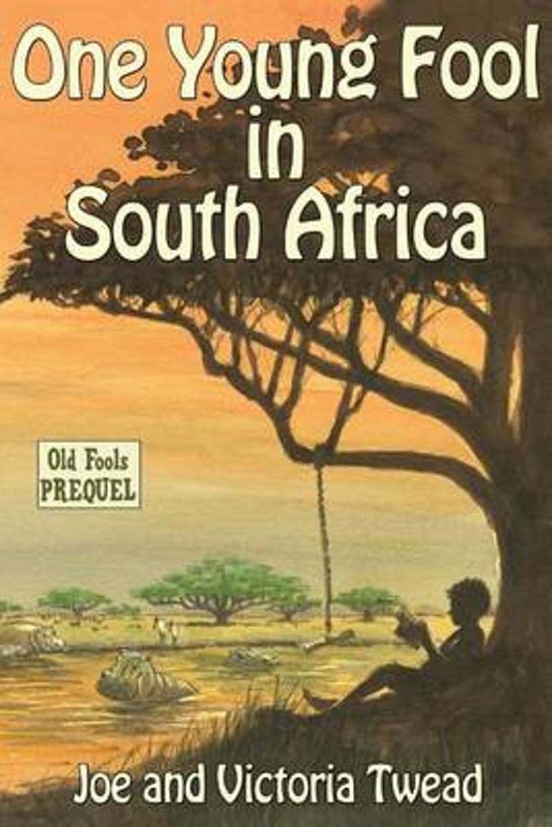
- One Young Fool in South Africa
- "Have I ever told you about my seventh birthday?" "Only a million times." Who is Joe Twead? Where did he come from? What happened before Joe met Victoria and they moved to a crazy Spanish mountain village? Dark, funny, and often magical, Joe vividly paints his childhood memories despite constant heckling from Victoria at his elbow as he writes. Lire la suite
- Also available from:
- Bol.com, Belgium
Bol.com
Belgium
Belgium
- One Young Fool in South Africa
- "Have I ever told you about my seventh birthday?" "Only a million times." Who is Joe Twead? Where did he come from? What happened before Joe met Victoria and they moved to a crazy Spanish mountain village? Dark, funny, and often magical, Joe vividly paints his childhood memories despite constant heckling from Victoria at his elbow as he writes. Lire la suite
Bol.com
Netherlands
Netherlands
- Zuidelijk Afrika
- Zuidelijk Afrika is een gebied met schitterende bergketens, uitgestrekte vlaktes, woeste woestijnen, snelstromende rivieren en bijzondere kustgebieden. In deze regio liggen enkele van de topbestemmingen van een groot aantal reizigers. Bij het horen van het woord safari moet men onmiddellijk aan dit gebied denken, en ook over de indrukwekkende... Lire la suite
- Also available from:
- Bol.com, Belgium
Bol.com
Belgium
Belgium
- Zuidelijk Afrika
- Zuidelijk Afrika is een gebied met schitterende bergketens, uitgestrekte vlaktes, woeste woestijnen, snelstromende rivieren en bijzondere kustgebieden. In deze regio liggen enkele van de topbestemmingen van een groot aantal reizigers. Bij het horen van het woord safari moet men onmiddellijk aan dit gebied denken, en ook over de indrukwekkende... Lire la suite

The Book Depository
United Kingdom
United Kingdom
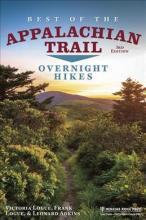
- Best of the Appalachian Trail: Overnight Hikes
- Overnight Hikes Lire la suite
- Also available from:
- Bol.com, Netherlands
- Bol.com, Belgium
Bol.com
Netherlands
Netherlands
- Best of the Appalachian Trail
- Victoria Logue appears as principal author on the previous edition's published title page. Lire la suite
Bol.com
Belgium
Belgium
- Best of the Appalachian Trail
- Victoria Logue appears as principal author on the previous edition's published title page. Lire la suite

Stanfords
United Kingdom
2016
United Kingdom
2016
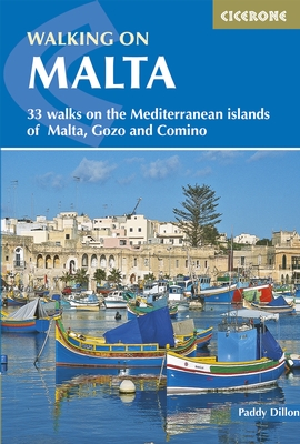
- Walking on Malta
- This guidebook describes 33 half- and full day walks on the islands of Malta, Gozo and Comino. Basking in the Mediterranean sunshine between Sicily and Africa, the islands have a colourful and complex history from the Neolithic and the Medieval to the present day. The routes range from 2.5-30km, beginning with a short heritage trail around the... Lire la suite
- Also available from:
- The Book Depository, United Kingdom
- Bol.com, Netherlands
- Bol.com, Belgium
- De Zwerver, Netherlands

The Book Depository
United Kingdom
2016
United Kingdom
2016
- Walking on Malta
- 33 walks on the Mediterranean islands of Malta, Gozo and Comino Lire la suite

Bol.com
Netherlands
2016
Netherlands
2016
- Walking on Malta
- This guidebook describes 33 half- and full day walks on the islands of Malta, Gozo and Comino. Basking in the Mediterranean sunshine between Sicily and Africa, the islands have a colourful and complex history from the Neolithic and the Medieval to the present day. The routes range from 2.5-30km, beginning with a short heritage trail around the... Lire la suite
Bol.com
Belgium
2016
Belgium
2016
- Walking on Malta
- This guidebook describes 33 half- and full day walks on the islands of Malta, Gozo and Comino. Basking in the Mediterranean sunshine between Sicily and Africa, the islands have a colourful and complex history from the Neolithic and the Medieval to the present day. The routes range from 2.5-30km, beginning with a short heritage trail around the... Lire la suite
De Zwerver
Netherlands
2016
Netherlands
2016
- Wandelgids Walking on Malta | Cicerone
- This guidebook describes 33 walks on Malta and its neighbouring islands of Gozo and Comino. Walks generally range from 3 to 17 km, and include Valetta, heritage trails, coastal walks and explorations inland, including the 30km 'Victoria Lines' route between Mgarr and Bahar ic-Caghaq. Malta offers year-round walking. Lire la suite
Bol.com
Netherlands
Netherlands
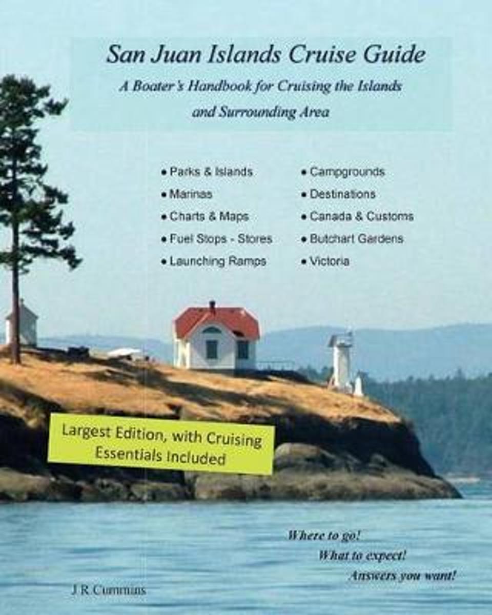
- San Juan Islands Cruise Guide
- If you are planning to visit the San Juan s by boat and are wondering where to go, what to expect, and how to get there, this guide is written for you.Written by a boater, and for boaters that are planning to visit the San Juan's and surrounding area. All the parks, resorts, marinas, cities and launching ramps are included with reviews and... Lire la suite
- Also available from:
- Bol.com, Belgium
Bol.com
Belgium
Belgium
- San Juan Islands Cruise Guide
- If you are planning to visit the San Juan s by boat and are wondering where to go, what to expect, and how to get there, this guide is written for you.Written by a boater, and for boaters that are planning to visit the San Juan's and surrounding area. All the parks, resorts, marinas, cities and launching ramps are included with reviews and... Lire la suite
Cartes

Stanfords
United Kingdom
United Kingdom
- British Columbia Pocket Road Atlas
- Pocket road atlas of British Columbia presenting the whole province at 1:1,500,000, plus enlargements for the Vancouver - Fraser Valley and Saanich Peninsula - Cowichan Valley areas, plus five downtown street plans including Vancouver and further 26 municipal maps.Road network, from motorways to selected loose surface and unimproved roads is... Lire la suite

Stanfords
United Kingdom
United Kingdom
- British Columbia - Alberta FastTrack
- British Columbia and Alberta, including the Banff and Jasper National Parks, on an indexed, double-sided road map presenting both provinces together at 1:2,000,000, plus more detailed mapping of the region’s main urban areas including Vancouver, Victoria, Calgary, etc.On one side both provinces are shown together at 1:2m with their road network... Lire la suite

Stanfords
United Kingdom
United Kingdom
- Africa Overland - Cairo to Cape Town ITMB Travel Atlas
- The Cairo to Cape Town Route presented by ITMB in a handy-size A5 paperback atlas with extracts from the publishers’ mapping of the continent at 1:3,400,000, plus 50 additional pages of large city centre street plans of main cities and/or popular locations such as Victoria Falls. Coverage of the countries along the route is indicated on our... Lire la suite

Stanfords
United Kingdom
United Kingdom
- High Country Victoria - North West Hema Explorer Map
- Part of a series of 4 waterproof maps of the Victorian High Country by Hema at 1:100,000. Lire la suite

Stanfords
United Kingdom
United Kingdom
- British Columbia ITMB Pocket Road Atlas
- 75-page, A5 paperback atlas of British Columbia from the Vancouver based ITMB, with street plans of central Vancouver, Victoria and Whistler Village, plus enlargements for the southern tip of the Vancouver Island, the environs of Vancouver and the recreational area around Whistler.The southern half of the province, including most of the Queen... Lire la suite
Stanfords
United Kingdom
United Kingdom
- High Country Victoria - North East Hema Explorer Map
- Part of a series of 4 waterproof maps of the Victorian High Country by Hema at 1:100,000. Lire la suite

Stanfords
United Kingdom
United Kingdom
- Lagos
- Large, indexed street plan Lagos, with more detailed coverage of Ikeja district, Victoria Island and Lagos island. On the main map at 1;35,000 coverage extends from Victoria Island in the south-east to Abule-Egba district in the north-west and thus comfortably includes the international airport. Main roads are named, as are districts, and... Lire la suite

Stanfords
United Kingdom
United Kingdom
- British Columbia - Alberta MapArt
- British Columbia and Alberta, including the Banff and Jasper National Parks, on an indexed, double-sided road map presenting both provinces together at 1:2,000,000, plus more detailed mapping of the region’s main urban areas including Vancouver, Victoria, Calgary, etc.On one side both provinces are shown together at 1:2m with their road network... Lire la suite

Stanfords
United Kingdom
United Kingdom
- Greater Victoria BC MapArt
- Double-sided, indexed street plan of Greater Victoria and the Saanich Peninsula at 1:27,000, with downtown Victoria shown in greater detail at 1:15,000. Coverage includes Colwood, Esquimalt, Langford, Oak Bay and Sidney.Also provided is road map showing the area covered by the street plan with the adjoining part of the Vancouver Island at... Lire la suite

Stanfords
United Kingdom
2018
United Kingdom
2018
- The Great War 1914 - 1918 IGN Map
- Excellent World War I commemorative map from the IGN presenting an overview of the Western Front supported by three more detailed enlargements of the main battlefields including the Somme area, and highlighting 15 special Remembrance Trails, remaining trenches, numerous memorial sites, museums, cemeteries, etc.Prepared by the IGN in... Lire la suite
Stanfords
United Kingdom
United Kingdom
- High Country Victoria - South East Hema Explorer Map
- Part of a series of 4 waterproof maps of the Victorian High Country by Hema at 1:100,000. Lire la suite

Stanfords
United Kingdom
United Kingdom
- Lower Glenelg and Discovery Bay: The Great South-West Walk Route, VIC/SA
- Lower Glenelg and Discovery Bay in the south-western corner of Victoria on a contoured and GPS compatible map at 1:50,000 from Carto-Graphics highlighting the course of the Great South-West Walk hiking trail. Coverage starts at Portland, showing both the coastal trail across the Discovery Bay Coastal Park and the inland variant through the... Lire la suite

Stanfords
United Kingdom
United Kingdom
- Victoria FastTrack
- Victoria on an indexed, double-sided, waterproof and tear-resistant street plan, showing on one side the city at 1:25,000 with its downtown area presented in greater detail at 1:15,000. On the reverse coverage of the main map is extended westwards beyond View Royal to include Colwood and Langford. Also included here is a road map presenting the... Lire la suite

Stanfords
United Kingdom
United Kingdom
- Rincon de la Victoria CNIG Topo 1053-4
- Topographic coverage of mainland Spain at 1:25,000 published by the Centro Nacional de Información Geograficá, the country’s civilian survey organization. The maps have contours at 10m intervals and colouring and/or graphics to show different types of vegetation or land use. Boundaries of national parks and other protected areas are marked. In... Lire la suite
Stanfords
United Kingdom
United Kingdom
- High Country Victoria - South West Hema Explorer Map
- Part of a series of 4 waterproof maps of the Victorian High Country by Hema at 1:100,000. Lire la suite