Stanfords
United Kingdom
United Kingdom
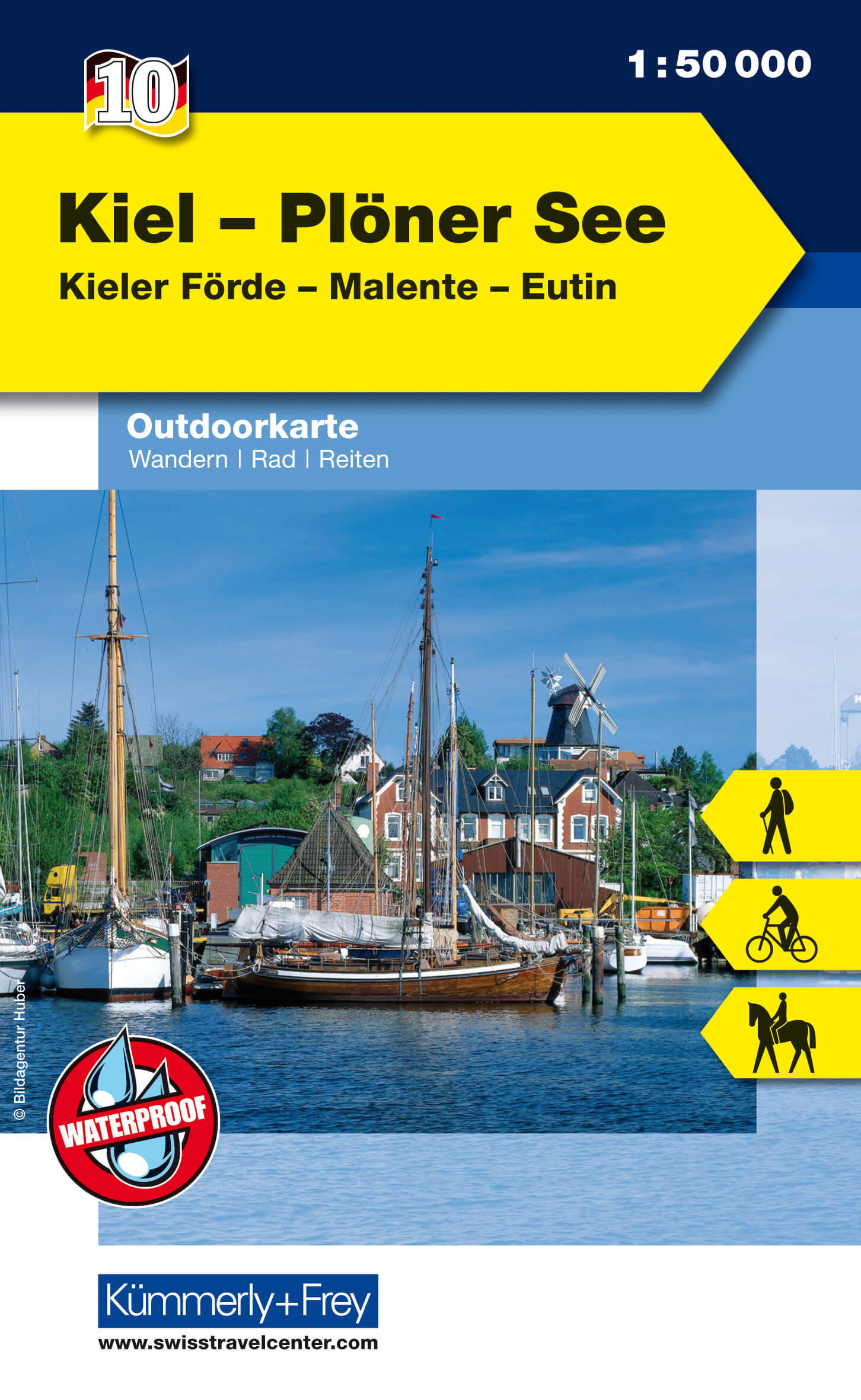
- Kiel - Großer Plöner See 50K Kümmerly + Frey Map No. 10
- Kiel and Lake Plöner, the largest lake in Schleswig-Holstein, at 1:50,000 from Kümmerly+Frey in a series GPS compatible, double-sided maps printed on durable, waterproof and tear-resistant plastic paper; contoured, with hiking and cycle routes, other recreational activities, etc.Maps in this series are at a scale of either 1:50,000 or 1:35,000.... Lire la suite
- Also available from:
- De Zwerver, Netherlands
De Zwerver
Netherlands
Netherlands
- Wandelkaart 10 Outdoorkarte Kiel - Plöner See | Kümmerly & Frey
- Wandern, Rad, Reiten. Kieler Förde, Malente, Eutin Kümmerly und Frey Deutschland Outdoorkarte. 1. Auflage Laufzeit bis 2015. Lire la suite