De Zwerver
Netherlands
Netherlands
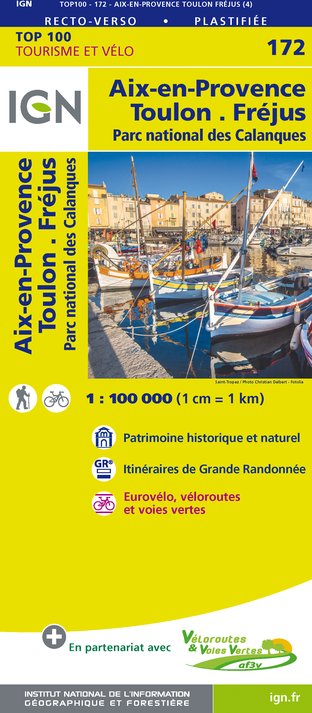
- Fietskaart - Wegenkaart - landkaart 172 Toulon - Aix en Provence - Frejus | IGN - Institut Géographique National
- Map No. 172, Toulon - Aix-en-Provence, at 1:100,000, part of the TOP100 series from the Institut Géographique National (IGN). These exceptionally detailed, contoured and GPS compatible road maps which include English language map legend are ideal for exploring the French countryside by car, by bike, or even on foot. Used by millions of locals... Lire la suite