Stanfords
United Kingdom
United Kingdom
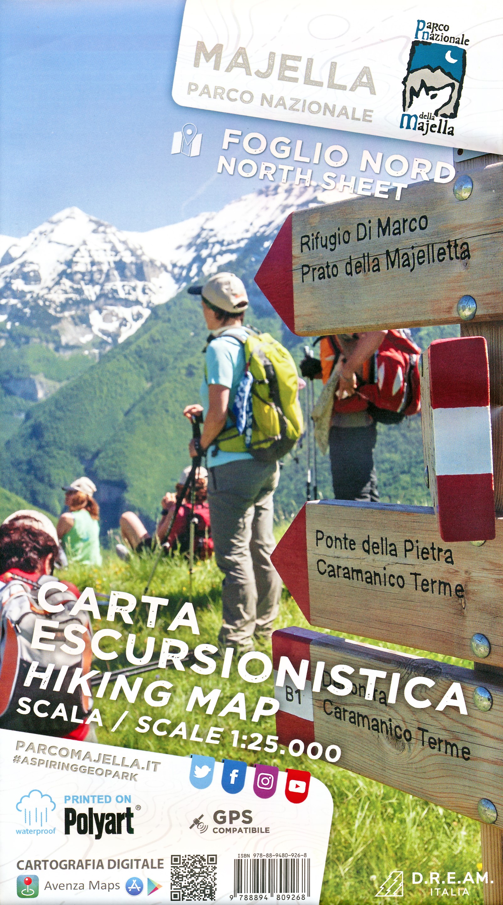
- Majella 6-Map Set
- Parco Nazionale della Maiella in the Abruzzo region of Italy presented by Societá Editrice Ricerche in a set of six handy size, double-sided, contoured and GPS compatible maps at 1:25,000 with cartography of the Italian topographic survey and highlighting for waymarked trails, climbing sites, refuges, etc.Each map measures either 62 or 89cm x... Lire la suite