Stanfords
United Kingdom
United Kingdom
- Les Diablerets Swisstopo 1285
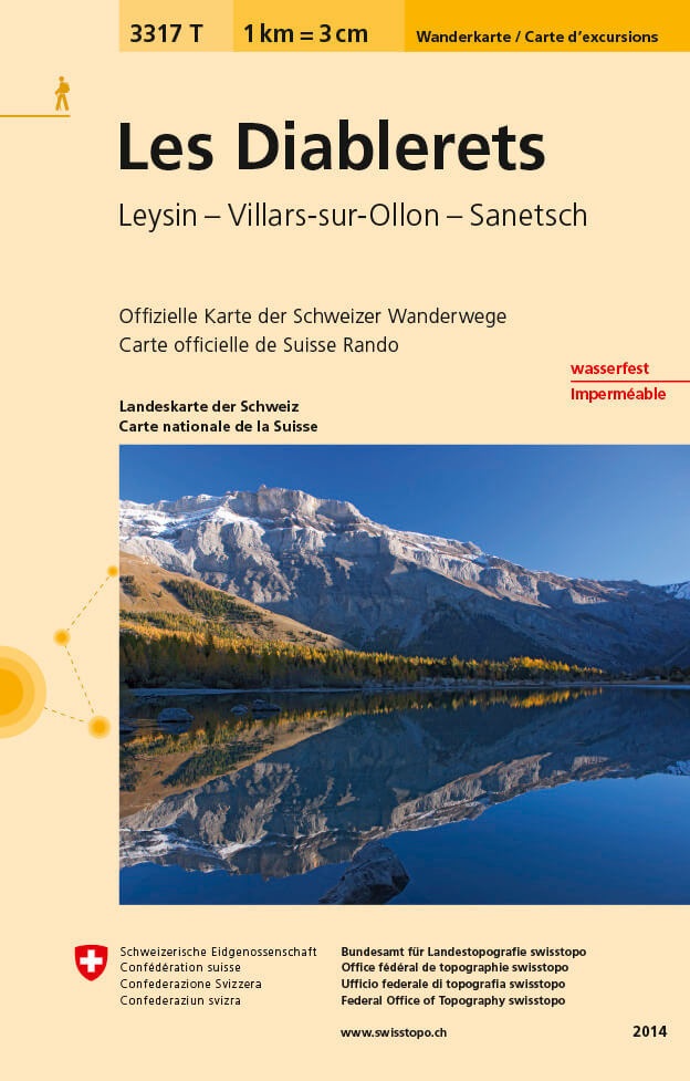
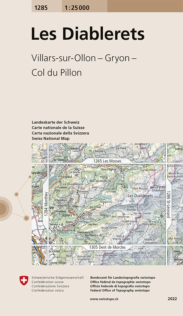
- Map No. 1285, Les Diablerets, in the topographic survey of Switzerland at 1:25,000 from Swisstopo, with coverage extending from Leysin, the resort of Les Diablerets and Col du Pillon in the north to Bex in the south-western corner of the map.Swiss topographic survey at 1:25,000 covers the whole country on 247 small format sheets, with special... Lire la suite
- Also available from:
- De Zwerver, Netherlands
De Zwerver
Netherlands
Netherlands
- Wandelkaart - Topografische kaart 1285 Les Diablerets | Swisstopo
- Map No. 1285, Les Diablerets, in the topographic survey of Switzerland at 1:25,000 from Swisstopo, with coverage extending from Leysin, the resort of Les Diablerets and Col du Pillon in the north to Bex in the south-western corner of the map.Swiss topographic survey at 1:25,000 covers the whole country on 247 small format sheets, with special... Lire la suite