
Stanfords
United Kingdom
- Le Perche Parc Naturel Régional à pied FFRP Topo-guide No. PN16
- Le Perche Parc Naturel Régional à pied, FFRP topo-guide Ref. No. PN16, with 20 day walks of varying length and difficulty in the park. Each walk is presented on a separate colour extract from IGN’s topographic survey of France at 1:25,000, with its description cross-referenced to the map. Current edition of this title was published in May... Lire la suite

Stanfords
United Kingdom
- La Brenne Parc Naturel Régional IGN 83309
- Parc Naturel Régional de la Brenne east of Poitiers on a detailed map at 1:60,000 prepared by the IGN in collaboration with the park authorities, the FFRP and various tourist organizations. Current edition of this map was published in summer 2014.The map highlights numerous local and long-distance hiking trails, including specially selected... Lire la suite

Stanfords
United Kingdom
- Presqu`ile de Crozon - Camaret-sur-Mer IGN 0418ET
- Topographic survey of France at 1:25,000 in IGN`s excellent TOP25 / Série Bleue series. All the maps are GPS compatible, with a 1km UTM grid plus latitude and longitude lines at 5’ intervals. Contours are at 5m intervals except for mountainous areas where the maps have contours at 10m intervals, vividly enhanced by hill shading and graphics for... Lire la suite

Stanfords
United Kingdom
- Bellegarde-sur-Valserine - Grand Cret d`Eau IGN 3330OT
- Topographic survey of France at 1:25,000 in IGN`s excellent TOP25 / Série Bleue series. All the maps are GPS compatible, with a 1km UTM grid plus latitude and longitude lines at 5’ intervals. Contours are at 5m intervals except for mountainous areas where the maps have contours at 10m intervals, vividly enhanced by hill shading and graphics for... Lire la suite

Stanfords
United Kingdom

Stanfords
United Kingdom
- Chinon - Langeais - Azay-le-Rideau IGN 1723ET
- Topographic survey of France at 1:25,000 in IGN`s excellent TOP25 / Série Bleue series. All the maps are GPS compatible, with a 1km UTM grid plus latitude and longitude lines at 5’ intervals. Contours are at 5m intervals except for mountainous areas where the maps have contours at 10m intervals, vividly enhanced by hill shading and graphics for... Lire la suite

Stanfords
United Kingdom

Stanfords
United Kingdom
- Aubagne - La Ciotat - Massif de la Sainte-Baume IGN 3245ET
- De wandelkaart die de perfectie benadert! Werkelijk alle topografische details zijn er op te vinden; van hoogtelijnen tot aan bruggetjes en allerlei wandelpaden. Daarnaast hebben de makers een flinke dosis toeristische informatie op de kaart verwerkt: campings, gites d étape; restaurants en ingetekende doorgaande wandelpaden, de grandes... Lire la suite

Stanfords
United Kingdom
Stanfords
United Kingdom
- Belle-Ile – Iles d’Houat & d’Hoëdic IGN Mini M0822OT
- Topographic survey of France at 1:25,000 in IGN`s excellent TOP25 / Série Bleue series. All the maps are GPS compatible, with a 1km UTM grid plus latitude and longitude lines at 5’ intervals. Contours are at 5m intervals except for mountainous areas where the maps have contours at 10m intervals, vividly enhanced by hill shading and graphics for... Lire la suite

Stanfords
United Kingdom
- Bagneres-de-Luchon - Lac d`Oo IGN WATERPROOF 1848OTR
- Topographic survey of France at 1:25,000 in IGN`s excellent TOP25 / Série Bleue series. All the maps are GPS compatible, with a 1km UTM grid plus latitude and longitude lines at 5’ intervals. Contours are at 5m intervals except for mountainous areas where the maps have contours at 10m intervals, vividly enhanced by hill shading and graphics for... Lire la suite

Stanfords
United Kingdom
- Bourg-Madame - Pic Carlit - Col de Puymorens IGN 2249OT
- Topographic survey of France at 1:25,000 in IGN`s excellent TOP25 / Série Bleue series. All the maps are GPS compatible, with a 1km UTM grid plus latitude and longitude lines at 5’ intervals. Contours are at 5m intervals except for mountainous areas where the maps have contours at 10m intervals, vividly enhanced by hill shading and graphics for... Lire la suite
Stanfords
United Kingdom
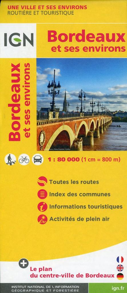
- Bordeaux and its Environs IGN 88400
- Topographic survey of France at 1:25,000 in IGN`s excellent TOP25 / Série Bleue series. All the maps are GPS compatible, with a 1km UTM grid plus latitude and longitude lines at 5’ intervals. Contours are at 5m intervals except for mountainous areas where the maps have contours at 10m intervals, vividly enhanced by hill shading and graphics for... Lire la suite

Stanfords
United Kingdom
- Saint-Remy-de-Provence - Tarascon - Chaine des Alpilles IGN 3042OT
- Topographic survey of France at 1:25,000 in IGN`s excellent TOP25 / Série Bleue series. All the maps are GPS compatible, with a 1km UTM grid plus latitude and longitude lines at 5’ intervals. Contours are at 5m intervals except for mountainous areas where the maps have contours at 10m intervals, vividly enhanced by hill shading and graphics for... Lire la suite

Stanfords
United Kingdom
- Nerondes - Avord IGN 2424SB
- Topographic survey of France at 1:25,000 in IGN`s excellent TOP25 / Série Bleue series. All the maps are GPS compatible, with a 1km UTM grid plus latitude and longitude lines at 5’ intervals. Contours are at 5m intervals except for mountainous areas where the maps have contours at 10m intervals, vividly enhanced by hill shading and graphics for... Lire la suite