Stanfords
United Kingdom
United Kingdom
- Grossglockner - Sonnblick - Kaprun - Zell am See F&B WK120
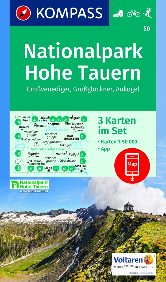
- Grossglockner - Sonnblick - Kaprun - Zell am See area of the Austrian Alps presented at 1:50,000 in a series of contoured and GPS compatible outdoor leisure map from Freytag & Berndt with hiking and cycling routes, mountain huts, campsites and youth hostels, local bus stops, plus other tourist information.To see the list of currently available... Lire la suite