Stanfords
United Kingdom
United Kingdom
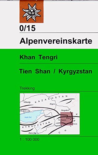
- Tian Shan - Khan Tengri - Pobeda Peak - Lenin Peak terraQuest Trekking Map
- Double-sided, waterproof and tear-resistant, contoured and GPS compatible map from TerraQuest, covering the whole of Kyrgyzstan at 1:1,000,000, with additional panels providing more detailed coverage for trekking at scales between 1:100,000 and 1:125,000 and covering the Karakol region, Ala-Archa, Inylchek area with Jengish Chokusu (Pobeda... Lire la suite