Stanfords
United Kingdom
United Kingdom
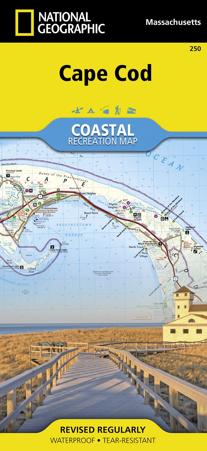
- Cape Cod National Seashore MA NGS Trails Illustrated Map 250
- Map No. 250, Cape Cod National Seashore, MA, in an extensive series of GPS compatible, contoured hiking maps of USA’s national and state parks or forests and other popular recreational areas. Cartography based on the national topographic survey, with additional tourist information.The maps, with most titles now printed on light, waterproof and... Lire la suite
- Also available from:
- The Book Depository, United Kingdom
- Bol.com, Netherlands
- Bol.com, Belgium
- De Zwerver, Netherlands


Bol.com
Netherlands
Netherlands
- Cape Cod
- Waterproof Tear-Resistant Topographic MapNational Geographic's Cape Cod Coastal Recreation map is the ideal companion for adventures along shore and on the water.National Geographic's new family of Coastal Recreation maps are two-sided, waterproof maps designed specifically for recreation along America's most beautiful shorelines. These... Lire la suite
Bol.com
Belgium
Belgium
- Cape Cod
- Waterproof Tear-Resistant Topographic MapNational Geographic's Cape Cod Coastal Recreation map is the ideal companion for adventures along shore and on the water.National Geographic's new family of Coastal Recreation maps are two-sided, waterproof maps designed specifically for recreation along America's most beautiful shorelines. These... Lire la suite
De Zwerver
Netherlands
Netherlands
- Wandelkaart - Topografische kaart 250 Cape Cod | National Geographic
- Prachtige geplastificeerde topografische wandel- en vaarkaart van het Cape Cod kustgebied. Met alle recreatieve voorzieningen als campsites, stranden, en watersport maar ook met topografische details en wandelroutes ed. Door uitgekiend kleurgebruik zeer prettig in gebruik. Scheur en watervast! National Geographic's Cape Cod Coastal... Lire la suite