
Brava
Description
 One of the smaller islands, Brava - Wild - can only be reached by boat from Santiago and Fogo. The mountainous island is still relatively untouched by tourism, mainly because of the absence of beaches. The weathered and eroded appearance of this round island hides the fact that it is a stratovolcano, like neighbour Fogo, but older. This is the cycle of the earth, volcanoes rising and then quickly weathering away.
The interior of Brava is green and offers a good environment for agriculture, counting many exotic harvests. Small hamlets and scattered farms populate the surroundings of Monte Fontainhas, 976 m high. The coastal region is rugged and arid.
Brava lags behind in comparison with Fogo or Santo Antão on the subject of tourism. The advantage of all this is that you will find a unique and quiet island with good hiking options.
Liens
Données
Rapports
Guides et cartes
Hébergement
Organisations
Voyagistes
GPS
Autre
Livres

- Also available from:
- De Zwerver, Netherlands

United Kingdom
2018
- Walking on Madeira: 60 mountain and levada routes on Madeira and Porto Santo
- This guide describes a varied selection of 57 walks on the Portuguese island of Madeira, exploring the dramatic cliff coastline, scenic levadas (irrigation channels), dense laurisilva `cloud` forests and high mountain peaks, plus three walks on neighbouring Porto Santo. There are routes to suit all abilities, from easy, level levada walks to... Lire la suite
- Also available from:
- The Book Depository, United Kingdom
- De Zwerver, Netherlands

United Kingdom
2018
- Walking on Madeira
- 60 mountain and levada routes on Madeira and Porto Santo Lire la suite
Netherlands
2018
- Wandelgids Walking on Madeira | Cicerone
- A walking guide to the islands of Madeira and Porto Santo. Selection of varied day walks exploring Madeira's network of levadas (water channels) as well as routes across steep and rugged mountains, with slopes of bare rock or laurisilva 'cloud' forest. The neighbouring island of Porto Santo offers easy walking and a sandy beach. Lire la suite

United Kingdom
- Also available from:
- De Zwerver, Netherlands


United Kingdom


United Kingdom
2017
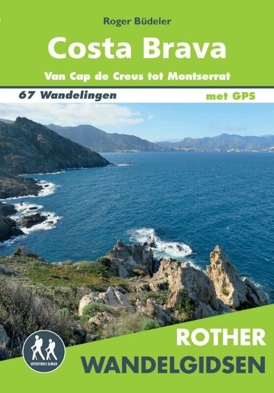
- Costa Brava and Barcelona
- 6 car tours, 55 long and short walks with GPS Lire la suite
- Also available from:
- De Zwerver, Netherlands
Netherlands
2017
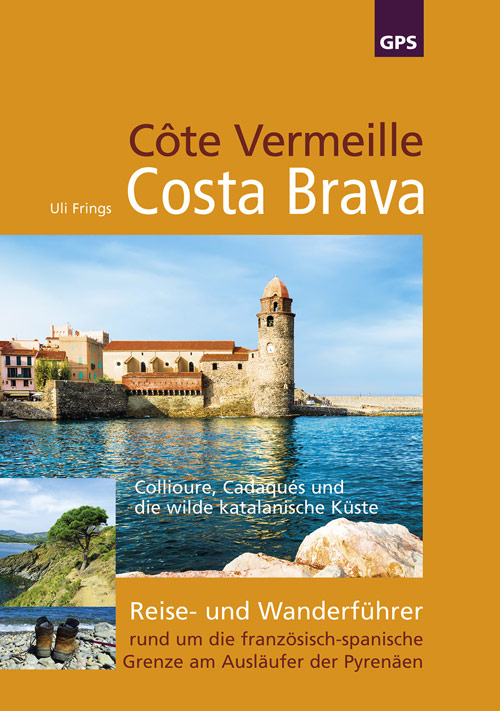
- Wandelgids Côte Vermeille, Costa Brava, Katalonien | Uli Frings Verlag
- Reise- und Wanderführer rund um die französisch-spanische Grenze am Ausläufer der Pyrenäen Lire la suite
Netherlands
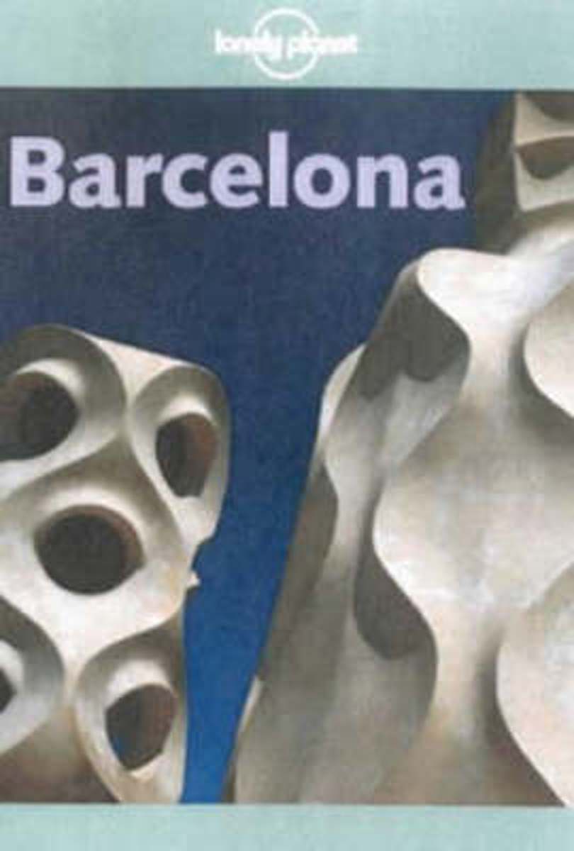
- Barcelona
- Barcelona is, of course, singular in its architecture and art - from the intricately carved edifices of its Gothic quarter; Gaudi's moderniste structures; and, the seminal surrealist works of Picasso and Miro that pegged Barcelona as an important birthplace for 20th-century art. An informative narrative points out interesting facts and explains... Lire la suite
- Also available from:
- Bol.com, Belgium
Belgium
- Barcelona
- Barcelona is, of course, singular in its architecture and art - from the intricately carved edifices of its Gothic quarter; Gaudi's moderniste structures; and, the seminal surrealist works of Picasso and Miro that pegged Barcelona as an important birthplace for 20th-century art. An informative narrative points out interesting facts and explains... Lire la suite


Netherlands
- BARCELONA CITYGUIDE 4E ING
- Barcelona is, of course, singular in its architecture and art - from the intricately carved edifices of its Gothic quarter; Gaudi's moderniste structures; and, the seminal surrealist works of Picasso and Miro that pegged Barcelona as an important birthplace for 20th-century art. An informative narrative points out interesting facts and explains... Lire la suite
- Also available from:
- Bol.com, Belgium
Belgium
- BARCELONA CITYGUIDE 4E ING
- Barcelona is, of course, singular in its architecture and art - from the intricately carved edifices of its Gothic quarter; Gaudi's moderniste structures; and, the seminal surrealist works of Picasso and Miro that pegged Barcelona as an important birthplace for 20th-century art. An informative narrative points out interesting facts and explains... Lire la suite

United Kingdom
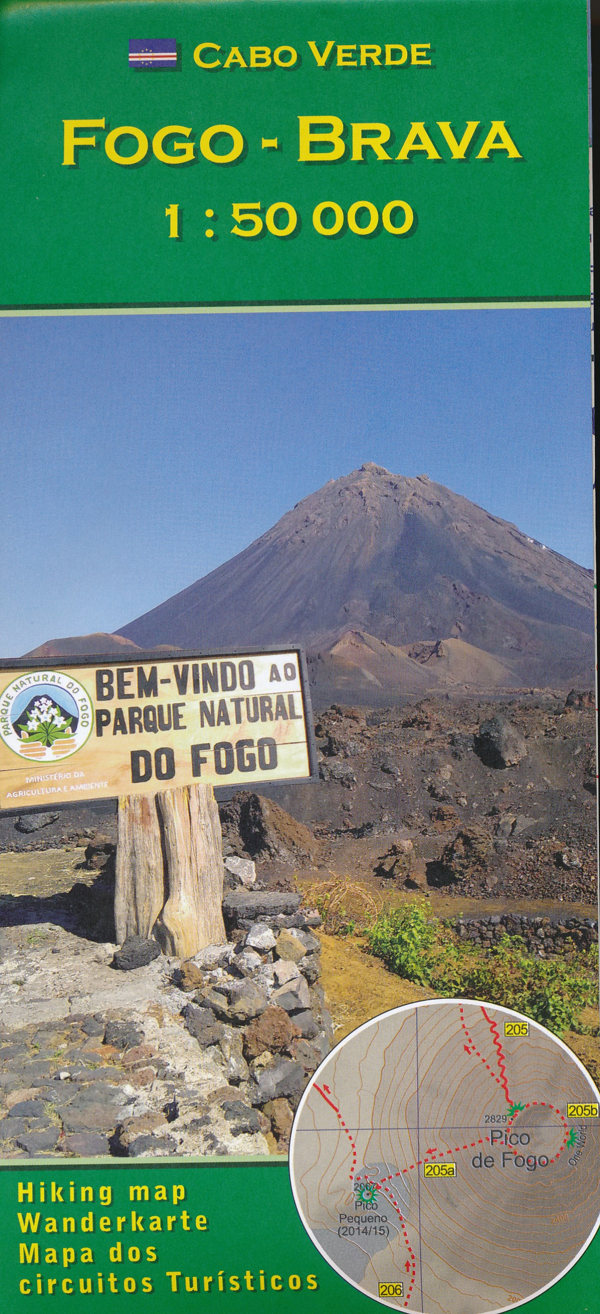
- Fogo - Brava AB Kartenverlag Hiking Map
- Fogo and Brava in the Cape Verde archipelago on a detailed, GPS compatible, contoured map at 1:50,000 from AB Kartenverlag highlighting over 50 hiking routes, with a street plan of central São Filipe.The map has contours at 100m intervals, spot heights and elevation colouring enhanced by relief shading to present the topography. Roads and... Lire la suite
- Also available from:
- De Zwerver, Netherlands
Netherlands
- Wandelkaart Fogo Brava - Kaapverdische Eilanden | AB Kartenverlag
- Fogo and Brava in the Cape Verde archipelago on a detailed, GPS compatible, contoured map at 1:50,000 from AB Kartenverlag highlighting over 50 hiking routes, with a street plan of central São Filipe.The map has contours at 100m intervals, spot heights and elevation colouring enhanced by relief shading to present the topography. Roads and... Lire la suite
Cartes

United Kingdom
- Serra de Montsant Editorial Piolet Hiking Map
- Serra de Montsant area at 1:20,000 in a series of GPS compatible maps from Editorial Piolet with cartography based on Spain’s civilian topographic survey overprinted with hiking routes and other tourist information. The overprint includes 11 recommended itinerates in the park, plus eight special walks exploring local flora.Hiking maps in the... Lire la suite

United Kingdom
- Cap de Creus Park Natural Editorial Alpina
- Cap de Creus Natural Park on the Costa Brava at 1:25,000 on a contoured and GPS compatible map from Editorial Alpina, plus a booklet which includes English language descriptions several recommended hiking trails, accommodation details, etc.Topography is presented by contours at10m intervals with relief shading and plenty of spot heights, plus... Lire la suite

United Kingdom
- Costa Brava Central: les Gavarres
- Topographic survey of Catalonia at 1:25,000 from the Institut Cartogràfic i Geològic de Catalunya, an attractive alternative to Spain’s national topographic survey at this scale, offering a much larger area per sheet with extensive tourist information and vivid presentation of vegetation and land use.These large, detailed maps have contours at... Lire la suite

United Kingdom
- Pirineu Oriental - Girona - Costa Brava
- Pirineu Oriental - Girona - Costa Brava map, covering the eastern part of the Catalan Pyrenees and the coast southwards to Pineda de Mar at 1:100,000 in the topographic survey of Catalonia published by the Institut Cartogràfic de Catalunya, with very detailed coverage of a large area and an excellent representation of the region’s topography.... Lire la suite

United Kingdom
- Pyrenees East - Barcelona - Costa Brava 500K CNIG Regional Map No. 4
- The eastern part of Spanish Pyrenees, with coverage extending along the Mediterranean coast beyond Barcelona to Tarragona, at 1:500,000 in a series of regional road maps from the country’s civilian survey organization IGN-CNIG (Instituto Geográfico Nacional - Centro Nacional de Información Geográfica), vividly presenting the topography by... Lire la suite

United Kingdom
- Sant Llorenc del Munt i l`Obac Editorial Alpina
- Sant Llorenç del Munt i l`Obac area at 1:25,000 in an extensive and very popular series of walking maps from Editorial Alpina. Contours are at 10m intervals, enhanced by relief shading and vegetation colouring. The map has UTM grid and 1’ margin ticks. In addition to footpaths, the overprint shows various types of accommodation (hotels,... Lire la suite
United Kingdom
- Costa Brava - l’Emporda 1 - PN Aiguamolls - l`Escala Editorial Piolet
- Costa Brava: L’Empordà, map No.1 covering PN Aiguamolls - l`Escala area, at 1:25,000 in a series of GPS compatible maps from Editorial Piolet with cartography based on Spain’s civilian topographic survey overprinted with hiking routes and other tourist information. The map covers the southern part of the publishers’ coverage of the L’Empordà... Lire la suite

United Kingdom
- Collsacabra - Vall de Sau Editorial Alpina
- This Alpina Hiking map and guidebook of Collsacabra at 1:25.000. Includes master contours at 50m, shady relief and is compatible with GPS.The guidebook includes hikes, potholing, gully descent, climbing, mountain biking and all the facts of interest. Lire la suite
United Kingdom
- Costa Brava - l’Emporda 2 - l`Escala - Pals Editorial Piolet
- Costa Brava: L’Empordà, map No.2 covering l`Escala – Pals area, at 1:25,000 in a series of GPS compatible maps from Editorial Piolet with cartography based on Spain’s civilian topographic survey overprinted with hiking routes and other tourist information. The map covers the central part of the publishers’ coverage of the L’Empordà area of... Lire la suite
United Kingdom
- Costa Brava - l’Emporda 3 - Begur - Palamos Editorial Piolet
- Costa Brava: L’Empordà, map No.3 covering Begur – Palamós area, at 1:25,000 in a series of GPS compatible maps from Editorial Piolet with cartography based on Spain’s civilian topographic survey overprinted with hiking routes and other tourist information. The map covers the southern part of the publishers’ coverage of the L’Empordà area of... Lire la suite

United Kingdom
- 3220 Cabo de la Nao to the French border Chart Atlas - 2019 Edition
- A new chart atlas covering Mediterranean Spain from Cabo de la Nao to the French border. This appealing cruising area stretches from Jávea and Dénia in the south, past the low-lying Ebro delta to the charming towns along the rugged Costa Brava in the north. It includes the cities of Valencia, Tarragona and Barcelona. The 23 sheets in the atlas... Lire la suite
United Kingdom
- Costa Brava - l’Emporda 3-Map Set Editorial Piolet
- Costa Brava: L’Empordà (3-map set) at 1:25,000 in a series of GPS compatible maps from Editorial Piolet with cartography based on Spain’s civilian topographic survey overprinted with hiking routes and other tourist information, including numerous campsites, beaches, surfing sites. Each of the three maps is also available separately.Hiking maps... Lire la suite

United Kingdom
- E4 Arquipelago de Cabo Verde
- Plans included:Porto Novo (Ilha de Santo Antão) (1:10 000)Mindelo (Porto Grande) (Ilha de São Vicente) (1:20 000)Ilha de Santa Luzia (1:not known)Porto de Tarrafal (Ilha de São Nicolau) (1:8500)Porto da Preguiça (Ilha de São Nicolau) (1:8500)Baía da Palmeira (Ilha do Sal) (1:15 000)Porto de Sal-Rei (Ilha da Boavista) (1:30 000)Porto da Praia... Lire la suite

United Kingdom
- GR 11: La Senda
- GR11 long-distance footpaths along the Spanish side of the Pyrenees in a French language guide from Rando Editions, with extracts from the publisher’s topographic series at 1:50,000 highlighting the route and mountain refuges.The guide divides the route into 40 sections and covers it from the Mediterranean, starting at Cap de Creus on the Costa... Lire la suite
United Kingdom
- L`Ardenya - Massis de Cadiretes Editorial Piolet Hiking Map
- L`Ardenya - Massis de Cadiretes area at 1:25,000 in a series of GPS compatible maps from Editorial Piolet with cartography based on Spain’s civilian topographic survey overprinted with hiking routes and other tourist information. The map covers the hinterland beyond the Costa Brava resorts of Platja d’Aro, Sant Feliu de Guíxols, Caynet de Mar,... Lire la suite