
GR7
Description
- Name GR7 (GR7)
- Début de sentier Ballon d'Alsace
- Fin de sentier Andorre-la-Vieille
- Classement Traildino MW, Marche modérée, sentier de randonnée
- Classement Traversée de montagne T1, Randonnée


7

Ballon d'Alsace - Andorra
The GR7 starts in the Vosges, near the German Border, and runs south-west. It passes the Ardèche, the Cévennes, the Haut Languedoc, and enters into the Pyrenees, to finish in Andorra. Actually, the walking trail continues into Spain.
Parts of the path run parallel with the E5, and a large part is runs parallel with the E7.
Select some tracks
☐Enllaç GR-7 Coll de Carabasa - GR-171 El Toscar, 2.8km
☐7, 13km
☐Grubria Anello GR7 Muggiò Monza, 15km
☐GR 7 Andorra - Estret de Gibraltar. Variant Olius, 16km
☐Pitres, cruce GR-7, Capilerilla, Pitres, 6.9km
☐GR 7 - Andorra, 43km
☐GR 7.5 Solsonès (Província de Lleida), 8.4km
☐GR 7.8 Conca de Barberà (Província de Tarragona), 5.8km
☐GR 7 - Catalunya (Província de Tarragona) - Part 2, 58km
☐GR 501 - GR 7 de Remiremont au Col des Perches, 57km
Carte


Liens
Données
Rapports
Guides et cartes
Hébergement
Organisations
Voyagistes
GPS
Autre
Livres

Stanfords
United Kingdom
United Kingdom
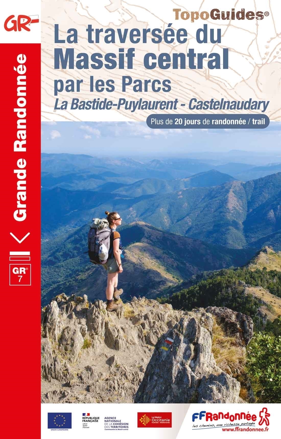
- Les Monts du Beaujolais et du Lyonnais à pied FFRP Topo-guide No. P691
- Les Monts du Beaujolais et du Lyonnais à pied, FFRP topo-guide Ref. No. P691, with 34 day walks of varying length and difficulty in the region between Mâcon and St.Etienne, including a route along the GR7 and its variants. Each walk is presented on a separate colour extract from IGN’s topographic survey of France at 1:25,000, with its... Lire la suite

The Book Depository
United Kingdom
2017
United Kingdom
2017
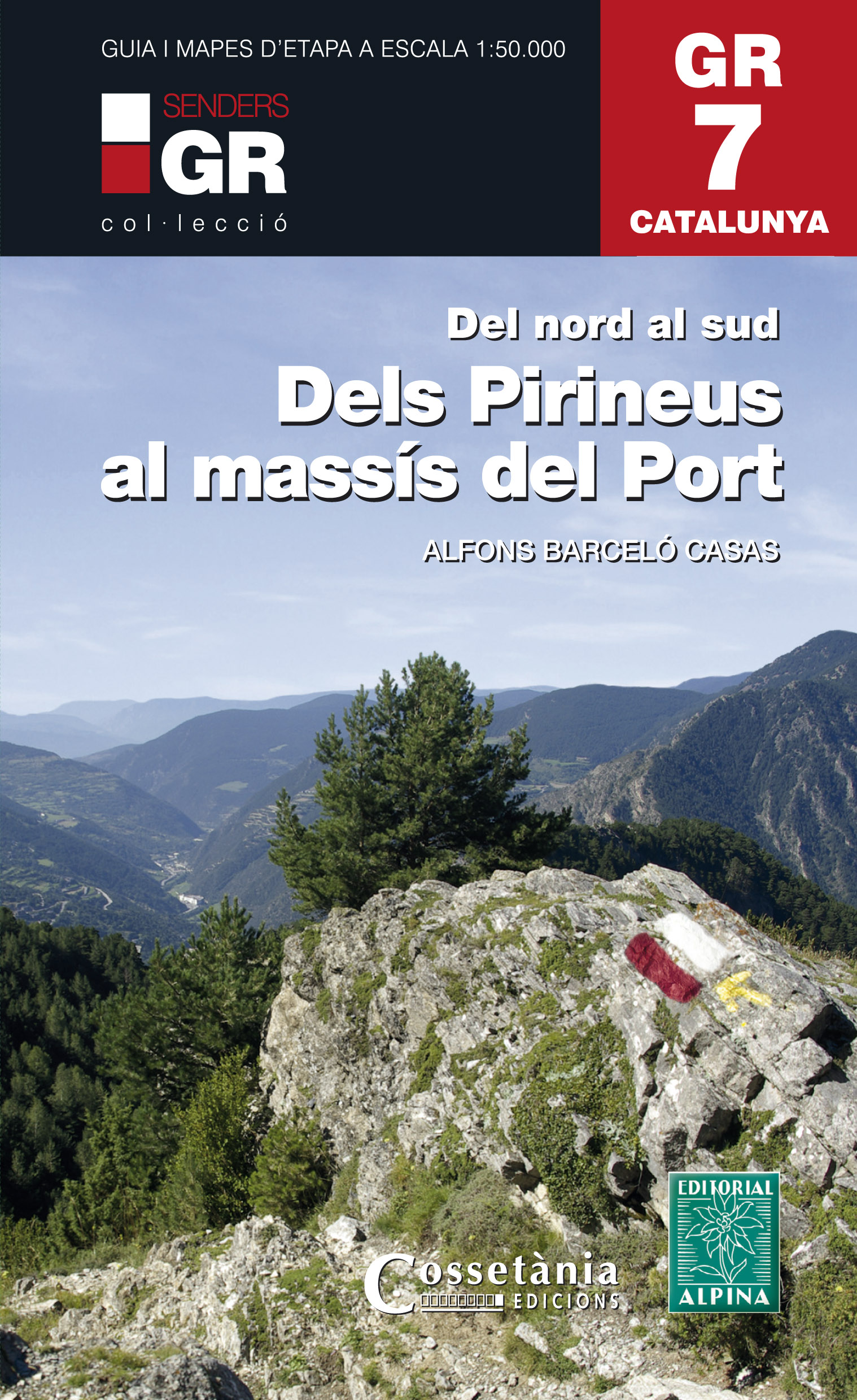
- Dels Pirineus al Massis del Port GR7 incl 15 maps
- Prachtige uitvoering van een beschrijving van de GR7 in Catalonie in 21 etappes van Porte naar Fredes, helaas wel in het Spaans. Veel details en een nauwkeurige routebeschrijving, uitgevoerd in een ringband. Nadeel is dat het een vrij zware gids is geworden. Belangrijk is echter de set losse kaarten op schaal 1:50.000; op deze topografische... Lire la suite
- Also available from:
- De Zwerver, Netherlands
De Zwerver
Netherlands
2017
Netherlands
2017
- Wandelgids GR 7 Catalunya - dels Pirineus al Massís del Port : Del nord al sud | Editorial Alpina
- Prachtige uitvoering van een beschrijving van de GR7 in Catalonie in 21 etappes van Porte naar Fredes, helaas wel in het Spaans. Veel details en een nauwkeurige routebeschrijving, uitgevoerd in een ringband. Nadeel is dat het een vrij zware gids is geworden. Belangrijk is echter de set losse kaarten op schaal 1:50.000; op deze topografische... Lire la suite

Stanfords
United Kingdom
United Kingdom
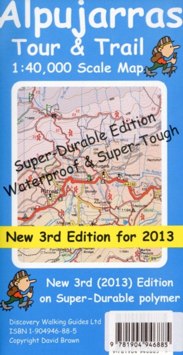
- Alpujarras Tour & Trail Super-Durable Map
- For the best adventures, use the best map. The Moorish white villages of the Alpujarras are well known to day trippers from the Costa del Sol. For walkers this is an idyllic region with stone-laid donkey trails linking the tipico villages and stretching up the southern slopes of the Sierra Nevada to Mulhacen; at 3,483 metres the highest... Lire la suite
- Also available from:
- The Book Depository, United Kingdom
- De Zwerver, Netherlands


Stanfords
United Kingdom
2021
United Kingdom
2021
- Tour du Mont-Lozere et du Causse Méjean GR6/GR68
- Tours du Mont-Lozère et du Causse Méjean, FFRP topo-guide Ref. No. 631, with the two circular tours, a 117-km Tour du Mont Lozère and a 111-km Tour du Causse Méjean, plus additional trails along the GR7 and GR70.ABOUT THE FFRP (Fédération française de la randonnée pédestre) TOPOGUIDES: published in a handy A5 paperback format, the guides are... Lire la suite
- Also available from:
- The Book Depository, United Kingdom

The Book Depository
United Kingdom
2021
United Kingdom
2021

The Book Depository
United Kingdom
2021
United Kingdom
2021
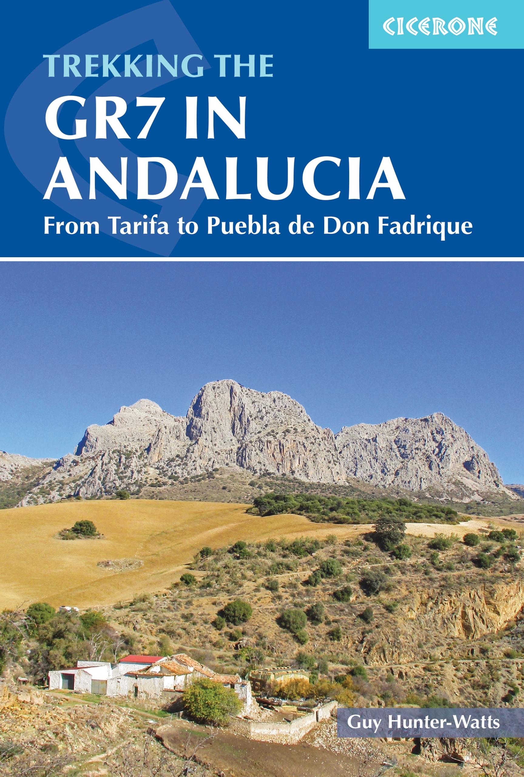
- Trekking the GR7 in Andalucia
- From Tarifa to Puebla de Don Fadrique Lire la suite
- Also available from:
- De Zwerver, Netherlands
De Zwerver
Netherlands
2021
Netherlands
2021
- Wandelgids Walking the GR7 in Andalucia | Cicerone
- From Tarifa to Puebla de Don Fadrique Lire la suite
Bol.com
Netherlands
2013
Netherlands
2013
- Alpujarras Tour & Trail Super-Durable Map
- Alpujarras Tour & Trail Super-Durable Map 3rd edition (new for 2013). The definitive map for this exciting region now includes 20 metre and 100 metre contours to give a true feel to the landscape. The new GR240 & GR7 (Gran Recorido long distance hiking routes) are detailed along with all the thirty six walking routes from Walk! the Alpujarras... Lire la suite
- Also available from:
- Bol.com, Belgium
Bol.com
Belgium
2013
Belgium
2013
- Alpujarras Tour & Trail Super-Durable Map
- Alpujarras Tour & Trail Super-Durable Map 3rd edition (new for 2013). The definitive map for this exciting region now includes 20 metre and 100 metre contours to give a true feel to the landscape. The new GR240 & GR7 (Gran Recorido long distance hiking routes) are detailed along with all the thirty six walking routes from Walk! the Alpujarras... Lire la suite
Plus de livres …
Cartes
De Zwerver
Netherlands
Netherlands
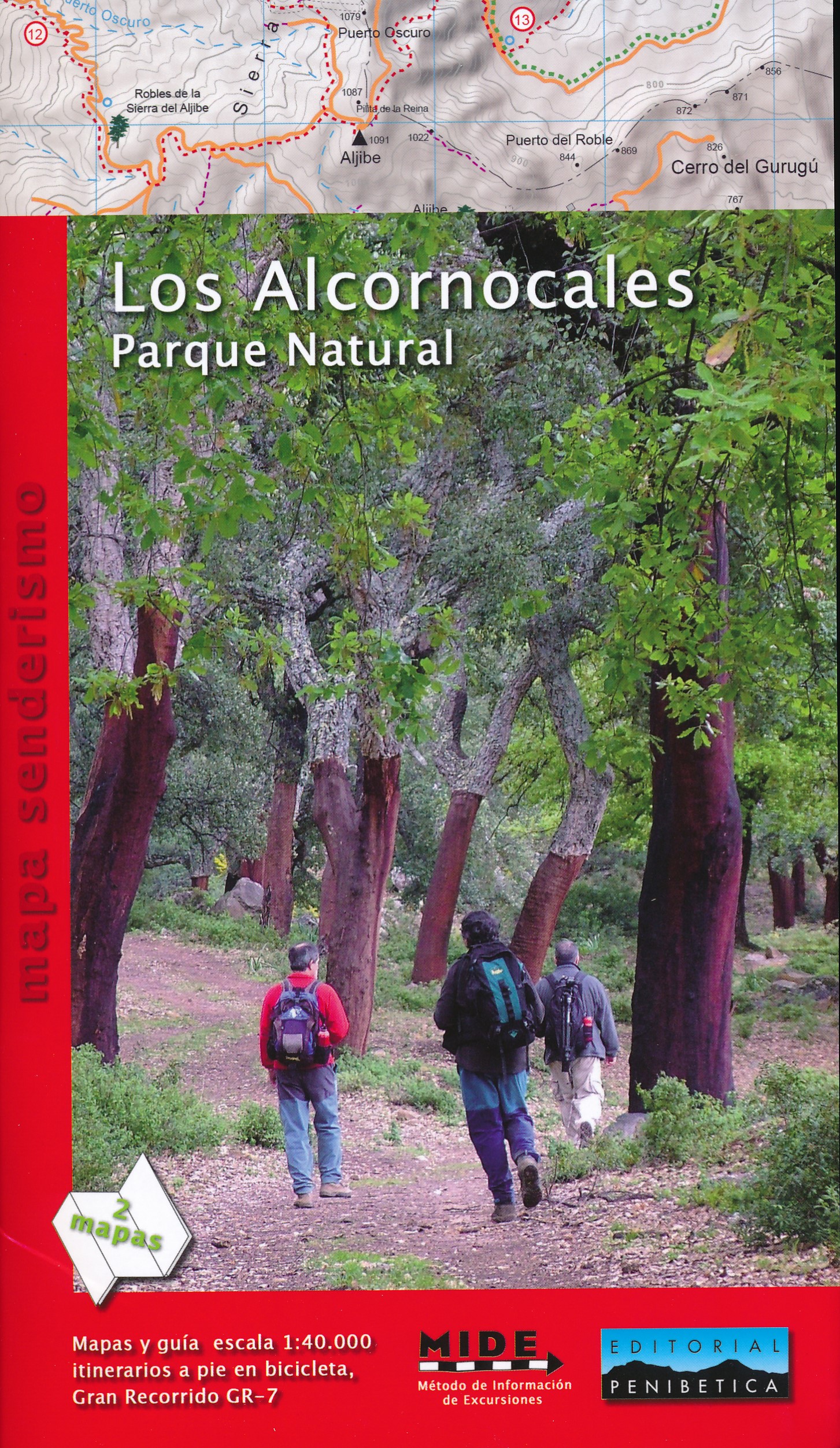
- Wandelkaart Los Alcornocales Parque Natural GR7 | Editorial Penibetica
- Een zeer uitgebreide wandelkaart van het nationale park Los Alcornocales, gelegen ten zuiden van Grazalema tot en met de kust richting Tarifa en Gibraltar. Inclusief een Spaanstalig gidsje met enkele beschreven wandelingen. Op de kaart worden hoogtelijnen, plaatselijke voorzieningen, wandelroutes en andere outdooractiviteiten meegenomen. GPS... Lire la suite

Stanfords
United Kingdom
United Kingdom
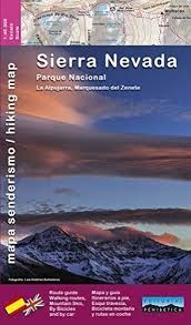
- Sierra Nevada - the Alpujarra - Marquesado del Zenete Editorial Penibetica Map and Guide
- Sierra Nevada in Spain on a contoured, GPS compatible map at 1:40,000 from Editorial Penibetica, double-sided to provide coverage of its main trekking area on one map. Accompanying English language booklet provides descriptions of over 40 walks, details of campsites and huts, etc.The map covers Alpujarras and Marquesado del Zenete, the western... Lire la suite
- Also available from:
- De Zwerver, Netherlands

Stanfords
United Kingdom
United Kingdom
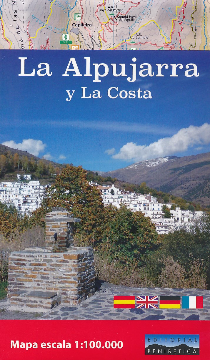
- La Alpujarra and La Costa Editorial Penibetica
- The Alpujarra region of Andalucía on an indexed, contoured map at 1:100,000 from Editorial Penibetica, extending from the coast between Motril and Roquetas de Mar across southern slopes of the Sierra Nevada to its peaks including Mulhacén. On the reverse are multilingual descriptions and photos of various places of interest.Coverage extends... Lire la suite
- Also available from:
- De Zwerver, Netherlands
De Zwerver
Netherlands
Netherlands
- Wegenkaart - landkaart - Wandelkaart La Alpujarra y la Costa - Alpujarras | Editorial Penibetica
- The Alpujarra region of Andalucía on an indexed, contoured map at 1:100,000 from Editorial Penibetica, extending from the coast between Motril and Roquetas de Mar across southern slopes of the Sierra Nevada to its peaks including Mulhacén. On the reverse are multilingual descriptions and photos of various places of interest.Coverage extends... Lire la suite