
Isarwinkel
Description
Liens
Données
Rapports
Guides et cartes
Hébergement
Organisations
Voyagistes
GPS
Autre
Livres
Bol.com
Netherlands
Netherlands
- WF5432 Rund um München, West Kompass
- 36 Touren mit Top-Routenkarten und HöhenprofilenDe Kompass wandelgids + kaart geeft een overzicht van alle wandelroutes in het gebied met nauwkeurige routeaanwijzingen en hoogteaanduidingen, De extra grote kaart, schaal 1:35 000, is ideaal om van te voren uw route uit te stippelen en om onderweg te gebruiken • naast de bekende bestemmingen,... Lire la suite
- Also available from:
- Bol.com, Belgium
Bol.com
Belgium
Belgium
- WF5432 Rund um München, West Kompass
- 36 Touren mit Top-Routenkarten und HöhenprofilenDe Kompass wandelgids + kaart geeft een overzicht van alle wandelroutes in het gebied met nauwkeurige routeaanwijzingen en hoogteaanduidingen, De extra grote kaart, schaal 1:35 000, is ideaal om van te voren uw route uit te stippelen en om onderweg te gebruiken • naast de bekende bestemmingen,... Lire la suite

De Zwerver
Netherlands
2020
Netherlands
2020
- Wandelgids Leichte Wanderungen Münchner Berge | Rother Bergverlag
- 40 Touren zwischen Garmisch und Chiemgau Rother Wanderführer. 3. Auflage. Lire la suite
De Zwerver
Netherlands
2023
Netherlands
2023
De Zwerver
Netherlands
2019
Netherlands
2019
- Wandelgids 52 Isarwinkel | Rother Bergverlag
- Uitstekende wandelgids met een groot aantal dagtochten in dal en hooggebergte. Met praktische informatie en beperkt kaartmateriaal! Wandelingen in verschillende zwaarte weergegeven in rood/blauw/zwart. Grün ist die Farbe der Isar, die sich durch diesen wald- und wiesenreichen Winkel zwischen Loisach und Achensee schlängelt. Die Berge um... Lire la suite
Cartes

Stanfords
United Kingdom
United Kingdom
- Bad Tölz - Lenggries - Isarwinkel K+F Outdoor Map 4
- Bad Tölz - Isarwinkel area of the German Alps at 1:35,000 from Kümmerly+Frey in a series GPS compatible, double-sided maps printed on durable, waterproof and tear-resistant plastic paper; contoured, with hiking and cycle routes, other recreational activities, etc. Maps in this series are at a scale of either 1:50,000 or 1:35,000. Contour... Lire la suite

Stanfords
United Kingdom
United Kingdom
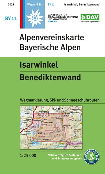
- Isarwinkel - Benediktenwand Alpenverein BY11
- Isarwinkel - Benediktenwand, map No. BY 11, in a series of highly detailed, GPS compatible hiking maps at 1:25,000 of the German Alps, published by the Deutscher Alpenverein, the German Alpine Club, with cartography of the German topographic survey from the Bavarian state survey organization. The maps use the survey’s excellent detailed... Lire la suite

- Also available from:
- De Zwerver, Netherlands

Stanfords
United Kingdom
United Kingdom
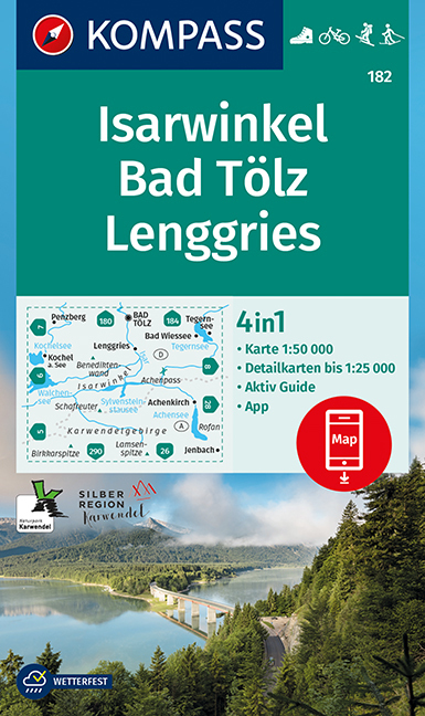
- Isarwinkel - Bad Tölz - Lenggries Kompass 182
- Isarwinkel - Bad Tölz - Lenggries area of the Bavarian Alps on a detailed, GPS compatible map at 1:50,000 from Kompass with local and long-distance footpaths, cycling routes, accommodation, etc, printed on durable, waterproof and tear-resistant synthetic paper.KOMPASS HIKING & RECREATIONAL MAPS: this title is part of an extensive series... Lire la suite
- Also available from:
- De Zwerver, Netherlands
De Zwerver
Netherlands
Netherlands
- Wandelkaart 182 Isarwinkel - Bad Tölz - Lenggries | Kompass
- Isarwinkel - Bad Tölz - Lenggries area of the Bavarian Alps on a detailed, GPS compatible map at 1:50,000 from Kompass with local and long-distance footpaths, cycling routes, accommodation, etc, printed on durable, waterproof and tear-resistant synthetic paper.KOMPASS HIKING & RECREATIONAL MAPS: this title is part of an extensive series... Lire la suite
De Zwerver
Netherlands
Netherlands
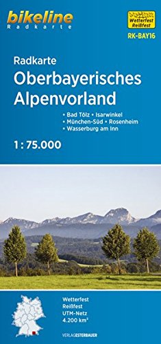
- Fietskaart BAY16 Bikeline Radkarte Oberbayerisches Alpenvorland | Esterbauer
- Bikeline Radkarte Oberbayerisches Alpenvorland 1 : 75 000 ab 7.9 EURO Bad Tölz - Isarwinkel - München-Süd - Rosenheim - Wasserburg am Inn Bikeline Radkarte Bayern. 2. überarbeitete Auflage Lire la suite