
Vlaanderen
Description
Northern part of Belgium, Dutch speaking.
Carte

Sentiers de cette état
- DijlelandGPX
- E2GPX
- E9GPX
- GR12 - Amsterdam - ParisGPX
- GR122 - ScheldelandGPX
- GR126 - Brussel-Namen-Membre sur SamoisGPX
- GR128 - VlaanderenrouteGPX
- GR129 - Dwars door BelgiëGPX
- GR130 - IJzerGPX
- GR131 - Kreken - IeperboogGPX
- GR5GPX
- GR512 - Vlaams BrabantGPX
- GR564 - Kempen - CondrozGPX
- GR579 - Brussels - LiègeGPX
- GR5a - Wandelronde van VlaanderenGPX
- GrenslandpadGPX
- Groene GordelGPX
- HagelandGPX
- HeuvellandGPX
- KempenGPX
- Kempen-BroekGPX
- Mol OmGPX
- Via BrabanticaGPX
- Vlaamse ArdennenGPX
Liens
Données
Rapports
Guides et cartes
Hébergement
Organisations
Voyagistes
GPS
Autre
Livres

Stanfords
United Kingdom
United Kingdom
- Stratford-upon-Avon, Warwick & Banbury OS Landranger Active Map 151 (waterproof)
- The area between Stratford-upon-Avon, Warwick and Banbury, including the northern part of the Cotswold Hills and part of the Cotswold Way / E2 European Long-distance Path, on a waterproof and tear-resistant OS Active version of map No. 151 from the Ordnance Survey’s Landranger series at 1:50,000, with contoured and GPS compatible topographic... Lire la suite

Stanfords
United Kingdom
United Kingdom
- Bournemouth, Purbeck, Wimborne Minster & Ringwood OS Landranger Active Map 195 (waterproof)
- Bournemouth and the Isle of Purbeck area, including part of the New Forest National Park and a section of the South West Coast Path / E9 European Long-distance Path, on a waterproof and tear-resistant OS Active version of map No. 195 from the Ordnance Survey’s Landranger series at 1:50,000, with contoured and GPS compatible topographic mapping... Lire la suite

Stanfords
United Kingdom
United Kingdom
- Cambridge, Newmarket & Saffron Walden OS Landranger Active Map 154 (waterproof)
- Parts of Cambridgeshire, Suffolk and Essex with Cambridge, Newmarket and Saffron Walden, including part of the E2 European Long-distance path, on a waterproof and tear-resistant OS Active version of map No. 154 from the Ordnance Survey’s Landranger series at 1:50,000, with contoured and GPS compatible topographic mapping plus tourist... Lire la suite

Stanfords
United Kingdom
United Kingdom
- The Solent, Isle of Wight, Southampton & Portsmouth OS Landranger Active Map 196 (waterproof)
- Isle of Wight with the Southampton - Portsmouth area, including part of the New Forest National Park and a section of the E9 European Long-distance Path, on a waterproof and tear-resistant OS Active version of map No. 196 from the Ordnance Survey’s Landranger series at 1:50,000, with contoured and GPS compatible topographic mapping plus tourist... Lire la suite

Stanfords
United Kingdom
United Kingdom
- Maidstone, Royal Tunbridge Wells, Sevenoaks & Tonbridge OS Landranger Active Map 188 (waterproof)
- Maidstone, Tunbridge Wells and the High Weald area, including a section of the North Downs Way / E2 European Long-distance Path, on a waterproof and tear-resistant OS Active version of map No. 188 from the Ordnance Survey’s Landranger series at 1:50,000, with contoured and GPS compatible topographic mapping plus tourist information.MOBILE... Lire la suite

Stanfords
United Kingdom
2019
United Kingdom
2019
- La Grande Traversee du Jura GR5/GR9/GTJ
- La Grande Travesée du Jura, FFRP topoguide Ref. no. 512, covering the GTJ along the Jura Mountains in France from Nommay to Culoz, plus several variants off the main route including parts of the GR5 and GR9 – in all 509kms of hiking trails. Current edition of this title was published in March 2017.The GR509 offers hikers a path punctuated by... Lire la suite

Stanfords
United Kingdom
United Kingdom
- Bury St Edmunds, Sudbury & Stowmarket OS Landranger Active Map 155 (waterproof)
- Suffolk around Bury St Edmunds, Sudbury and Stowmarket, including part of the E2 European Long-distance path, on a waterproof and tear-resistant OS Active version of map No. 155 from the Ordnance Survey’s Landranger series at 1:50,000, with contoured and GPS compatible topographic mapping plus tourist information.MOBILE DOWNLOADS: As well as... Lire la suite

Stanfords
United Kingdom
United Kingdom
- Eastbourne, Hastings, Crowborough, Battle & Heathfield OS Landranger Active Map 199 (waterproof)
- Eastbourne and Hastings area, including the Seven Sisters and sections of the South Downs Way and the E9 European Long-distance Path, on a waterproof and tear-resistant OS Active version of map No. 199 from the Ordnance Survey’s Landranger series at 1:50,000, with contoured and GPS compatible topographic mapping plus tourist information.MOBILE... Lire la suite

Stanfords
United Kingdom
United Kingdom
- Cheltenham, Cirencester & Stow-on-the-Wold OS Landranger Active Map 163 (waterproof)
- Cheltenham and Cirencester area, including sections of the Thames Path, the Cotswold Way and the E2 European Long-distance Path, on a waterproof and tear-resistant OS Active version of map No. 163 from the Ordnance Survey’s Landranger series at 1:50,000, with contoured and GPS compatible topographic mapping plus tourist information.MOBILE... Lire la suite

Stanfords
United Kingdom
United Kingdom
- Oxford, Chipping Norton & Bicester OS Landranger Active Map 164 (waterproof)
- Oxford area, including sections of the Thames Path and the E2 European Long-distance Path, on a waterproof and tear-resistant OS Active version of map No. 164 from the Ordnance Survey’s Landranger series at 1:50,000, with contoured and GPS compatible topographic mapping plus tourist information.MOBILE DOWNLOADS: As well as the physical edition... Lire la suite
Stanfords
United Kingdom
2020
United Kingdom
2020
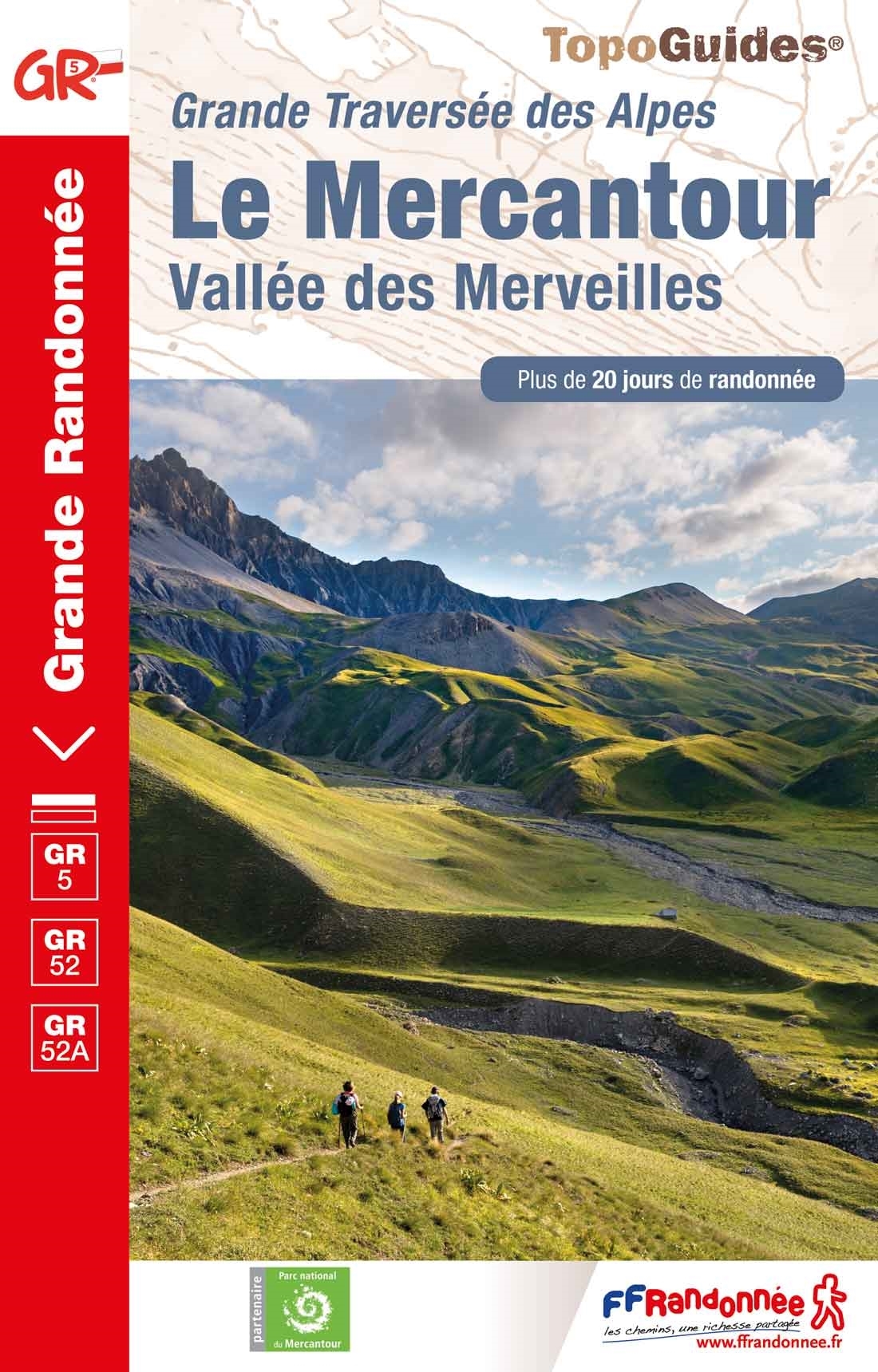
- Le Mercantour - Vallee des Merveilles GR5/GR52/52A
- Le Mercantour: Larche – Nice/Menton, Vallée des Merveilles, FFRP topoguide Ref. No. 507, covering 450km of long-distance routes: the last section of the GR5 in the French Alps from Larche to Nice, an alternative variant off GR5 along the GR52 leading via the Vallée des Merveilles to Menton, plus GR52A – Panoramique du Mecantour from Col du... Lire la suite

Stanfords
United Kingdom
2019
United Kingdom
2019
- Du Léman à la Vanoise - par le Mont Blanc et le Beaufortain GR5
- The first, 206-km long Alpine section of the GR5 from Lake Geneva, past Mont Blanc and across the Col de la Croix-du-Bonhomme, to Landry north of the Vanoise Massif, FFRP topo-guide ref. no. 504, with colour maps from the IGN TOP25 series at 1:25,000. Also included is a tour of the Dents du Midi. Current edition of this title was published in... Lire la suite
Stanfords
United Kingdom
2020
United Kingdom
2020
- La Traversee der Alpes La Vanoise - PN de la Vanoise GR5/GR55
- 15 days in altitude from the Tarentaise to Modane, heart of the Maurienne. Description also of Via Alpina.La Vanoise (including Parc National de la Vanoise), FFRP topoguide Ref. no. 530, covering the second section of the GR5 in the French Alps between Landry and Modane, its lower variant on the GR5E along the river Arc, plus the traverse of... Lire la suite

Stanfords
United Kingdom
United Kingdom
- Ipswich, The Naze & Clacton-on-Sea OS Landranger Active Map 169 (waterproof)
- Ipswich with Harwich and The Naze area, including part of the E2 European Long-distance Path, on a waterproof and tear-resistant OS Active version of map No. 169 from the Ordnance Survey’s Landranger series at 1:50,000, with contoured and GPS compatible topographic mapping plus tourist information.MOBILE DOWNLOADS: As well as the physical... Lire la suite

Stanfords
United Kingdom
United Kingdom
- North York Moors Western OS Explorer Active Map OL26 (waterproof)
- The western part of the North York Moors National Park on a detailed topographic and GPS compatible map OL26, waterproof version, from the Ordnance Survey’s 1:25,000 Explorer series. Coverage extends from Ampleforth in the south northwards to Saltburn-by-the-Sea, and from Ingleby Arncliffe to Danby, Castleton and Hutton-le-Hole, and includes... Lire la suite
Cartes

Stanfords
United Kingdom
2021
United Kingdom
2021
- Belgium NGI Long-Distance Trails Map
- Belgium: Long-distance Footpaths Map at 1:300,000 from Nationaal Geografisch Instituut/Institut Géographique National, the country’s national survey organization, showing the network of the waymarked long-distance GR routes.The map uses as its base a road map of the country, with an overprint highlighting the network of Belgium’s long-distance... Lire la suite
Stanfords
United Kingdom
United Kingdom
- Zwalm - Zottegem
- Topographical survey of Belgium at 1:20,000 from Nationaal Geografisch Instituut / Institut Géographique National, the country’s national survey organization. Each 20K map covers one quarter of the corresponding 1:50,000 map (with adjustments in the border and coastal areas). The maps provide all the information expected of topographic mapping... Lire la suite

Stanfords
United Kingdom
United Kingdom
- Leuven NGI Topographic Map 32
- Topographical survey of Belgium at 1:50,000 from the country’s national survey organization, Nationaal Geografisch Instituut / Institut Géographique National. Contour interval varies according to the terrain, from 2.5 metres in the coastal areas to 10 metres in the Ardennes. The maps provide all the information expected of topographic mapping... Lire la suite

Stanfords
United Kingdom
United Kingdom
- Zeelandic Flanders - Meetjesland and Waasland Falkplan Cycling Map 31
- The Dutch province of Zeeland south of the Scheldt Estuary and the northern part of the East Flanders province of Belgium at 1:50,000 in a series from Falk B.V. showing the network of signposted cycling routes on large, double-sided indexed maps with prominent highlighting of long-distance LF routes, symbols indicating accommodation and other... Lire la suite

Stanfords
United Kingdom
United Kingdom
- Herzele - Ninove
- Topographical survey of Belgium at 1:20,000 from Nationaal Geografisch Instituut / Institut Géographique National, the country’s national survey organization. Each 20K map covers one quarter of the corresponding 1:50,000 map (with adjustments in the border and coastal areas). The maps provide all the information expected of topographic mapping... Lire la suite

Stanfords
United Kingdom
United Kingdom
- Lier NGI Topo 16
- Topographical survey of Belgium at 1:50,000 from the country’s national survey organization, Nationaal Geografisch Instituut / Institut Géographique National. Contour interval varies according to the terrain, from 2.5 metres in the coastal areas to 10 metres in the Ardennes. The maps provide all the information expected of topographic mapping... Lire la suite

Stanfords
United Kingdom
United Kingdom
- Tongres NGI Topographic Map 34
- Topographical survey of Belgium at 1:50,000 from the country’s national survey organization, Nationaal Geografisch Instituut / Institut Géographique National. Contour interval varies according to the terrain, from 2.5 metres in the coastal areas to 10 metres in the Ardennes. The maps provide all the information expected of topographic mapping... Lire la suite

Stanfords
United Kingdom
United Kingdom
- Flobecq - Brakel
- Topographical survey of Belgium at 1:20,000 from Nationaal Geografisch Instituut / Institut Géographique National, the country’s national survey organization. Each 20K map covers one quarter of the corresponding 1:50,000 map (with adjustments in the border and coastal areas). The maps provide all the information expected of topographic mapping... Lire la suite

Stanfords
United Kingdom
United Kingdom
- Mol NGI Topo 17
- Topographical survey of Belgium at 1:50,000 from the country’s national survey organization, Nationaal Geografisch Instituut / Institut Géographique National. Contour interval varies according to the terrain, from 2.5 metres in the coastal areas to 10 metres in the Ardennes. The maps provide all the information expected of topographic mapping... Lire la suite

Stanfords
United Kingdom
United Kingdom
- Nivelles NGI Topo 39 - Battle of Waterloo Area
- Nivelles, map No. 39 in the topographic survey of Belgium at 1:50, covering both the main area of the Battle of Waterloo on 18th June 1815 including the Mont St-Jean escarpment, the Lion’s Mound (Lion’s Hillock) and the museum, and the Les Quatre Bras crossroads - the site of French victory on 16th June.Although not specifically designed to... Lire la suite

Stanfords
United Kingdom
United Kingdom
- Autour du Thabor: Modane - Bardonecchia - Briançon
- Mont Thabor area at 1:50,000 on a contoured and GPS compatible map from Editions Didier Richard in their series of walking maps of French Alps and other popular hiking regions of south-eastern France. Coverage extends from Modane in the north to Briançon in the south-east, and west to Valloire.The base map with cartography from the IGN has... Lire la suite

Stanfords
United Kingdom
United Kingdom
- Nice - Menton - PN du Mercantour IGN TOP100 165
- Discover the new double-sided laminated edition of TOP100 road maps of France from the Institut Géographique National (IGN); exceptionally detailed, contoured road maps which include the cycle paths and greenways of the AF3V (French Association for the Development of Cycle Paths and Greenways), ideal for exploring the French countryside by car,... Lire la suite

Stanfords
United Kingdom
United Kingdom
- Flemish Brabant Falkplan Cycling Map 36
- Brussels region and the eastern part of the Flemish Brabant province of Belgium at 1:50,000 in a series from Falk B.V. showing the network of signposted cycling routes on large, double-sided indexed maps with prominent highlighting of long-distance LF routes, symbols indicating accommodation and other tourist services, plus in each title two or... Lire la suite
Stanfords
United Kingdom
United Kingdom
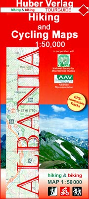
- Vermoshi - Tamare - Razma - Thethi Huber Hiking & Biking Map
- Vermoshi - Tamare - Razma - Thethi area of northern Albania at 1:50,000 in a series of GPS compatible contoured maps from Huber Verlag showing hiking and cycling routes, climbing sites, tourist accommodation, etc. Descriptions cover 16 hiking trails and six cycling routes between 14km and 152km long. Route profiles are provided for most of the... Lire la suite
Stanfords
United Kingdom
United Kingdom
- Geraardsbergen - Galmaarden
- Topographical survey of Belgium at 1:20,000 from Nationaal Geografisch Instituut / Institut Géographique National, the country’s national survey organization. Each 20K map covers one quarter of the corresponding 1:50,000 map (with adjustments in the border and coastal areas). The maps provide all the information expected of topographic mapping... Lire la suite