
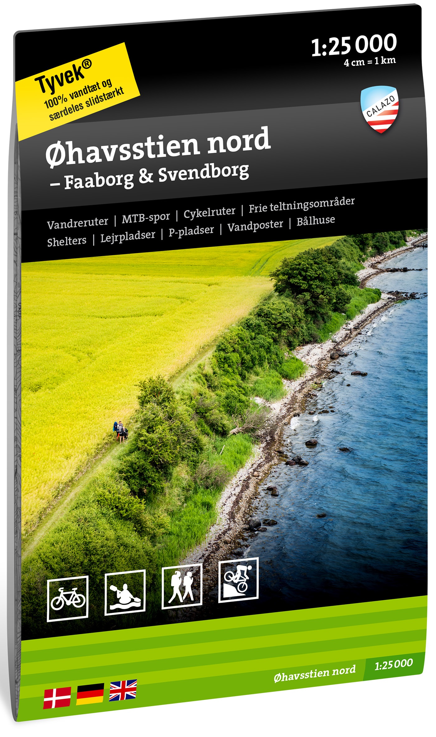
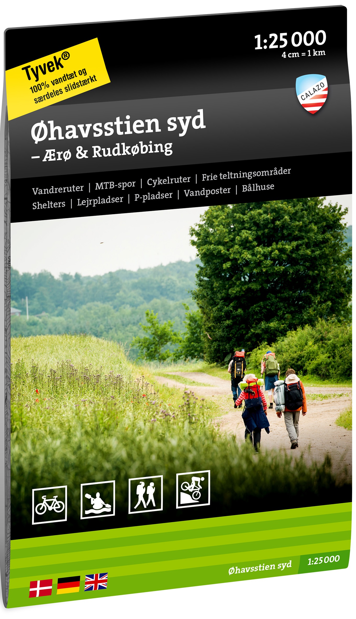
Øhavsstien
Description
- Name Øhavsstien
- Distance de sentier 220 km, 137 milles
- Durée en jours 10 jours
- Début de sentier Faldsled
- Fin de sentier Søby
- Classement Traildino EW, Marche facile, sentier de la nature

South Funen Archipelago Trail, 220 km, circumvent the South Funen Archipelago.
For lovers of sea and emptiness Øhavsstien can be recommended. The path is called South Funen Archipelago Trail, or Øhavsstien. Over a length of 220 km one visits several larger and smaller islands. The sea is never far away. Beautiful forests and rolling fields of wheat offer a change. Long stretches of the trail follow the coastline. Occasionally, you will walk through authentic villages with cute little houses. You won't get bored.
Denmark is an undiscovered country for hiking.
This beautiful trail has been completed in 2007. Maps with all details are freely available through various tourist offices, in Danish, English, German. You can also download them from the Internet. Along the route there are occasional boxes of these maps! The route is well marked. You may stay overnight en route in hotels, camping cabins, youth hostels, or of course in your tent.
Carte


Liens
Données
Rapports
Guides et cartes
Hébergement
Organisations
Voyagistes
GPS
Autre
Cartes
Netherlands
2021
Netherlands
2021