
GR52A - Panoramique du Mercantour
Description
- Name GR52A - Panoramique du Mercantour (GR52A)
- Distance de sentier 230 km, 143 milles
- Durée en jours 15 jours
- Début de sentier Valle Vermenagna (I)
- Fin de sentier Colmars-les-Alpes (F)
- Classement Traildino SW, Marche fatigante, sentier de montagne
- Classement Traversée de montagne T2, randonnée en montagne


52A
 Valle Vermenagna (Italy) - Colmars-les-Alpes, 230 km, two weeks
The popular GR52A trail traverses the National Parc Mercantour. This Alpine parc can be found in the southeastern corner of France, on the border with Italy. The trail offers both splendid mountain scenery, culture and important archeological remains.
Select some tracks
☐Le Sentier panoramique du Mercantour, 214km
Carte

Liens
Données
Rapports
Guides et cartes
Hébergement
Organisations
Voyagistes
GPS
Autre
Livres
Stanfords
United Kingdom
2020
United Kingdom
2020
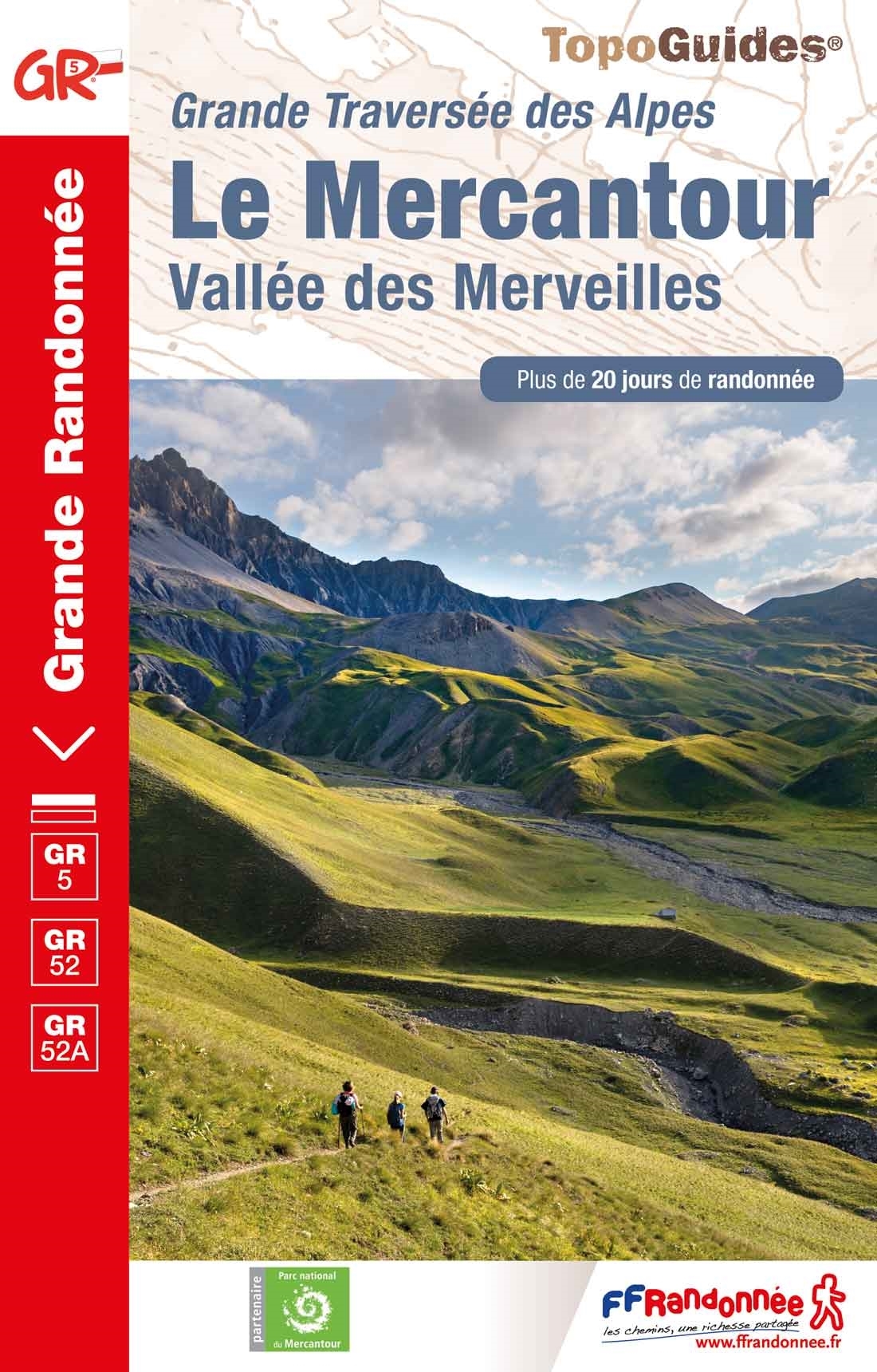
- Le Mercantour - Vallee des Merveilles GR5/GR52/52A
- Le Mercantour: Larche – Nice/Menton, Vallée des Merveilles, FFRP topoguide Ref. No. 507, covering 450km of long-distance routes: the last section of the GR5 in the French Alps from Larche to Nice, an alternative variant off GR5 along the GR52 leading via the Vallée des Merveilles to Menton, plus GR52A – Panoramique du Mecantour from Col du... Lire la suite
Plus de livres …
