
Sentier Cathare
Description
- Name Sentier Cathare (SC)
- Distance de sentier 221 km, 137 milles
- Durée en jours 11 jours
- Début de sentier Port-la-Nouvelle
- Fin de sentier Foix
- Classement Traildino MW, Marche modérée, sentier de randonnée
- Classement Traversée de montagne T1, Randonnée


SC

From De Port-la-Nouvelle (Mediterranean), to Montségur (Ariège), 14 days
The Cathars were a Christian Religious sect in the middle and late Medieval period. Their popularity in modern times is reflected in the fact that a long distance path is called after them, the Sentier Cathare. This trail is on the northern flanks of the Pyrenees, visiting the historic places figuring in the myths and history of this culture.
Select some tracks
Carte

Liens
Données
Rapports
Guides et cartes
Hébergement
Organisations
Voyagistes
GPS
Autre
Livres

The Book Depository
United Kingdom
United Kingdom

The Book Depository
United Kingdom
2022
United Kingdom
2022
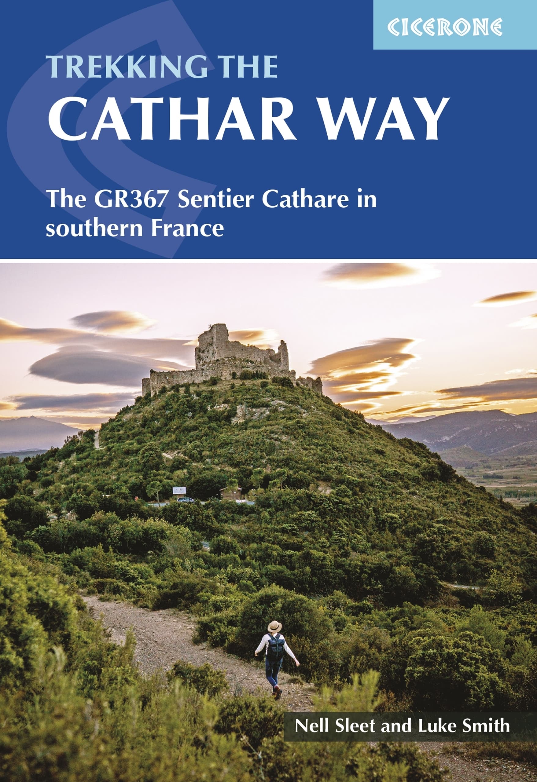
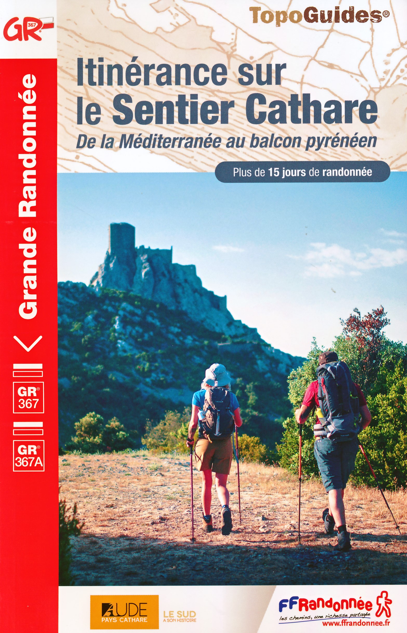
- Trekking the Cathar Way
- The GR367 Sentier Cathare in southern France Lire la suite
- Also available from:
- De Zwerver, Netherlands
De Zwerver
Netherlands
2022
Netherlands
2022
- Wandelgids The Cathar Way | Cicerone
- The GR367 Sentier Cathare in southern France Lire la suite
Bol.com
Netherlands
2012
Netherlands
2012
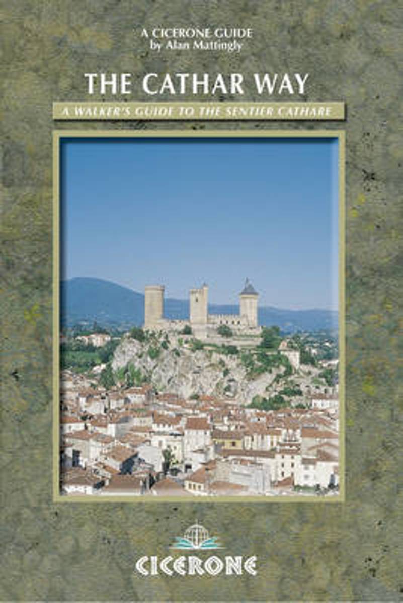
- The Cathar Way
- A guidebook to walking the Cathar Way, a waymarked trail through France's southwest, linking historic castles. This 250km (two-week) route runs through the foothills of the Pyrenees in the Languedoc region of southern France, from the Mediterranean to Foix. A challenging, fascinating and rewarding route, but not an arduous mountain trek. The... Lire la suite
- Also available from:
- Bol.com, Belgium
Bol.com
Belgium
2012
Belgium
2012
- The Cathar Way
- A guidebook to walking the Cathar Way, a waymarked trail through France's southwest, linking historic castles. This 250km (two-week) route runs through the foothills of the Pyrenees in the Languedoc region of southern France, from the Mediterranean to Foix. A challenging, fascinating and rewarding route, but not an arduous mountain trek. The... Lire la suite

Stanfords
United Kingdom
2014
United Kingdom
2014
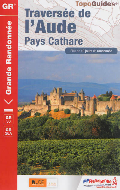
- GR36/36A: Traversée de l`Aude - Pays Cathare FFRP Topo-guide No. 360
- Traversée de l`Aude - Pays Cathare, FFRP topoguide Ref. No.360, covering the 150km long GR360 across the department of Aude in south-western France from the Montaigne Noire via Carcassonne to St-Paul-de-Fenouillet in the Pyrenees. Several variants from the southern half of the route offer possibilities for shorter local tours. Current edition... Lire la suite
- Also available from:
- De Zwerver, Netherlands
De Zwerver
Netherlands
2014
Netherlands
2014
- Wandelgids 360 Traversée de l'Aude - Pays Cathare GR36 - GR36A | FFRP
- Guide FFRandonnée Traversée de l'Aude - Pays Cathare - 360 - GR36 , 36A150 km de sentiers au cœur de l'Occitanie, à la rencontre des richesses naturelles et patrimoniales de l'Aude, Pays Cathare.Cheminant de la Normandie à l'Espagne, le GR® 36 traverse l'Aude de part en part, du nord au sud. Frais ombrages du Canal du Midi, Cité médiévale de... Lire la suite
Bol.com
Netherlands
2014
Netherlands
2014
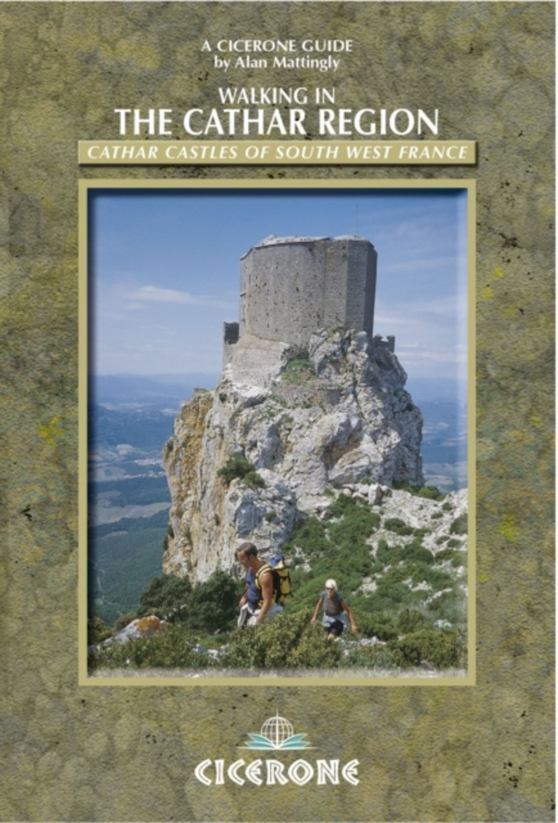
- Walks In The Cathar Region
- The guide offers 30 walks based on the once strategically important castles that dominate the foothills of the Pyrenees. Each walk has as its focal point a castle or other location associated with Cathar history (mostly the 13th century). Summaries of the historical connections of each location with the Cathar period are given, and together... Lire la suite
- Also available from:
- Bol.com, Belgium
Bol.com
Belgium
2014
Belgium
2014
- Walks In The Cathar Region
- The guide offers 30 walks based on the once strategically important castles that dominate the foothills of the Pyrenees. Each walk has as its focal point a castle or other location associated with Cathar history (mostly the 13th century). Summaries of the historical connections of each location with the Cathar period are given, and together... Lire la suite
De Zwerver
Netherlands
2022
Netherlands
2022
Cartes

Stanfords
United Kingdom
United Kingdom
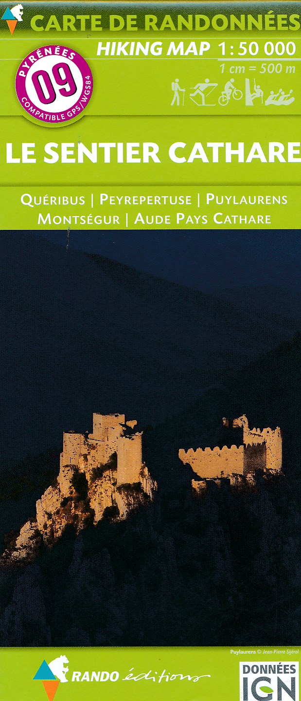
- Le Sentier Cathare - Queribus - Peyrepertuse Rando Editions 9
- The Cathare region in the foothills of the French Pyrenees, between Foix and the Mediterranean coast, on a contoured and GPS compatible map at 1:50,000 from Rando Editions with topographic base provided by the IGN, highlighting the Sentier Cathare and other long-distance or local hiking and equestrian trails, etc. The area is presented on two... Lire la suite
- Also available from:
- De Zwerver, Netherlands
De Zwerver
Netherlands
Netherlands
- Wandelkaart 09 Le Sentier Cathare | Rando Editions
- Topografische wandelkaart van de prachtige Katharenroute door de Franse Pyreneeën. Met hoogtelijnen, hutten, toeristische infomatie en met ingetekende wandelpaden waaronder de Katharenroute tussen Foix en Port-la-Nouvelle aan de kust, diverse Grande Randonnee wandelroutes zoals GR-36, GR-7A, GR-7B en vele korte regionale wandelroutes om in een... Lire la suite