
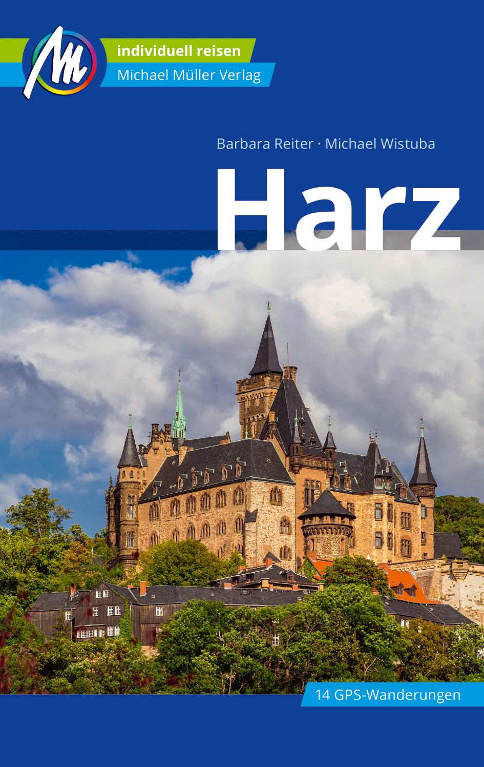
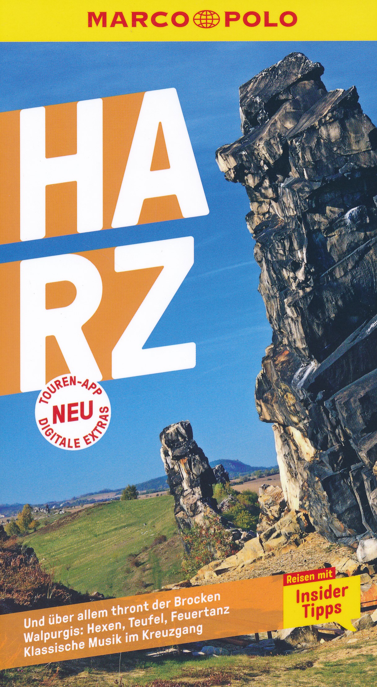
Harz
Description
Mountainous region in central Germany: Niedersachsen, Sachsen-Anhalt and Thüringen.
Sentiers de cette région
Liens
Données
Rapports
Guides et cartes
Hébergement
Organisations
Voyagistes
GPS
Autre
Livres

Stanfords
United Kingdom
United Kingdom
- 1001 Walks: You must experience before you die
- 1001 Walks You Must Experience Before You Die is the perfect guide to the world`s most exhilarating walks. The ever-increasing passion for recreational walking is given fresh impetus with the creation of each new national park and wilderness area, the construction of every new walkway and the clearing of another fresh trail. The growth in... Lire la suite
- Also available from:
- The Book Depository, United Kingdom

De Zwerver
Netherlands
2022
Netherlands
2022
Bol.com
Netherlands
Netherlands
- Miniatur Wunderland
- MINIATUR WUNDERLANDThe World's Largest Model Railway ExhibitThis picture book is printed in full color with more than beautiful 700 photos (photo size: 6.3'' x 3.5''). In Germany, they call it Miniatur Wunderland. This miniature wonderland is a model railway attraction in Hamburg, Germany, and the largest of its kind in the world. In March 2016... Lire la suite
- Also available from:
- Bol.com, Belgium
Bol.com
Belgium
Belgium
- Miniatur Wunderland
- MINIATUR WUNDERLANDThe World's Largest Model Railway ExhibitThis picture book is printed in full color with more than beautiful 700 photos (photo size: 6.3'' x 3.5''). In Germany, they call it Miniatur Wunderland. This miniature wonderland is a model railway attraction in Hamburg, Germany, and the largest of its kind in the world. In March 2016... Lire la suite
Bol.com
Netherlands
2013
Netherlands
2013
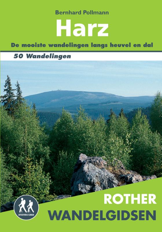
- Rother Wandelgidsen - Harz
- Wandelen in de Harz in Duitsland. 50 prachtige wandelingen in het Nationalpark en het natuurpark Harz en in het natuurpark Kyffhäuser - tussen Goslar, Quedlinburg en Göttingen.De Rother Wandelgids Harz bevat 50 wandelingen voor beginnende en ervaren wandelaars door berg en dal, en zijn voorzien van betrouwbare routebeschrijvingen,... Lire la suite
- Also available from:
- Bol.com, Belgium
- De Zwerver, Netherlands
Bol.com
Belgium
2013
Belgium
2013
- Rother Wandelgidsen - Harz
- Wandelen in de Harz in Duitsland. 50 prachtige wandelingen in het Nationalpark en het natuurpark Harz en in het natuurpark Kyffhäuser - tussen Goslar, Quedlinburg en Göttingen.De Rother Wandelgids Harz bevat 50 wandelingen voor beginnende en ervaren wandelaars door berg en dal, en zijn voorzien van betrouwbare routebeschrijvingen,... Lire la suite
De Zwerver
Netherlands
2013
Netherlands
2013
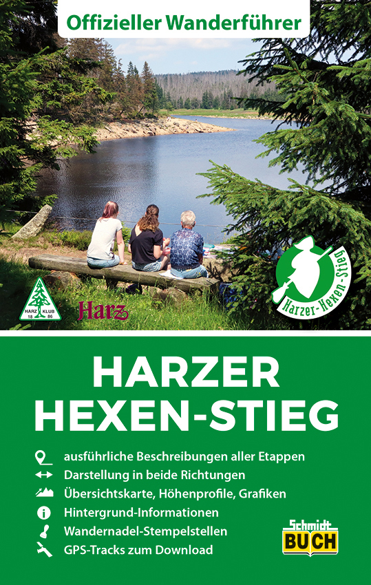
- Wandelgids Harz | Uitgeverij Elmar
- Wandelen in de Harz in Duitsland. 50 prachtige wandelingen in het Nationalpark en het natuurpark Harz en in het natuurpark Kyffhäuser - tussen Goslar, Quedlinburg en Göttingen. De Rother Wandelgids Harz bevat 50 wandelingen voor beginnende en ervaren wandelaars door berg en dal, en zijn voorzien van betrouwbare routebeschrijvingen,... Lire la suite
De Zwerver
Netherlands
Netherlands
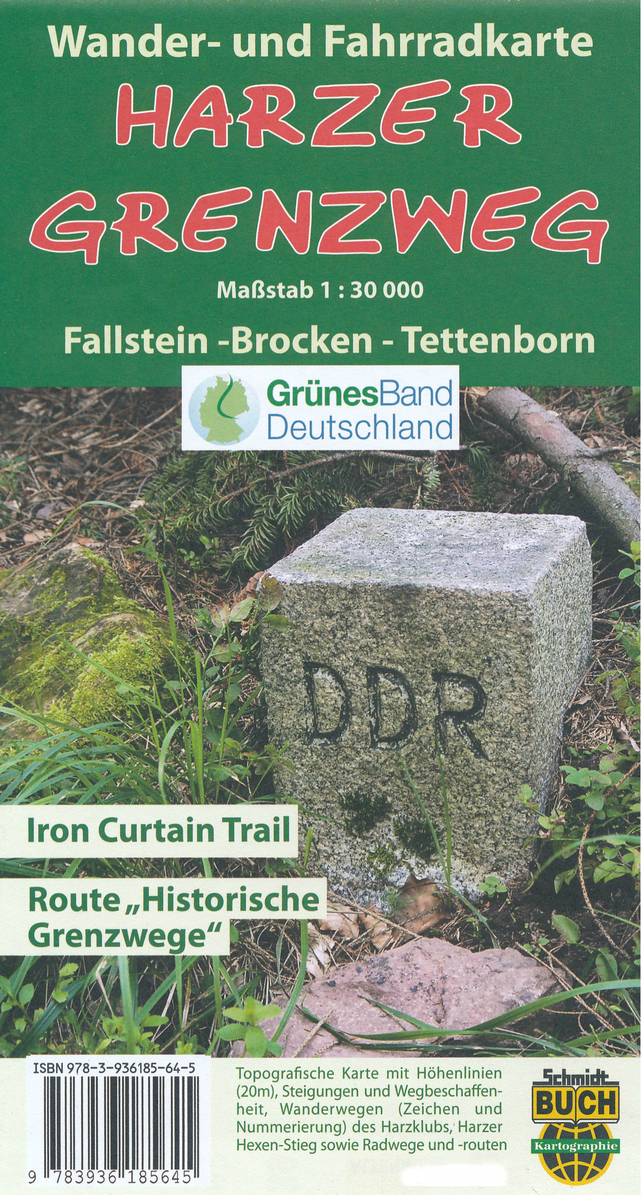
- Wandelkaart - Fietskaart Harzer Grenzweg | Schmidt Buch Verlag
- Fallstein -Brocken - Tettenborn Naturerlebnisroute Route Historische Grenzwege. Wander- und Fahrradkarte. 2., aktualisierte Aufage. Lire la suite

Bol.com
Netherlands
2020
Netherlands
2020
- WF5240 Harz Kompass
- De Kompass wandelgids + kaart geeft een overzicht van alle wandelroutes in het gebied met nauwkeurige routeaanwijzingen en hoogteaanduidingen, De extra grote kaart, schaal 1:35 000, is ideaal om van te voren uw route uit te stippelen en om onderweg te gebruiken • naast de bekende bestemmingen, worden ook de minder bekende vermeld • openbaar... Lire la suite
- Also available from:
- Bol.com, Belgium
Bol.com
Belgium
2020
Belgium
2020
- WF5240 Harz Kompass
- De Kompass wandelgids + kaart geeft een overzicht van alle wandelroutes in het gebied met nauwkeurige routeaanwijzingen en hoogteaanduidingen, De extra grote kaart, schaal 1:35 000, is ideaal om van te voren uw route uit te stippelen en om onderweg te gebruiken • naast de bekende bestemmingen, worden ook de minder bekende vermeld • openbaar... Lire la suite
Plus de livres …
Cartes

Stanfords
United Kingdom
United Kingdom
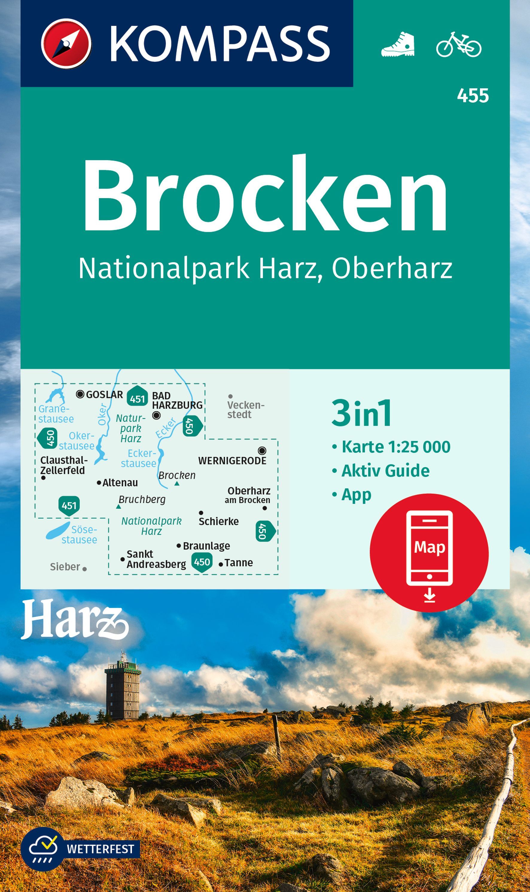
- Brocken - Harz NP - Oberharz Kompass 455
- Harz NP Around the Peak of Brocken: Goslar - Wernigerode - Braunlage (No. 455), a detailed, GPS compatible map at 1:25,000 from Kompass with local and long-distance footpaths, cycling routes, accommodation, etc, printed on durable, waterproof and tear-resistant synthetic paper.KOMPASS HIKING & RECREATIONAL MAPS:This title is part of an... Lire la suite

Stanfords
United Kingdom
United Kingdom
- Weser - Harz - Heide Cycle Route: Hann. Münden - Lüneburg (416km) Bikeline Map/Guide
- A 416-km cycle route from Hann. Münden to Lüneburg across the Harz Mountains presented by the Verlag Esterbauer in guide with maps at 1:75,000 showing the route and its variants. Extensive information is conveyed by symbols, indicating road surface, campsites and other accommodation, repair workshops, recreational facilities, places of... Lire la suite

Stanfords
United Kingdom
United Kingdom
- Harz Cycling Map
- Harz on a waterproof, tear-resistant, GPS compatible cycling map at 1:75,000 from the ADFC (Allgemeiner Deutscher Fahrrad-Club - the official German cycling federation), in a series of maps with extensive overprint for long-distance and local cycling routes. GPS waypoints, route profiles, details of online links for information about... Lire la suite

Stanfords
United Kingdom
United Kingdom
- Europe Cycle Route R1 - Arnhem via Berlin to Oder Bikeline Map-Guide
- A 1030-km long cycle route from Arnhem in the Netherlands across the Harz Mountains to Berlin and on to the Oder presented by Verlag Esterbauer in a guide with maps at 1:75,000 showing the route and its variants. Extensive information is conveyed by symbols, indicating road surface, campsites and other accommodation, repair workshops,... Lire la suite

Stanfords
United Kingdom
United Kingdom
- Brocken - Oberharz - Harzquerbahn - NP Harz K+F Outdoor Map 17
- Brocken - Oberharz area of the Harz Mountains at 1:35,000 from Kümmerly+Frey in a series GPS compatible, double-sided maps printed on durable, waterproof and tear-resistant plastic paper; contoured, with hiking and cycle routes, other recreational activities, etc. Coverage includes Goslar and Wernigerode.Maps in this series are at a scale of... Lire la suite
Bol.com
Netherlands
Netherlands
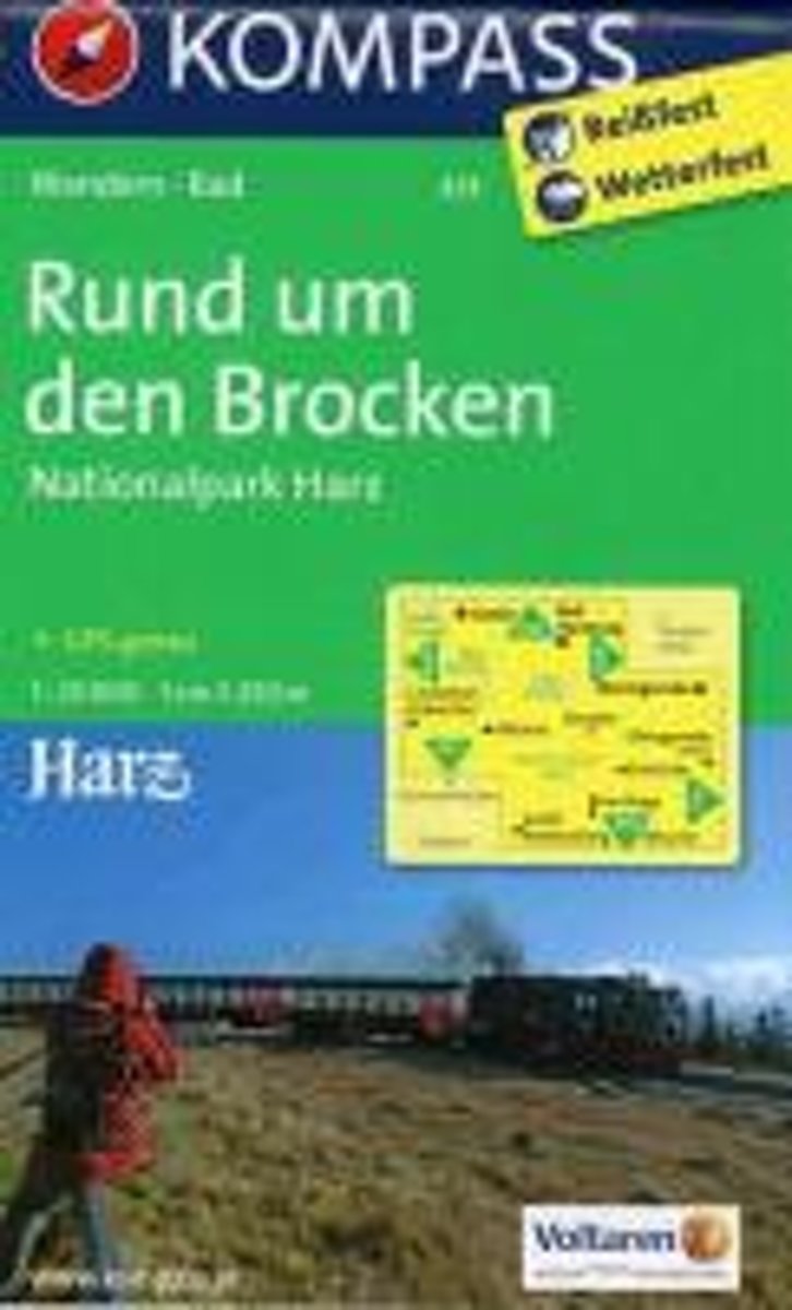
- Rund um den Brocke, Nationalpark Harz WK455
- . Der größte Waldnationalpark Deutschlands birgt auf einer Fläche von 24700 ha in den Bundesländern Niedersachsen und Sachsen-Anhalt unzählige Naturwunder: Moore und Bergbäche, seltsam geformte Granitklippen und als Höhepunkt den 1141 m Brocken, den höchsten Gipfel im Norden Deutschlands.. Diese neue, zweiseitige KOMPASS-Karte ist der ideale... Lire la suite
- Also available from:
- Bol.com, Belgium
Bol.com
Belgium
Belgium
- Rund um den Brocke, Nationalpark Harz WK455
- . Der größte Waldnationalpark Deutschlands birgt auf einer Fläche von 24700 ha in den Bundesländern Niedersachsen und Sachsen-Anhalt unzählige Naturwunder: Moore und Bergbäche, seltsam geformte Granitklippen und als Höhepunkt den 1141 m Brocken, den höchsten Gipfel im Norden Deutschlands.. Diese neue, zweiseitige KOMPASS-Karte ist der ideale... Lire la suite
De Zwerver
Netherlands
2020
Netherlands
2020
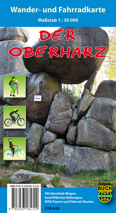
- Wandelkaart Der Oberharz - Harz | Schmidt Buch Verlag
- Gebiet: Von Goslar im Norden bis St. Andreasberg im Süden und von Osterode im Westen bis Braunlage im Osten Kartografie-Ausstattung: • Maßstab 1 : 30 000, Höhenlinien in 20-Meter-Schritten und UTM-Gitter für GPS • Harzklub-Wanderwege in offizieller Markierung und Nummerierung und thematische Harz-Fernwanderwege Harzer Hexen-Stieg und Harzer... Lire la suite
De Zwerver
Netherlands
2013
Netherlands
2013
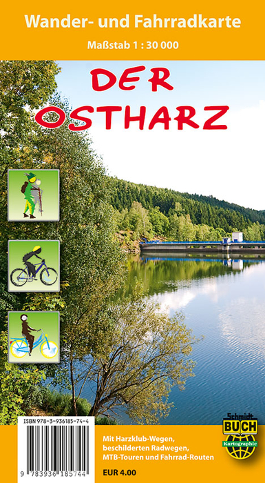
- Wandelkaart Der Ostharz | Schmidt Buch Verlag
- Gebiet: Von Thale im Norden bis Sangerhausen im Süden und von Stolberg im Westen bis Wippra im Osten Kartografie-Ausstattung: • Maßstab 1 : 30 000, Höhenlinien in 20-Meter-Schritten und UTM-Gitter für GPS • Harzklub-Wanderwege in offizieller Markierung und Nummerierung und thematische Harz-Fernwanderwege Selketal-Stieg und Karstwanderweg •... Lire la suite
De Zwerver
Netherlands
2021
Netherlands
2021

Stanfords
United Kingdom
United Kingdom
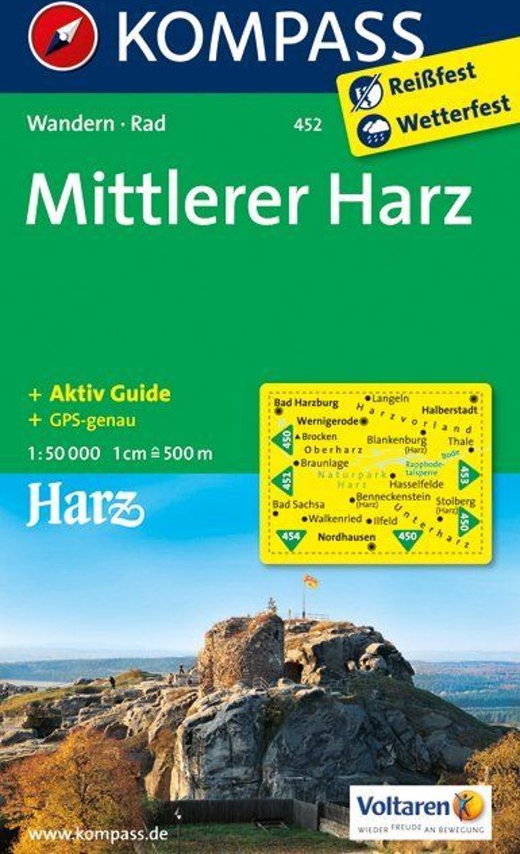
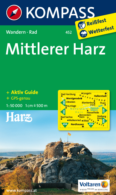
- Harz Central Kompass 452
- Harz Central (No.452), a detailed, GPS compatible map at 1:50,000 from Kompass with local and long-distance footpaths, cycling routes, accommodation, etc, printed on durable, waterproof and tear-resistant synthetic paper.KOMPASS HIKING & RECREATIONAL MAPS:This title is part of an extensive series covering Austria, much of Germany and the... Lire la suite
- Also available from:
- Bol.com, Netherlands
- Bol.com, Belgium
- De Zwerver, Netherlands
Bol.com
Netherlands
Netherlands
- Harz, Mittlerer WK452
- Deze Kompass wandelkaart, schaal 1:50 000, is ideaal om uw route uit te stippelen en om onderweg te gebruiken • naast de bekende bestemmingen, worden ook de minder bekende vermeld • openbaar vervoer bij begin- of eindpunt van een route aangegeven • eenvoudige wandelingen tot pittige (berg)tochten, voor getrainde en ongetrainde wandelaars • met... Lire la suite
Bol.com
Belgium
Belgium
- Harz, Mittlerer WK452
- Deze Kompass wandelkaart, schaal 1:50 000, is ideaal om uw route uit te stippelen en om onderweg te gebruiken • naast de bekende bestemmingen, worden ook de minder bekende vermeld • openbaar vervoer bij begin- of eindpunt van een route aangegeven • eenvoudige wandelingen tot pittige (berg)tochten, voor getrainde en ongetrainde wandelaars • met... Lire la suite
De Zwerver
Netherlands
Netherlands
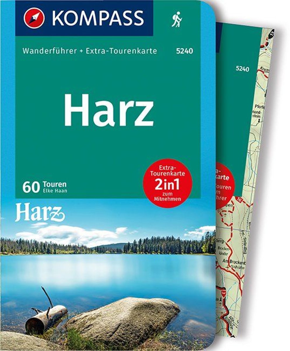
- Wandelkaart 452 Mittlerer Harz | Kompass
- Harz Central (No.452), a detailed, GPS compatible map at 1:50,000 from Kompass with local and long-distance footpaths, cycling routes, accommodation, etc, printed on durable, waterproof and tear-resistant synthetic paper.KOMPASS HIKING & RECREATIONAL MAPS:This title is part of an extensive series covering Austria, much of Germany and the... Lire la suite

Stanfords
United Kingdom
United Kingdom
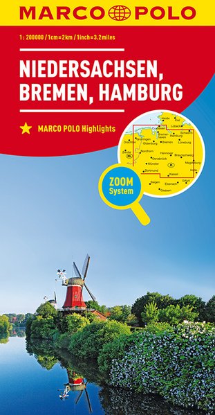
- Lower Saxony - Bremen - Hamburg Marco Polo Regional Map 3
- German state of Lower Saxony (Niedersachsen) with Hamburg and Bremen on a double-sided, indexed road map at 1:200,000 in the MairDumont’s Marco Polo series, prominently highlighting interesting locations and protected areas. The map divides the region east/west with a generous overlap between the sides. A 143-page index booklet includes city... Lire la suite
- Also available from:
- De Zwerver, Netherlands
De Zwerver
Netherlands
Netherlands
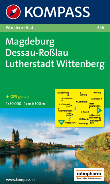
- Wandelkaart 456 Magdeburg - Dessau - Lutherstadt Wittenberg | Kompass
- Goede wandelkaart met vrijwel alle topografische details en ingetekende routes. Ook met symbolen voor toeristische bezienswaardigheden, register. Berghutten duidelijk weergegeven. Gevaarlijke wandelroutes zijn goed herkenbaar. GPS toepasbaar. KOMPASS-Wanderkarten enthalten alles Wissenswerte für Wanderer wie aktuelle Wanderwege mit... Lire la suite