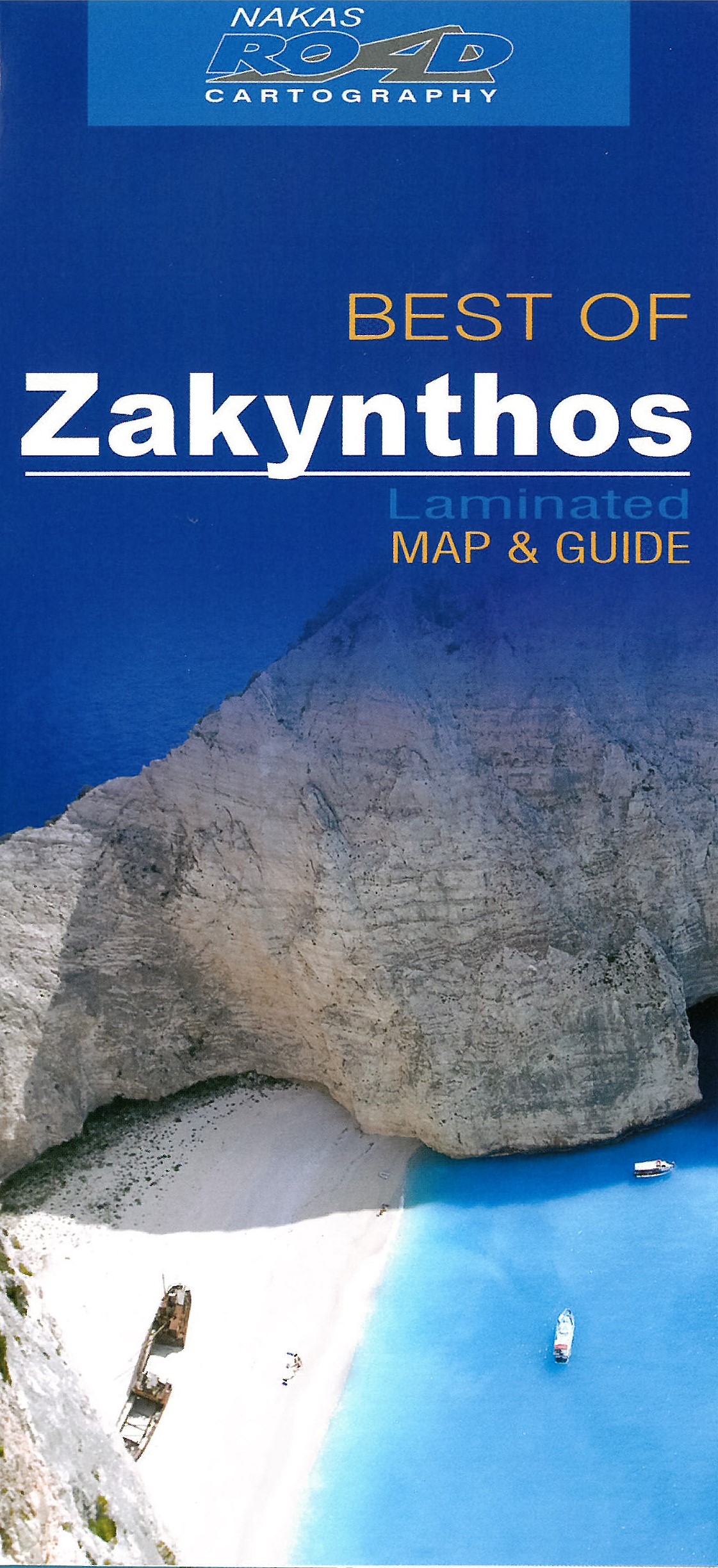
Zakynthos
Description
Zakynthos (or Zante) is one of the Ionian Islands to the West of Greece.
Liens
Données
Rapports
Guides et cartes
Hébergement
Organisations
Voyagistes
GPS
Autre
Livres

Stanfords
United Kingdom
2015
United Kingdom
2015
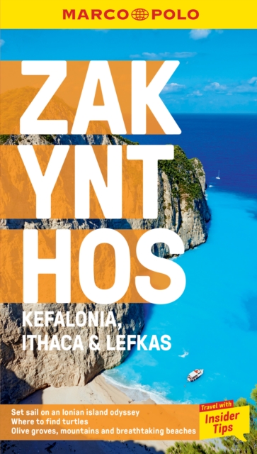
- Zakynthos
- Zakynthos in the Sunflower Complete Guide series is a general guide to the island, but with special emphasis on the island s countryside and the National Marine Park. It covers getting there and getting about, recommended accommodation and restaurants (with price guides), practicalities A-Z, history, customs and traditions, religious festivals,... Lire la suite

- Also available from:
- De Zwerver, Netherlands
De Zwerver
Netherlands
2020
Netherlands
2020

Stanfords
United Kingdom
2021
United Kingdom
2021
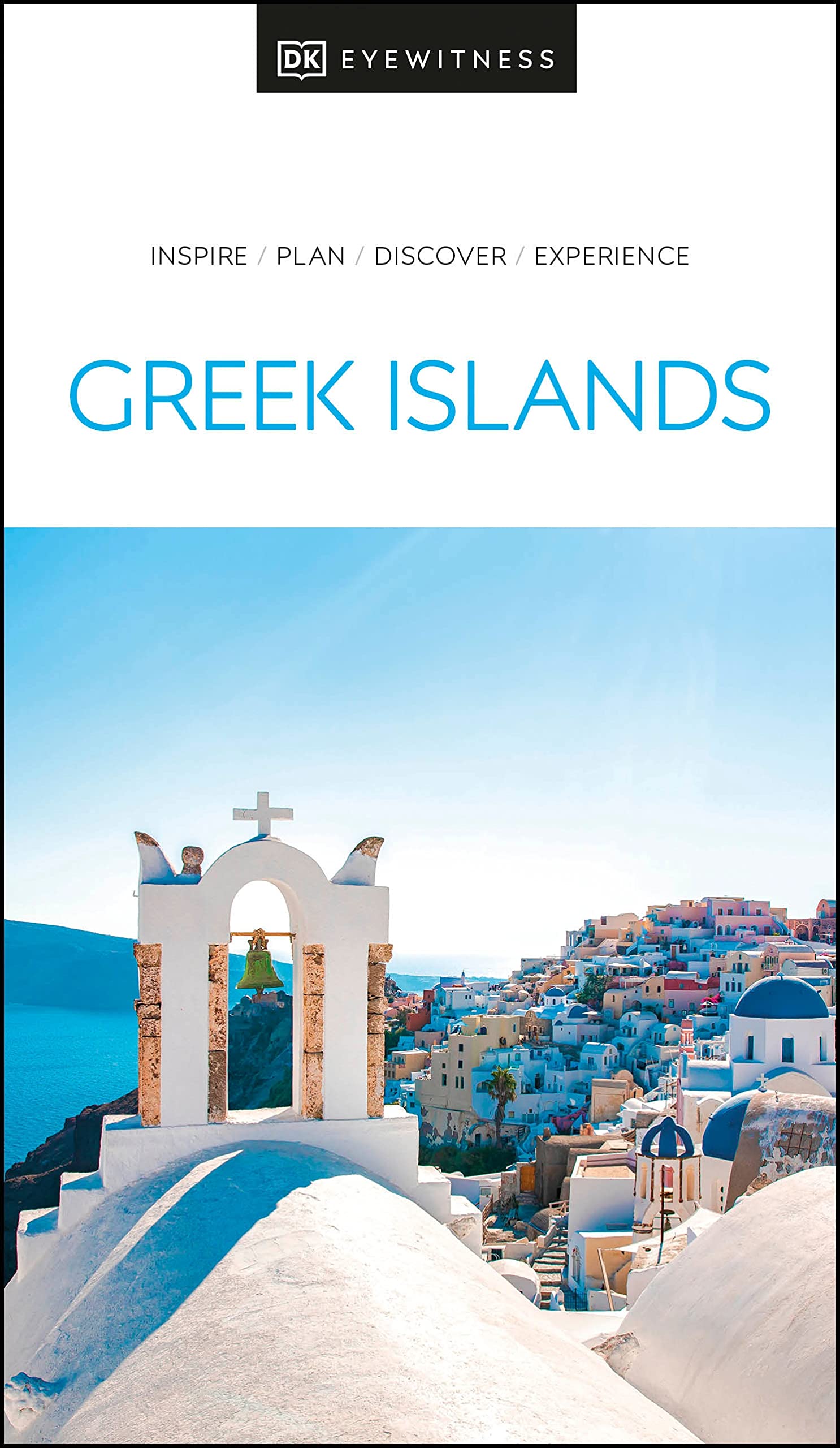
- DK Eyewitness Greek Islands
- Explore hundreds of irresistible islands.Whether you want to follow in the footsteps of legendary heroes at the Minoan palace, swim in the turquoise waters of idyllic Zakynthos bay, or watch the sun set over Corfu from Kaiser`s throne, your DK Eyewitness travel guide makes sure you experience all that the Greek Islands have to offer.The perfect... Lire la suite
- Also available from:
- De Zwerver, Netherlands
De Zwerver
Netherlands
2021
Netherlands
2021
- Reisgids Eyewitness Travel The Greek Islands - Griekse Eilanden | Dorling Kindersley
- Explore hundreds of irresistible islands.Whether you want to follow in the footsteps of legendary heroes at the Minoan palace, swim in the turquoise waters of idyllic Zakynthos bay, or watch the sun set over Corfu from Kaiser`s throne, your DK Eyewitness travel guide makes sure you experience all that the Greek Islands have to offer.The perfect... Lire la suite
De Zwerver
Netherlands
2015
Netherlands
2015
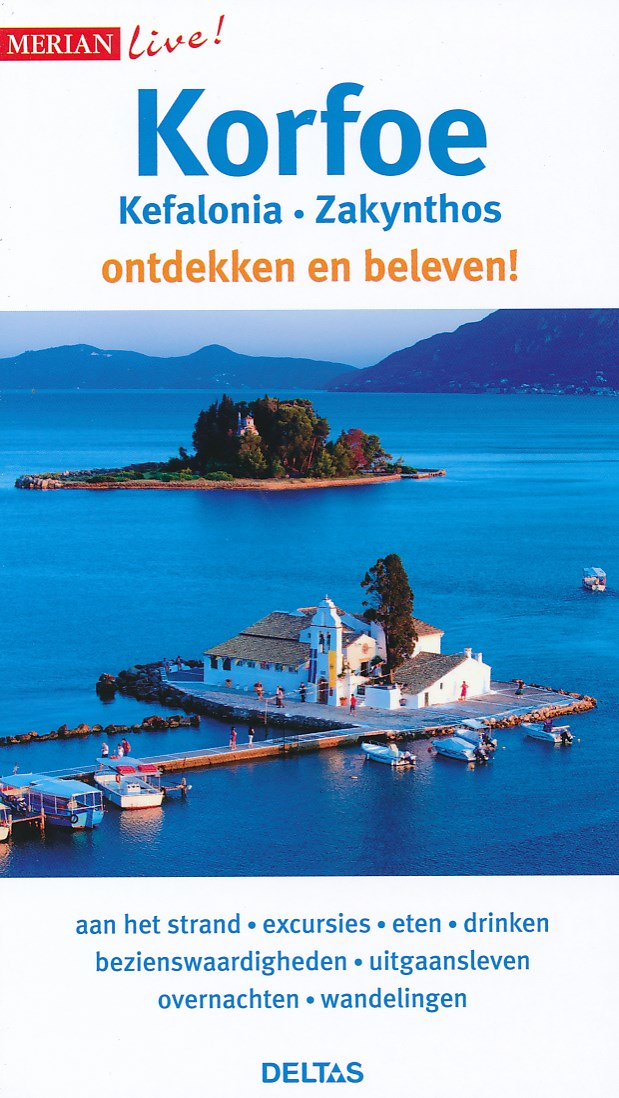
- Reisgids Merian live Korfoe ,Kefalonia en Zakynthos | Deltas
- Handige en overzichtelijke, kleine reisgids voor een eerste kennismaking met het land. Voor- en achterin uitklapbare kaart. Aandacht voor o.a. taal, festivals en eten en drinken. Prettig formaat en toch met veel foto’s. Nederlands Lire la suite
De Zwerver
Netherlands
2024
Netherlands
2024
De Zwerver
Netherlands
2017
Netherlands
2017
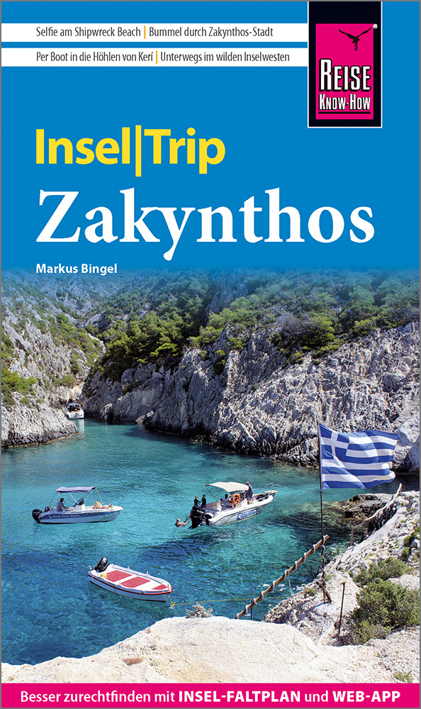
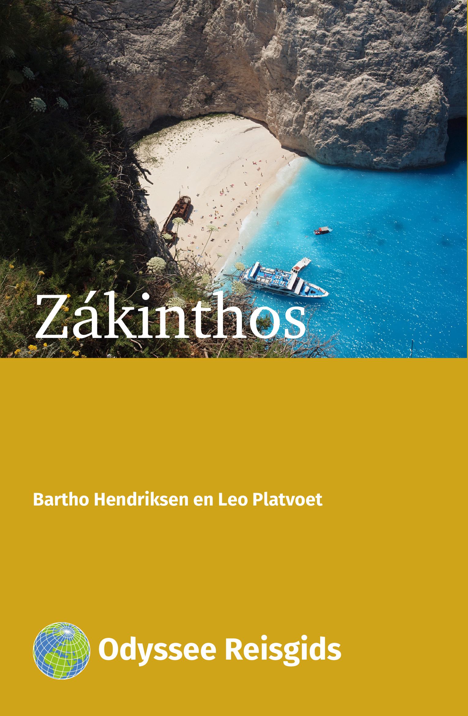
- Reisgids Zákinthos - Zakynthos | Odyssee Reisgidsen
- Kleine reisgids in A5 formaat. Vrij dun, maar wel volgestopt met nuttige informatie. Zákinthos; is qua oppervlakte het derde eiland van de Ionische archipel. Het is het zuidelijkst gelegen Griekse eiland van enige omvang in de Ionische Zee op 31 km afstand voor de noordwestkust van het Griekse vasteland, de Pelopónnesos. Ruwweg gezegd heeft... Lire la suite

De Zwerver
Netherlands
2022
Netherlands
2022
Bol.com
Netherlands
2017
Netherlands
2017
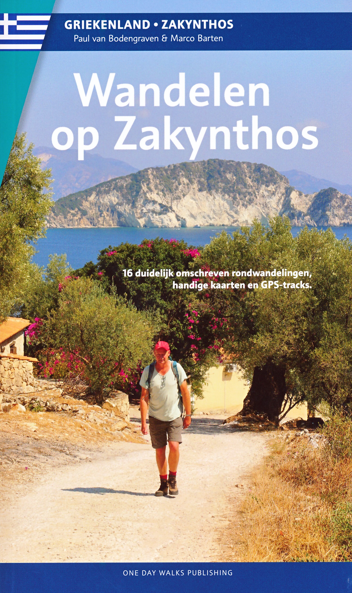
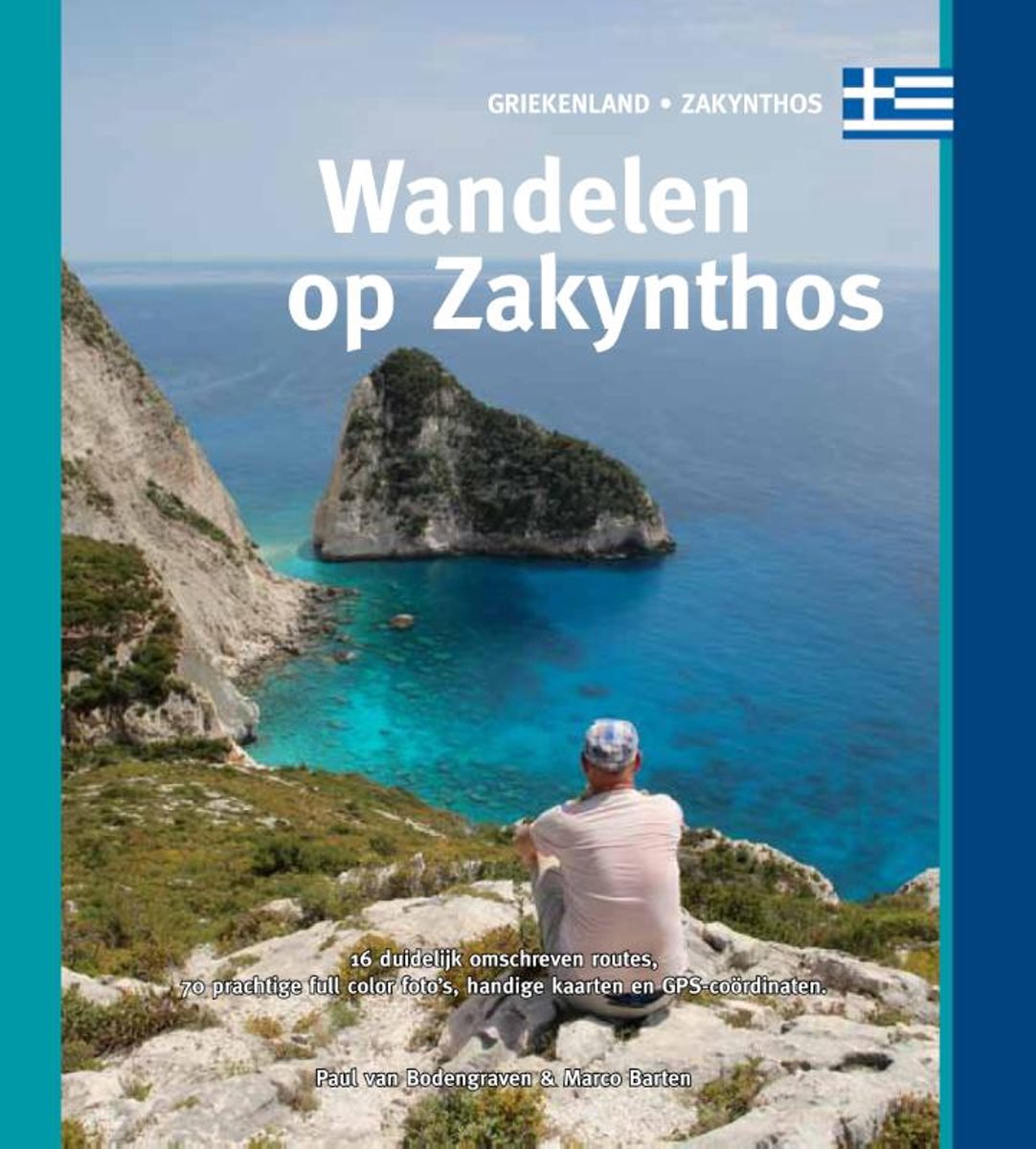
- Wandelen op Zakynthos
- Gids met 16 dagwandelingen op het Griekse eiland Zakynthos, variërend in lengte van 5,5 tot 20,1 km. Inclusief mogelijkheid om de GPS-tracks op te vragen.Over ZakynthosSteile, witte kalksteenkliffen van meer dan honderd meter hoog, die loodrecht afdalen in de golven; hagelwitte strandjes aan een onwaarschijnlijk azuurblauwe zee, waar je alleen... Lire la suite
- Also available from:
- Bol.com, Belgium
Bol.com
Belgium
2017
Belgium
2017
- Wandelen op Zakynthos
- Gids met 16 dagwandelingen op het Griekse eiland Zakynthos, variërend in lengte van 5,5 tot 20,1 km. Inclusief mogelijkheid om de GPS-tracks op te vragen.Over ZakynthosSteile, witte kalksteenkliffen van meer dan honderd meter hoog, die loodrecht afdalen in de golven; hagelwitte strandjes aan een onwaarschijnlijk azuurblauwe zee, waar je alleen... Lire la suite
Plus de livres …
Cartes

Stanfords
United Kingdom
United Kingdom
- Admiralty Chart 2404 - Ports in South-Western Greece
- Plans included in this chart:Ormos Navarinou 1:17,500Nisos Zakynthos, Ormos Zakynthos 1:15,000Limenas Kalamatas 1:10,000Limenas Kyllinis 1:12,500Ormos Aigiou 1:20,000Limenas Katakolou 1:15,000Limenas Patron 1:10,000Ormos Loutrakiou 1:20,000Admiralty standard nautical charts comply with Safety of Life at Sea (SOLAS) regulations and are ideal for... Lire la suite

Stanfords
United Kingdom
United Kingdom
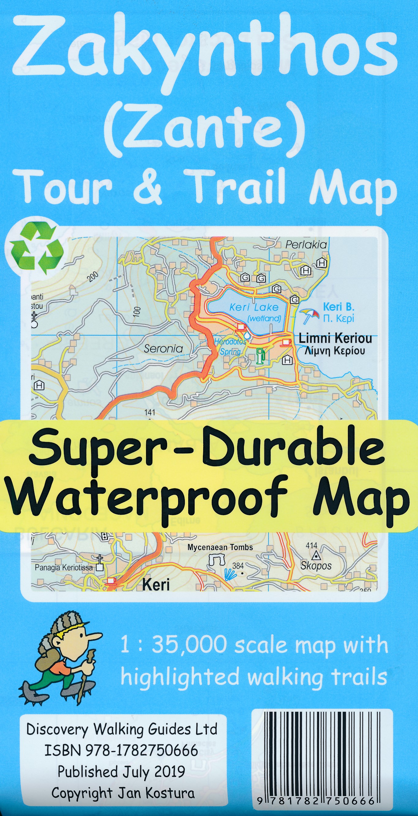
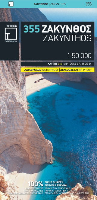
- Zakynthos Terrain Editions 355
- Zakynthos on a light, waterproof and tear-resistant map from Terrain Editions, combining contoured mapping of the island at 1:50,000 with a street plan of Zakynthos Town and extensive bilingual notes about the island.On one side is a map of the whole island with its topography shown by contours at 100m intervals and altitude colouring. Road... Lire la suite
- Also available from:
- De Zwerver, Netherlands
De Zwerver
Netherlands
Netherlands
- Wandelkaart 355 Zakynthos | Terrain maps
- Zakynthos on a light, waterproof and tear-resistant map from Terrain Editions, combining contoured mapping of the island at 1:50,000 with a street plan of Zakynthos Town and extensive bilingual notes about the island.On one side is a map of the whole island with its topography shown by contours at 100m intervals and altitude colouring. Road... Lire la suite
De Zwerver
Netherlands
Netherlands
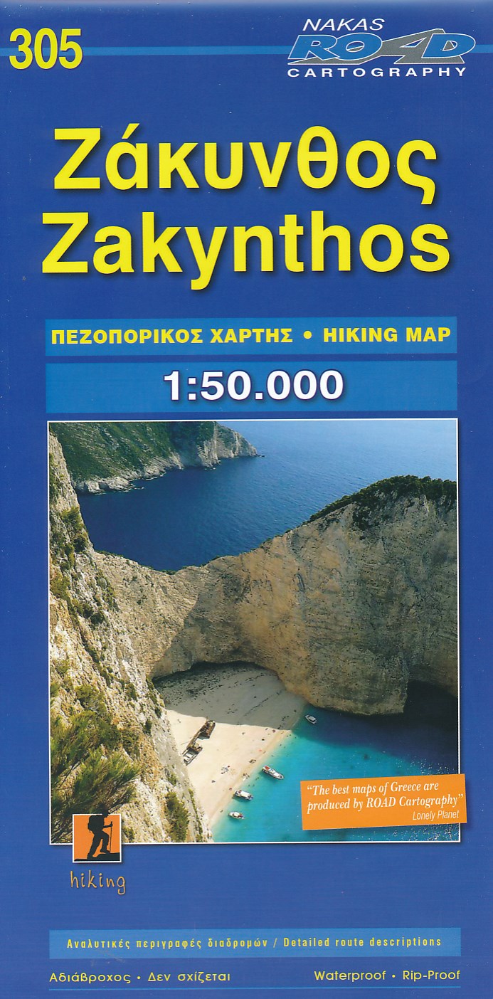
- Wandelkaart 305 Zakynthos | Road Editions
- Gedetailleerde wegenkaart met aanduiding van de wandelwegen, lijst van hotels en toeristische informatie. Voor alle soorten vakanties, ook als wandel- en fietskaart goed te gebruiken. This Road Cartography map, was created upon intensive fieldwork and using G.I.S. ( Geographical Information Systems), ensuring high accuracy. Contains every... Lire la suite

Stanfords
United Kingdom
United Kingdom
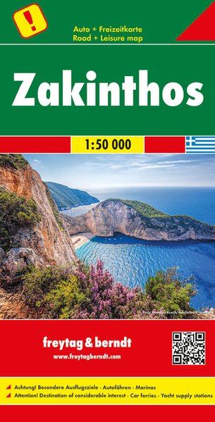
- Zakinthos / Zakynthos F&B
- Zakinthos at 1:50,000 from Freytag and Berndt with all place names shown in both Greek and Latin alphabet. The map is clear and easy to read, with large icons highlighting places of interest and larger size print than found on most similar maps.Relief shading shows the topography. Road network indicates unsurfaced roads. Driving distances are... Lire la suite
- Also available from:
- De Zwerver, Netherlands
De Zwerver
Netherlands
Netherlands
- Wegenkaart - landkaart Zakynthos - Zakinthos | Freytag & Berndt
- Lesbos at 1:50,000 from Freytag and Berndt with all place names shown in both Greek and Latin alphabet. The map is clear and easy to read, with large icons highlighting places of interest and larger size print than found on most similar maps.Relief shading shows the topography. Road network indicates unsurfaced roads. Driving distances are... Lire la suite
De Zwerver
Netherlands
Netherlands
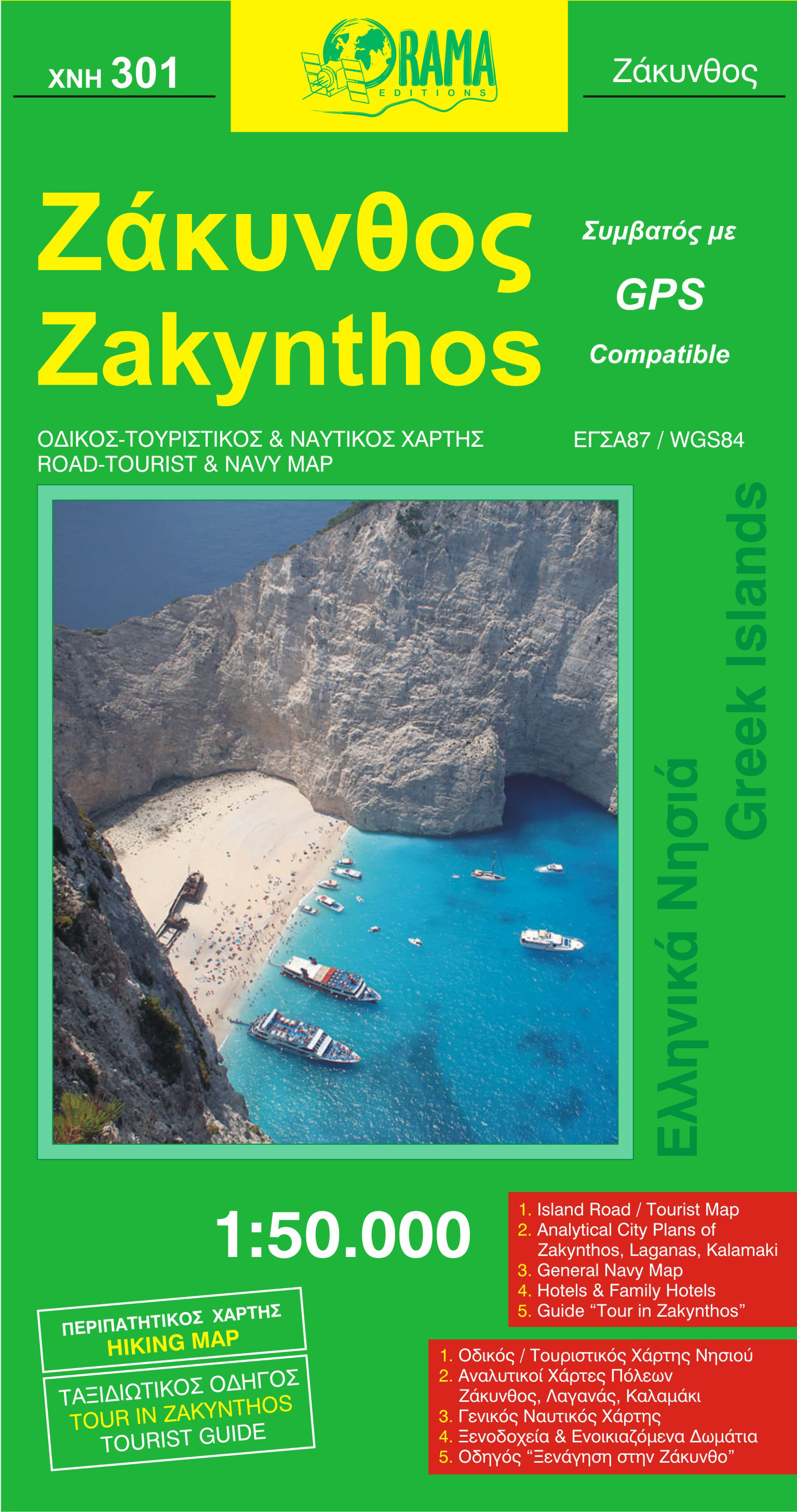
- Wegenkaart - landkaart 301 Zakynthos | Orama
- Zakynthos 1 : 50 000 ab 7.99 EURO Lire la suite
Plus de cartes …