
Liechtenstein
Description

Landlocked by Switzerland and Austria, the alpine mini-principality of Liechtenstein offers grand opportunities for hiking. Bordered by the river Rhine in the west, high alps rise up from the valley towards the east. Highest mountain is the Grauspitz at 2599m.
The country in all measures a mere 160km2 (61.776 sq mi), but there are over 400km of marked hiking trails. Three important long distance hiking trails pass through Liechtenstein: the Via Alpina, the Rätikon trail and the Austrian long distance hiking trail No.2. In addition the many marked day hikes can easily be combined into a multi-day tour.
Check out the Liechtensteiner Landesverwaltung, which has excellent maps online, as well as GPX/GPS downloads. Liechtenstein's two mountain huts, Pfälzerhütte and Gafadurahütte, are owned by the Liechtensteiner Alpenverein (mountaineering club). There are also privately run inns, hotels and at least one camp site.
Sentiers
Régions


Liens
Données
Rapports
Guides et cartes
Hébergement
Organisations
Voyagistes
GPS
Autre
Livres
Netherlands
2021
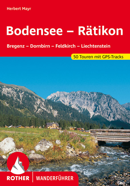
- Wandelgids Bodensee - Rätikon | Rother Bergverlag
- Uitstekende wandelgids met een groot aantal dagtochten in dal en hooggebergte. Met praktische informatie en beperkt kaartmateriaal! Wandelingen in verschillende zwaarte weergegeven in rood/blauw/zwart. Das Tourengebiet dieses Wanderführers reicht vom Bodensee fast bis zum Gletschereis der Schesaplana – es entspricht weitgehend der Vorarlberger... Lire la suite
Netherlands
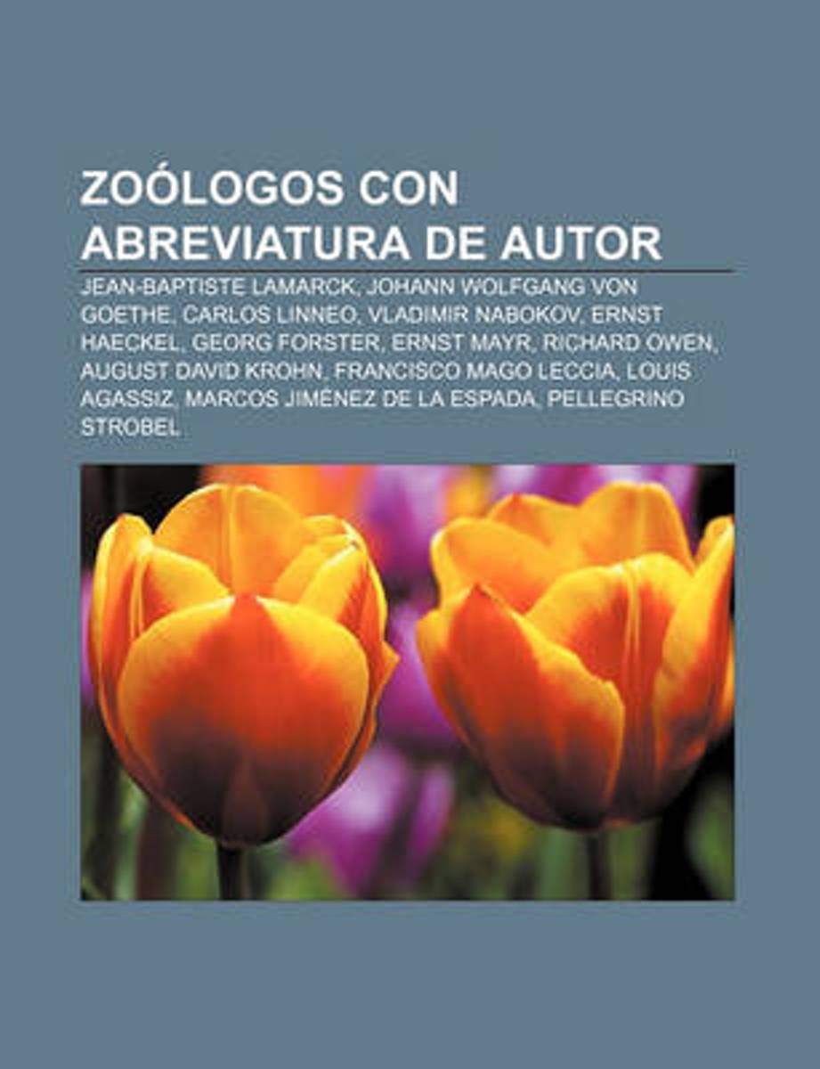
- Zoologos Con Abreviatura de Autor
- Fuente: Wikipedia. Paginas: 209. Capitulos: Jean-Baptiste Lamarck, Johann Wolfgang von Goethe, Carlos Linneo, Vladimir Nabokov, Ernst Haeckel, Georg Forster, Ernst Mayr, Richard Owen, August David Krohn, Francisco Mago Leccia, Louis Agassiz, Marcos Jimenez de la Espada, Pellegrino Strobel, Thomas Henry Huxley, Juan Gundlach, Carlos German... Lire la suite
- Also available from:
- Bol.com, Belgium
Belgium
- Zoologos Con Abreviatura de Autor
- Fuente: Wikipedia. Paginas: 209. Capitulos: Jean-Baptiste Lamarck, Johann Wolfgang von Goethe, Carlos Linneo, Vladimir Nabokov, Ernst Haeckel, Georg Forster, Ernst Mayr, Richard Owen, August David Krohn, Francisco Mago Leccia, Louis Agassiz, Marcos Jimenez de la Espada, Pellegrino Strobel, Thomas Henry Huxley, Juan Gundlach, Carlos German... Lire la suite
Cartes

United Kingdom
- Grosses Walsertal - Feldkirch - Bludenz - Laterns - Liechtenstein F&B WK375
- Grosses Walsertal - Feldkirch - Bludenz - Laterns - Liechtenstein area of the Austrian Alps presented at 1:50,000 in a series of contoured and GPS compatible outdoor leisure map from Freytag & Berndt with hiking and cycling routes, mountain huts, campsites and youth hostels, local bus stops, plus other tourist information. Coverage inclused the... Lire la suite

United Kingdom
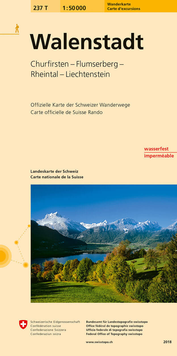
- Walenstadt Swisstopo Hiking 237T
- Walenstadt area, map No. 237T, at 1:50,000 in a special hiking edition of the country’s topographic survey, published by Swisstopo in cooperation with the Swiss Hiking Federation. Coverage includes the south-western part of Liechtenstein.Cartography, identical to the standard version of the survey, is highly regarded for its superb use of... Lire la suite
- Also available from:
- De Zwerver, Netherlands
Netherlands
- Wandelkaart 237T Walenstadt | Swisstopo
- Walenstadt area, map No. 237T, at 1:50,000 in a special hiking edition of the country Lire la suite
Netherlands
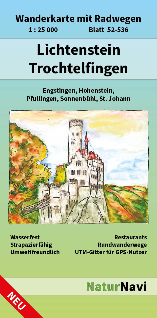
- Wandelkaart 52-536 Lichtenstein - Trochtelfingen | NaturNavi
- Lichtenstein - Trochtelfingen 1 : 25 000, Blatt 52-536 ab 8.9 EURO Wanderkarte mit Radwegen, Engstingen, Hohenstein, Pfullingen, Sonnenbühl, St. Johann NaturNavi Wanderkarte mit Radwegen. 1. Auflage Lire la suite

United Kingdom
- Bregenz Forest F&B WK364
- Bregenz - Bregenzerwald area of the Austrian Alps presented at 1:50,000 in a series of contoured and GPS compatible outdoor leisure map from Freytag & Berndt with hiking and cycling routes, mountain huts, campsites and youth hostels, local bus stops, plus other tourist information. To see the list of currently available titles in this series... Lire la suite
- Also available from:
- The Book Depository, United Kingdom
- Bol.com, Netherlands
- Bol.com, Belgium

United Kingdom
- Bregenz Forest Hiking + Leisure Map 1:50 000
- Bregenz - Bregenzerwald area of the Austrian Alps presented at 1:50,000 in a series of contoured and GPS compatible outdoor leisure map from Freytag & Berndt with hiking and cycling routes, mountain huts, campsites and youth hostels, local bus stops, plus other tourist information. To see the list of currently available titles in this series... Lire la suite

Netherlands
- FB WK364 Bregenzerwald
- Aufgrund der übersichtlichen und detailgetreuen, digitalen Kartographie sowie der ideal gewählten Maßstäbe sind freytag & berndt Wanderkarten der perfekte Begleiter beim Wandern und Bergsteigen. Sie werden regelmäßig überarbeitet und enthalten aktualisierte Informationen zu Wanderwegen, Rad- und Mountainbikestrecken, Hütten, Naturdenkmälern,... Lire la suite
Belgium
- FB WK364 Bregenzerwald
- Aufgrund der übersichtlichen und detailgetreuen, digitalen Kartographie sowie der ideal gewählten Maßstäbe sind freytag & berndt Wanderkarten der perfekte Begleiter beim Wandern und Bergsteigen. Sie werden regelmäßig überarbeitet und enthalten aktualisierte Informationen zu Wanderwegen, Rad- und Mountainbikestrecken, Hütten, Naturdenkmälern,... Lire la suite