
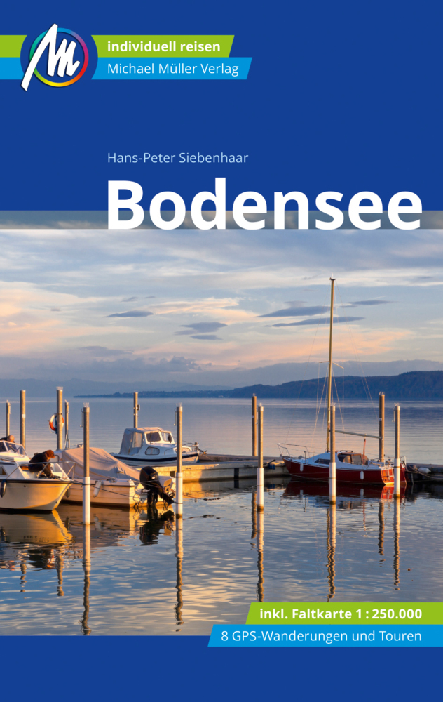
Bodensee
Description
This large lake (actually lakes) constitutes part of the German-Austrian-Swiss border. While in this paradise of freshwater, fruit orchards and vineyards, it is difficult to imagine the forces of mother earth that moulded itself into these vigorous mountains nearby, the Alps. The Bodensee has its own circular path, the Bodensee Rundweg. Many other important trails - E4, E5 - touch the lakes banks.
Sentiers de cette région
Liens
Données
Rapports
Guides et cartes
Hébergement
Organisations
Voyagistes
GPS
Autre
Livres
De Zwerver
Netherlands
2022
Netherlands
2022
De Zwerver
Netherlands
2022
Netherlands
2022
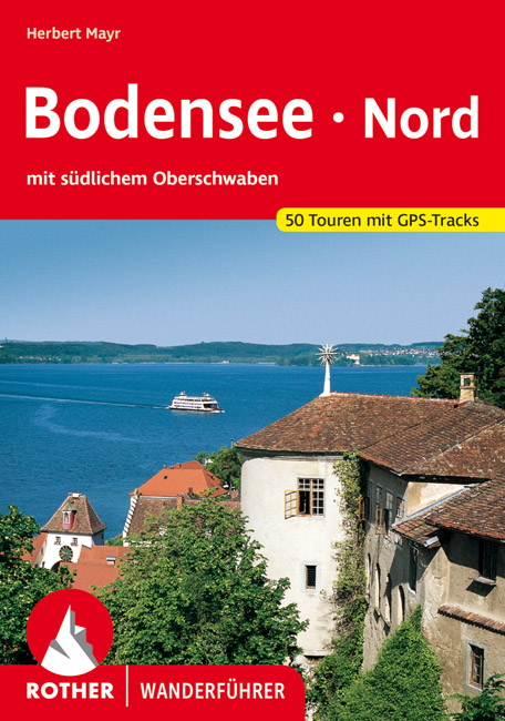
- Wandelgids Bodensee Nord | Rother Bergverlag
- Uitstekende wandelgids met een groot aantal dagtochten in dal en hooggebergte. Met praktische informatie en beperkt kaartmateriaal! Wandelingen in verschillende zwaarte weergegeven in rood/blauw/zwart. Malerische Badebuchten und ergreifende Steiluferlandschaften, aussichtsreiche Rebhänge, blühende Obstgärten und erfrischende Wälder, dazwischen... Lire la suite

Bol.com
Netherlands
2015
Netherlands
2015
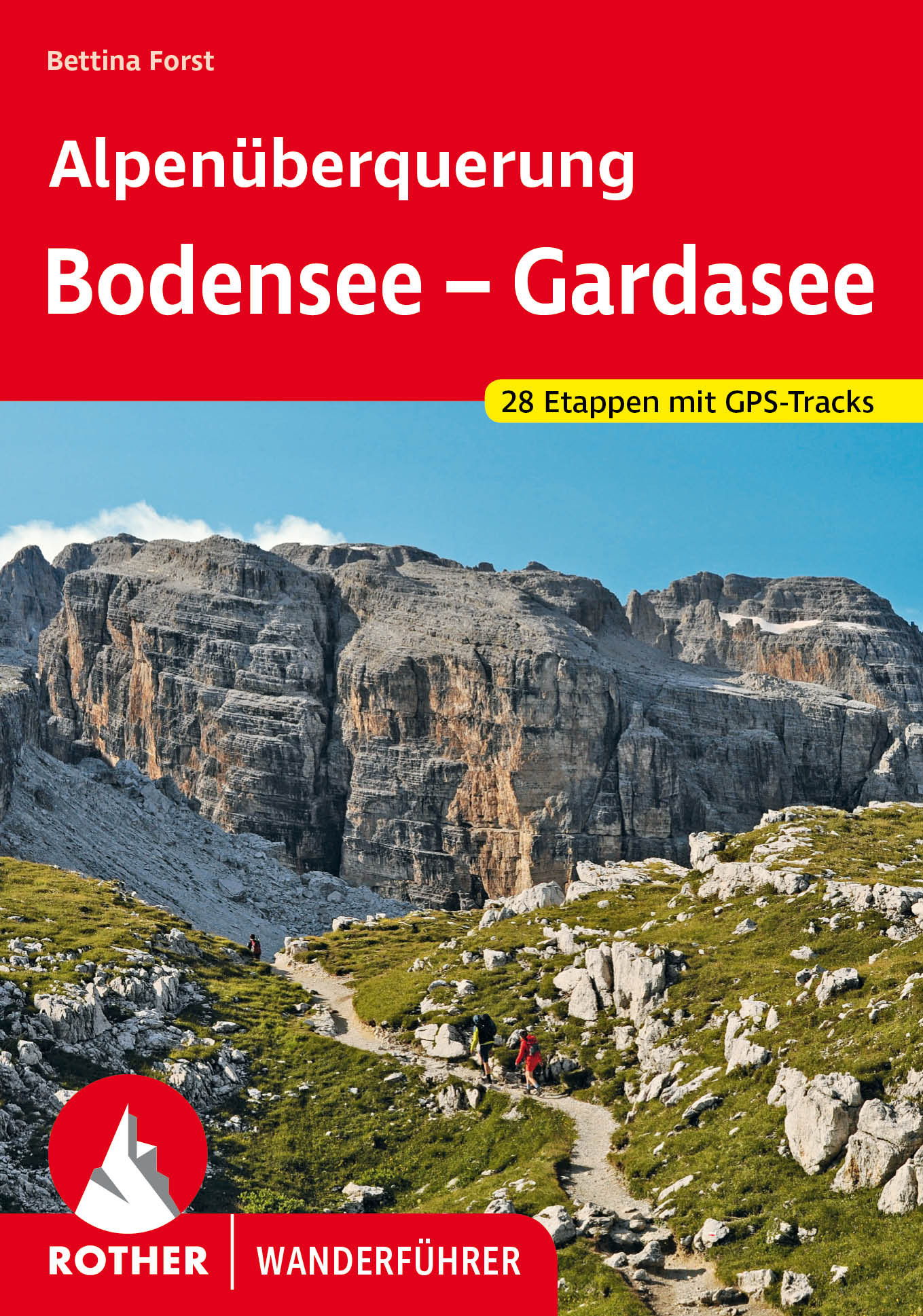
- Fernwanderweg E5
- Der E5 zeigt auf den 600 km vom Bodensee quer ber die Alpen nach Verona viele Gesichter: saftige Wiesen, felsige berg nge, m chtige Gletscher und mediterranes Flair. Lire la suite
- Also available from:
- Bol.com, Belgium
- De Zwerver, Netherlands
Bol.com
Belgium
2015
Belgium
2015
- Fernwanderweg E5
- Der E5 zeigt auf den 600 km vom Bodensee quer ber die Alpen nach Verona viele Gesichter: saftige Wiesen, felsige berg nge, m chtige Gletscher und mediterranes Flair. Lire la suite

De Zwerver
Netherlands
2024
Netherlands
2024
- Wandelgids Fernwanderweg E5 | Rother Bergverlag
- Duitstalige wandelgids met zeer goed beschreven wandelroutes die aan elkaar de Europese LAW E5 vormen. Redelijk kaartmateriaal, vooral de beschrijving van de route en de praktische info die er bij hoort is goed. Der Europäische Fernwanderweg E5 überquert die Alpen in Nord-Süd-Richtung auf etwa 600 km Länge. Überwiegend gut markiert führt er von... Lire la suite
Bol.com
Netherlands
Netherlands
- Erlebnis Stadt
- Im bayerischen Schwaben, der Region zwischen dem Allg u und dem Ries36-mal das Erlebnis Stadt: Romantik,Sehenswertes, Geschichte, gro e NamenDie Fuggerstadt Augsburg, das von R mern gegr ndete Kempten, das mittelalterliche N rdlingen im Geo-park Ries, die Donaustadt G nzburg mit dem Legoland Deutschland oder die Inselstadt Lindau im Bodensee:... Lire la suite
- Also available from:
- Bol.com, Belgium
Bol.com
Belgium
Belgium
- Erlebnis Stadt
- Im bayerischen Schwaben, der Region zwischen dem Allg u und dem Ries36-mal das Erlebnis Stadt: Romantik,Sehenswertes, Geschichte, gro e NamenDie Fuggerstadt Augsburg, das von R mern gegr ndete Kempten, das mittelalterliche N rdlingen im Geo-park Ries, die Donaustadt G nzburg mit dem Legoland Deutschland oder die Inselstadt Lindau im Bodensee:... Lire la suite
De Zwerver
Netherlands
2021
Netherlands
2021
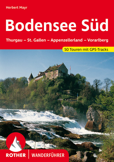
- Wandelgids Bodensee - Süd | Rother Bergverlag
- Goede duitstalige wandelgids. Veel dagtochten, met gradaties en kleuren in zwaarte gerangschikt. Veel praktische informatie. Handzaam formaat. Dem 2007 erschienenen Rother-Wanderführer "Bodensee Nord" stellt Herbert Mayr nun das südliche Pendant zur Seite: Zweifellos zählen das Schweizer und Vorarlberger Bodenseeufer zu den... Lire la suite
Bol.com
Netherlands
2016
Netherlands
2016
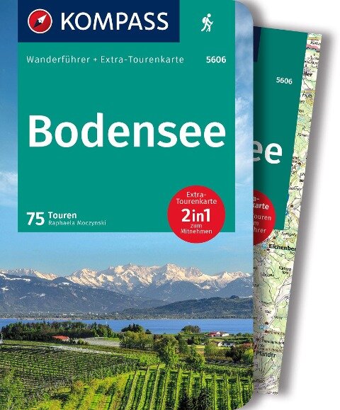
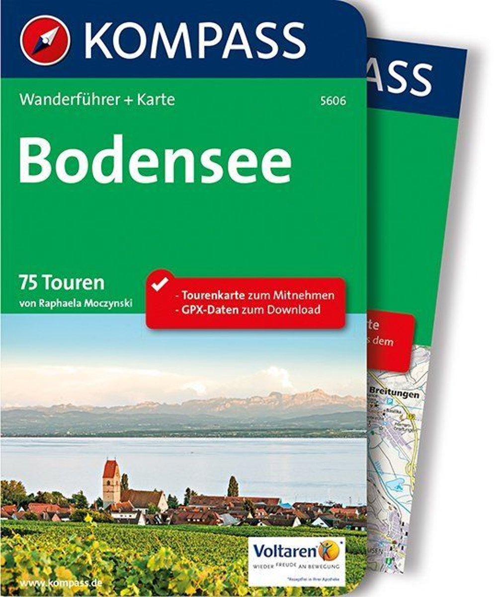
- Kompass WF5606 Bodensee
- De Kompass wandelgids + kaart geeft een overzicht van alle wandelroutes in het gebied met nauwkeurige routeaanwijzingen en hoogteaanduidingen, De extra grote kaart, schaal 1:35 000, is ideaal om van te voren uw route uit te stippelen en om onderweg te gebruiken • naast de bekende bestemmingen, worden ook de minder bekende vermeld • openbaar... Lire la suite
- Also available from:
- Bol.com, Belgium
Bol.com
Belgium
2016
Belgium
2016
- Kompass WF5606 Bodensee
- De Kompass wandelgids + kaart geeft een overzicht van alle wandelroutes in het gebied met nauwkeurige routeaanwijzingen en hoogteaanduidingen, De extra grote kaart, schaal 1:35 000, is ideaal om van te voren uw route uit te stippelen en om onderweg te gebruiken • naast de bekende bestemmingen, worden ook de minder bekende vermeld • openbaar... Lire la suite
- Also available from:
- Bol.com, Belgium
Bol.com
Netherlands
Netherlands
- Austria
- Between Lake Constance and Lake Neusiedler, in the middle of the Bregenz Forest and the Vienna Woods, this guide conveys the magnificent, enthralling, and beautiful scenery of Austria. Lofty peaks, deep-cut valleys, crystal-clear lakes, and lush mountain pastures grace this collection of images, along with the lazy meanderings of the Danube,... Lire la suite
- Also available from:
- Bol.com, Belgium
Bol.com
Belgium
Belgium
- Austria
- Between Lake Constance and Lake Neusiedler, in the middle of the Bregenz Forest and the Vienna Woods, this guide conveys the magnificent, enthralling, and beautiful scenery of Austria. Lofty peaks, deep-cut valleys, crystal-clear lakes, and lush mountain pastures grace this collection of images, along with the lazy meanderings of the Danube,... Lire la suite
De Zwerver
Netherlands
2015
Netherlands
2015
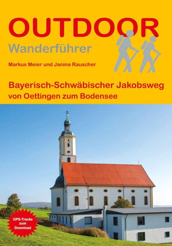
- Opruiming - Wandelgids Bayerisch-Schwäbischer Jakobsweg von Oettingen zum Bodensee | Conrad Stein Verlag
- OutdoorHandbuch. 2., überarbeitete Auflage. Lire la suite
De Zwerver
Netherlands
2016
Netherlands
2016
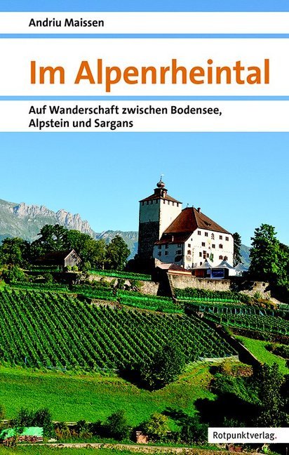
- Wandelgids Im Alpenrheintal - Alpenrijndal | Rotpunktverlag
- Auf Wanderschaft zwischen Bodensee, Alpstein und Sargans Lire la suite
Bol.com
Netherlands
Netherlands
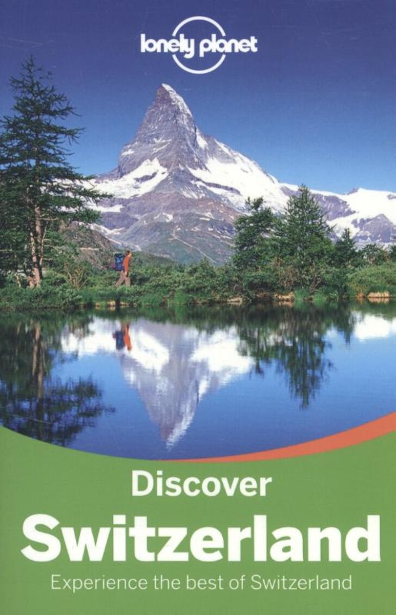
- Lonely Planet Discover Switzerland
- Lonely Planet: The world's leading travel guide publisher Lonely Planet Discover Switzerland is your passport to the most relevant, up-to-date advice on what to see and skip, and what hidden discoveries await you. Ski through fresh powder in the Swiss Alps, listen to cowbells while enjoying a picnic in a mountain meadow, or feast on fondue in... Lire la suite
- Also available from:
- Bol.com, Belgium
Bol.com
Belgium
Belgium
- Lonely Planet Discover Switzerland
- Lonely Planet: The world's leading travel guide publisher Lonely Planet Discover Switzerland is your passport to the most relevant, up-to-date advice on what to see and skip, and what hidden discoveries await you. Ski through fresh powder in the Swiss Alps, listen to cowbells while enjoying a picnic in a mountain meadow, or feast on fondue in... Lire la suite
Bol.com
Netherlands
2015
Netherlands
2015
- Oberschwaben
- Unbekanntes Oberschwaben! Zwischen Schw bischer Alb, Bodensee und Allg u gelegen, k nnen Aktivurlauber hier so einiges entdecken. Das sanfte gr ne H gelland ist durchsetzt mit tiefen W ldern, Mooren, Streuobstwiesen und idyllischen Weihern. Barocke Kirchen und Kl ster, prunkvolle Schl sser und historische Altst dte zeugen von einer reichen... Lire la suite
- Also available from:
- Bol.com, Belgium
- De Zwerver, Netherlands
Bol.com
Belgium
2015
Belgium
2015
- Oberschwaben
- Unbekanntes Oberschwaben! Zwischen Schw bischer Alb, Bodensee und Allg u gelegen, k nnen Aktivurlauber hier so einiges entdecken. Das sanfte gr ne H gelland ist durchsetzt mit tiefen W ldern, Mooren, Streuobstwiesen und idyllischen Weihern. Barocke Kirchen und Kl ster, prunkvolle Schl sser und historische Altst dte zeugen von einer reichen... Lire la suite
De Zwerver
Netherlands
2022
Netherlands
2022
- Wandelgids Oberschwaben | Rother Bergverlag
- De Rother wandelgidsen beschrijven zeer goed de wandelingen in specifieke gebieden. In de gids vindt men kaarten, routebeschrijvingen en de nodige praktische informatie om van de wandelingen/trekkings een geslaagde onderneming te maken. Unbekanntes Oberschwaben! Zwischen Schwäbischer Alb, Bodensee und Allgäu gelegen, können Aktivurlauber hier... Lire la suite
Cartes

Stanfords
United Kingdom
United Kingdom
- Foreste Casentinesi NP Monti Editore 20
- Map No. 20, Foreste Casentinesi: Campigna, Camaldoli, Chiusi dell Verna, in series of contoured, GPS compatible hiking maps at 1:25,000 from the Istituto Geografico Adriatico, covering mainly the spine of the Apennines along the borders of Tuscany, Emilia-Romagna, Umbria and the Marches.Map in this series have contours at 25m intervals with... Lire la suite

Stanfords
United Kingdom
United Kingdom
- Lake Constance Cycling Map
- Lake Constance on a waterproof, tear-resistant, GPS compatible cycling map at 1:50,000 from the ADFC (Allgemeiner Deutscher Fahrrad-Club - the official German cycling federation), in a series of maps with extensive overprint for long-distance and local cycling routes. GPS waypoints, route profiles, details of online links for information about... Lire la suite

Stanfords
United Kingdom
United Kingdom
- Arbon Swisstopo Hiking 217T
- Arbon area, map No. 217T, at 1:50,000 in a special hiking edition of the country’s topographic survey, published by Swisstopo in cooperation with the Swiss Hiking Federation. Cartography, identical to the standard version of the survey, is highly regarded for its superb use of graphic relief and hill shading to provide an almost 3-D picture of... Lire la suite

Stanfords
United Kingdom
United Kingdom
- Monti Sibillini National Park Edizioni Multigraphic 60/61
- Monti Sibillini National Park at 1:25,000 on a double-sided contoured map from Edizioni Multigraphic highlighting local waymarked hiking routes including the GAS – Grand Anello dei Sibilini, the circular tour around the mountains.The map has contours at 25m intervals with colouring for woodlands. Waymarked routes are highlighted and annotated... Lire la suite

Stanfords
United Kingdom
United Kingdom
- Alta Valle del Metauro: Valle del Candigliano, Monte Nerone, Monte Catria
- Map No. 122, Alta Valle del Metauro: Valle del Candigliano, Monte Nerone, Monte Catria, in a series of GPS compatible hiking maps at 1:50,000 from the Istituto Geografico Adriatico, covering parts of central Italy: eastern Tuscany, with northern Umbria and the Marches, plus the south-eastern of part of Emilia-Romagna.The maps have contours at... Lire la suite

Stanfords
United Kingdom
United Kingdom
- Lake Constance - Allgau Cycle Routes Bikeline Map-Guide
- Nearly 800kms of cycling routes in the northern environs of Lake Constance, from 18.5km to 76km long, presented by the Verlag Esterbauer in guide with maps at 1:50,000 showing the routes and their variants. Extensive information is conveyed by symbols, indicating road surface, campsites and other accommodation, repair workshops, recreational... Lire la suite

Stanfords
United Kingdom
United Kingdom
- Bodensee / Lake Constance Swisstopo 28
- Swiss topographic survey at 1:100,000 from Swisstopo, highly regarded for it superb use of graphic relief and hill shading, presenting an almost 3-D picture of the country`s mountainous terrain. Coverage is available either as small size standard sheets – Nos 26 to 48, each covering 70 x 48 km / 43 x 30 miles approx, or as larger size maps -... Lire la suite

Stanfords
United Kingdom
United Kingdom
- Alpe della Luna 17
- Map No. 16, Monte Carpegna - Sasso di Simone, in series of contoured, GPS compatible hiking maps at 1:25,000 from the Istituto Geografico Adriatico, covering mainly the spine of the Apennines along the borders of Tuscany, Emilia-Romagna, Umbria and the Marches.Map in this series have contours at 25m intervals with additional shading and... Lire la suite

Stanfords
United Kingdom
United Kingdom
- Baden-Wurttemberg Marco Polo Regional Map 11
- German state of Baden-Württemberg on a double-sided, indexed road map at 1:200,000 in the MairDumont’s Marco Polo series, prominently highlighting interesting locations and protected areas. The map divides the region north/south with a very generous overlap; Stuttgart and Strasburg are included on both sides and the whole of the Black Forest... Lire la suite
Stanfords
United Kingdom
United Kingdom
- Colline di Rimini
- Map No. 124, Colline di Rimini, in a series of GPS compatible hiking maps at 1:50,000 from the Istituto Geografico Adriatico, covering parts of central Italy: eastern Tuscany, with northern Umbria and the Marches, plus the south-eastern of part of Emilia-Romagna. This title covers the holiday resorts on the Adriatic coast around Rimini,... Lire la suite

Stanfords
United Kingdom
United Kingdom
- Lake Constance East Kompass 1b
- The environs of the western part of Lake Constance (Bodensee) on a detailed, GPS compatible map at 1:50,000 from Kompass with local and long-distance footpaths, cycling routes, accommodation, etc, printed on durable, waterproof and tear-resistant synthetic paper. KOMPASS HIKING & RECREATIONAL MAPS: this title is part of an extensive series... Lire la suite

Stanfords
United Kingdom
United Kingdom
- Alpe di San Benedetto 21
- Map No. 21, Alpe di San Benedetto: Passo del Muraglione – San Godenzo – Dicomano, in series of contoured, GPS compatible hiking maps at 1:25,000 from the Istituto Geografico Adriatico, covering mainly the spine of the Apennines along the borders of Tuscany, Emilia-Romagna, Umbria and the Marches.Map in this series have contours at 25m intervals... Lire la suite

Stanfords
United Kingdom
United Kingdom
- Lake Constance F&B Touring Map
- Lake Constance area at 1:75,000 on a touring and cycling map from Freytag & Berndt prominently highlighting scenic roads and special tourist routes, recommended cycling routes, and locations worth visiting. Coverage extends from north of Ravensburg in Germany to St. Gallen in Switzerland, and includes Bregenz and Dornbirn in Austria.On the... Lire la suite
Stanfords
United Kingdom
United Kingdom
- Alta Valle del Santerno 23
- Map No. 22, Alta Valle del Lamone: Alto Appennino Faentino – Anello di Marradi, in series of contoured, GPS compatible hiking maps at 1:25,000 from the Istituto Geografico Adriatico, covering mainly the spine of the Apennines along the borders of Tuscany, Emilia-Romagna, Umbria and the Marches.Map in this series have contours at 25m intervals... Lire la suite

Stanfords
United Kingdom
United Kingdom
- Lake Constance - Königssee Cycle Route Bikeline Map-Guide
- Lake Constance - Königssee Cycle Route, a 400-km long cycle trail along the whole length of the German Alps from Lindau to Berchtesgaden, presented by the Verlag Esterbauer in a guide with maps at 1:50,000 showing the route and its variants. Extensive information is conveyed by symbols, indicating road surface, campsites and other... Lire la suite