
Ribble Way
Description
- Name Ribble Way
- Distance de sentier 116 km, 72 milles
- Durée en jours 6 jours
- Classement Traildino EW, Marche facile, sentier de la nature

72 miles. 115 km.
The Ribble Way is named after River Ribble, from its source in the Yorkshire Dales to its estuary on the West Coast, Northwest of Manchester. The trail more or less follows the river, and runs flat most of the time, passing through many villages, gradually changing in remote hill country untill reaching the source of River Ribble at Jam Syke.
The route passes through a variety of landscapes including tidal marsh, open moorland and limestone gorges.
So it's up to you to make the choice: starting in heaven and walking down to busy daily life in the valley, or rather experience a slow kick off from your own daily business by walking out of it to heaven.
Select some tracks
☐Ribble Way, 111km
Carte

Liens
Données
Rapports
Guides et cartes
Hébergement
Organisations
Voyagistes
GPS
Autre
Livres

Stanfords
United Kingdom
2015
United Kingdom
2015
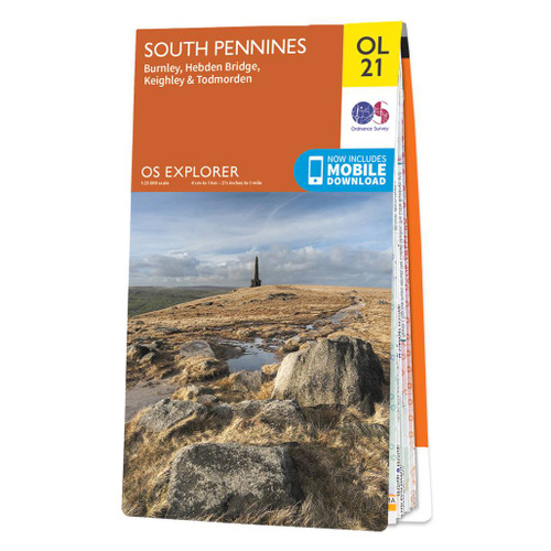
- South Pennines: Burnley, Hebden Bridge, Keighley & Todmorden OS Explorer Map OL21 (paper)
- The southern part of the Pennines on a detailed topographic and GPS compatible map OL21, paper version, from the Ordnance Survey’s 1:25,000 Explorer series. The map covers an area between Burney and Halifax, extending north to Skipton and Horton. Coverage includes Littleborough, Sowerby Bridge, Todmorden, Haworth, Nelson, Bernoldswick, the peak... Lire la suite
- Also available from:
- The Book Depository, United Kingdom
- De Zwerver, Netherlands


Stanfords
United Kingdom
United Kingdom
- South Pennines: Burnley, Hebden Bridge, Keighley & Todmorden OS Explorer Active Map OL21 (waterproof)
- The southern part of the Pennines on a detailed topographic and GPS compatible map OL21, waterproof version, from the Ordnance Survey’s 1:25,000 Explorer series. The map covers an area between Burney and Halifax, extending north to Skipton and Horton. Coverage includes Littleborough, Sowerby Bridge, Todmorden, Haworth, Nelson, Bernoldswick, the... Lire la suite
- Also available from:
- The Book Depository, United Kingdom

The Book Depository
United Kingdom
United Kingdom
Bol.com
Netherlands
2010
Netherlands
2010
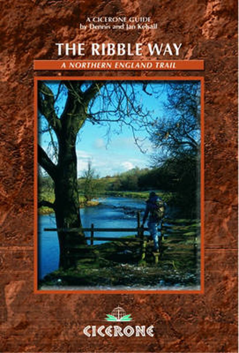
- The Ribble Way
- This is an essential guidebook for walking the Ribble Way. This 71-mile route follows the Ribble valley, from the estuary mouth, near Preston, to the river's source on Cam Fell in the Yorkshire Dales. The book contains a full route description split into seven convenient stages, with suggestions for day walkers. Lire la suite
- Also available from:
- Bol.com, Belgium
Bol.com
Belgium
2010
Belgium
2010
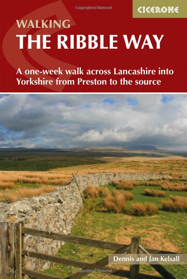
- The Ribble Way
- This is an essential guidebook for walking the Ribble Way. This 71-mile route follows the Ribble valley, from the estuary mouth, near Preston, to the river's source on Cam Fell in the Yorkshire Dales. The book contains a full route description split into seven convenient stages, with suggestions for day walkers. Lire la suite
Plus de livres …
Cartes

Stanfords
United Kingdom
United Kingdom
- Yorkshire Dales West
- The western part of the Yorkshire Dales on a waterproof and tear-resistant, contoured and GPS compatible map at 1:40,000 from Harvey Map Services showing local right of way paths, long-distance hiking routes, off road cycling routes, etc.Topography is shown by contours at 15m intervals, with spot heights plus colouring and graphics to show... Lire la suite