
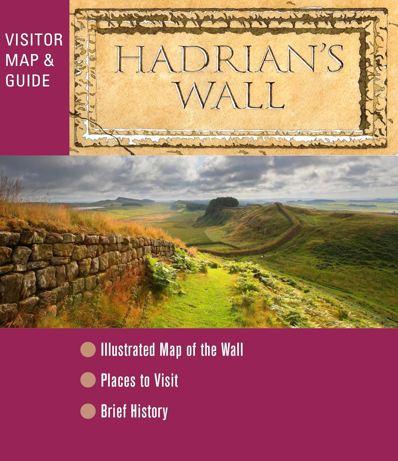
Hadrian's Wall
Description
- Name Hadrian's Wall
- Distance de sentier 135 km, 84 milles
- Durée en jours 7 jours
- Classement Traildino EW, Marche facile, sentier de la nature

84 miles, 135 km, 7 days
National Trail
This National Trail runs close to the defence wall built by Roman emporer Hadrian in the second century AD. Although the path is not very difficult, due to its distance from populated areas, careful planning in advance is necessary. The remoteness of Northumberland and the relative flatness of the walk with its great views, give it a special flavour and make it a popular walk.
Select some tracks
☐Hadrian's Wall Path, 139km
Carte

Liens
Données
Rapports
Guides et cartes
Hébergement
Organisations
Voyagistes
GPS
Autre
Livres

Stanfords
United Kingdom
2020
United Kingdom
2020
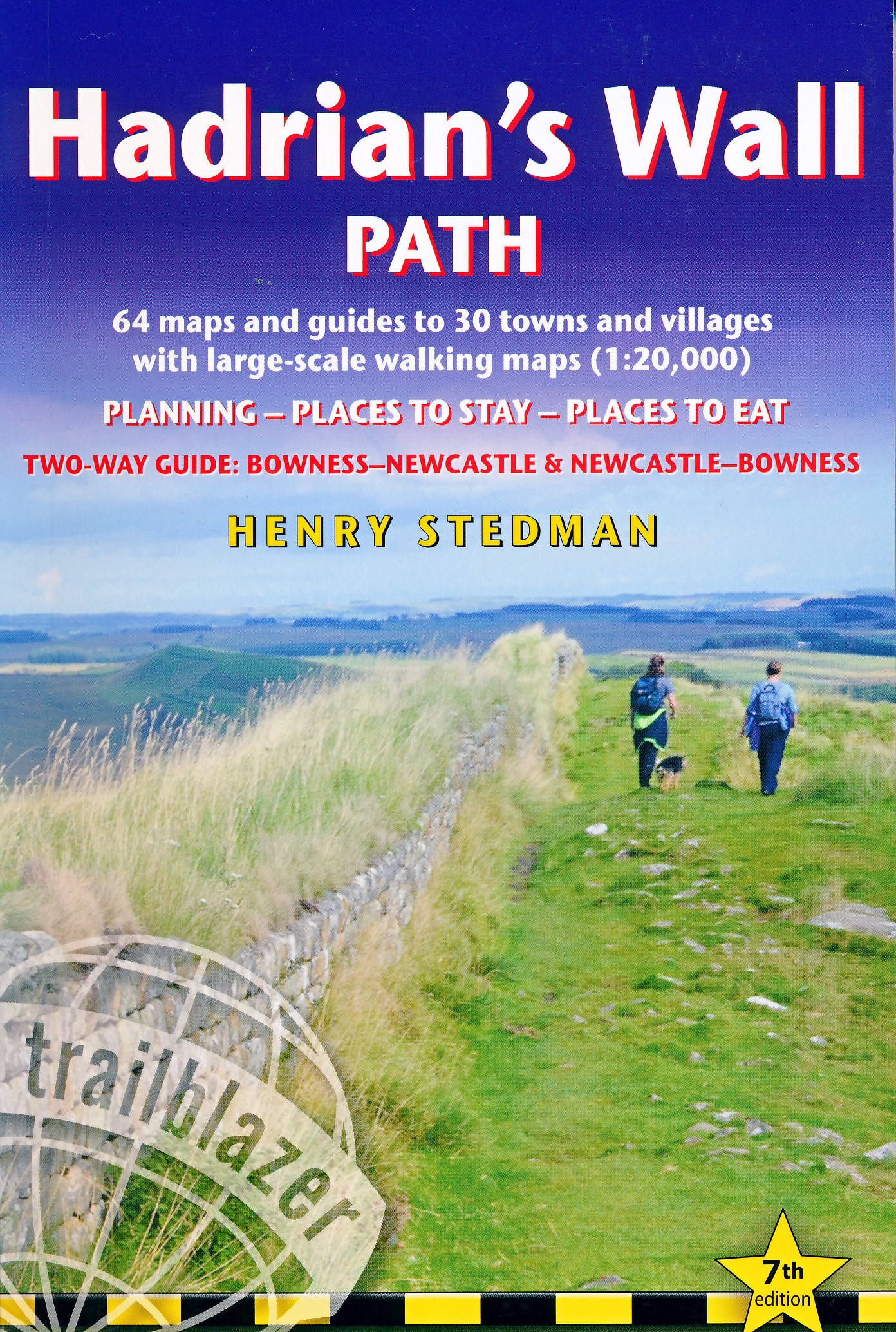
- Hadrian`s Wall Path
- Trailblazer British Walking Guide, two-way edition with routes re-walked from Bowness-on-Solway to Wallsend (Newcastle) and Wallsend (Newcastle) to Bowness-on-Solway. All-in-one guide to walking Hadrian`s Wall Path National Trail. Hadrian`s Wall Path, 84 miles from end to end, follows the course of northern Europe`s largest surviving Roman... Lire la suite

Stanfords
United Kingdom
United Kingdom
- Nevermind the Quantocks
- `Every one of us knows the moment when the simple act of putting one foot in front of another stops being a method of propulsion and becomes an adventure.` In this hilarious and heart-warming collection of essays, writer and broadcaster Stuart Maconie reflects on a life spent exploring the British countryside on foot. From the splendour of the... Lire la suite

The Book Depository
United Kingdom
2023
United Kingdom
2023
- Hadrian's Wall Path Trailblazer walking guide
- Two-way guide: Bowness to Newcastle and Newcastle to Bowness Lire la suite
- Also available from:
- De Zwerver, Netherlands
De Zwerver
Netherlands
2023
Netherlands
2023
- Wandelgids Hadrian's Wall Path | Trailblazer Guides
- Two-way guide: Bowness to Newcastle and Newcastle to Bowness Lire la suite

- Also available from:
- De Zwerver, Netherlands
- Also available from:
- De Zwerver, Netherlands
De Zwerver
Netherlands
2015
Netherlands
2015

- Also available from:
- De Zwerver, Netherlands
De Zwerver
Netherlands
2023
Netherlands
2023


Stanfords
United Kingdom
2018
United Kingdom
2018
- Walking in Northumberland: 36 walks throughout the national park - coast, Cheviots, Hadrian`s Wall and Pennines
- The book comprises 36 short walking routes between 4 and 14 miles in Northumberland, England`s most sparsely populated county. Ranging from easy ambles and gentle woodland trails to long days on the hills, there is something for all types of walker - and all types of weather. Taking in the beautiful coast with its immense, empty beaches and... Lire la suite
- Also available from:
- The Book Depository, United Kingdom
- De Zwerver, Netherlands

The Book Depository
United Kingdom
2018
United Kingdom
2018
- Walking in Northumberland
- 36 walks throughout the county - coast, Cheviots, Hadrian's Wall and Pennines Lire la suite
De Zwerver
Netherlands
2018
Netherlands
2018
- Wandelgids Walking in Northumberland | Cicerone
- Guidebook to walking in Northumberland. 36 graded walks of 4 to 14 miles, from the beautiful coast with its immense, empty beaches and dramatic, crag-top castles to the remote hills of the Cheviots and Pennines. Includes Hadrian's Wall, Lindisfarne Priory, Kielder, Berwick, Bamburgh and Dunstanburgh Castles and more. Lire la suite

The Book Depository
United Kingdom
2021
United Kingdom
2021
- Trekking the Hadrian's Wall Path (National Trail Guidebook with OS 1:25k maps)
- Two-way guidebook: described east-west and west-east Lire la suite
- Also available from:
- De Zwerver, Netherlands
De Zwerver
Netherlands
2021
Netherlands
2021
- Wandelgids Trekking the Hadrian's Wall Path | Knife Edge Outdoor
- Two-way guidebook: described east-west and west-east Lire la suite

The Book Depository
United Kingdom
United Kingdom
- The View from Hadrian's Wall
- Two Friends Hike Along the Ancient Roman Frontier Lire la suite

Stanfords
United Kingdom
United Kingdom
- Hadrian`s Wall Path
- Hadrian`s Wall Path, the whole 138km/86 miles route between Wallsend and Bowness-on-Solway, presented in eight stages at 1:40,000 on a light, waterproof and tear-resistant map from Footprint Walks in their series covering long-distance hiking routes. Contours are at 50 feet intervals, with spot heights also shown in feet. The one mile markers... Lire la suite
- Also available from:
- The Book Depository, United Kingdom
- Bol.com, Netherlands
- Bol.com, Belgium

Bol.com
Netherlands
Netherlands
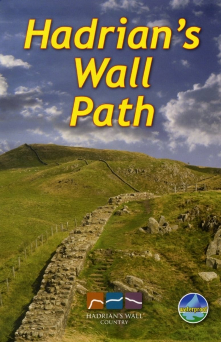
- Hadrian's Wall Path
- This combination of waterproof map and guide contains specially created strip maps of the route with compact, concise and essential information for walkers. Lire la suite
Bol.com
Belgium
Belgium
- Hadrian's Wall Path
- This combination of waterproof map and guide contains specially created strip maps of the route with compact, concise and essential information for walkers. Lire la suite

The Book Depository
United Kingdom
2016
United Kingdom
2016
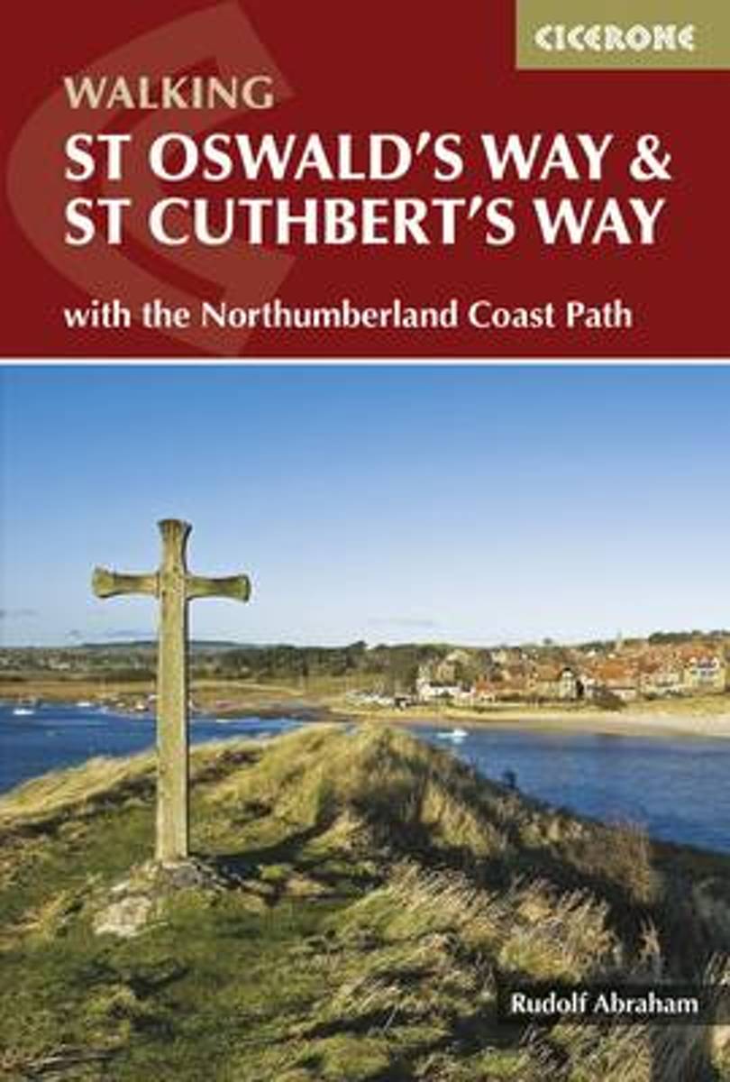
- St Oswald's Way and St Cuthbert's Way
- With the Northumberland Coast Path Lire la suite
- Also available from:
- Bol.com, Netherlands
- Bol.com, Belgium
- De Zwerver, Netherlands
Bol.com
Netherlands
2016
Netherlands
2016
- St Oswald's Way and St Cuthbert's Way
- This guide describes two long-distance trails through the unspoilt scenery of Northumberland and the Borders. St Oswald's Way begins at Heavenfield and its 97 miles take in rolling farmland and the Simonside Hills before reaching the vast sandy beaches of the coast. The 62 mile St Cuthbert's Way begins at Melrose and crosses the rugged crags... Lire la suite
Bol.com
Belgium
2016
Belgium
2016
- St Oswald's Way and St Cuthbert's Way
- This guide describes two long-distance trails through the unspoilt scenery of Northumberland and the Borders. St Oswald's Way begins at Heavenfield and its 97 miles take in rolling farmland and the Simonside Hills before reaching the vast sandy beaches of the coast. The 62 mile St Cuthbert's Way begins at Melrose and crosses the rugged crags... Lire la suite
De Zwerver
Netherlands
2016
Netherlands
2016
- Wandelgids St Oswald's Way and St Cuthbert's Way | Cicerone
- This guidebook describes two long-distance trails through Northumberland and the Borders. St Oswald's Way runs 97 miles from Heavenfield near Hadrian's Wall. St Cuthbert's Way is 62 miles from Melrose. Both routes pass through Northumberland National Park and follow part of the Northumberland Coast Path to meet at Holy Island. Lire la suite

Stanfords
United Kingdom
2016
United Kingdom
2016
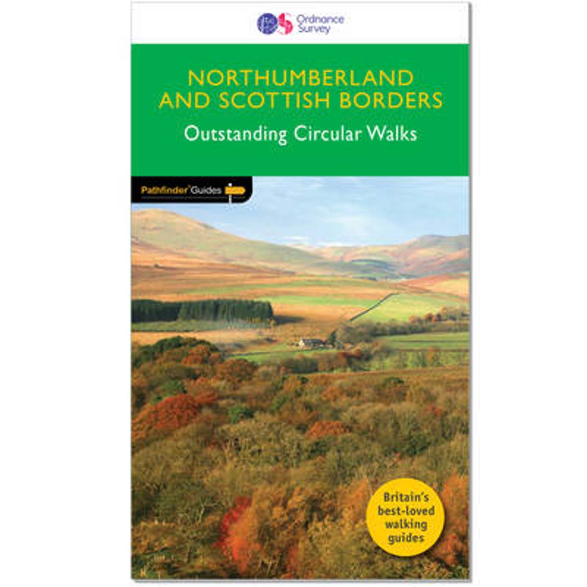
- Northumberland & the Scottish Borders
- Pathfinder(R) Northumberland and the Scottish Borders covering Blanchland, Melrose and Hartside. This selection offers interest, regional variety and balance of routes in Northumberland the the Scottish Borders providing the best walks in the area. From an easy stroll through Doddington Moor to the much more challenging walks in Windy Gyle this... Lire la suite
- Also available from:
- The Book Depository, United Kingdom
- Bol.com, Netherlands
- Bol.com, Belgium

Bol.com
Netherlands
2016
Netherlands
2016
- Northumberland & the Scottish Borders
- Pathfinder(R) Northumberland and the Scottish Borders covering Blanchland, Melrose and Hartside. This selection offers interest, regional variety and balance of routes in Northumberland the the Scottish Borders providing the best walks in the area. From an easy stroll through Doddington Moor to the much more challenging walks in Windy Gyle this... Lire la suite
Bol.com
Belgium
2016
Belgium
2016
- Northumberland & the Scottish Borders
- Pathfinder(R) Northumberland and the Scottish Borders covering Blanchland, Melrose and Hartside. This selection offers interest, regional variety and balance of routes in Northumberland the the Scottish Borders providing the best walks in the area. From an easy stroll through Doddington Moor to the much more challenging walks in Windy Gyle this... Lire la suite

The Book Depository
United Kingdom
2009
United Kingdom
2009
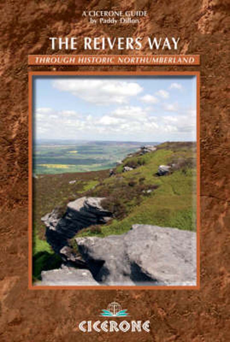
- The Reivers Way
- A guidebook to walking the Reivers Way. Follow in the footsteps of the border reivers on this 240km (150 mile) route running from Corbridge to Alnmouth. The reivers route wanders through wild and scenic parts of Northumberland, and can be walked in 9 days. The book also includes variants and alternative routes. Lire la suite
- Also available from:
- Bol.com, Netherlands
- Bol.com, Belgium
Bol.com
Netherlands
2009
Netherlands
2009
- The Reivers Way
- A comprehensive guide to walking The Reivers Way, a long-distance path through Northumberland at the northern edge of England, from Corbridge to Alnmouth. Follow in the footsteps of the notorious border 'reivers' and discover how they survived centuries of strife and warfare. The Reivers Way wanders for 150 miles (240 kilometres) through the... Lire la suite
Bol.com
Belgium
2009
Belgium
2009
- The Reivers Way
- A comprehensive guide to walking The Reivers Way, a long-distance path through Northumberland at the northern edge of England, from Corbridge to Alnmouth. Follow in the footsteps of the notorious border 'reivers' and discover how they survived centuries of strife and warfare. The Reivers Way wanders for 150 miles (240 kilometres) through the... Lire la suite
Cartes

Stanfords
United Kingdom
2014
United Kingdom
2014
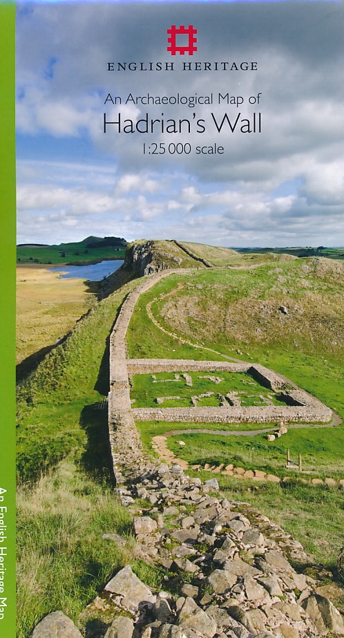
- Hadrian`s Wall Archaeological Map
- Hadrian’s Wall and the nearby archaeological Roman remains on a light, waterproof and tear-resistant map from the English Heritage with the base map from the Ordnance Survey 1:25,000 Explorer series.The map presents in six panels the whole course of the wall including its sections across the present day Newcastle, plus the adjoining area along... Lire la suite
- Also available from:
- The Book Depository, United Kingdom
- De Zwerver, Netherlands

The Book Depository
United Kingdom
2014
United Kingdom
2014
- An Archaeological Map of Hadrian's Wall
- 1:25000 Scale Revised Edition Lire la suite
De Zwerver
Netherlands
2014
Netherlands
2014
- Historische Kaart An Archaeological Map of Hadrian's Wall | English Heritage
- Hadrian’s Wall and the nearby archaeological Roman remains on a light, waterproof and tear-resistant map from the English Heritage with the base map from the Ordnance Survey 1:25,000 Explorer series.The map presents in six panels the whole course of the wall including its sections across the present day Newcastle, plus the adjoining area along... Lire la suite

Stanfords
United Kingdom
2019
United Kingdom
2019
- Hadrian`s Wall Path Harvey National Trail XT40
- Hadrian’s Wall Path, a 135km / 84 mile national trail between Bowness-on-Solway and Wallsend on Tyne which for the greater part of its course shadows the historic line of the Roman wall, presented at 1:40,000 on a map from Harvey Map Services. The route is shown on seven panels, with enlargements for important sections with archaeological... Lire la suite
- Also available from:
- The Book Depository, United Kingdom
- De Zwerver, Netherlands

The Book Depository
United Kingdom
2019
United Kingdom
2019
- Hadrian's Wall
- Een bijzonder handige kaart van dit lange-afstands-wandelpad. Op waterafstotend papier met veel details. Het enige dat je eigenlijk een beetje mist is een overzicht. Verder uitstekend en voldoende voor de route. Compact and light - the map itself weighs just 60gms - a third of the weight of a laminated map, and much less bulky. And you can fold... Lire la suite

De Zwerver
Netherlands
2019
Netherlands
2019
- Wandelkaart Hadrian's Wall | Harvey Maps
- Een bijzonder handige kaart van dit lange-afstands-wandelpad. Op waterafstotend papier met veel details. Het enige dat je eigenlijk een beetje mist is een overzicht. Verder uitstekend en voldoende voor de route. Compact and light - the map itself weighs just 60gms - a third of the weight of a laminated map, and much less bulky. And you can fold... Lire la suite

Stanfords
United Kingdom
2015
United Kingdom
2015
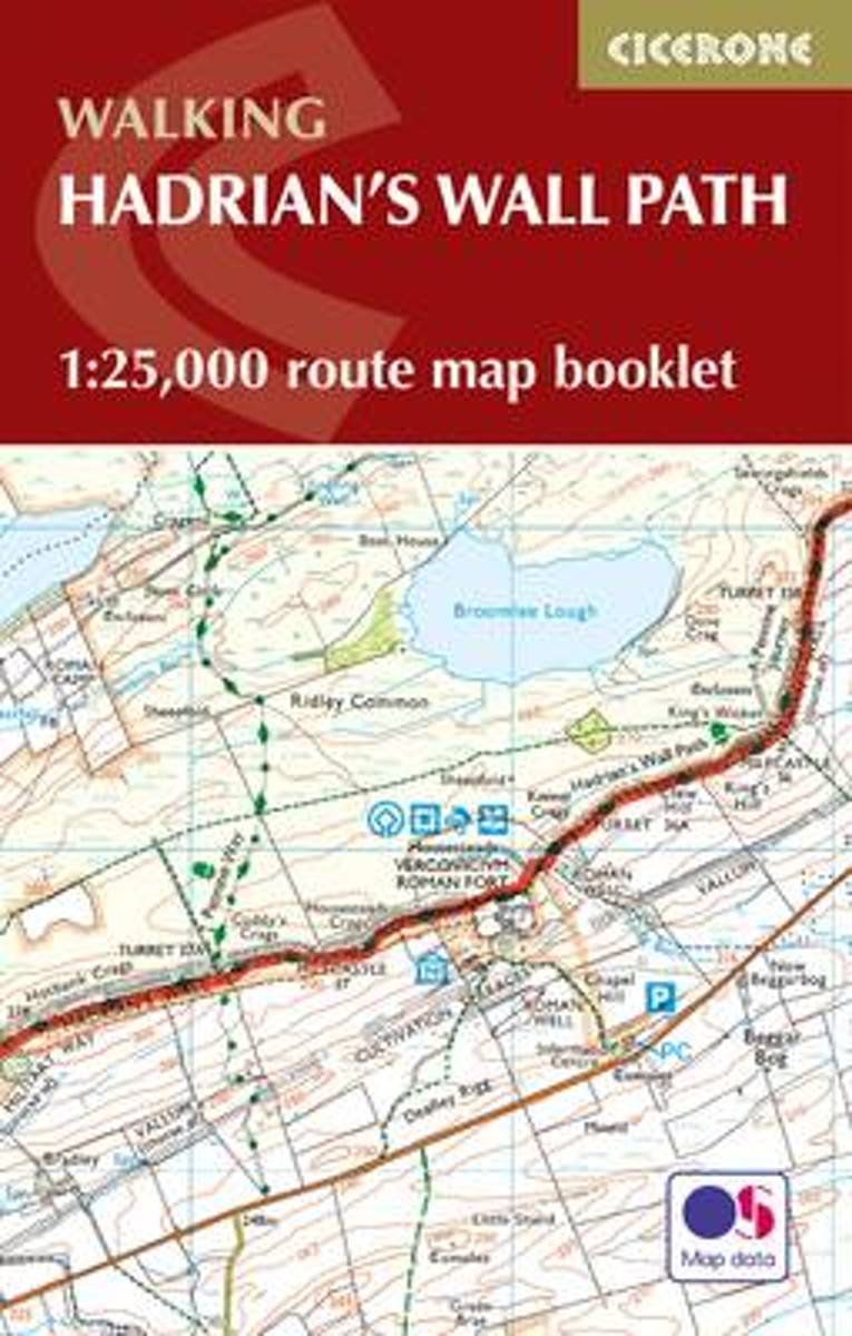
- Hadrian`s Wall Path Cicerone Map Booklet
- Hadrian’s Wall Path National Trail on mapping at 1:25,000 from the Ordnance Survey’s Explorer series in a pocket-size booklet from Cicerone Press. The 135km / 84 mile trail from Bowness-on-Solway to Wallsend, with an extension to South Shields, is presented with a route profile, plus summaries of distance and approximate walking time for each... Lire la suite
- Also available from:
- Bol.com, Netherlands
- Bol.com, Belgium
Bol.com
Netherlands
2015
Netherlands
2015
- Hadrian's Wall Path Map Booklet
- All the mapping you need to complete the 84 mile (135km) Hadrian's Wall Path from Bowness-on-Solway in Cumbria to Wallsend, Newcastle. One of the UK's most visited national trails, it typically takes a week to walk, and is suitable for walkers and trekkers at all levels of experience. This booklet of Ordnance Survey 1:25,000 Explorer maps has... Lire la suite
Bol.com
Belgium
2015
Belgium
2015
- Hadrian's Wall Path Map Booklet
- All the mapping you need to complete the 84 mile (135km) Hadrian's Wall Path from Bowness-on-Solway in Cumbria to Wallsend, Newcastle. One of the UK's most visited national trails, it typically takes a week to walk, and is suitable for walkers and trekkers at all levels of experience. This booklet of Ordnance Survey 1:25,000 Explorer maps has... Lire la suite

The Book Depository
United Kingdom
2019
United Kingdom
2019
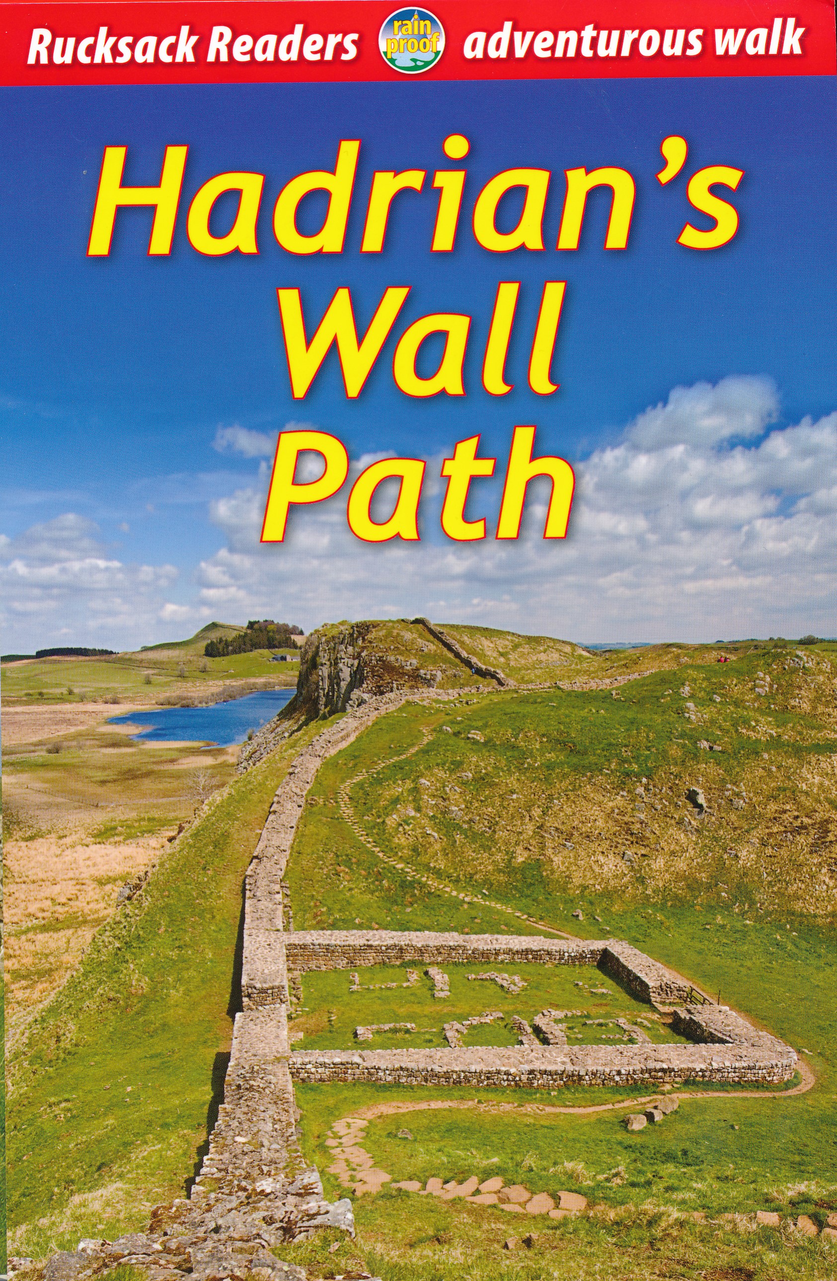
- Hadrian's Wall Path
- Hadrian's Wall Path, a 138km / 86 mile long trail from Bowness-on-Solway to Wallsend along the remains of the Roman walls and forts, presented by Rucksack Readers in handy A5 size, spiral-bound, waterproof guide with mapping at 1:100,000. The 64-page guide provides general advice on when to go, availability of accommodation, etc, and includes... Lire la suite
- Also available from:
- Bol.com, Netherlands
- Bol.com, Belgium
- De Zwerver, Netherlands
Bol.com
Netherlands
2019
Netherlands
2019
- Hadrian's Wall Path
- ?Hadrians Wall Path runs for 86 miles from Bowness-on-Solway to Wallsend along the line of the Roman Wall completed in AD122 under the Emperor Hadrian. This National Trail crosses northern England from Irish Sea to North Sea and offers many chances to look at the forts, milecastles and interpretation centers within this UNESCO World Heritage... Lire la suite
Bol.com
Belgium
2019
Belgium
2019
- Hadrian's Wall Path
- ?Hadrians Wall Path runs for 86 miles from Bowness-on-Solway to Wallsend along the line of the Roman Wall completed in AD122 under the Emperor Hadrian. This National Trail crosses northern England from Irish Sea to North Sea and offers many chances to look at the forts, milecastles and interpretation centers within this UNESCO World Heritage... Lire la suite
De Zwerver
Netherlands
2019
Netherlands
2019
- Wandelgids Hadrian's Wall path | Rucksack Readers
- Hadrian's Wall Path, a 138km / 86 mile long trail from Bowness-on-Solway to Wallsend along the remains of the Roman walls and forts, presented by Rucksack Readers in handy A5 size, spiral-bound, waterproof guide with mapping at 1:100,000. The 64-page guide provides general advice on when to go, availability of accommodation, etc, and includes... Lire la suite
De Zwerver
Netherlands
2023
Netherlands
2023