
Sentiers Frontaliers
Description
- Name Sentiers Frontaliers
- Distance de sentier 110 km, 68 milles
- Durée en jours 7 jours
- Début de sentier Notre-Dame-des-Bois
- Classement Traildino MW, Marche modérée, sentier de randonnée
- Classement Traversée de montagne T1, Randonnée

Near Notre-Dame-des-Bois, 83 km, 5 days (+ 27 km side trails)
The Sentiers Frontaliers can be found in the south eastern tip of Quebec. This is a mountainous and quiet area on the border with the USA, about 150 km east of Montreal. The path is connected to the Cohos Trail in New Hampshire, USA.
The main route is 83 km long. There are also 7 secondary paths. Highest point is popular with hikers: Mont Gosford, 1193 m. Other parts of the route are less frequently explored. The hike requires good fitness.
Carte

Liens
Données
Rapports
Guides et cartes
Hébergement
Organisations
Voyagistes
GPS
Autre
Livres

The Book Depository
United Kingdom
United Kingdom
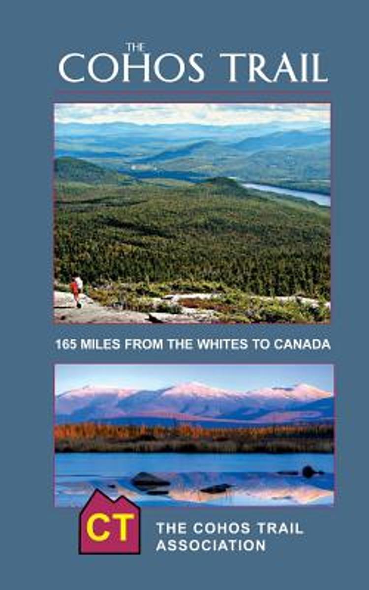
- The Cohos Trail
- 170-Miles of Hiking Trail from the Whites to Canada, 2017. Fourth Edition Lire la suite
- Also available from:
- Bol.com, Netherlands
- Bol.com, Belgium
Bol.com
Netherlands
Netherlands
- The Cohos Trail
- The definitive guide to the New England's longest new hiking trail system built in nearly a century. Now in its fourth edition. The Cohos Trail stretches from Crawford Notch below Mt. Washington in the White Mountain National Forest all the way to a two-acre fen on the Canadian border that is the headwaters of the Connecticut River. And the... Lire la suite
Bol.com
Belgium
Belgium
- The Cohos Trail
- The definitive guide to the New England's longest new hiking trail system built in nearly a century. Now in its fourth edition. The Cohos Trail stretches from Crawford Notch below Mt. Washington in the White Mountain National Forest all the way to a two-acre fen on the Canadian border that is the headwaters of the Connecticut River. And the... Lire la suite