Mantario Trail
Description
- Name Mantario Trail
- Distance de sentier 66 km, 41 milles
- Durée en jours 4 jours
- Classement Traildino MW, Marche modérée, sentier de randonnée
- Classement Traversée de montagne T1, Randonnée
Riding Mountain National Park, 66 km, 4 days
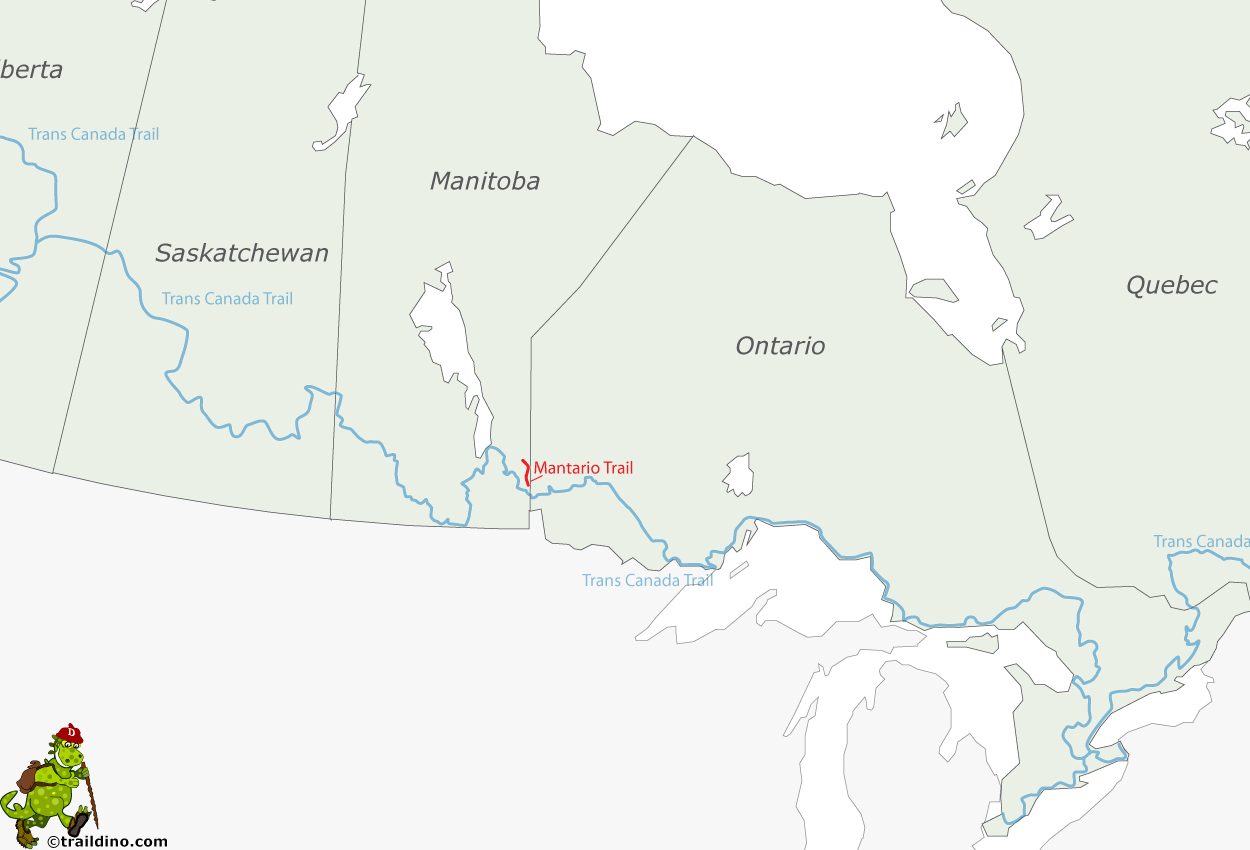
The Mantario Trail is a multipurpose wilderness trail (one of the more difficult ones) in southeastern Manitoba, approximately 150 km east of Winnipeg. The trail meanders over the old rock plateau of the Canadian Shield. The trail is predominantly in Whiteshell Provincial Park. Scattered along the trail are backcountry campsites. A large portion of the Mantario Trail is in a Wilderness Zone, and this is protected from motorized access and hunting.
Select some tracks
☐Mantario Trail, 61km


