Cataraqui Trail
Description
- Name Cataraqui Trail
- Distance de sentier 104 km, 65 milles
- Durée en jours 5 jours
- Début de sentier Strathcona
- Fin de sentier Smiths Falls
- Classement Traildino EW, Marche facile, sentier de la nature
Strathcona – Smiths Falls, 104 km, 5 days
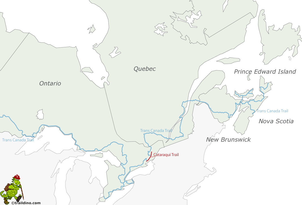
The Cataraqui Trail is a multiuse trail that uses the former Canadian National Railway line from Strathcona near Napanee to Smiths Falls. Along the way you may encounter hikers, cyclists, equestrians, snowmobilers, and cross-country skiers, depending on the season.
In winter here in Ontario, there is plenty of snow. In summer many nasty bugs seem hovering over and around the swamps, especially in June.
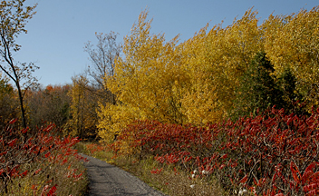
The walk is interesting for two reasons: scenery - lakes, forests, swamps, rivers - and history - ancient canals, mills, factories, mines. The sleepy communities along the way were once bustling towns.


