Elora Cataract Trailway
Description
- Name Elora Cataract Trailway
- Distance de sentier 47 km, 29 milles
- Durée en jours 3 jours
- Début de sentier Elora
- Fin de sentier Cataract
- Classement Traildino EW, Marche facile, sentier de la nature
Elora – Cataract, 47 km
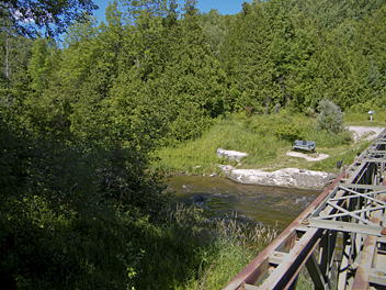
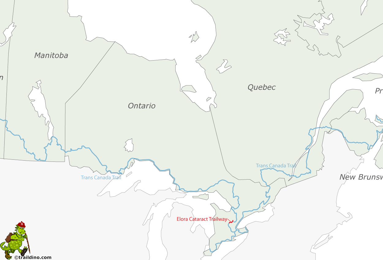
The Elora Cataract Trailway is a 47km-long recreational rail trail between the towns of Elora and Forks of the Credit, in the south of the province of Ontario, Canada.
The former railway operated from about 1880 until 1988, connecting several communities. Now, the track has been turned into a trailway.
It is a multi-use trail for hikers, cyclists, skiers and snowmobilers.
Select some tracks
☐Elora Cataract Trailway (hiking), 49km


