Sentier de l'Estrie
Description
- Name Sentier de l'Estrie
- Distance de sentier 200 km, 124 milles
- Durée en jours 11 jours
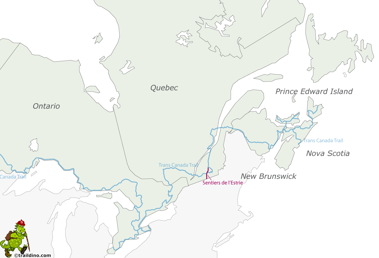
- Début de sentier Border Québec-USA near Sutton
- Fin de sentier Kingsbury near Richmond
- Classement Traildino MW, Marche modérée, sentier de randonnée
- Classement Traversée de montagne T1, Randonnée
Border Québec-USA near Sutton – Kingsbury near Richmond, 200km
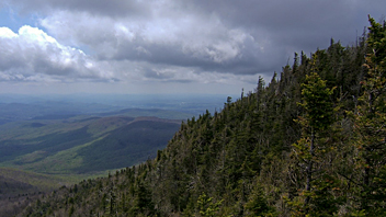
This is a good hiking trail for nature lovers, located in the forested and hilly regions of the Monts Stoke and valley of River Saint-François. The mountains reach 600 meters and more. The trail also passes through the Parc national du Mont-Orford.
The trail is located in Québec, hence much information is in French. It is well maintained by the organisation with the same name as the trail, who publish a guide and maps. On trail you will find accommodation at regular intervals as well as campsites. Wild camping is not allowed in many places.
The southern tip of the Sentiers the lÉstrie touches the Canadian – American border, and it is possible to continue south on the Long Trail. The northern tip of the trail reaches Richmond.


