
Oregon
Description
Oregon, beautiful state on the Pacific Ocean, includes the high Cascade Range.
The Pacific Crest Trail offers 462 miles of hiking in Oregon. A bit lower is the 120 mile Metolius-Windigo Trail. An opportunity to explore the ocean is the 382 mile Oregon Coast Trail. The Fremont National Forest offers you the 134 mile Fremont National Recreation Trail.
Among the best, mainly mountainous, hiking areas are the Wallowa-Whitman National Forest, Willamette National Forest, Mount Hood National Forest, Umatilla National Forest, Umpqua National Forest, Deschutes National Forest. The list is longer, though.
Carte

Sentiers de cette état
Liens
Données
Rapports
Guides et cartes
Hébergement
Organisations
Voyagistes
GPS
Autre
Livres

Stanfords
United Kingdom
2020
United Kingdom
2020
- DK Eyewitness Pacific Northwest: Oregon, Washington and British Columbia
- Follow the call of the wild to the pristine Pacific NorthwestWhether you want to hike through the spellbinding landscape of the Rockies, unwind with homebrewed beer in Portland or venture to Vancouver for immersive galleries and innovative dining, your DK Eyewitness travel guide makes sure you experience all that the Pacific Northwest has to... Lire la suite

The Book Depository
United Kingdom
United Kingdom
- Moon Oregon Trail Road Trip (First Edition)
- Historic Sites, Small Towns, and Scenic Landscapes Along the Legendary Westward Route Lire la suite

The Book Depository
United Kingdom
United Kingdom
- Pacific Crest Trail Data Book
- Mileages, Landmarks, Facilities, Resupply Data, and Essential Trail Information for the Entire Pacific Crest Trail, from Mexico to Canada Lire la suite


The Book Depository
United Kingdom
United Kingdom
- Urban Hikes Oregon
- A Guide to the State's Greatest Urban Hiking Adventures Lire la suite
The Book Depository
United Kingdom
United Kingdom
- Pacific Crest Trail, Washington South
- Topographic Map Guide Lire la suite

The Book Depository
United Kingdom
United Kingdom
- Walk With Me
- Discover Hoyt Arboretum in Portland, Oregon Lire la suite
The Book Depository
United Kingdom
United Kingdom
- Oregon Uncaged
- A Tale of Two-Sips on the Pacific Crest Trail Lire la suite

The Book Depository
United Kingdom
United Kingdom
- A Twisting Journey Continues
- Northern Oregon Backroads Guide to the PCT Lire la suite

Stanfords
United Kingdom
2021
United Kingdom
2021
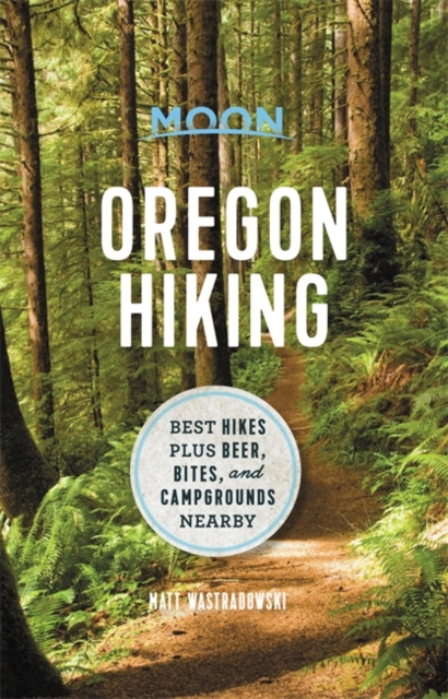
- Moon Oregon Hiking (First Edition): Best Hikes plus Beer, Bites, and Campgrounds Nearby
- Misty ancient forests, rugged high deserts, and black sand beaches: wherever you turn in Oregon, adventure awaits. Pack a lunch, lace up your boots, and hit the trails with Moon Oregon Hiking. Inside you`ll find:* Diverse Hiking Options: Whether you plan to take peaceful walks along the coast or challenging treks up Mount Hood, enjoy outdoor... Lire la suite
- Also available from:
- The Book Depository, United Kingdom
- De Zwerver, Netherlands

The Book Depository
United Kingdom
2021
United Kingdom
2021
- Moon Oregon Hiking (First Edition)
- Best Hikes plus Beer, Bites, and Campgrounds Nearby Lire la suite
De Zwerver
Netherlands
2021
Netherlands
2021
- Wandelgids Oregon Hiking | Moon Travel Guides
- Misty ancient forests, rugged high deserts, and black sand beaches: wherever you turn in Oregon, adventure awaits. Pack a lunch, lace up your boots, and hit the trails with Moon Oregon Hiking. Inside you`ll find:* Diverse Hiking Options: Whether you plan to take peaceful walks along the coast or challenging treks up Mount Hood, enjoy outdoor... Lire la suite


The Book Depository
United Kingdom
United Kingdom
- Oregon Day Hikes
- A Folding Guide to Easy & Accessible Trails Lire la suite
The Book Depository
United Kingdom
United Kingdom
- Pacific Crest Trail, Washington North
- Topographic Map Guide Lire la suite

The Book Depository
United Kingdom
United Kingdom
- A Twisting Journey
- Southern Oregon Backroads Guide to the PCT Lire la suite

The Book Depository
United Kingdom
2020
United Kingdom
2020
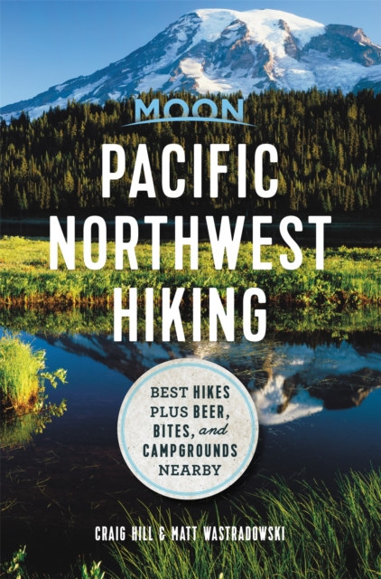
- Moon Pacific Northwest Hiking (First Edition)
- Best Hikes plus Beer, Bites, and Campgrounds Nearby Lire la suite
- Also available from:
- De Zwerver, Netherlands
De Zwerver
Netherlands
2020
Netherlands
2020
- Wandelgids Pacific Northwest Hiking | Moon Travel Guides
- Best Hikes plus Beer, Bites, and Campgrounds Nearby Lire la suite
Cartes

Stanfords
United Kingdom
United Kingdom
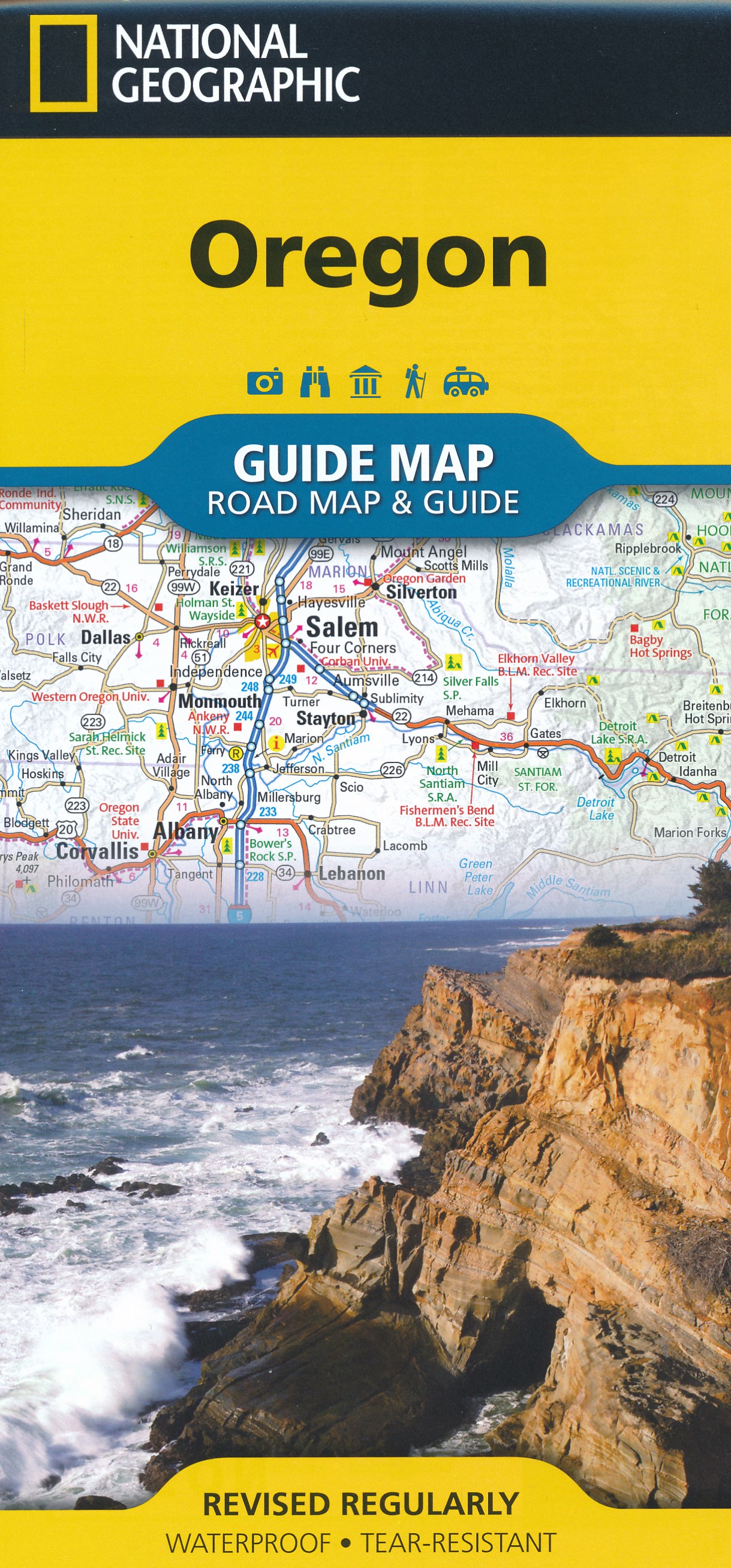
- Oregon Recreational Atlas & Gazetteer
- Oregon Recreational Atlas and Gazetteer at 1:157,000 approx. in a series of large format paperback state atlases from DeLorme, with detailed, contoured, GPS compatible topographic mapping, with additional more detailed mapping of the Crater Lake area at 1:100,000. Recreational information includes lists of recommended family outings, unique... Lire la suite

Stanfords
United Kingdom
United Kingdom
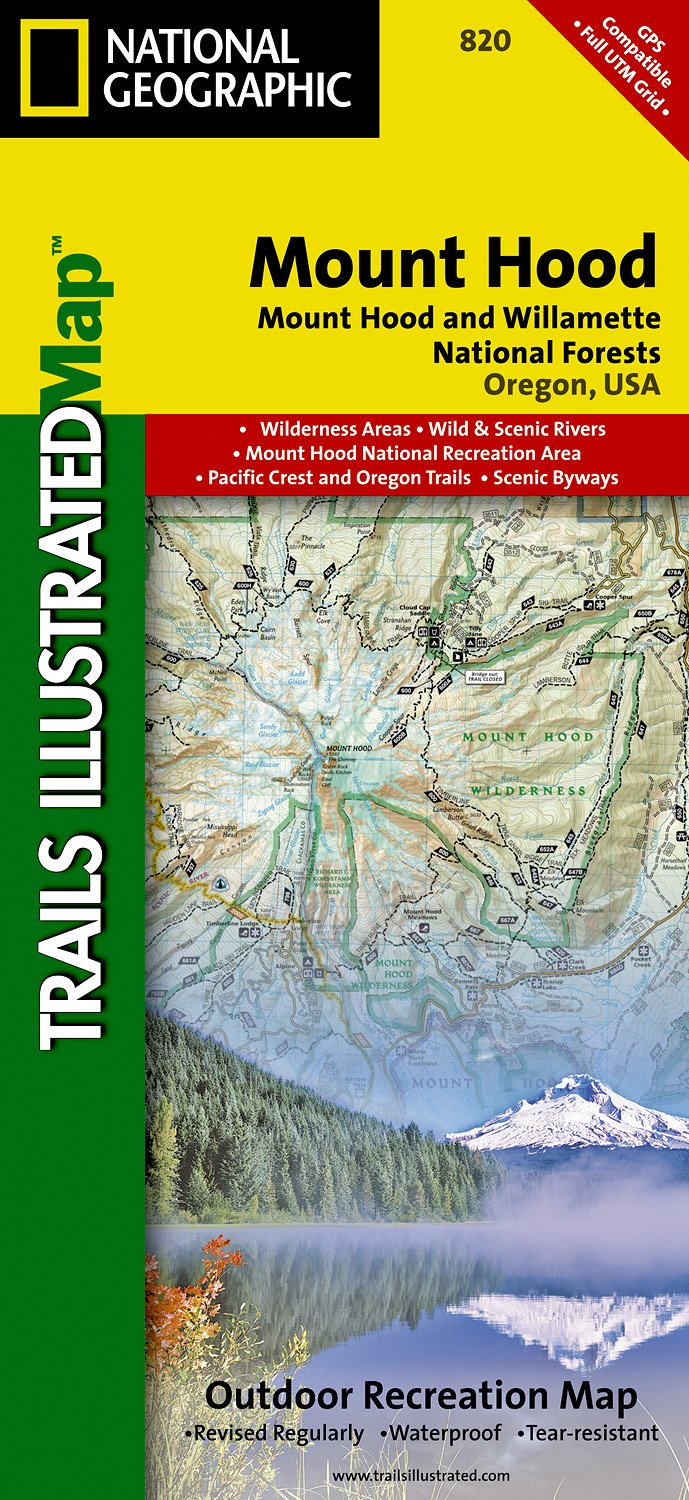
- Mount Hood and Willamette National Forests OR
- Map No. 820, Mount Hood and Willamette National Forests in Oregon, in an extensive series of GPS compatible, contoured hiking maps of USA’s national and state parks or forests and other popular recreational areas. Cartography based on the national topographic survey, with additional tourist information.The maps, with most titles now printed on... Lire la suite
- Also available from:
- The Book Depository, United Kingdom
- De Zwerver, Netherlands

The Book Depository
United Kingdom
United Kingdom
- Mount Hood, Mount Hood & Willamette National Forests
- Trails Illustrated Other Rec. Areas Lire la suite
De Zwerver
Netherlands
Netherlands
- Wandelkaart - Topografische kaart 820 Mount Hood and Willamette National Forests | National Geographic
- Prachtige geplastificeerde kaart van het bekende nationaal park. Met alle recreatieve voorzieningen als campsites, maar ook met topografische details en wandelroutes ed. Door uitgekiend kleurgebruik zeer prettig in gebruik. Scheur en watervast! Located just outside of Portland, Mt. Hood is the tallest peak in Oregon, the fourth highest in the... Lire la suite

Stanfords
United Kingdom
United Kingdom
- Alpine Lakes Wilderness - Mt Baker-Snoqualmie and Okanogan-Wenatchee National Forests WA
- Map No. 825, Alpine Lakes Wilderness Area - Mount Baker-Snoqualmie Wilderness Areas and Okanogan-Wenatchee National Forests, WA, in an extensive series of GPS compatible, contoured hiking maps of USA’s national and state parks or forests and other popular recreational areas. Cartography based on the national topographic survey, with additional... Lire la suite
- Also available from:
- Bol.com, Netherlands
- Bol.com, Belgium

Bol.com
Netherlands
Netherlands
- Alpine Lakes Wilderness Area, Mount Baker-snoqualmie & Okanogan-wenatchee National Forests
- Waterproof Tear-Resistant Topographic MapMount Baker-Snoqualmie and Okanogan-Wenatchee National Forests Washington, USAOne of five new Trails Illustrated maps for the Washington Cascades region offering the most detailed and up-to-date map for the forest, carefully researched and developed in co-operation with local land managers and... Lire la suite
Bol.com
Belgium
Belgium
- Alpine Lakes Wilderness Area, Mount Baker-snoqualmie & Okanogan-wenatchee National Forests
- Waterproof Tear-Resistant Topographic MapMount Baker-Snoqualmie and Okanogan-Wenatchee National Forests Washington, USAOne of five new Trails Illustrated maps for the Washington Cascades region offering the most detailed and up-to-date map for the forest, carefully researched and developed in co-operation with local land managers and... Lire la suite

Stanfords
United Kingdom
United Kingdom
- Mount Whitney CA NGS Trails Illustrated Map 322
- Map No. 322, Mount Whitney in California at 1:40,000, in an extensive series of GPS compatible, contoured hiking maps of USA’s national and state parks or forests and other popular recreational areas. Cartography is based on the national topographic survey, with additional tourist information.The maps, with most titles now printed on light,... Lire la suite
- Also available from:
- Bol.com, Netherlands
- Bol.com, Belgium

Bol.com
Netherlands
Netherlands
- Mount Whitney
- Waterproof Tear-Resistant Topographic MapMount Whitney is universally famous as the highest mountain in the United State outside of Alaska, as well as the highest point in California. National Geographic's Trails Illustrated map of Mount Whitney is a two-sided, waterproof map designed to meet the needs of Whitney visitors with unmatched... Lire la suite
Bol.com
Belgium
Belgium
- Mount Whitney
- Waterproof Tear-Resistant Topographic MapMount Whitney is universally famous as the highest mountain in the United State outside of Alaska, as well as the highest point in California. National Geographic's Trails Illustrated map of Mount Whitney is a two-sided, waterproof map designed to meet the needs of Whitney visitors with unmatched... Lire la suite


Stanfords
United Kingdom
United Kingdom
- Sequoia - Kings Canyon National Parks CA NGS Trails Illustrated Map 205
- Map No. 205, Sequoia/Kings Canyon National Park, CA, in an extensive series of GPS compatible, contoured hiking maps of USA’s national and state parks or forests and other popular recreational areas. Cartography based on the national topographic survey, with additional tourist information.The maps, with most titles now printed on light,... Lire la suite
- Also available from:
- The Book Depository, United Kingdom
- Bol.com, Netherlands
- Bol.com, Belgium
- De Zwerver, Netherlands

The Book Depository
United Kingdom
United Kingdom
- Sequoia/kings Canyon National Park
- Trails Illustrated National Parks Lire la suite

Bol.com
Netherlands
Netherlands
- Sequoia/kings Canyon National Park
- Waterproof Tear-Resistant Topographic MapIn Sequioa and Kings Canyon National Parks you can walk among the world's largest trees, hike the alpine landscape of the Sierra Crest, and marvel at the towering granite cliffs of one of the deepest canyons in the United States. National Geographic's Trails Illustrated map of Sequoia and Kings... Lire la suite
Bol.com
Belgium
Belgium
- Sequoia/kings Canyon National Park
- Waterproof Tear-Resistant Topographic MapIn Sequioa and Kings Canyon National Parks you can walk among the world's largest trees, hike the alpine landscape of the Sierra Crest, and marvel at the towering granite cliffs of one of the deepest canyons in the United States. National Geographic's Trails Illustrated map of Sequoia and Kings... Lire la suite

De Zwerver
Netherlands
Netherlands
- Wandelkaart - Topografische kaart 205 Sequoia - Kings Canyon National Parks | National Geographic
- Prachtige geplastificeerde kaart van het nationaal park. Met alle recreatieve voorzieningen als campsites, maar ook met topografische details en wandelroutes ed. Door uitgekiend kleurgebruik zeer prettig in gebruik. Scheur en watervast! Trails Illustrated maps are the most trusted and popular recreation maps available. Continually setting the... Lire la suite

Stanfords
United Kingdom
United Kingdom
- Mammoth Lakes - Mono Divide CA
- Map No. 809, Mammoth Lakes / Mono Divide, CA, in an extensive series of GPS compatible, contoured hiking maps of USA’s national and state parks or forests and other popular recreational areas. Cartography based on the national topographic survey, with additional tourist information.The maps, with most titles now printed on light, waterproof and... Lire la suite
- Also available from:
- Bol.com, Netherlands
- Bol.com, Belgium
- De Zwerver, Netherlands

Bol.com
Netherlands
Netherlands
- Mammoth Lakes/mono Divide
- Waterproof Tear-Resistant Topographic MapTrails Illustrated Mammoth Lakes / Mono Divide is the first of five exciting new maps for the California Sierra Nevadas that will combine to form seamless coverage of the high-use National Forest areas between Sequoia / Kings Canyon National Parks and Lake Tahoe. This region contains some of the... Lire la suite
Bol.com
Belgium
Belgium
- Mammoth Lakes/mono Divide
- Waterproof Tear-Resistant Topographic MapTrails Illustrated Mammoth Lakes / Mono Divide is the first of five exciting new maps for the California Sierra Nevadas that will combine to form seamless coverage of the high-use National Forest areas between Sequoia / Kings Canyon National Parks and Lake Tahoe. This region contains some of the... Lire la suite

De Zwerver
Netherlands
Netherlands
- Wandelkaart - Topografische kaart 809 Mammoth Lakes - Mono Divide - Inyo and Sierra National Forests | National Geographic
- Prachtige geplastificeerde kaart van het bekende nationaal park. Met alle recreatieve voorzieningen als campsites, maar ook met topografische details en wandelroutes ed. Door uitgekiend kleurgebruik zeer prettig in gebruik. Scheur en watervast! Trails Illustrated Mammoth Lakes / Mono Divide is the first of five exciting new maps for the... Lire la suite
De Zwerver
Netherlands
Netherlands

Stanfords
United Kingdom
United Kingdom
- Carson-Iceberg - Emigrant and Mokleumne Wilderness Areas CA
- Map No. 807, Carson-Iceberg / Emigrant / Mokleumne Wilderness Areas, CA, in an extensive series of GPS compatible, contoured hiking maps of USA’s national and state parks or forests and other popular recreational areas. Cartography based on the national topographic survey, with additional tourist information.The maps, with most titles now... Lire la suite
- Also available from:
- Bol.com, Netherlands
- Bol.com, Belgium

Bol.com
Netherlands
Netherlands
- Carson-iceberg/emigrant/mokleumne Wilderness Areas
- Waterproof Tear-Resistant Topographic MapPart of our exciting new coverage for California's Sierra Nevada, our Carson-Iceberg, Emigrant and Mokelumne Wilderness Trails Illustrated map details the high use recreation areas of Stanislaus and Humboldt-Toiyabe National Forests from Yosemite National Park north to Caples Lake and Markleeville.... Lire la suite
Bol.com
Belgium
Belgium
- Carson-iceberg/emigrant/mokleumne Wilderness Areas
- Waterproof Tear-Resistant Topographic MapPart of our exciting new coverage for California's Sierra Nevada, our Carson-Iceberg, Emigrant and Mokelumne Wilderness Trails Illustrated map details the high use recreation areas of Stanislaus and Humboldt-Toiyabe National Forests from Yosemite National Park north to Caples Lake and Markleeville.... Lire la suite

Stanfords
United Kingdom
United Kingdom
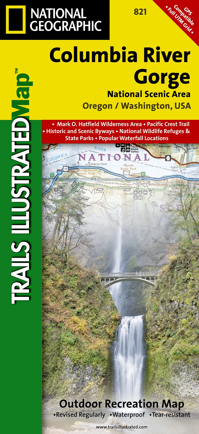
- Columbia River Gorge OR/WA NGS Trails Illustrated Map 821
- Map No. 821, Columbia River Gorge in Oregon and Washington State, in an extensive series of GPS compatible, contoured hiking maps of USA’s national and state parks or forests and other popular recreational areas. Cartography based on the national topographic survey, with additional tourist information.The maps, with most titles now printed on... Lire la suite
- Also available from:
- De Zwerver, Netherlands
De Zwerver
Netherlands
Netherlands
- Wandelkaart - Topografische kaart 821 Columbia River Gorge National Scenic Area | National Geographic
- Prachtige geplastificeerde kaart van het bekende nationaal park. Met alle recreatieve voorzieningen als campsites, maar ook met topografische details en wandelroutes ed. Door uitgekiend kleurgebruik zeer prettig in gebruik. Scheur en watervast! Considered one of the best year-round outdoor recreation areas in the country, the Columbia River... Lire la suite
De Zwerver
Netherlands
Netherlands
- Wegenkaart - landkaart Washington state - Oregon | ITMB
- Oregon / Washington 1:750 000 ab 10.49 EURO Landkarte, doppelseitig Plan Seattle. 1. Auflage Lire la suite

Stanfords
United Kingdom
United Kingdom
- Goat Rocks - Norse Peak William O. Douglas Wilderness Area WA
- Map No. 823, Goat Rocks and Norse Peak Wilderness Area - Gifford-Pinchot and Okanogan-Wenatchee National Forests, WA, in an extensive series of GPS compatible, contoured hiking maps of USA’s national and state parks or forests and other popular recreational areas. Cartography based on the national topographic survey, with additional tourist... Lire la suite
- Also available from:
- Bol.com, Netherlands
- Bol.com, Belgium

Bol.com
Netherlands
Netherlands
- Goat Rocks & Norse Peak Wilderness Area, Gifford-pinchot & Okanogan-wenatchee National Forests
- Waterproof Tear-Resistant Topographic MapGifford-Pinchot and Okanogan-Wenatchee National Forests Washington, USAOne of five new Trails Illustrated maps for the Washington Cascades region offers the most detailed and up-to-date map for the forest, carefully researched and developed in co-operation with local land managers and agencies.... Lire la suite
Bol.com
Belgium
Belgium
- Goat Rocks & Norse Peak Wilderness Area, Gifford-pinchot & Okanogan-wenatchee National Forests
- Waterproof Tear-Resistant Topographic MapGifford-Pinchot and Okanogan-Wenatchee National Forests Washington, USAOne of five new Trails Illustrated maps for the Washington Cascades region offers the most detailed and up-to-date map for the forest, carefully researched and developed in co-operation with local land managers and agencies.... Lire la suite
De Zwerver
Netherlands
2018
Netherlands
2018
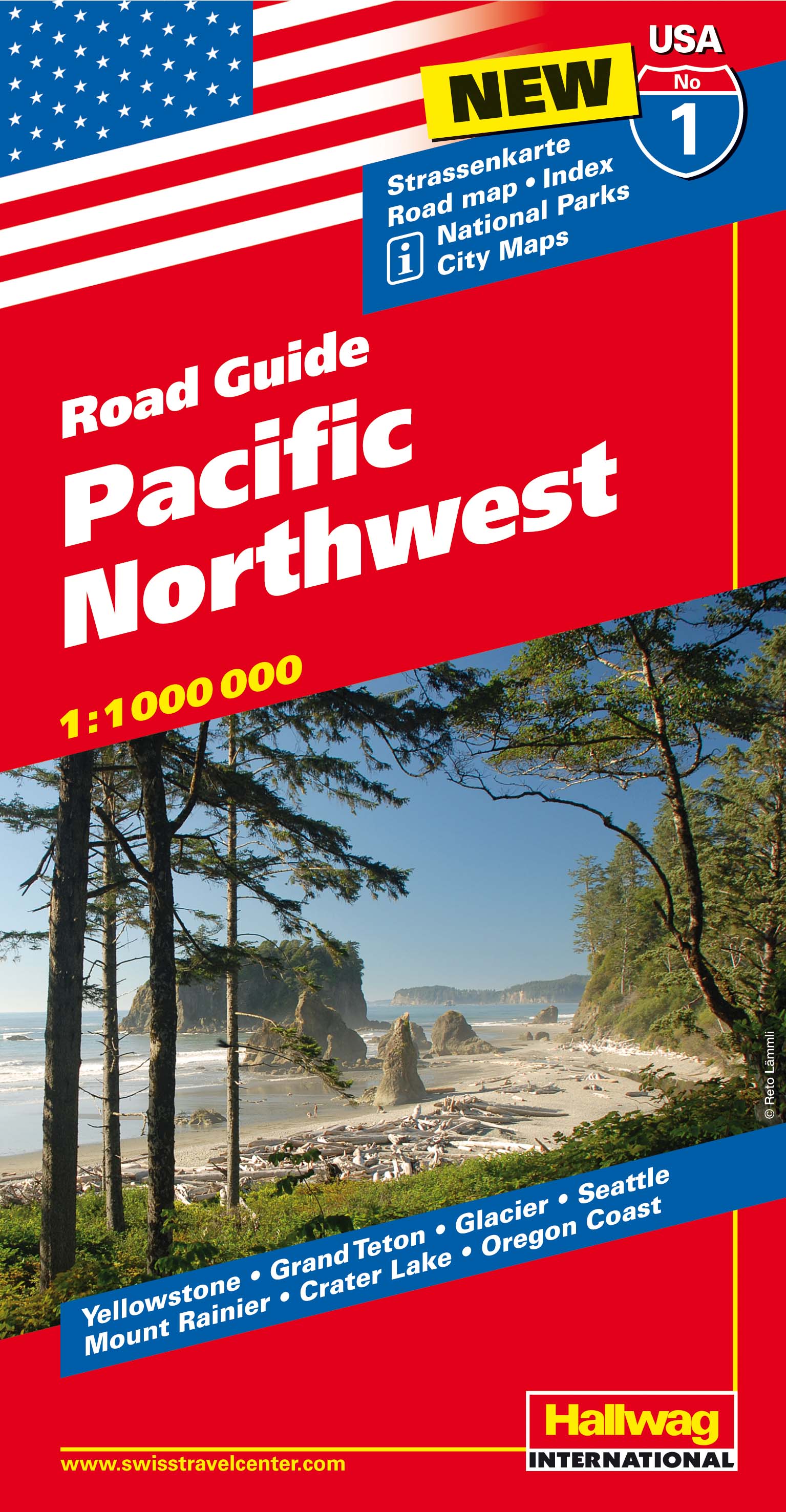
- Wegenkaart - landkaart 01 Pacific Northwest USA | Hallwag
- Hallwag USA Road Guide 01. Pacific Northwest 1 : 1 000 000 ab 11.95 EURO Straßenkarte. Road Maps. Index. National Parks. City Maps. Yellowstone, Grand Teton, Glacier, Seattle, Mount Rainier, Crater Lake, Oregon Cost Hallwag USA Road Guide Hallwag Straßenkarte. Neuauflage, Laufzeit bis 2018 Lire la suite