Cape to Cape Track
Description
- Name Cape to Cape Track
- Distance de sentier 135 km, 84 milles
- Durée en jours 7 jours
- Classement Traildino MW, Marche modérée, sentier de randonnée
- Classement Traversée de montagne T1, Randonnée


135 km, 7 days
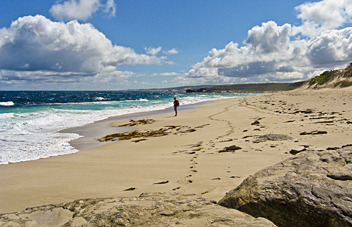
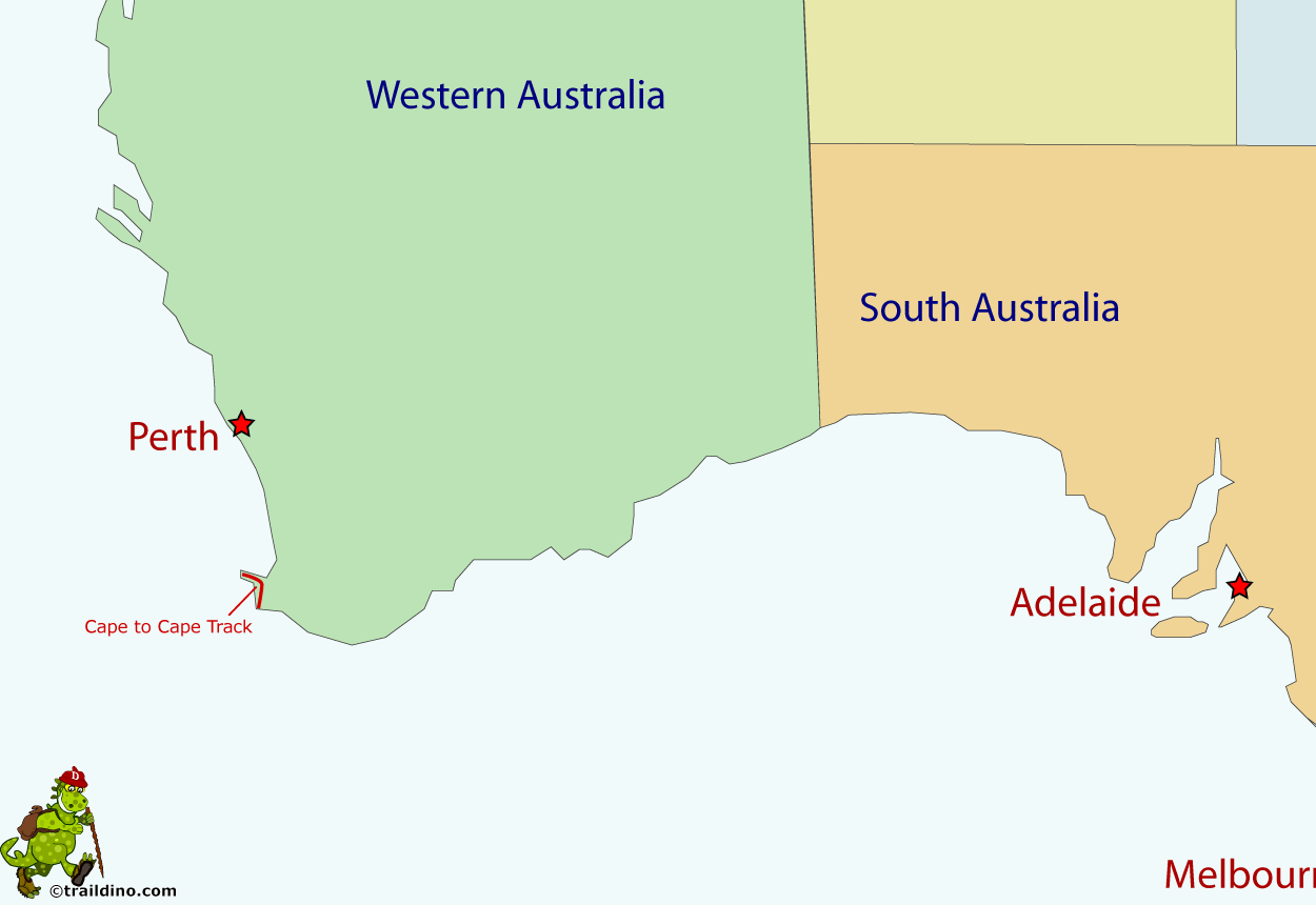
The Cape to Cape Track is situated in the far southwestern corner of Western Australia. It runs for 135 km along the spine of the Leeuwin-Naturaliste Ridge, through the Leeuwin-Naturaliste National Park, between the lighthouses of Cape Naturaliste and Cape Leeuwin. It takes about a week to complete. The Track mostly runs along the coast, with several inland loops. The climate is not too extreme, making hiking possible all year round. Best time to walk is from June to December.
Select some tracks
☐Cape to Cape Track, 126km


