Stanfords
United Kingdom
2019
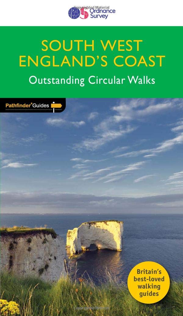
- South West England Coast Walks
- Are you planning a holiday to Devon, Cornwall or the Jurassic Coast? Do you enjoy a walk with stunning coastal scenery? The South West Coast Path is the UK`s most popular National Trail - with Tintagel voted the `best walk in Britain` in a survey of 4,000 readers of Country Walking magazine. Pathfinder (R) Guide to Coastal Walks in South West... Lire la suite