Stanfords
United Kingdom
United Kingdom
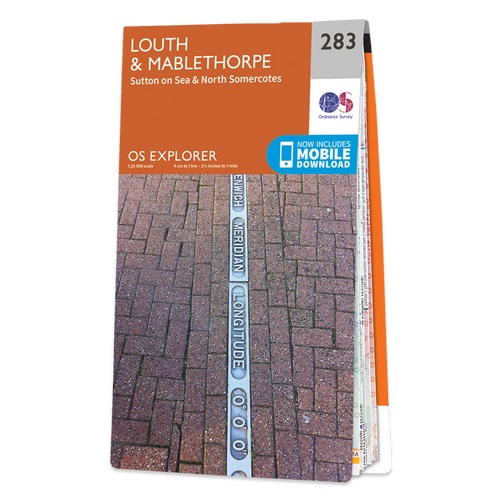
- Louth and Mablethorpe - Sutton on Sea & North Somercotes OS Explorer Active Map 283 (waterproof)
- Louth, Mablethorpe, Sutton on Sea and North Somercotes area on a detailed topographic and GPS compatible map No. 283, waterproof version, from the Ordnance Survey’s 1:25,000 Explorer series. MOBILE DOWNLOADS: this title and all the other OS Explorer maps include a code for downloading after purchase the digital version onto your smartphone or... Lire la suite