This brand new edition Insight Guide to Scotland features illuminating text written by expert, local writers alongside inspiring full-colour photography that vividly brings Scotland and its people to life, at the turn of a page. The top attractions are highlighted to help you plan your trip priorities, including Culloden Moor, Loch Ness,...Lire la suite
Waterproof and tear-resistant OS Active version of map No. 1 from the Ordnance Survey’s Landranger series at 1:50,000, with contoured and GPS compatible topographic mapping plus tourist information.MOBILE DOWNLOADS: As well as the physical edition of the map, each Landranger title now includes a code for downloading after purchase its digital...Lire la suite
Waterproof and tear-resistant OS Active version of map No. 2 from the Ordnance Survey’s Landranger series at 1:50,000, with contoured and GPS compatible topographic mapping plus tourist information.MOBILE DOWNLOADS: As well as the physical edition of the map, each Landranger title now includes a code for downloading after purchase its digital...Lire la suite
Waterproof and tear-resistant OS Active version of map No. 4 from the Ordnance Survey’s Landranger series at 1:50,000, with contoured and GPS compatible topographic mapping plus tourist information.MOBILE DOWNLOADS: As well as the physical edition of the map, each Landranger title now includes a code for downloading after purchase its digital...Lire la suite
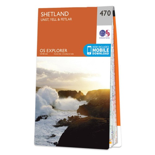
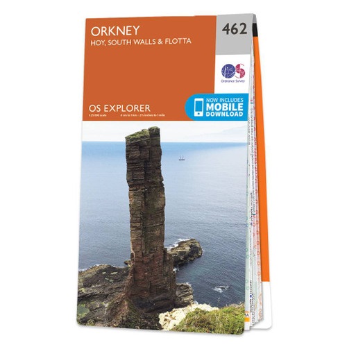
Orkney: Hoy, South Walls and Flotta with the nearby islands and part of Mainland on a detailed topographic and GPS compatible map No. 462, paper version, from the Ordnance Survey’s 1:25,000 Explorer series. MOBILE DOWNLOADS: this title and all the other OS Explorer maps include a code for downloading after purchase the digital version onto your...Lire la suite
Shetland: South Mainland with Lerwick and, Sumburgh, Fair Isle, and the nearby smaller islands on a detailed topographic and GPS compatible map No. 466, paper version, from the Ordnance Survey’s 1:25,000 Explorer series. MOBILE DOWNLOADS: this title and all the other OS Explorer maps include a code for downloading after purchase the digital...Lire la suite
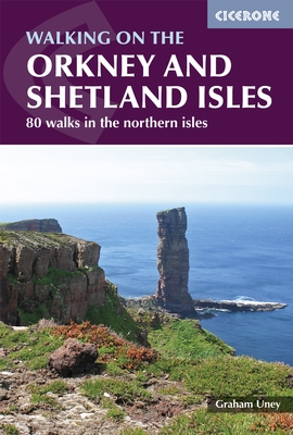
Paper version of map No. 2 from the Ordnance Survey’s Landranger series at 1:50,000, with contoured and GPS compatible topographic mapping plus tourist information.MOBILE DOWNLOADS: As well as the physical edition of the map, each Landranger title now includes a code for downloading after purchase its digital version onto your smartphone or...Lire la suite
`The January Man` is the story of a year of walks that was inspired by a song, Dave Goulder’s ‘The January Man’. Month by month, season by season and region by region, Christopher Somerville walks the British Isles, following routes that continually bring his father to mind. As he travels the country – from the winter floodlands of the River...Lire la suite
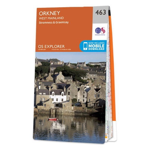
Orkney: the western part of Mainland with Stromness, plus the island of Graemsay on a detailed topographic and GPS compatible map No. 463, paper version, from the Ordnance Survey’s 1:25,000 Explorer series. MOBILE DOWNLOADS: this title and all the other OS Explorer maps include a code for downloading after purchase the digital version onto your...Lire la suite
Shetland: South Mainland with Lerwick and, Sumburgh, Fair Isle, and the nearby smaller islands on a detailed topographic and GPS compatible map No. 466, waterproof version, from the Ordnance Survey’s 1:25,000 Explorer series.MOBILE DOWNLOADS: this title and all the other OS Explorer maps include a code for downloading after purchase the digital...Lire la suite
Paper version of map No. 3 from the Ordnance Survey’s Landranger series at 1:50,000, with contoured and GPS compatible topographic mapping plus tourist information.MOBILE DOWNLOADS: As well as the physical edition of the map, each Landranger title now includes a code for downloading after purchase its digital version onto your smartphone or...Lire la suite
Orkney: the islands of Westray, Papa Westray, Rousay, Egilsay and Wyre with the nearby smaller islands on a detailed topographic and GPS compatible map No. 464, paper version, from the Ordnance Survey’s 1:25,000 Explorer series.MOBILE DOWNLOADS: this title and all the other OS Explorer maps include a code for downloading after purchase the...Lire la suite
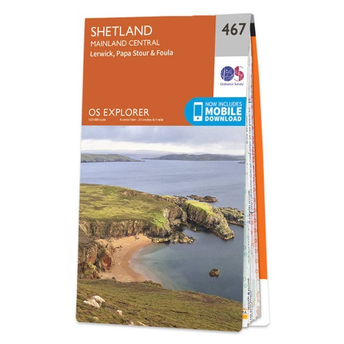
Shetland: Central Mainland with Lerwick, plus Papa Stour, Foula and the nearby smaller islands on a detailed topographic and GPS compatible map No. 467, waterproof version, from the Ordnance Survey’s 1:25,000 Explorer series.MOBILE DOWNLOADS: this title and all the other OS Explorer maps include a code for downloading after purchase the digital...Lire la suite
Paper version of map No. 4 from the Ordnance Survey’s Landranger series at 1:50,000, with contoured and GPS compatible topographic mapping plus tourist information.MOBILE DOWNLOADS: As well as the physical edition of the map, each Landranger title now includes a code for downloading after purchase its digital version onto your smartphone or...Lire la suite