
Stanfords
United Kingdom
2016
United Kingdom
2016
- Yucatan Borch
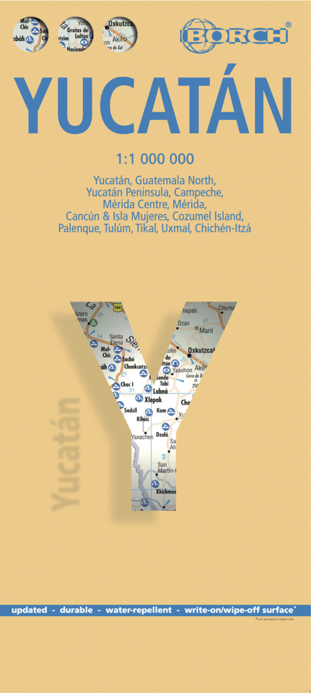
- Yucatan at 1:1,000,00 from Borch on an indexed, laminated and waterproof map of the peninsula with street plans of its main towns, enlargements for the Maya Riviera and Cozumel, plus plans of major Maya sites. The main map covers the peninsula, extending westwards to Villahermosa and south to Belize City, with an inset at the same scale... Lire la suite
- Also available from:
- De Zwerver, Netherlands
De Zwerver
Netherlands
2016
Netherlands
2016
- Wegenkaart - landkaart Yucatan | Borch
- Yucatan at 1:1,000,00 from Borch on an indexed, laminated and waterproof map of the peninsula with street plans of its main towns, enlargements for the Maya Riviera and Cozumel, plus plans of major Maya sites. The main map covers the peninsula, extending westwards to Villahermosa and south to Belize City, with an inset at the same scale... Lire la suite